Map of Trevose CDP
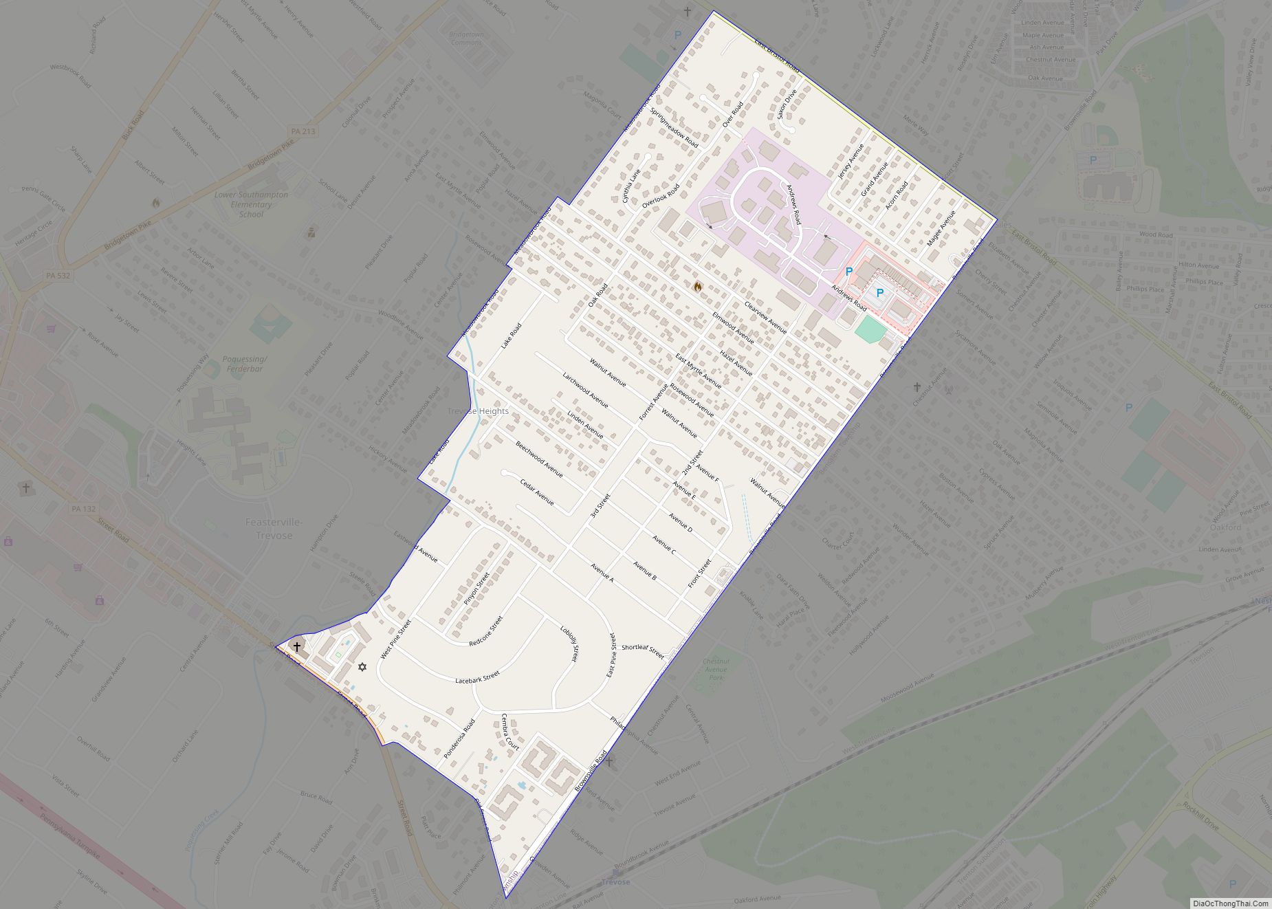
Trevose is a census-designated place within both Bensalem and Lower Southampton townships in Bucks County, Pennsylvania, United States. Trevose was formerly part of Feasterville-Trevose, but was split into two separate CDPs for the 2010 census. U.S. 1 runs through the town as well as the Pennsylvania Turnpike, but Trevose’s main road is Brownsville Road, which ... Read more
Map of Trevose CDP
Map of Trevorton CDP
Trevorton is a census-designated place (CDP) in Zerbe Township, Northumberland County, Pennsylvania, United States. The population was 1,834 at the 2010 census. Trevorton CDP overview: Name: Trevorton CDP LSAD Code: 57 LSAD Description: CDP (suffix) State: Pennsylvania County: Northumberland County Total Area: 4.26 sq mi (11.04 km²) Land Area: 4.26 sq mi (11.04 km²) Water Area: 0.00 sq mi (0.00 km²) Total Population: 1,759 ... Read more
Map of Trevorton CDP
Map of Tresckow CDP
Tresckow, formerly known as Dutchtown, is an unincorporated community and census-designated place (CDP) in Carbon County, Pennsylvania, United States. It is part of Northeastern Pennsylvania and is located west of Junedale and Beaver Meadows, which share the same road network. The community has deep roots in the anthracite coal mining and transportation industries. Tresckow CDP ... Read more
Map of Tresckow CDP
Map of Tremont borough, Pennsylvania
Tremont is a borough in Schuylkill County, Pennsylvania, United States. Situated in the eastern section of Tremont Township, it was incorporated as a borough in 1866, around the same time that a water system was erected in the community. The population was one thousand six hundred and seventy-two at the time of the 2020 census. ... Read more
Map of Tremont borough, Pennsylvania
Map of Treasure Lake CDP
Treasure Lake is a census-designated place (CDP) in Clearfield County, Pennsylvania, United States. The population was 5,460 at the 2020 census. Treasure Lake is a semi-private, gated community centered around its namesake. Treasure Lake CDP overview: Name: Treasure Lake CDP LSAD Code: 57 LSAD Description: CDP (suffix) State: Pennsylvania County: Clearfield County Elevation: 1,740 ft (530 m) ... Read more
Map of Treasure Lake CDP
Map of Trappe borough, Pennsylvania
Trappe (Pennsylvania German: Drapp) is a borough in Montgomery County, Pennsylvania, United States. The population was 3,509 at the 2010 census. Augustus Lutheran Church, built in 1743, is the oldest unchanged Lutheran church building in the United States in continuous use by the same congregation. It has been designated a National Historic Landmark. Trappe borough ... Read more
Map of Trappe borough, Pennsylvania
Map of Trumbauersville borough
Trumbauersville is a borough in Bucks County, Pennsylvania, United States. The population was 974 at the 2010 census. Trumbauersville borough overview: Name: Trumbauersville borough LSAD Code: 21 LSAD Description: borough (suffix) State: Pennsylvania County: Bucks County Incorporated: 1908 Elevation: 538 ft (164 m) Total Area: 0.45 sq mi (1.15 km²) Land Area: 0.45 sq mi (1.15 km²) Water Area: 0.00 sq mi (0.00 km²) Total Population: ... Read more
Map of Trumbauersville borough
Map of Trucksville CDP
Trucksville is a census-designated place (CDP) in Kingston Township, Luzerne County, Pennsylvania, United States. The population was 2,152 at the 2010 census. Trucksville CDP overview: Name: Trucksville CDP LSAD Code: 57 LSAD Description: CDP (suffix) State: Pennsylvania County: Luzerne County Total Area: 1.7 sq mi (4.5 km²) Land Area: 1.7 sq mi (4.5 km²) Water Area: 0 sq mi (0 km²) Total Population: 2,152 ... Read more
Map of Trucksville CDP
Map of Troy borough, Pennsylvania
Troy is a borough in Bradford County, Pennsylvania, United States. It is part of Northeastern Pennsylvania. The population was 1,354 at the 2010 census. Children residing in the borough are assigned to attend the Troy Area School District. Troy borough overview: Name: Troy borough LSAD Code: 21 LSAD Description: borough (suffix) State: Pennsylvania County: Bradford ... Read more
Map of Troy borough, Pennsylvania
Map of Twilight borough, Pennsylvania
Twilight borough overview: Name: Twilight borough LSAD Code: 21 LSAD Description: borough (suffix) State: Pennsylvania County: Washington County FIPS code: 4278008 Online Interactive Map Twilight online map. Source: Basemap layers from Google Map, Open Street Map (OSM), Arcgisonline, Wmflabs. Boundary Data from Database of Global Administrative Areas. Twilight location map. Where is Twilight borough? Twilight ... Read more
Map of Twilight borough, Pennsylvania
Map of Tuscarora CDP, Pennsylvania
Tuscarora is a census-designated place (CDP) in Schuylkill County, Pennsylvania, United States. The population was 980 at the 2010 census. Tuscarora CDP overview: Name: Tuscarora CDP LSAD Code: 57 LSAD Description: CDP (suffix) State: Pennsylvania County: Schuylkill County Total Area: 3.6 sq mi (9.3 km²) Land Area: 3.6 sq mi (9.3 km²) Total Population: 980 Population Density: 270/sq mi (110/km²) ZIP code: ... Read more
Map of Tuscarora CDP, Pennsylvania
Map of Turtle Creek borough
Turtle Creek is a borough in Allegheny County, Pennsylvania, United States, 12 miles (19 km) southeast of Pittsburgh. The population was 5,114 at the 2020 census. George Westinghouse constructed a manufacturing plant nearby. Turtle Creek takes its name from a small stream that flows into the Monongahela River. Before white settlers arrived, there was a small ... Read more
Map of Turtle Creek borough