Tremont is a borough in Schuylkill County, Pennsylvania, United States. Situated in the eastern section of Tremont Township, it was incorporated as a borough in 1866, around the same time that a water system was erected in the community.
The population was one thousand six hundred and seventy-two at the time of the 2020 census.
| Name: | Tremont borough |
|---|---|
| LSAD Code: | 21 |
| LSAD Description: | borough (suffix) |
| State: | Pennsylvania |
| County: | Schuylkill County |
| Incorporated: | 1866 |
| Total Area: | 0.73 sq mi (1.88 km²) |
| Land Area: | 0.73 sq mi (1.88 km²) |
| Water Area: | 0.00 sq mi (0.00 km²) |
| Total Population: | 1,676 |
| Population Density: | 2,308.54/sq mi (891.72/km²) |
| ZIP code: | 17981 |
| Area code: | 570 |
| FIPS code: | 4277392 |
Online Interactive Map
Click on ![]() to view map in "full screen" mode.
to view map in "full screen" mode.
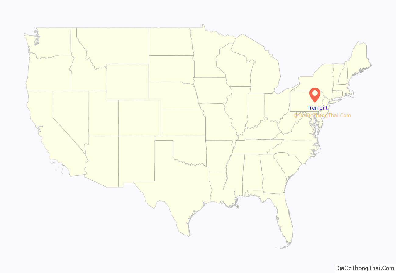
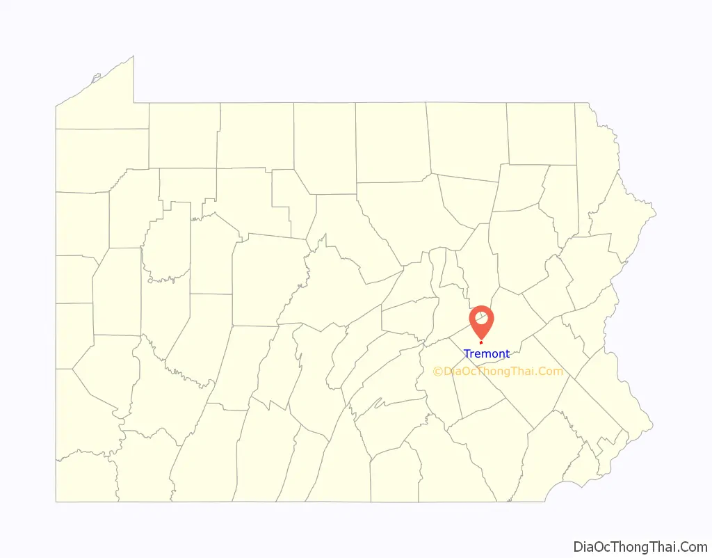
Tremont location map. Where is Tremont borough?
History
According to historian Samuel T. Wiley, no major buildings had been erected, by 1844, on the land that would eventually become the borough of Tremont, while historians Adolf Schalck and David Henning stated that a concerted settlement effort began here sometime that year, “stimulated by the extensive coal developments in the vicinity.”
Within four years, the Tremont Iron Works had been established by Umholtz & Lentz (1847) and a new post office had been established there (1848) with John B. Zeibach serving as its first postmaster. The first National Bank of Tremont subsequently opened its doors in 1865.
Incorporated as a borough in Schuylkill County, Pennsylvania in 1866, Tremont was home to a water works system that was built by Isaac P. Bechtel around the same time as the community’s legal formation. The initial cost of construction was $20,000.
Four years later, Bechtel established the Tremont Water and Gas Company. Construction on Bechtel’s water works system was then completed in December 1874.
The community also supported two newspapers: the Tremont News and the West Schuylkill Press, the latter of which was established and operated by S. C. Kirk until 1884, when he transferred editorial control to John A. Bechtel.
Tremont Road Map

Tremont city Satellite Map

Geography
Tremont is located at 40°37′48″N 76°23′23″W / 40.63000°N 76.38972°W / 40.63000; -76.38972 (40.630052, -76.389677).
According to the United States Census Bureau, the borough has a total area of 0.8 square miles (2.1 km), all land.
See also
Map of Pennsylvania State and its subdivision:- Adams
- Allegheny
- Armstrong
- Beaver
- Bedford
- Berks
- Blair
- Bradford
- Bucks
- Butler
- Cambria
- Cameron
- Carbon
- Centre
- Chester
- Clarion
- Clearfield
- Clinton
- Columbia
- Crawford
- Cumberland
- Dauphin
- Delaware
- Elk
- Erie
- Fayette
- Forest
- Franklin
- Fulton
- Greene
- Huntingdon
- Indiana
- Jefferson
- Juniata
- Lackawanna
- Lancaster
- Lawrence
- Lebanon
- Lehigh
- Luzerne
- Lycoming
- Mc Kean
- Mercer
- Mifflin
- Monroe
- Montgomery
- Montour
- Northampton
- Northumberland
- Perry
- Philadelphia
- Pike
- Potter
- Schuylkill
- Snyder
- Somerset
- Sullivan
- Susquehanna
- Tioga
- Union
- Venango
- Warren
- Washington
- Wayne
- Westmoreland
- Wyoming
- York
- Alabama
- Alaska
- Arizona
- Arkansas
- California
- Colorado
- Connecticut
- Delaware
- District of Columbia
- Florida
- Georgia
- Hawaii
- Idaho
- Illinois
- Indiana
- Iowa
- Kansas
- Kentucky
- Louisiana
- Maine
- Maryland
- Massachusetts
- Michigan
- Minnesota
- Mississippi
- Missouri
- Montana
- Nebraska
- Nevada
- New Hampshire
- New Jersey
- New Mexico
- New York
- North Carolina
- North Dakota
- Ohio
- Oklahoma
- Oregon
- Pennsylvania
- Rhode Island
- South Carolina
- South Dakota
- Tennessee
- Texas
- Utah
- Vermont
- Virginia
- Washington
- West Virginia
- Wisconsin
- Wyoming


