Trevose is a census-designated place within both Bensalem and Lower Southampton townships in Bucks County, Pennsylvania, United States. Trevose was formerly part of Feasterville-Trevose, but was split into two separate CDPs for the 2010 census. U.S. 1 runs through the town as well as the Pennsylvania Turnpike, but Trevose’s main road is Brownsville Road, which is the dividing line between the two townships. As of the 2010 census, Trevose had a population of 3,550.
| Name: | Trevose CDP |
|---|---|
| LSAD Code: | 57 |
| LSAD Description: | CDP (suffix) |
| State: | Pennsylvania |
| County: | Bucks County |
| Elevation: | 128 ft (39 m) |
| Total Area: | 0.706 sq mi (1.83 km²) |
| Land Area: | 0.706 sq mi (1.83 km²) |
| Water Area: | 0 sq mi (0 km²) |
| Total Population: | 3,550 |
| Population Density: | 5,000/sq mi (1,900/km²) |
| ZIP code: | 19053 |
| Area code: | 215, 267 and 445 |
| FIPS code: | 4277456 |
| GNISfeature ID: | 1189750 |
Online Interactive Map
Click on ![]() to view map in "full screen" mode.
to view map in "full screen" mode.
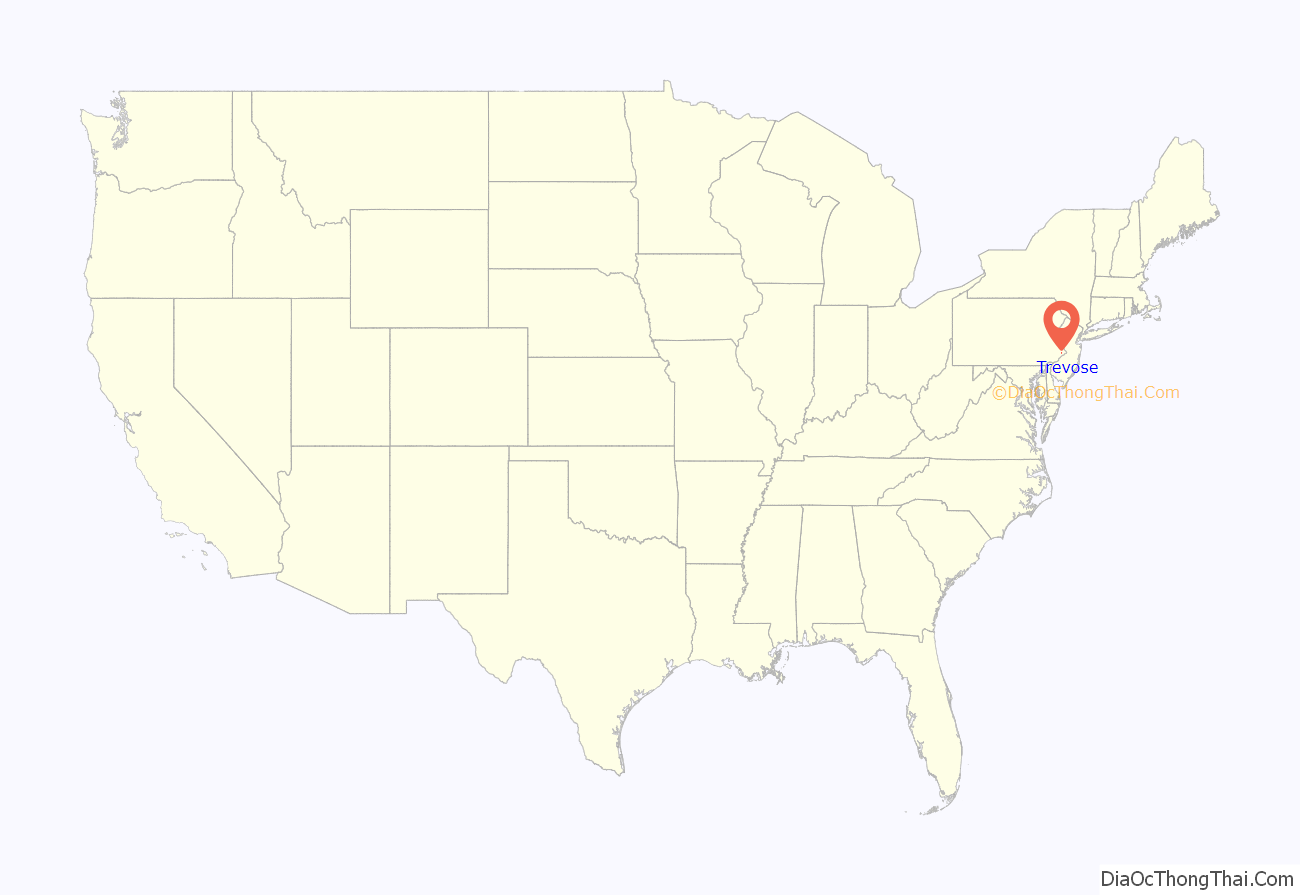
Trevose location map. Where is Trevose CDP?
History
The community is named after the Growden Mansion, the homestead of settler Joseph Growden. The homestead was named after Growden’s homestead in England (Growden was Cornish; Trevose is from the Cornish word Trenfos for farm.).
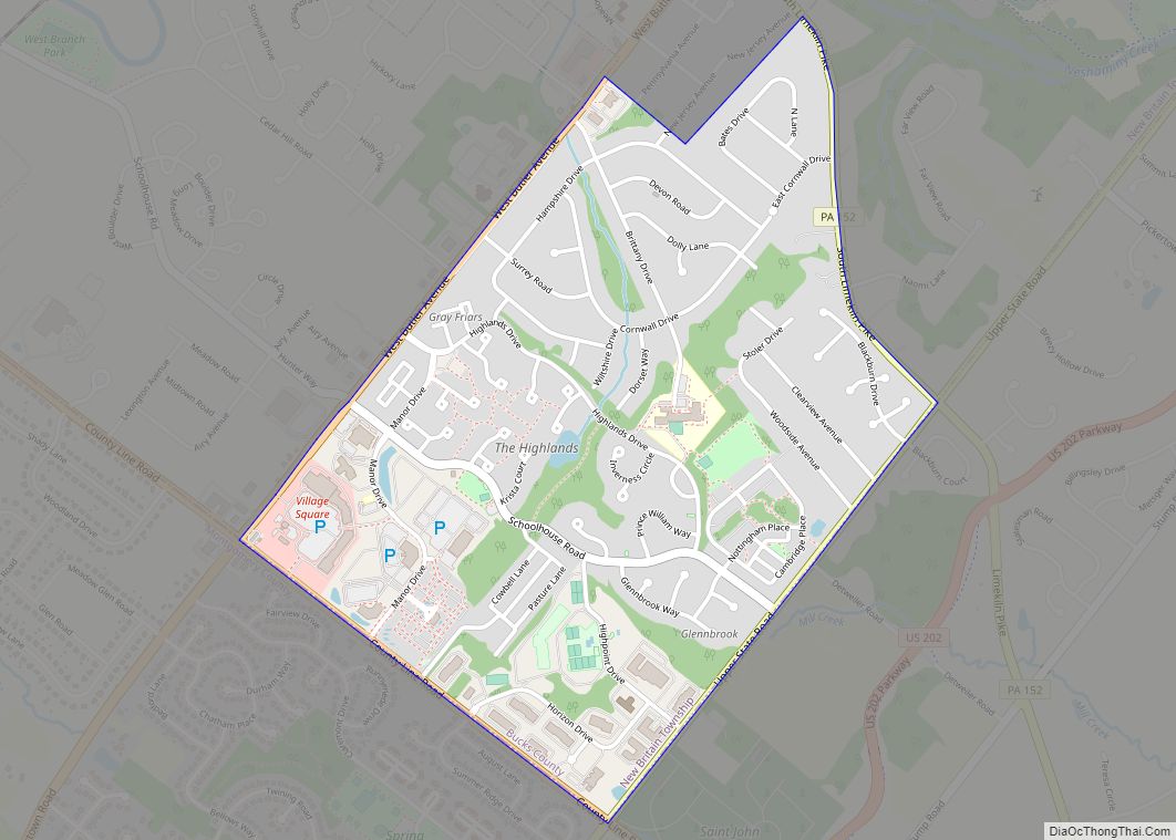
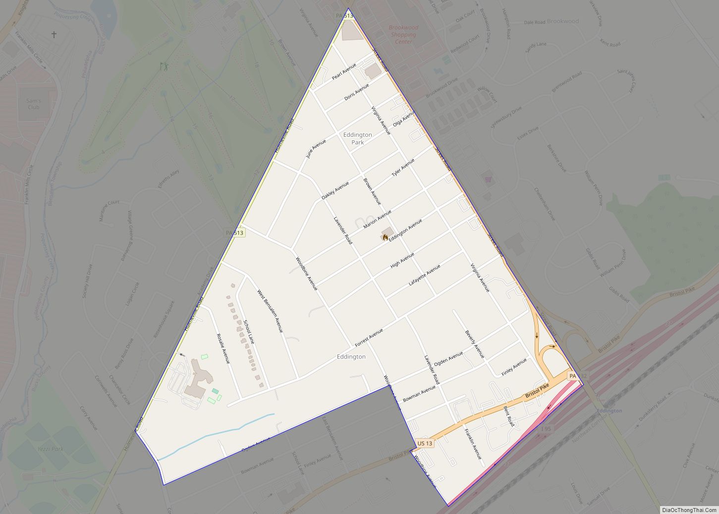
Trevose Road Map
Trevose city Satellite Map
Geography
Climate
According to the Köppen climate classification system, Trevose has a Humid subtropical climate (Cfa). Cfa climates are characterized by all months having an average mean temperature > 32.0 °F (0.0 °C), at least four months with an average mean temperature ≥ 50.0 °F (10.0 °C), at least one month with an average mean temperature ≥ 71.6 °F (22.0 °C) and no significant precipitation difference between seasons. Although most summer days are slightly humid in Trevose, episodes of heat and high humidity can occur with heat index values > 107 °F (42 °C). Since 1981, the highest air temperature was 102.9 °F (39.4 °C) on July 22, 2011, and the highest average mean dew point was 76.5 °F (24.7 °C) on August 13, 1999. The average wettest month is July which corresponds with the annual peak in thunderstorm activity. Since 1981, the wettest calendar day was 6.73 inches (171 mm) on August 27, 2011. During the winter months, the average annual extreme minimum air temperature is 1.2 °F (−17.1 °C). Since 1981, the coldest air temperature was −9.0 °F (−22.8 °C) on January 22, 1984. Episodes of extreme cold and wind can occur with wind chill values < −9 °F (−23 °C). The average annual snowfall (Nov-Apr) is 25.1 inches (64 cm). Ice storms and large snowstorms depositing ≥ 12 inches (30 cm) occur once every few years, particularly during nor’easters from December through February.
The town was struck by an unusually powerful EF3 tornado on July 29, 2021. The tornado, which directly hit a car dealership, was recorded by many bystanders. The town was hit by an unusually powerful EF3 tornado on July 29, 2021. The tornado, which directly impacted a car dealership, was recorded by many bystanders.
See also
Map of Pennsylvania State and its subdivision:- Adams
- Allegheny
- Armstrong
- Beaver
- Bedford
- Berks
- Blair
- Bradford
- Bucks
- Butler
- Cambria
- Cameron
- Carbon
- Centre
- Chester
- Clarion
- Clearfield
- Clinton
- Columbia
- Crawford
- Cumberland
- Dauphin
- Delaware
- Elk
- Erie
- Fayette
- Forest
- Franklin
- Fulton
- Greene
- Huntingdon
- Indiana
- Jefferson
- Juniata
- Lackawanna
- Lancaster
- Lawrence
- Lebanon
- Lehigh
- Luzerne
- Lycoming
- Mc Kean
- Mercer
- Mifflin
- Monroe
- Montgomery
- Montour
- Northampton
- Northumberland
- Perry
- Philadelphia
- Pike
- Potter
- Schuylkill
- Snyder
- Somerset
- Sullivan
- Susquehanna
- Tioga
- Union
- Venango
- Warren
- Washington
- Wayne
- Westmoreland
- Wyoming
- York
- Alabama
- Alaska
- Arizona
- Arkansas
- California
- Colorado
- Connecticut
- Delaware
- District of Columbia
- Florida
- Georgia
- Hawaii
- Idaho
- Illinois
- Indiana
- Iowa
- Kansas
- Kentucky
- Louisiana
- Maine
- Maryland
- Massachusetts
- Michigan
- Minnesota
- Mississippi
- Missouri
- Montana
- Nebraska
- Nevada
- New Hampshire
- New Jersey
- New Mexico
- New York
- North Carolina
- North Dakota
- Ohio
- Oklahoma
- Oregon
- Pennsylvania
- Rhode Island
- South Carolina
- South Dakota
- Tennessee
- Texas
- Utah
- Vermont
- Virginia
- Washington
- West Virginia
- Wisconsin
- Wyoming
