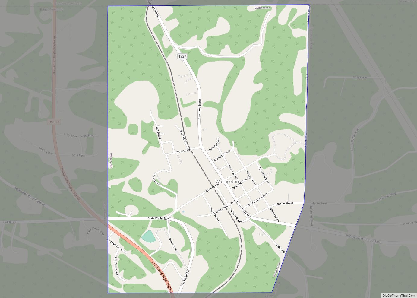
Wallaceton is a borough in Clearfield County, Pennsylvania, United States. The population was 297 at the 2020 census. Wallaceton borough overview: Name: Wallaceton borough LSAD Code: 21 LSAD Description: borough (suffix) State: Pennsylvania County: Clearfield County Incorporated: 1873 Elevation: 1,750 ft (530 m) Total Area: 0.77 sq mi (1.98 km²) Land Area: 0.76 sq mi (1.98 km²) Water Area: 0.00 sq mi (0.01 km²) Total Population: ... Read more
Pennsylvania Cities and Places
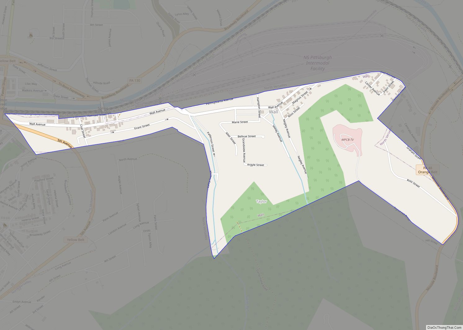
Wall is a borough in Allegheny County, Pennsylvania, United States. The population was 519 at the 2020 census. Wall borough overview: Name: Wall borough LSAD Code: 21 LSAD Description: borough (suffix) State: Pennsylvania County: Allegheny County Total Area: 0.44 sq mi (1.13 km²) Land Area: 0.44 sq mi (1.13 km²) Water Area: 0.00 sq mi (0.00 km²) Total Population: 519 Population Density: 1,271.69/sq mi (491.40/km²) ... Read more
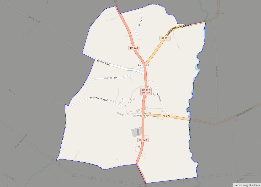
Wakefield is an unincorporated community and census-designated place (CDP) within Fulton Township, Lancaster County, Pennsylvania, United States. As of the 2010 census, the population was 609. It is the largest community within the “Peach Bottom” ZIP code, with the area post office on Pennsylvania Route 272, just north of town. Wakefield CDP overview: Name: Wakefield ... Read more
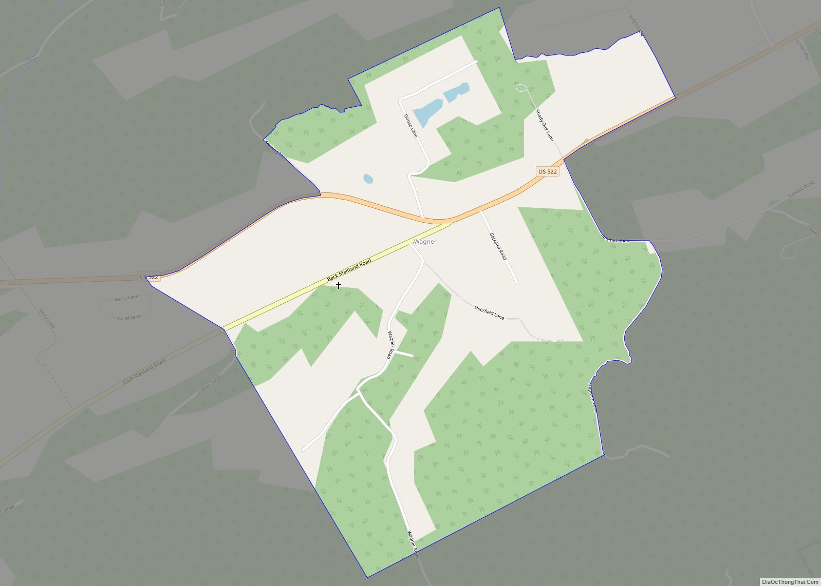
Wagner is a census-designated place located in Decatur Township, Mifflin County in the state of Pennsylvania, United States. It is located along U.S. Route 522 in eastern Mifflin County, north of Shade Mountain. As of the 2010 census the population was 128 residents. Wagner CDP overview: Name: Wagner CDP LSAD Code: 57 LSAD Description: CDP ... Read more
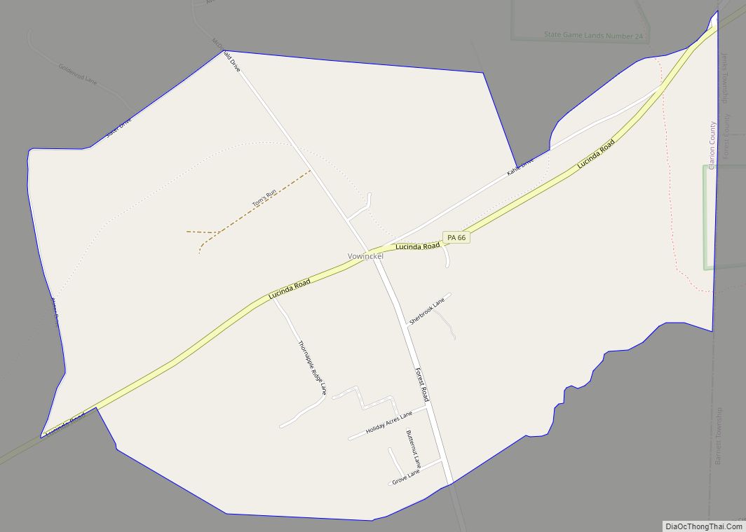
Vowinckel is a census-designated place in Farmington Township, Clarion County, in the U.S. state of Pennsylvania. The community is located along Pennsylvania Route 66 in far northeastern Clarion County. As of the 2010 census the population was 139. Vowinckel CDP overview: Name: Vowinckel CDP LSAD Code: 57 LSAD Description: CDP (suffix) State: Pennsylvania County: Clarion ... Read more
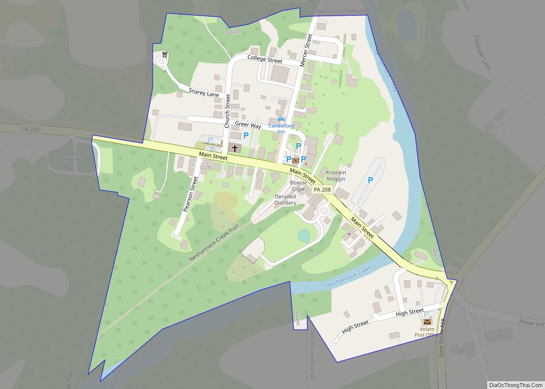
Volant is a borough in Lawrence County, Pennsylvania, United States. The population was 127 at the 2020 Census. Volant is surrounded by Old Order Amish farms of the New Wilmington settlement. It is part of the New Castle micropolitan area. Volant borough overview: Name: Volant borough LSAD Code: 21 LSAD Description: borough (suffix) State: Pennsylvania ... Read more
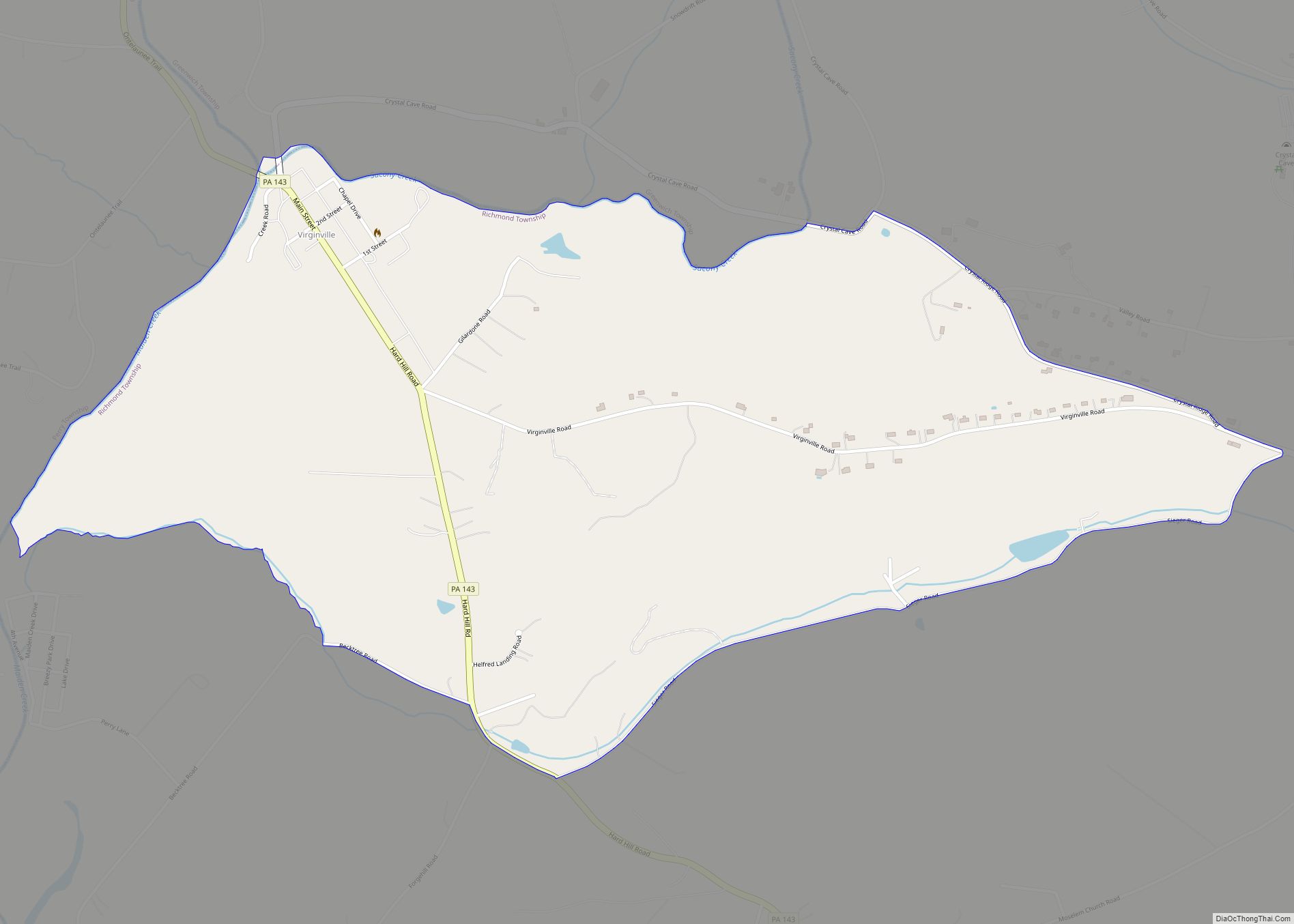
Virginville is a census-designated place in Richmond Township, Berks County, Pennsylvania, United States. It is located at the junction of PA 143 and Crystal Ridge Road, and is approximately seven miles to the south of the borough of Lenhartsville. The community was designated as the Virginville Historic District by the National Register of Historic Places in ... Read more
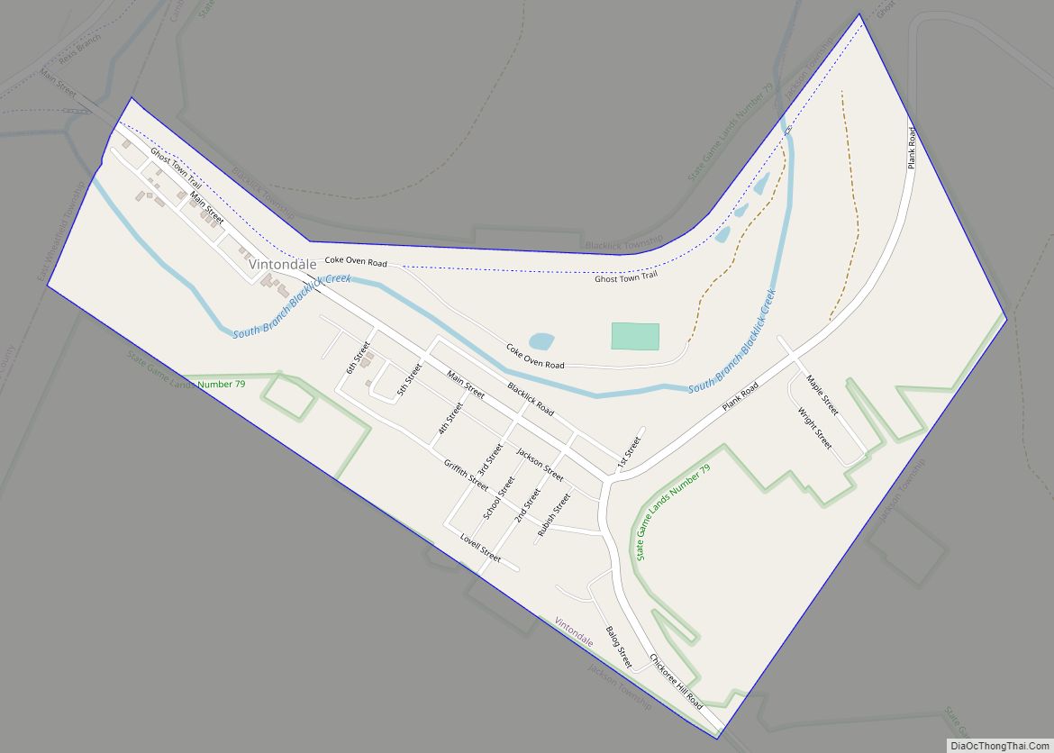
Vintondale is a borough in Cambria County, Pennsylvania, United States. It is part of the Johnstown, Pennsylvania Metropolitan Statistical Area. The population was 414 as of the 2010 census. Vintondale borough overview: Name: Vintondale borough LSAD Code: 21 LSAD Description: borough (suffix) State: Pennsylvania County: Cambria County Incorporated: 1907 Elevation: 1,408 ft (429 m) Total Area: 0.49 sq mi ... Read more
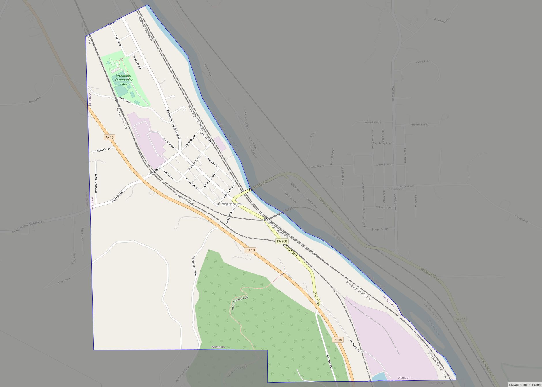
Wampum is a borough in Lawrence County, Pennsylvania. The population was 557 at the 2020 census. It is part of the New Castle micropolitan area. Wampum borough overview: Name: Wampum borough LSAD Code: 21 LSAD Description: borough (suffix) State: Pennsylvania County: Lawrence County Total Area: 1.03 sq mi (2.67 km²) Land Area: 0.98 sq mi (2.55 km²) Water Area: 0.05 sq mi (0.12 km²) ... Read more
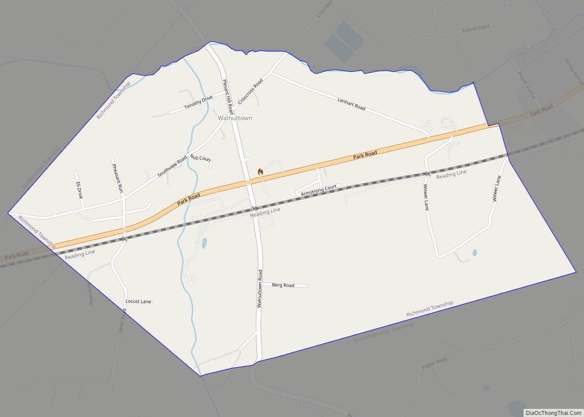
Walnuttown is a census-designated place in Berks County, Pennsylvania, United States. It is mainly in Richmond Township but also in Maidencreek Township. It is a short distance west of Fleetwood and south of U.S. Route 222. Willow Creek flows west through the CDP into Maiden Creek, just east of the latter’s mouth into the Schuylkill ... Read more
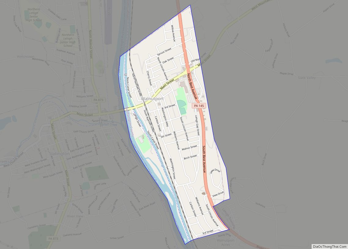
Walnutport is a borough in Northampton County, Pennsylvania. It was first incorporated in 1909. The population of Walnutport was 2,067 at the 2020 census. Walnutport is located along the Lehigh River and is part of the Lehigh Valley metropolitan area, which had a population of 861,899 and was the 68th-most populous metropolitan area in the ... Read more
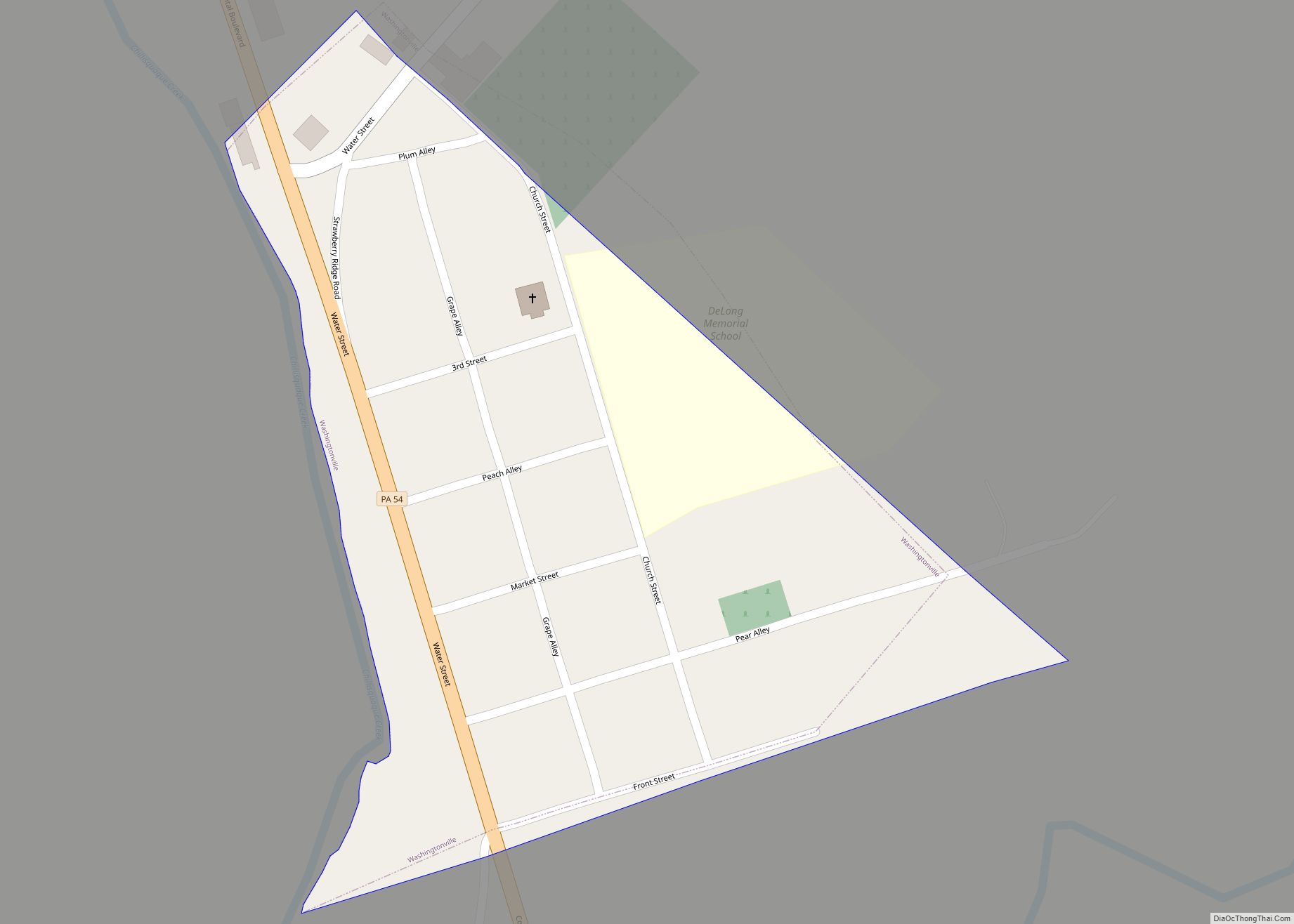
Washingtonville is a borough in Montour County, Pennsylvania, United States. The population was 200 at the 2020 census.< It is part of the Bloomsburg-Berwick micropolitan area. Washingtonville borough overview: Name: Washingtonville borough LSAD Code: 21 LSAD Description: borough (suffix) State: Pennsylvania County: Montour County Total Area: 0.05 sq mi (0.14 km²) Land Area: 0.05 sq mi (0.14 km²) Water Area: 0.00 sq mi ... Read more
