Washingtonville is a borough in Montour County, Pennsylvania, United States. The population was 200 at the 2020 census.< It is part of the Bloomsburg-Berwick micropolitan area.
| Name: | Washingtonville borough |
|---|---|
| LSAD Code: | 21 |
| LSAD Description: | borough (suffix) |
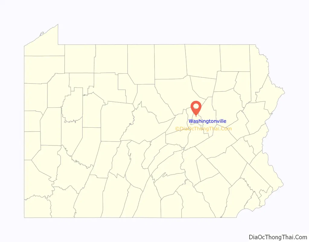
| State: | Pennsylvania |
| County: | Montour County |
| Total Area: | 0.05 sq mi (0.14 km²) |
| Land Area: | 0.05 sq mi (0.14 km²) |
| Water Area: | 0.00 sq mi (0.00 km²) |
| Total Population: | 200 |
| Population Density: | 5,092.59/sq mi (1,950.85/km²) |
| ZIP code: | 17884 |
| Area code: | 570 |
| FIPS code: | 4281424 |
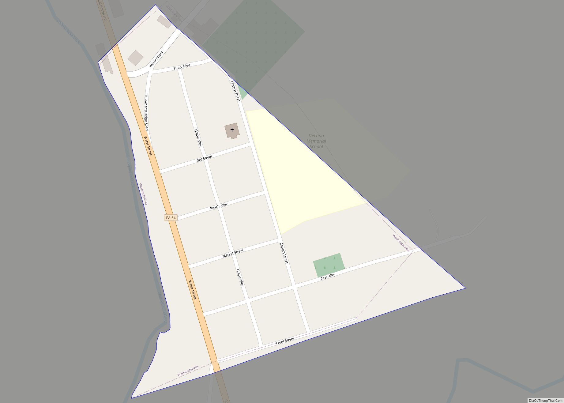
Online Interactive Map
Click on ![]() to view map in "full screen" mode.
to view map in "full screen" mode.
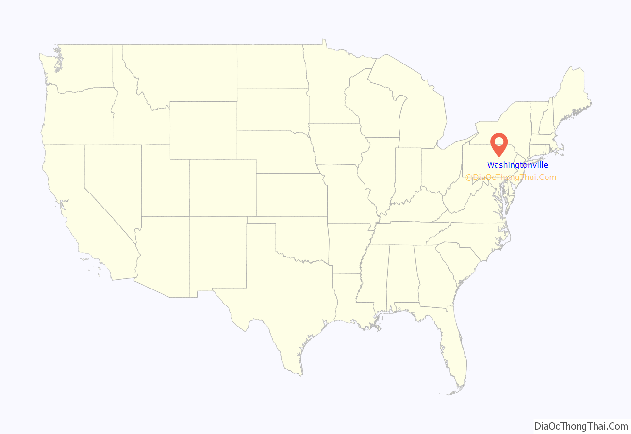
Washingtonville location map. Where is Washingtonville borough?
History
The small borough is named after the first American president, George Washington. Before the time of the town’s founding during the Revolutionary War, Fort Bosley stood along the eastern backs of Chillisquaque Creek near its confluence with Mud Creek. During, the early 20th century, millionaire Frank DeLong would often visit the borough to get away from the city. He ended up donating a school, which at the time was considered one of the best facilities in the country, to the town. He also turned the old Presbyterian Church into a memorial for his mother. Today, the old school building is now a nursing home, and the memorial still stands today, containing many historical artifacts. Recently, the remains of an 18th century log cabin were discovered at the corner of Front and Water Streets, suggesting early settlement of permanent residents.
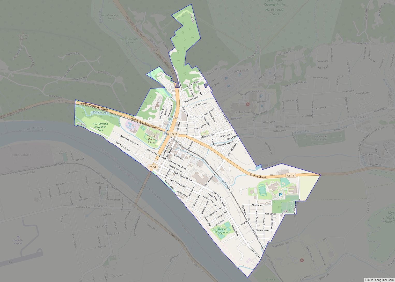
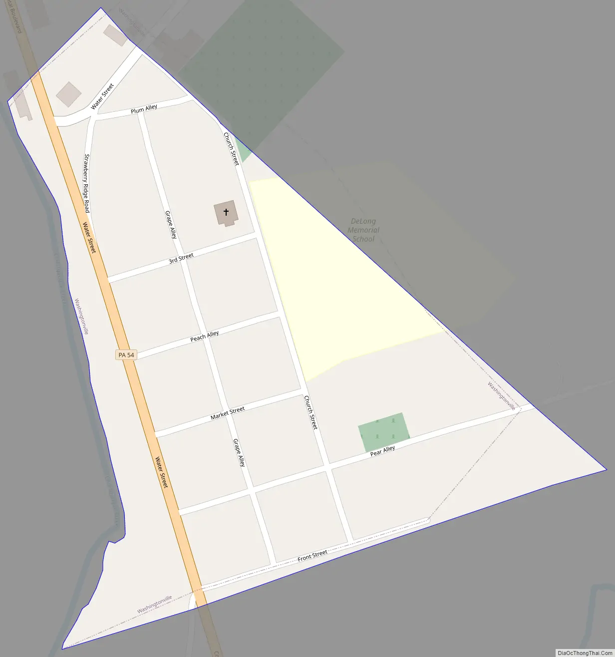
Washingtonville Road Map
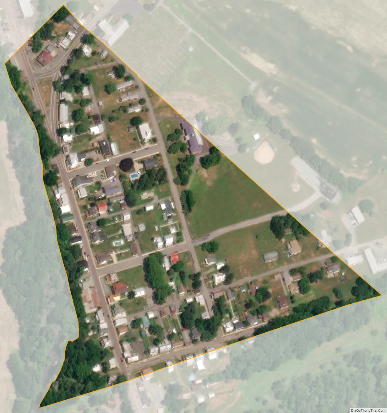
Washingtonville city Satellite Map
Geography
According to the United States Census Bureau, the borough has a total area of 0.1 square miles (0.26 km), all land. Washingtonville sits at the intersection of state routes 54 and 254. Washingtonville is bordered on the west by Chillisquaque Creek. The eastern part of the borough is atop a low hill. The town’s land is almost entirely residential.
See also
Map of Pennsylvania State and its subdivision:- Adams
- Allegheny
- Armstrong
- Beaver
- Bedford
- Berks
- Blair
- Bradford
- Bucks
- Butler
- Cambria
- Cameron
- Carbon
- Centre
- Chester
- Clarion
- Clearfield
- Clinton
- Columbia
- Crawford
- Cumberland
- Dauphin
- Delaware
- Elk
- Erie
- Fayette
- Forest
- Franklin
- Fulton
- Greene
- Huntingdon
- Indiana
- Jefferson
- Juniata
- Lackawanna
- Lancaster
- Lawrence
- Lebanon
- Lehigh
- Luzerne
- Lycoming
- Mc Kean
- Mercer
- Mifflin
- Monroe
- Montgomery
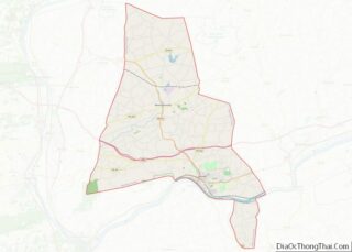
- Montour
- Northampton
- Northumberland
- Perry
- Philadelphia
- Pike
- Potter
- Schuylkill
- Snyder
- Somerset
- Sullivan
- Susquehanna
- Tioga
- Union
- Venango
- Warren
- Washington
- Wayne
- Westmoreland
- Wyoming
- York
- Alabama
- Alaska
- Arizona
- Arkansas
- California
- Colorado
- Connecticut
- Delaware
- District of Columbia
- Florida
- Georgia
- Hawaii
- Idaho
- Illinois
- Indiana
- Iowa
- Kansas
- Kentucky
- Louisiana
- Maine
- Maryland
- Massachusetts
- Michigan
- Minnesota
- Mississippi
- Missouri
- Montana
- Nebraska
- Nevada
- New Hampshire
- New Jersey
- New Mexico
- New York
- North Carolina
- North Dakota
- Ohio
- Oklahoma
- Oregon
- Pennsylvania
- Rhode Island
- South Carolina
- South Dakota
- Tennessee
- Texas
- Utah
- Vermont
- Virginia
- Washington
- West Virginia
- Wisconsin
- Wyoming