Washington is a city in and the county seat of Washington County, Pennsylvania, United States. The population was 13,176 at the 2020 census. A part of the Pittsburgh metropolitan area in the southwestern part of the state, the city is home to Washington & Jefferson College and Pony League baseball.
| Name: | Washington city |
|---|---|
| LSAD Code: | 25 |
| LSAD Description: | city (suffix) |
| State: | Pennsylvania |
| County: | Washington County |
| Elevation: | 1,178 ft (359 m) |
| Total Area: | 2.92 sq mi (7.56 km²) |
| Land Area: | 2.92 sq mi (7.56 km²) |
| Water Area: | 0.00 sq mi (0.00 km²) |
| Total Population: | 13,176 |
| Population Density: | 4,516.97/sq mi (1,743.82/km²) |
| ZIP code: | 15301 |
| Area code: | 724, 878 |
| FIPS code: | 4281328 |
| Website: | http://www.washingtonpa.us/ |
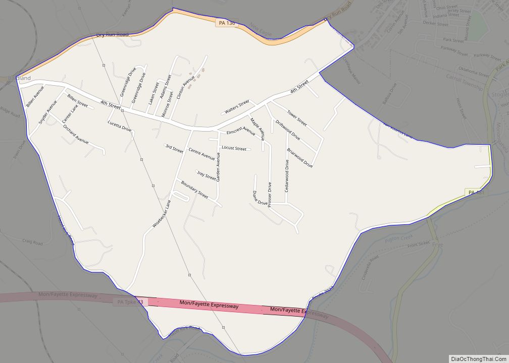
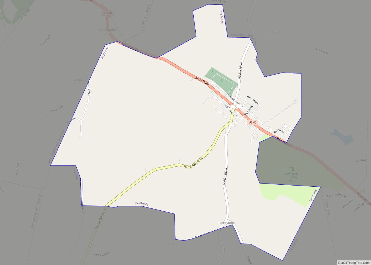
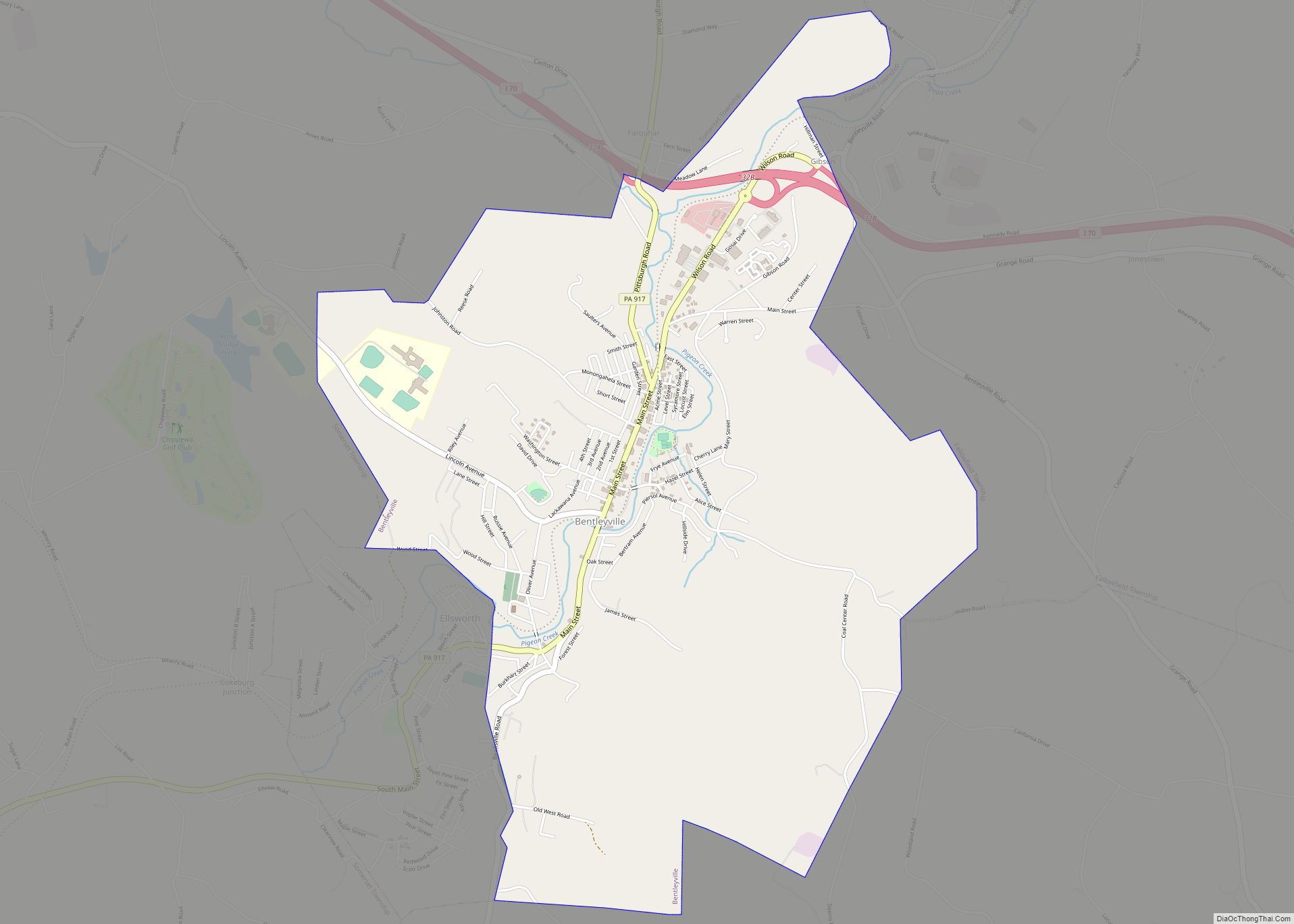
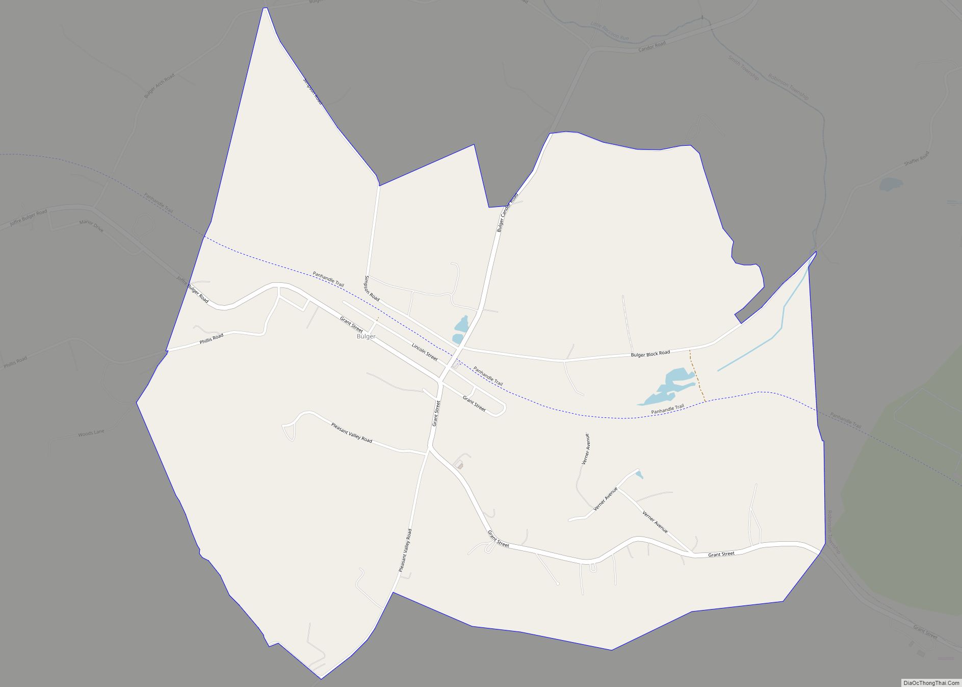
Online Interactive Map
Click on ![]() to view map in "full screen" mode.
to view map in "full screen" mode.
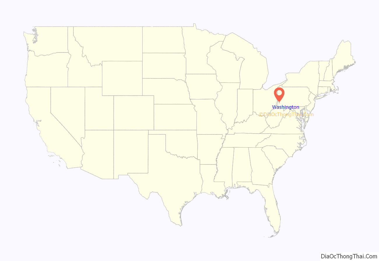
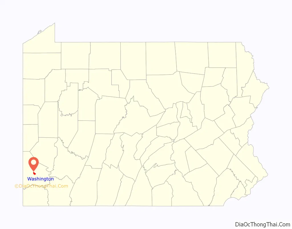
Washington location map. Where is Washington city?
History
Delaware Indian chief Tangooqua, commonly known as “Catfish”, had a camp on a branch of Chartiers Creek, in what is now part of the city of Washington. The French labeled the area “Wissameking”, meaning “catfish place”, as early as 1757. The area of Washington was settled by many immigrants from Scotland and the north of Ireland along with settlers from eastern and central parts of colonial Virginia. It was first settled by colonists around 1768.
The Pennsylvania General Assembly passed an act on March 28, 1781, erecting the County of Washington and naming “Catfish Camp” as the place for holding the first election. This was the first county in the U.S. to be named in honor of General George Washington. David Hoge laid out a plan of lots immediately after the legislature’s action. His original plot carried the name “Bassett, alias Dandridge Town,” but before the plot was recorded, lines were drawn through “Bassett, alias Dandridge Town” with ink, and the word “Washington” was written above. There have long been rumors among locals that the town was named Washington because George Washington spent the night in the region once. This is not true however; Washington had never been to the area.
The original plot dedicated a tract of ground to the people for recreational purposes. A lot was given for a courthouse where the current building now stands, and Lots 43 and 102, according to the plan, were presented by Hoge to “His Excellency, General Washington, and Mrs. Washington.”
Washington, Pennsylvania, was the center for the ‘Whiskey Rebellion’ of 1791, which was one of the first open rebellions against the new U.S. government and Constitution. The rebellion was centered on a tax being imposed on whiskey distillation in the region. The house of David Bradford, one of the leaders of the rebellion, is now a museum devoted to the Whiskey Rebellion, the David Bradford House, located on South Main Street of the city.
The town was incorporated as a borough on February 13, 1810, and became a city of the third class in 1924.
In August 1875, construction began of the 3 ft (914 mm) Waynesburg and Washington Railroad, conceived by John Day in 1874 and chartered in 1875. Passenger services ended in 1929, conversion to standard gauge followed in 1944, when it was renamed the Waynesburg Secondary. Freight services ended in 1976, although part of the line still survives for access to a coal mine.
The discovery of oil and natural gas among the Washington oil field caused a boom period from the 1880s to the early 1900s.
James B. Wilson chartered the Washington Electric Street Railways in 1889 with construction beginning in November 1890. The first line was built from the Waynesburg and Washington Narrow Gauge station to Wilson Orchard, just north of the present day site of the Washington Hospital.
In 1903, the Washington and Canonsburg Railway Company linked Washington to Canonsburg, Pennsylvania with a trolley line. The company was bought by the Philadelphia Company in 1906, later becoming part of the Pittsburgh Railway Company, linking through to Pittsburgh as part of their interurban service in 1909. The line closed on August 29, 1953. A short section of the line and a number of trolley cars are preserved at the Pennsylvania Trolley Museum north of the city.
Washington Road Map

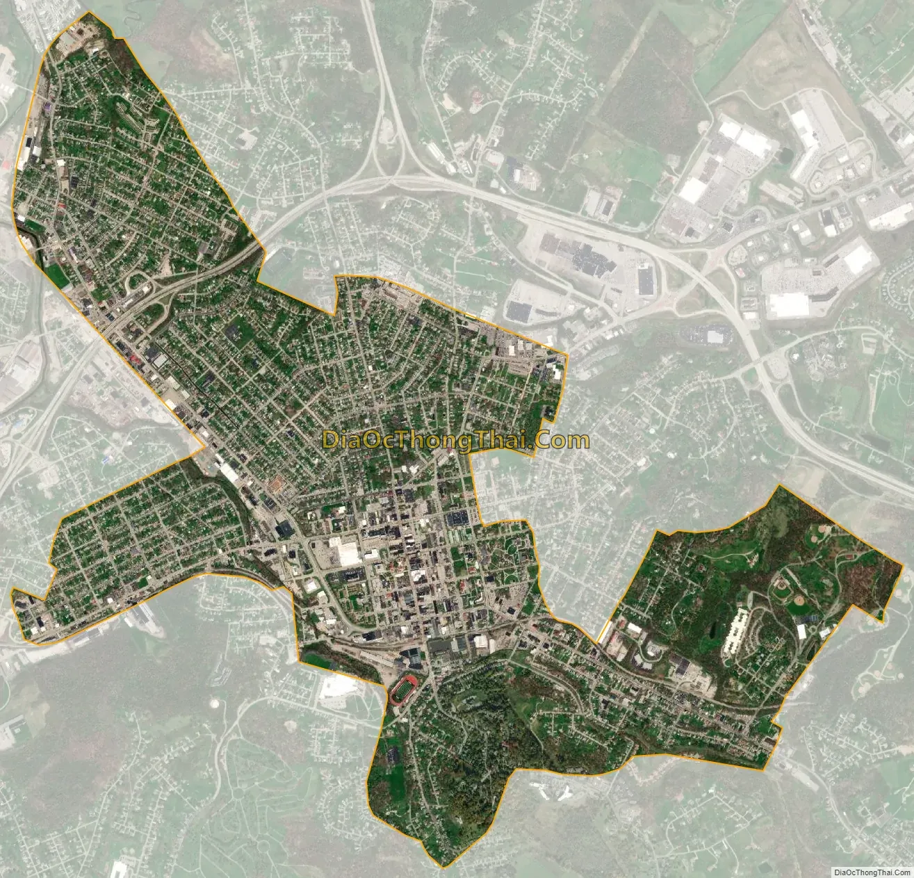
Washington city Satellite Map
Geography
According to the United States Census Bureau, Washington has a total area of 3.3 square miles (8.5 km), all land.
See also
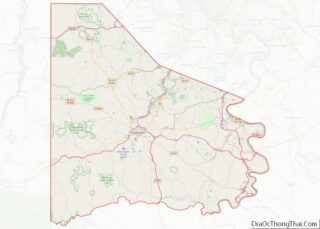
Map of Pennsylvania State and its subdivision:- Adams
- Allegheny
- Armstrong
- Beaver
- Bedford
- Berks
- Blair
- Bradford
- Bucks
- Butler
- Cambria
- Cameron
- Carbon
- Centre
- Chester
- Clarion
- Clearfield
- Clinton
- Columbia
- Crawford
- Cumberland
- Dauphin
- Delaware
- Elk
- Erie
- Fayette
- Forest
- Franklin
- Fulton
- Greene
- Huntingdon
- Indiana
- Jefferson
- Juniata
- Lackawanna
- Lancaster
- Lawrence
- Lebanon
- Lehigh
- Luzerne
- Lycoming
- Mc Kean
- Mercer
- Mifflin
- Monroe
- Montgomery
- Montour
- Northampton
- Northumberland
- Perry
- Philadelphia
- Pike
- Potter
- Schuylkill
- Snyder
- Somerset
- Sullivan
- Susquehanna
- Tioga
- Union
- Venango
- Warren
- Washington
- Wayne
- Westmoreland
- Wyoming
- York
- Alabama
- Alaska
- Arizona
- Arkansas
- California
- Colorado
- Connecticut
- Delaware
- District of Columbia
- Florida
- Georgia
- Hawaii
- Idaho
- Illinois
- Indiana
- Iowa
- Kansas
- Kentucky
- Louisiana
- Maine
- Maryland
- Massachusetts
- Michigan
- Minnesota
- Mississippi
- Missouri
- Montana
- Nebraska
- Nevada
- New Hampshire
- New Jersey
- New Mexico
- New York
- North Carolina
- North Dakota
- Ohio
- Oklahoma
- Oregon
- Pennsylvania
- Rhode Island
- South Carolina
- South Dakota
- Tennessee
- Texas
- Utah
- Vermont
- Virginia
- Washington
- West Virginia
- Wisconsin
- Wyoming