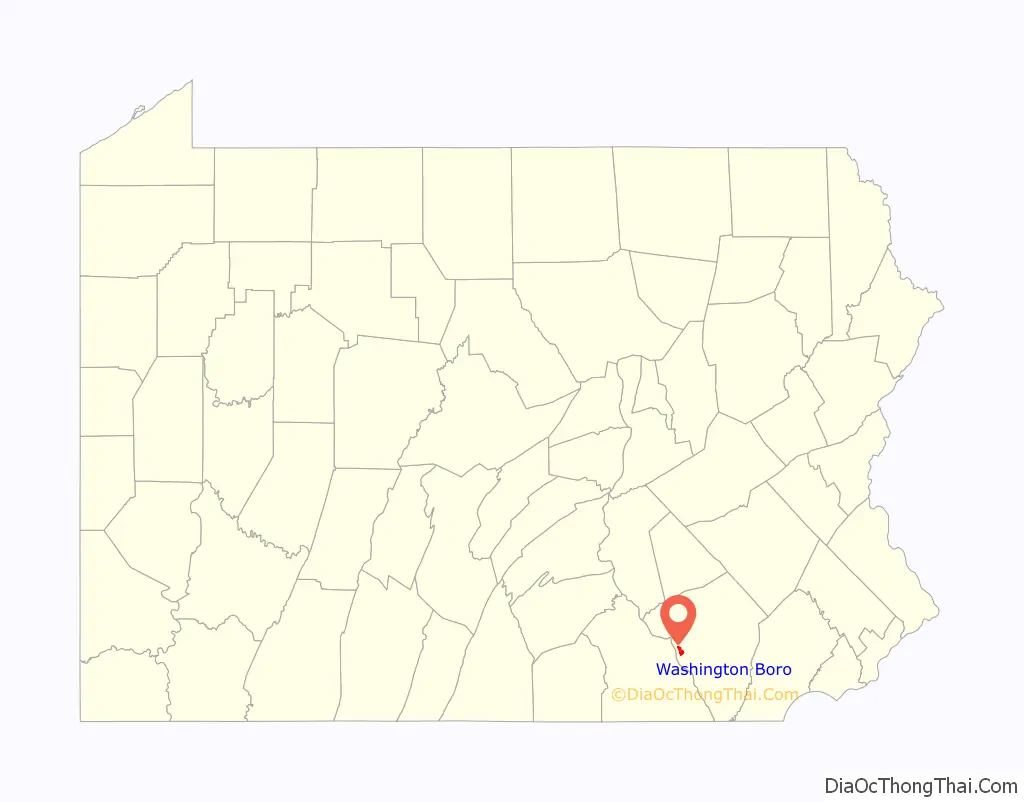
Washington Boro is an unincorporated community and census-designated place (CDP) in Manor Township, Lancaster County, Pennsylvania, United States, along the Susquehanna River. The ZIP code is 17582. It is served by the Penn Manor School District and is the terminus of Pennsylvania Route 441 and Pennsylvania Route 999. As of the 2010 census, the population was 729.
| Name: | Washington Boro CDP |
|---|---|
| LSAD Code: | 57 |
| LSAD Description: | CDP (suffix) |
| State: | Pennsylvania |
| County: | Lancaster County |
| Elevation: | 281 ft (86 m) |
| Total Area: | 1.93 sq mi (5.00 km²) |
| Land Area: | 1.93 sq mi (4.99 km²) |
| Water Area: | 0.0 sq mi (0.0 km²) |
| Total Population: | 729 |
| Population Density: | 378/sq mi (146.1/km²) |
| ZIP code: | 17582 |
| Area code: | 717 |
| FIPS code: | 4281360 |
| GNISfeature ID: | 1193613 |
Online Interactive Map
Click on ![]() to view map in "full screen" mode.
to view map in "full screen" mode.
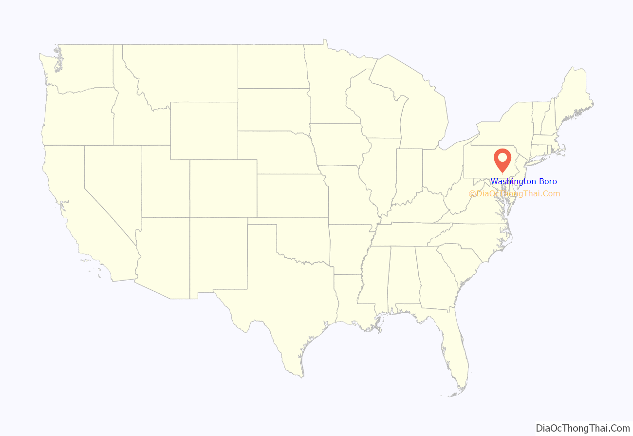
Washington Boro location map. Where is Washington Boro CDP?
History
The French-Canadian fur trader Martin Chartier and his son Peter Chartier established a trading post near this area in 1718. A monument was erected on the spot in 1925 by the Pennsylvania Historical Commission and the Lancaster County Historical Society.
Also called the “Borough of Washington” or “Washingtonboro” in the past, the small community was settled in 1810 and incorporated in 1827. It was a center of river trade and river jobs, as it is located near the site of the first colonial-era animal-powered ferry across the lower Susquehanna River—Wright’s Ferry between present-day Columbia and Wrightsville. Due to the decline of river trade and jobs, the Borough of Washington was dissolved politically, effective December 31, 1973, becoming part of Manor Township.
Washington Boro Road Map

Washington Boro city Satellite Map

Geography
Washington Boro is located in western Lancaster County, in the northwestern corner of Manor Township. It is situated on the east bank of the Susquehanna River opposite Leibharts Corner in York County. The Susquehanna in this area is impounded by the Safe Harbor Dam 7 miles (11 km) to the southeast, forming Lake Clarke. Washington Boro is at the center of what was known in colonial times as the Conejohela Flats on the Susquehanna.
Pennsylvania Route 441 has its southern terminus in Washington Boro and leads north (upriver) 4 miles (6 km) to Columbia. PA 999 has its western terminus at PA 441 and leads northeast 10 miles (16 km) to Lancaster, the county seat.
According to the U.S. Census Bureau, Washington Boro has a total area of 1.9 square miles (5.0 km), of which 1.1 acres (4,592 m), or 0.09%, are water.
See also
Map of Pennsylvania State and its subdivision:- Adams
- Allegheny
- Armstrong
- Beaver
- Bedford
- Berks
- Blair
- Bradford
- Bucks
- Butler
- Cambria
- Cameron
- Carbon
- Centre
- Chester
- Clarion
- Clearfield
- Clinton
- Columbia
- Crawford
- Cumberland
- Dauphin
- Delaware
- Elk
- Erie
- Fayette
- Forest
- Franklin
- Fulton
- Greene
- Huntingdon
- Indiana
- Jefferson
- Juniata
- Lackawanna
- Lancaster
- Lawrence
- Lebanon
- Lehigh
- Luzerne
- Lycoming
- Mc Kean
- Mercer
- Mifflin
- Monroe
- Montgomery
- Montour
- Northampton
- Northumberland
- Perry
- Philadelphia
- Pike
- Potter
- Schuylkill
- Snyder
- Somerset
- Sullivan
- Susquehanna
- Tioga
- Union
- Venango
- Warren
- Washington
- Wayne
- Westmoreland
- Wyoming
- York
- Alabama
- Alaska
- Arizona
- Arkansas
- California
- Colorado
- Connecticut
- Delaware
- District of Columbia
- Florida
- Georgia
- Hawaii
- Idaho
- Illinois
- Indiana
- Iowa
- Kansas
- Kentucky
- Louisiana
- Maine
- Maryland
- Massachusetts
- Michigan
- Minnesota
- Mississippi
- Missouri
- Montana
- Nebraska
- Nevada
- New Hampshire
- New Jersey
- New Mexico
- New York
- North Carolina
- North Dakota
- Ohio
- Oklahoma
- Oregon
- Pennsylvania
- Rhode Island
- South Carolina
- South Dakota
- Tennessee
- Texas
- Utah
- Vermont
- Virginia
- Washington
- West Virginia
- Wisconsin
- Wyoming


