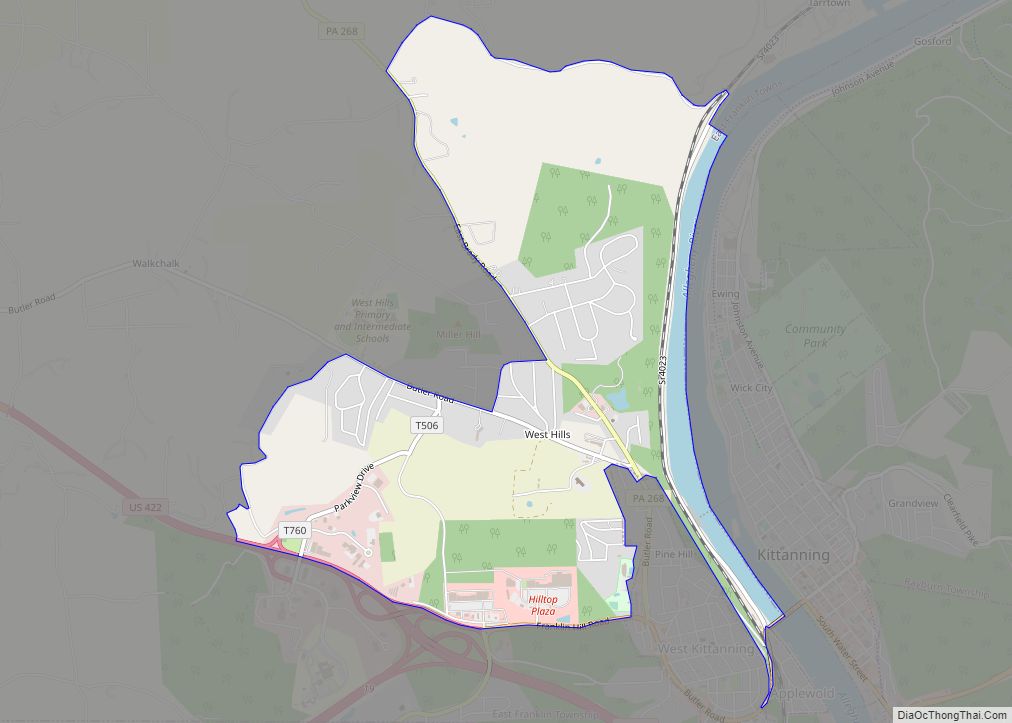
West Hills is a census-designated place (CDP) in Armstrong County, Pennsylvania, United States. The population was 1,263 at the 2010 census. West Hills CDP overview: Name: West Hills CDP LSAD Code: 57 LSAD Description: CDP (suffix) State: Pennsylvania County: Armstrong County Total Area: 3.5 sq mi (9 km²) Land Area: 3.3 sq mi (9 km²) Water Area: 0.2 sq mi (0.5 km²) Total Population: ... Read more
Pennsylvania Cities and Places
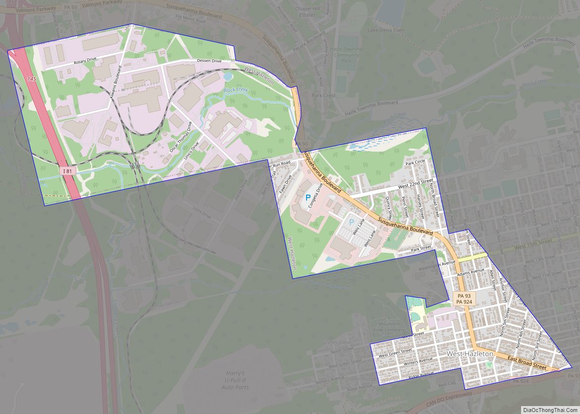
West Hazleton is a borough in Luzerne County, Pennsylvania, United States. The borough is 31 miles (50 km) south of Wilkes Barre and had a population of 5,167 as of the 2020 census. West Hazleton borough overview: Name: West Hazleton borough LSAD Code: 21 LSAD Description: borough (suffix) State: Pennsylvania County: Luzerne County Incorporated: 1887 Total ... Read more
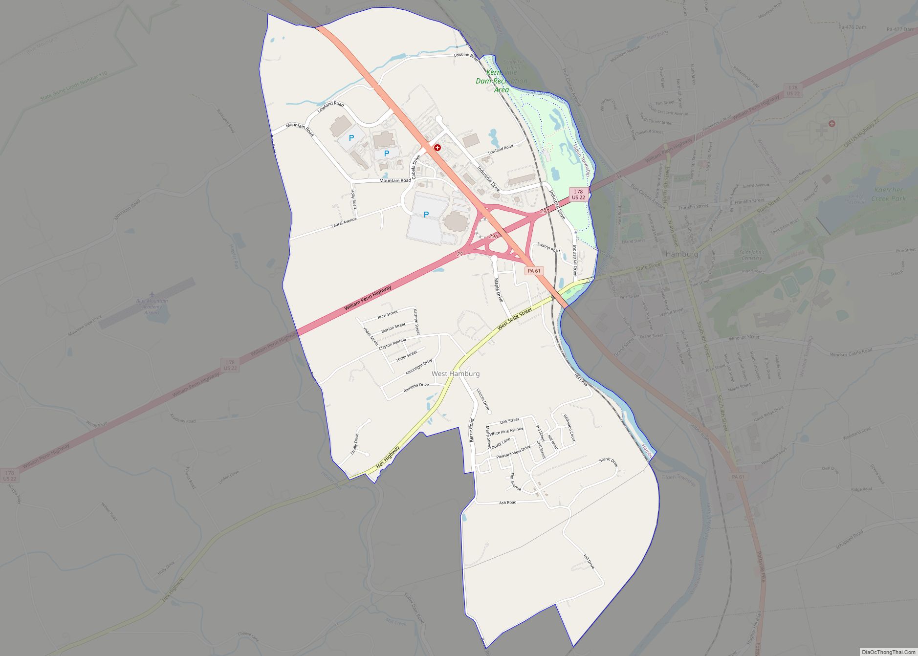
West Hamburg is a census-designated place in Tilden Township, Berks County, Pennsylvania, United States. It is located along Old US Route 22 and just west of Pennsylvania Route 61 near the borough of Hamburg. The area is best known for having the biggest Cabela’s store in the world. As of the 2010 census, the population ... Read more
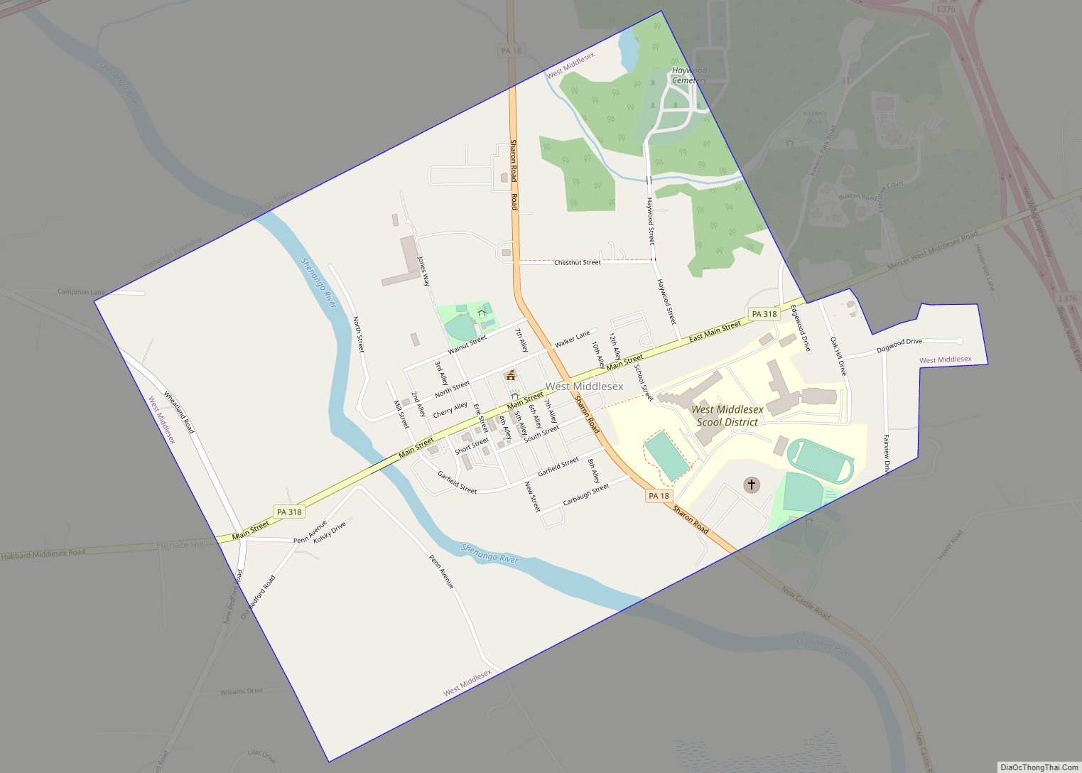
West Middlesex is a borough along the Shenango River in southwestern Mercer County, Pennsylvania, United States. The population was 815 at the 2020 Census. It is part of the Youngstown–Warren metropolitan area. West Middlesex borough overview: Name: West Middlesex borough LSAD Code: 21 LSAD Description: borough (suffix) State: Pennsylvania County: Mercer County Total Area: 0.84 sq mi ... Read more
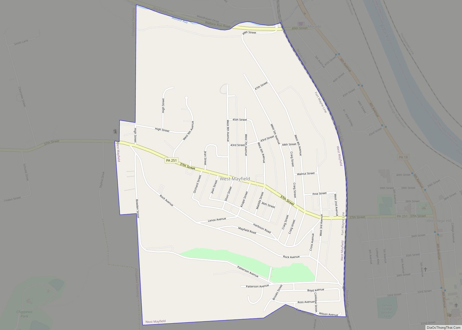
West Mayfield is a borough in northern Beaver County, Pennsylvania, United States. The population was 1,196 at the 2020 census. It is a part of the Pittsburgh metropolitan area. West Mayfield borough overview: Name: West Mayfield borough LSAD Code: 21 LSAD Description: borough (suffix) State: Pennsylvania County: Beaver County Incorporated: 1923 Elevation: 1,017 ft (310 m) Total ... Read more
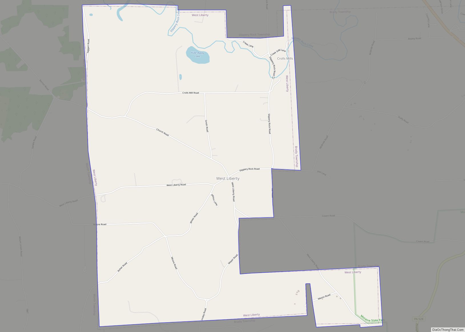
West Liberty is a borough in Butler County, Pennsylvania, United States. The population was 343 at the 2010 census. West Liberty borough overview: Name: West Liberty borough LSAD Code: 21 LSAD Description: borough (suffix) State: Pennsylvania County: Butler County Incorporated: 1903 Elevation: 1,210 ft (370 m) Total Area: 3.88 sq mi (10.04 km²) Land Area: 3.85 sq mi (9.97 km²) Water Area: 0.03 sq mi ... Read more
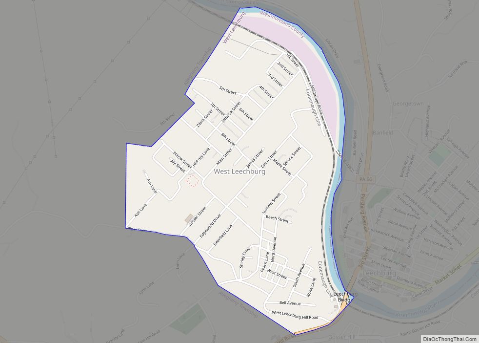
West Leechburg is a borough in Westmoreland County, Pennsylvania, United States, along the Kiskiminetas River. The population was 1,294 at the 2010 census. West Leechburg borough overview: Name: West Leechburg borough LSAD Code: 21 LSAD Description: borough (suffix) State: Pennsylvania County: Westmoreland County Elevation: 994 ft (303 m) Total Area: 1.00 sq mi (2.58 km²) Land Area: 0.95 sq mi (2.47 km²) Water ... Read more
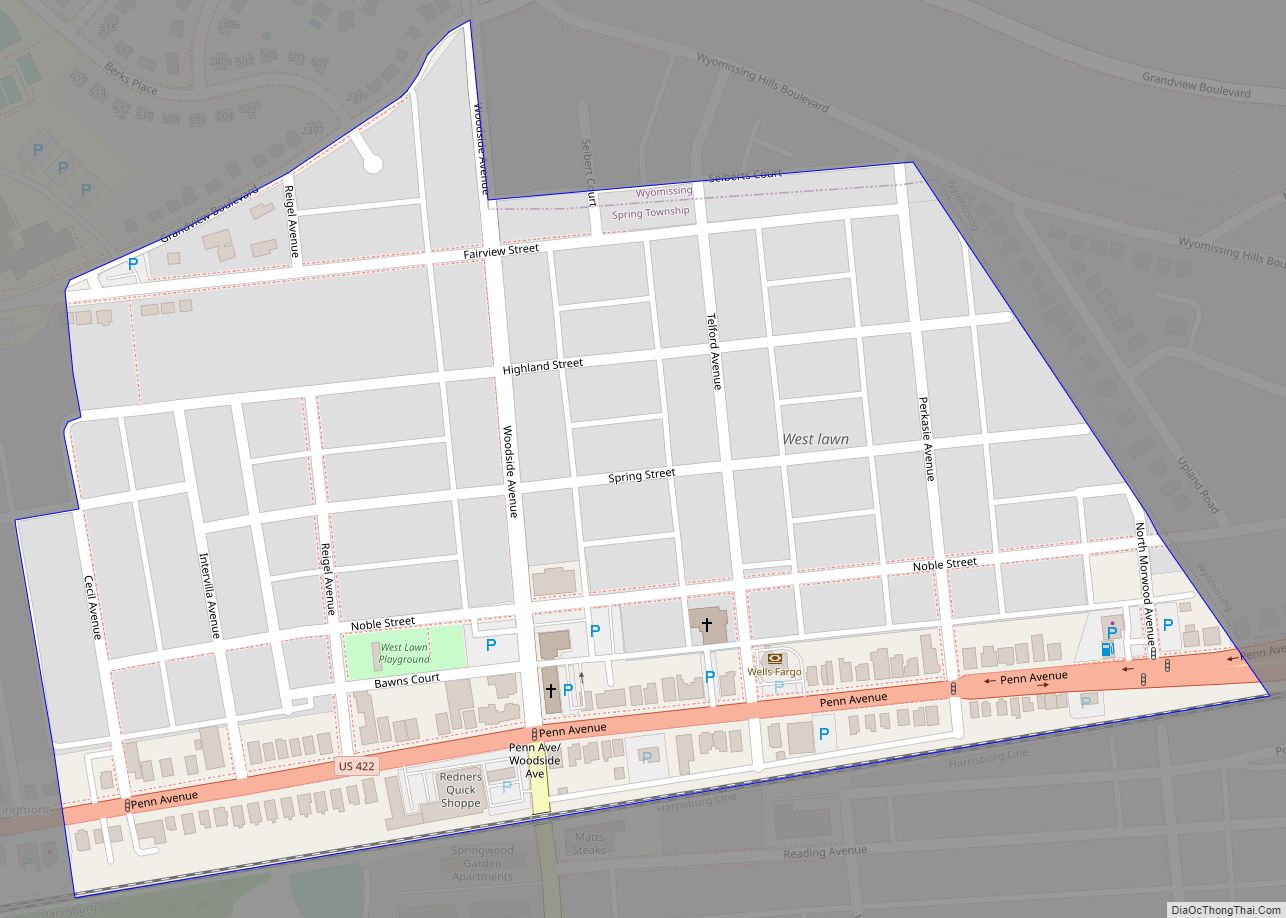
West Lawn is a former borough and current census-designated place in Berks County, Pennsylvania, United States. The population was 1,715 at the 2010 census. This borough was dissolved and became part of Spring Township on January 1, 2006. Voters in both municipalities approved the dissolution during a general election vote in November 2004. West Lawn ... Read more
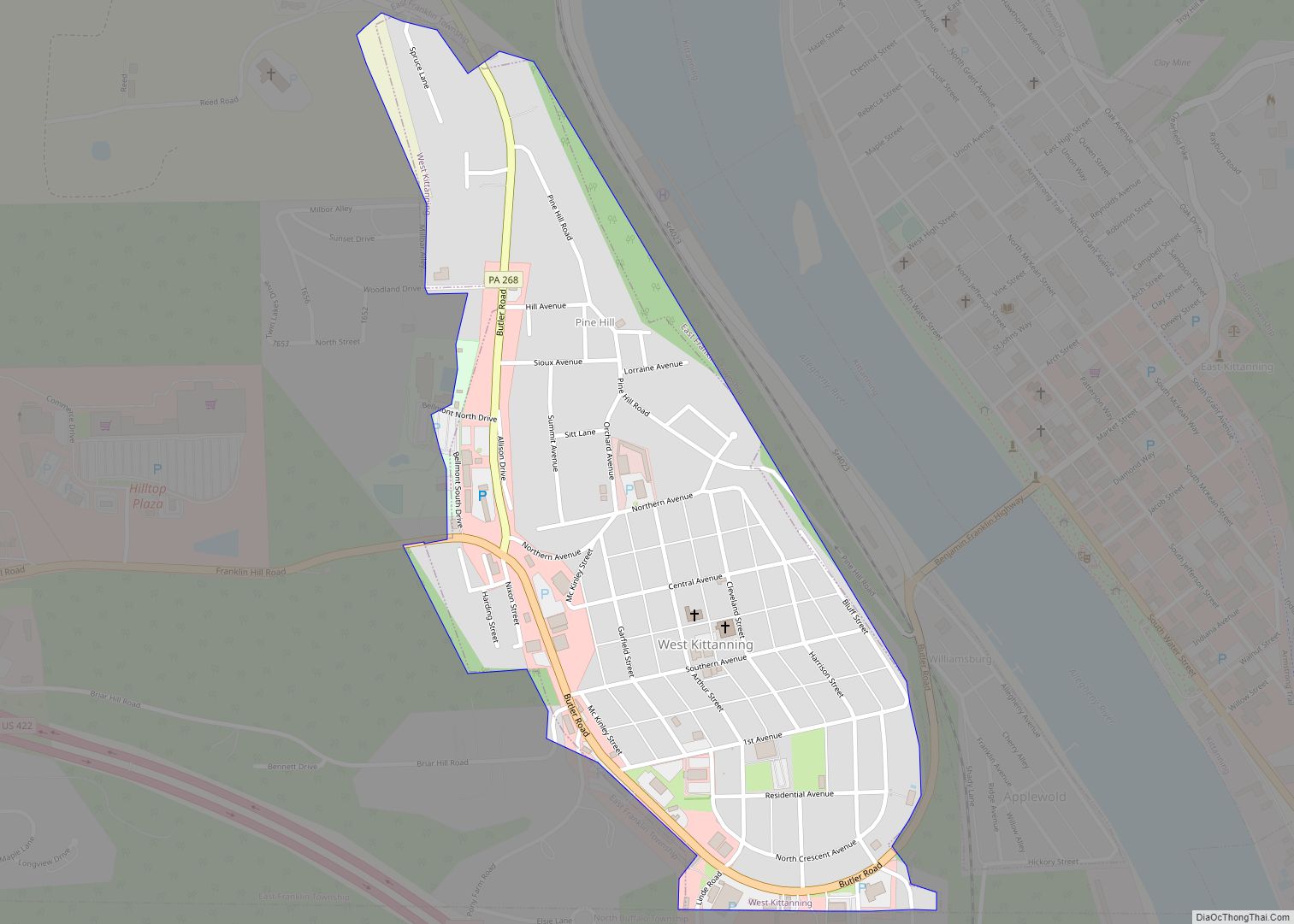
West Kittanning is a borough in Armstrong County, Pennsylvania, United States. The population was 1,192 at the 2020 census. West Kittanning borough overview: Name: West Kittanning borough LSAD Code: 21 LSAD Description: borough (suffix) State: Pennsylvania County: Armstrong County Incorporated: 1900 Elevation: 1,020 ft (310 m) Total Area: 0.43 sq mi (1.11 km²) Land Area: 0.43 sq mi (1.11 km²) Water Area: 0.00 sq mi ... Read more
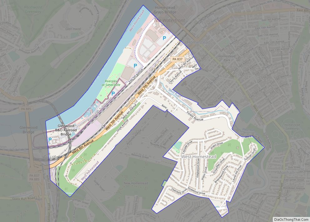
West Homestead is a borough in Allegheny County, Pennsylvania, United States, 8 miles (13 km) southeast of Pittsburgh, on the Monongahela River. Heavy industries associated with nearby steel mills existed here, such as axle works, brickworks, and manufactories of machinery, car wheels, etc. The largest concern was Mesta Machinery, which was one of the world’s leading ... Read more
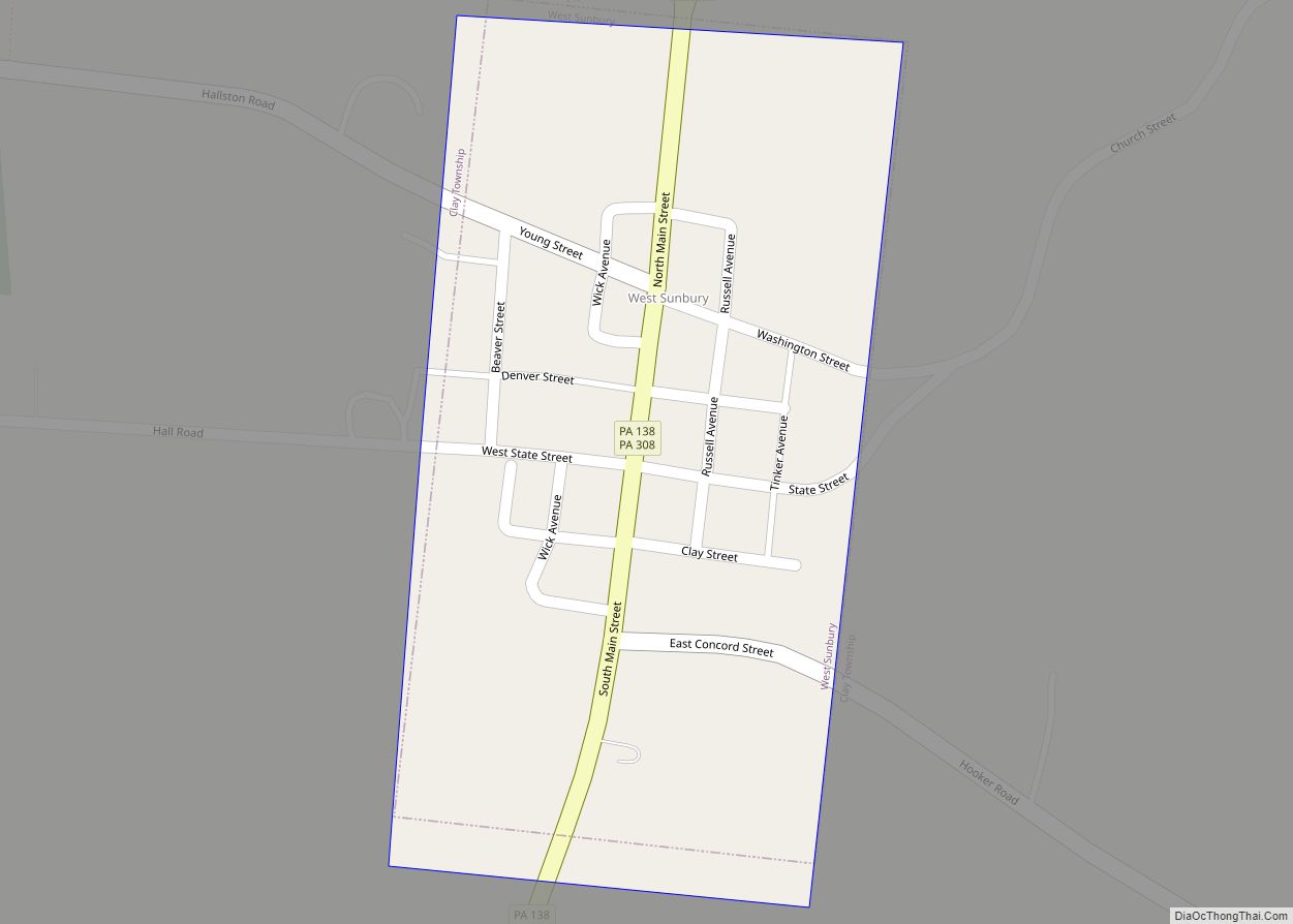
West Sunbury is a borough in Butler County, Pennsylvania, United States. The population was 192 at the 2010 census. West Sunbury borough overview: Name: West Sunbury borough LSAD Code: 21 LSAD Description: borough (suffix) State: Pennsylvania County: Butler County Incorporated: 1866 Total Area: 0.11 sq mi (0.29 km²) Land Area: 0.11 sq mi (0.29 km²) Water Area: 0.00 sq mi (0.00 km²) Total Population: ... Read more
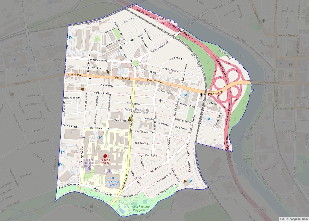
West Reading is a borough in Berks County, Pennsylvania, United States. The population was 4,212 at the 2010 census. It contains a vibrant main street (Penn Avenue) and the large Reading Hospital and Medical Center. It was also the site of the VF Outlet Village, one of the largest outlet malls in the United States. ... Read more
