West Hazleton is a borough in Luzerne County, Pennsylvania, United States. The borough is 31 miles (50 km) south of Wilkes Barre and had a population of 5,167 as of the 2020 census.
| Name: | West Hazleton borough |
|---|---|
| LSAD Code: | 21 |
| LSAD Description: | borough (suffix) |
| State: | Pennsylvania |
| County: | Luzerne County |
| Incorporated: | 1887 |
| Total Area: | 1.58 sq mi (4.09 km²) |
| Land Area: | 1.58 sq mi (4.09 km²) |
| Water Area: | 0.00 sq mi (0.00 km²) |
| Total Population: | 5,167 |
| Population Density: | 2,758.07/sq mi (1,064.97/km²) |
| Area code: | 570 |
| FIPS code: | 4283136 |
| Website: | www.westhazletonboro.org |
Online Interactive Map
Click on ![]() to view map in "full screen" mode.
to view map in "full screen" mode.
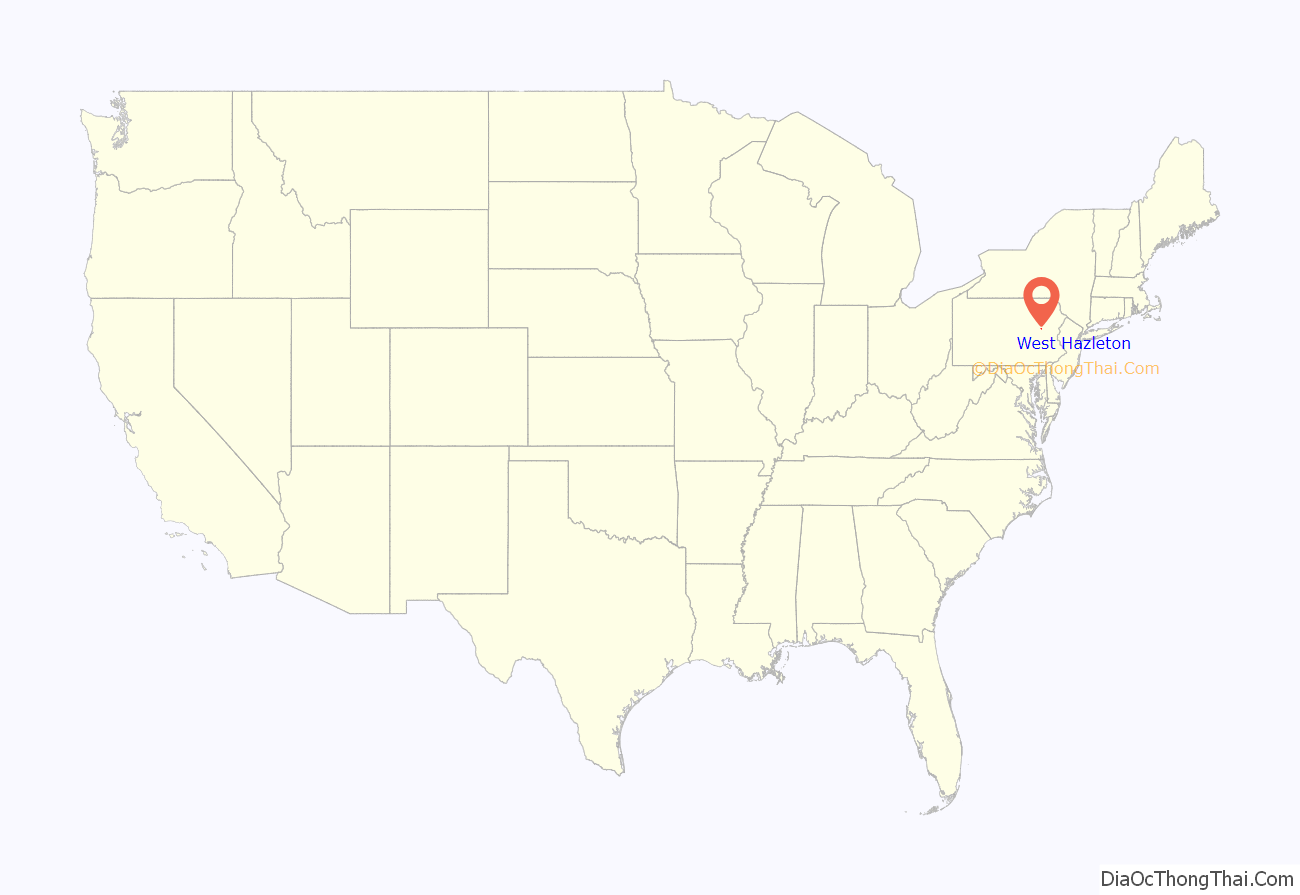
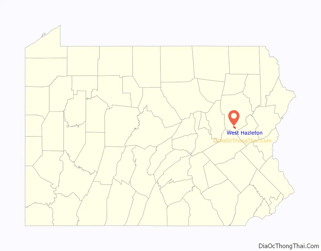
West Hazleton location map. Where is West Hazleton borough?
History
West Hazleton was founded by Conrad Horn, and it was officially established as a borough on March 12, 1887. West Hazleton gained prominence in the 19th and 20th centuries as an active anthracite coal mining community; it attracted thousands of European immigrants. The first burgess was J.W. McMurtrie; he served from 1888 to 1890. West Hazleton was once home to Hazle Park, a popular attraction in the area. The legendary Babe Ruth played at the nearby Cranberry Ballpark.
West Hazleton Road Map
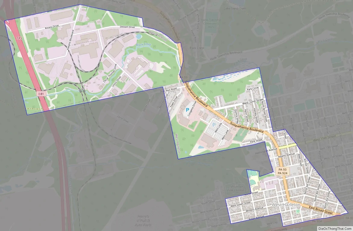
West Hazleton city Satellite Map

Geography
West Hazleton is located at 40°57′42″N 75°59′56″W / 40.96167°N 75.99889°W / 40.96167; -75.99889 (40.961651, -75.998915). According to the U.S. Census Bureau, the borough has a total area of 1.5 square miles (3.9 km), all land. West Hazleton is a small strip of land west of Hazleton City; it is mostly concentrated around PA Route 93. Interstate 81 runs through the northern section of the borough. West Hazleton is mostly residential; it also consists of two shopping centers, an industrial park, a movie theater, and a youth sports complex.
Education
West Hazleton is part of Hazleton Area School District. West Hazleton Elementary/Middle School is located within the borough.
See also
Map of Pennsylvania State and its subdivision:- Adams
- Allegheny
- Armstrong
- Beaver
- Bedford
- Berks
- Blair
- Bradford
- Bucks
- Butler
- Cambria
- Cameron
- Carbon
- Centre
- Chester
- Clarion
- Clearfield
- Clinton
- Columbia
- Crawford
- Cumberland
- Dauphin
- Delaware
- Elk
- Erie
- Fayette
- Forest
- Franklin
- Fulton
- Greene
- Huntingdon
- Indiana
- Jefferson
- Juniata
- Lackawanna
- Lancaster
- Lawrence
- Lebanon
- Lehigh
- Luzerne
- Lycoming
- Mc Kean
- Mercer
- Mifflin
- Monroe
- Montgomery
- Montour
- Northampton
- Northumberland
- Perry
- Philadelphia
- Pike
- Potter
- Schuylkill
- Snyder
- Somerset
- Sullivan
- Susquehanna
- Tioga
- Union
- Venango
- Warren
- Washington
- Wayne
- Westmoreland
- Wyoming
- York
- Alabama
- Alaska
- Arizona
- Arkansas
- California
- Colorado
- Connecticut
- Delaware
- District of Columbia
- Florida
- Georgia
- Hawaii
- Idaho
- Illinois
- Indiana
- Iowa
- Kansas
- Kentucky
- Louisiana
- Maine
- Maryland
- Massachusetts
- Michigan
- Minnesota
- Mississippi
- Missouri
- Montana
- Nebraska
- Nevada
- New Hampshire
- New Jersey
- New Mexico
- New York
- North Carolina
- North Dakota
- Ohio
- Oklahoma
- Oregon
- Pennsylvania
- Rhode Island
- South Carolina
- South Dakota
- Tennessee
- Texas
- Utah
- Vermont
- Virginia
- Washington
- West Virginia
- Wisconsin
- Wyoming


