Elim is an unincorporated community and census-designated place (CDP) in Upper Yoder Township, Cambria County, Pennsylvania, United States. The population was 3,727 at the 2010 census, down from 4,175 at the 2000 census. Elim CDP overview: Name: Elim CDP LSAD Code: 57 LSAD Description: CDP (suffix) State: Pennsylvania County: Cambria County Elevation: 1,657 ft (505 m) Total ... Read more
Pennsylvania Cities and Places
Elgin is a borough in Erie County, Pennsylvania, United States. The population was 204 at the 2020 census. It is part of the Erie Metropolitan Statistical Area. Places of recreation include Elgin Community Park. Elgin is home to the oldest borough building in Erie County. The community most likely was named after Elgin, Scotland. Elgin ... Read more
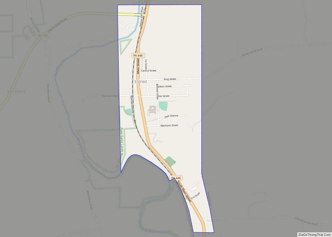
Eldred is a borough in McKean County, Pennsylvania, United States. The population was 760 at the 2020 census. Eldred borough overview: Name: Eldred borough LSAD Code: 21 LSAD Description: borough (suffix) State: Pennsylvania County: McKean County Incorporated: 1880 Total Area: 0.91 sq mi (2.35 km²) Land Area: 0.88 sq mi (2.27 km²) Water Area: 0.03 sq mi (0.08 km²) Total Population: 765 Population Density: ... Read more
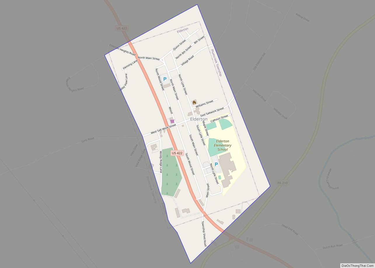
Elderton is a borough in Armstrong County, Pennsylvania, United States. The population was 334 at the 2020 census. Elderton borough overview: Name: Elderton borough LSAD Code: 21 LSAD Description: borough (suffix) State: Pennsylvania County: Armstrong County Incorporated: 1859 Elevation: 1,264 ft (385 m) Total Area: 0.32 sq mi (0.84 km²) Land Area: 0.32 sq mi (0.84 km²) Water Area: 0.00 sq mi (0.00 km²) Total Population: ... Read more
Elco borough overview: Name: Elco borough LSAD Code: 21 LSAD Description: borough (suffix) State: Pennsylvania County: Washington County FIPS code: 4222800 Online Interactive Map Elco online map. Source: Basemap layers from Google Map, Open Street Map (OSM), Arcgisonline, Wmflabs. Boundary Data from Database of Global Administrative Areas. Elco location map. Where is Elco borough? Elco ... Read more
Eighty Four is a census-designated place in Somerset, Nottingham, North Strabane, and South Strabane townships in Washington County, Pennsylvania, United States. It lies approximately 25 miles (40 km) southwest of Pittsburgh and is in the Pittsburgh metropolitan area. The population was 657 at the 2010 census. Eighty Four contains the 84 Lumber company’s headquarters. Eighty Four ... Read more
Ehrenfeld is a borough in Cambria County, Pennsylvania, United States. It is part of the Johnstown, Pennsylvania Metropolitan Statistical Area. The population was 228 at the 2010 census. Ehrenfeld borough overview: Name: Ehrenfeld borough LSAD Code: 21 LSAD Description: borough (suffix) State: Pennsylvania County: Cambria County Incorporated: 1956 Elevation: 1,683 ft (513 m) Total Area: 0.45 sq mi (1.15 km²) ... Read more
Egypt (Pennsylvania German: Iegypden) is an unincorporated community and census-designated place (CDP) in Whitehall Township in Lehigh County, Pennsylvania, United States. The population of Egypt was 2,588 as of the 2020 census. Egypt is located about 7 miles (11 km) north of Allentown and is part of the Lehigh Valley metropolitan area, which had a population ... Read more
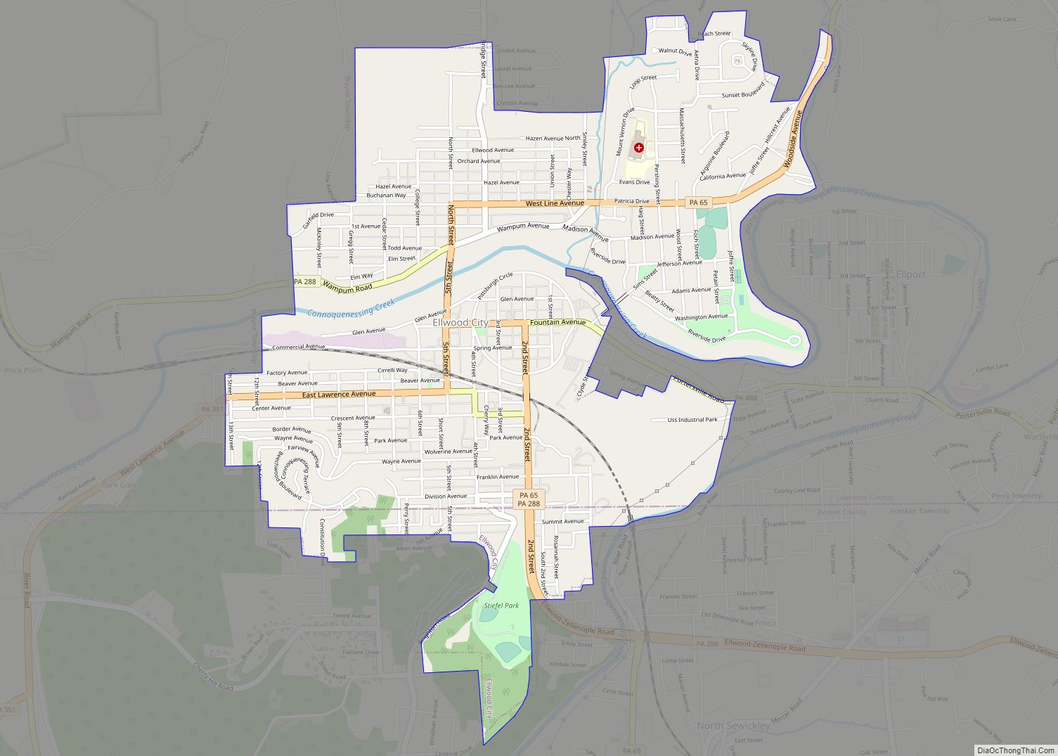
Ellwood City is a borough primarily in Lawrence County, Pennsylvania, United States, with a small district in Beaver County. The population was 7,642 at the 2020 census. Ellwood City lies 30 miles (48 km) northwest of Pittsburgh and 8 miles (13 km) southeast of New Castle within the New Castle micropolitan area. Ellwood City borough overview: Name: ... Read more
Ellsworth is a borough in Washington County, Pennsylvania, United States. The population was 947 at the 2020 census. The coal town was founded by James Ellsworth, who bought the land in 1890s, developed the Monongahela Railway, and sold the mines to Bethlehem Steel in the 1920s. Ellsworth borough overview: Name: Ellsworth borough LSAD Code: 21 ... Read more
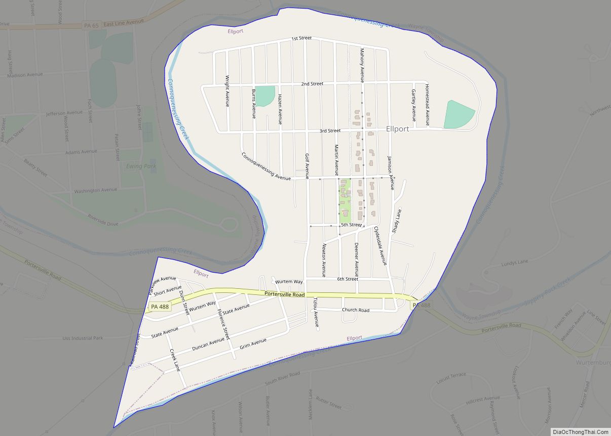
Ellport is a borough in Lawrence County, Pennsylvania, United States. The population was 1,081 at the 2020 census. It is part of the New Castle micropolitan area. The name is a portmanteau of Ellwood City and Portersville, the boroughs that lie to its west and east. Ellport borough overview: Name: Ellport borough LSAD Code: 21 ... Read more
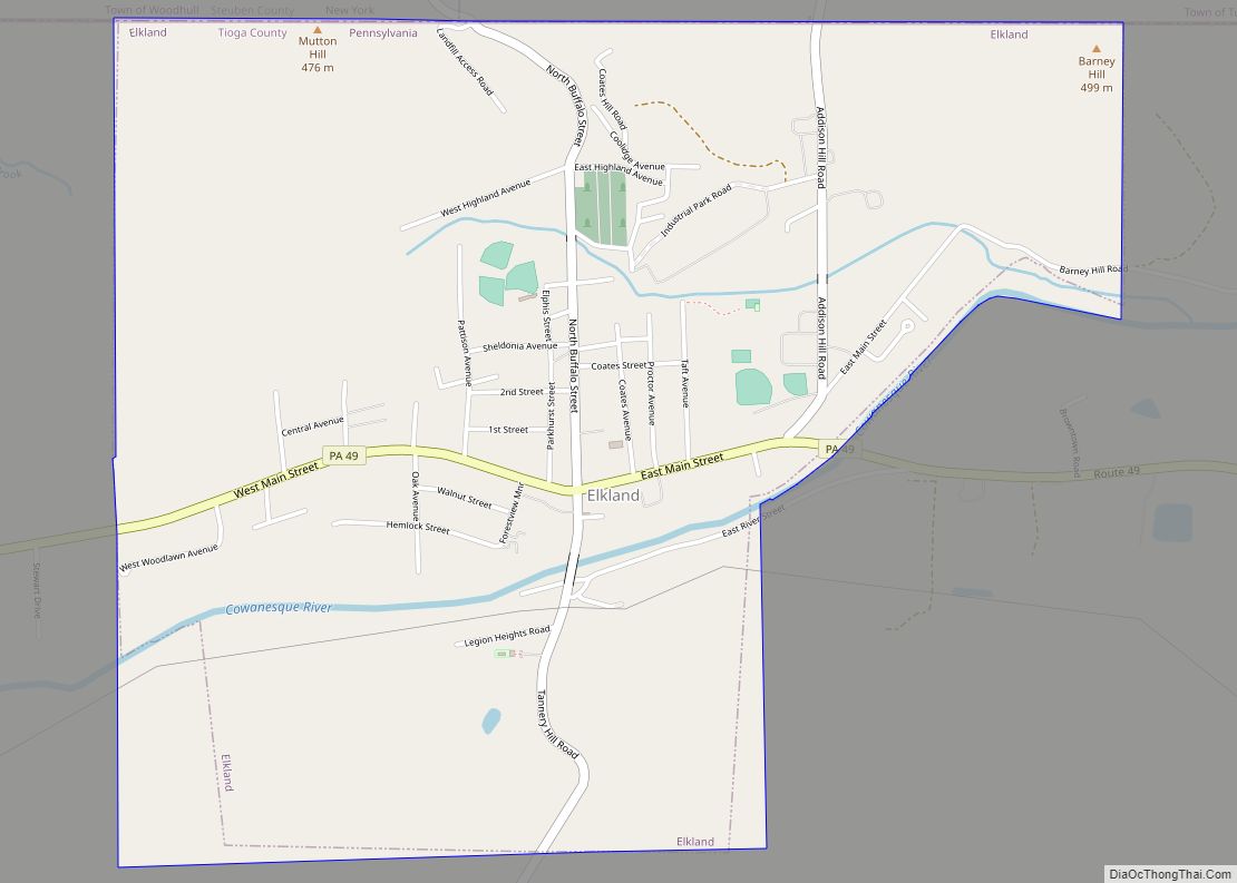
Elkland is a borough in Tioga County, Pennsylvania, United States. The population was 1,827 at the 2020 census. Elkland borough overview: Name: Elkland borough LSAD Code: 21 LSAD Description: borough (suffix) State: Pennsylvania County: Tioga County Elevation: 1,132 ft (345 m) Total Area: 2.61 sq mi (6.77 km²) Land Area: 2.61 sq mi (6.77 km²) Water Area: 0.00 sq mi (0.00 km²) Total Population: 1,827 Population ... Read more


