Elim is an unincorporated community and census-designated place (CDP) in Upper Yoder Township, Cambria County, Pennsylvania, United States. The population was 3,727 at the 2010 census, down from 4,175 at the 2000 census.
| Name: | Elim CDP |
|---|---|
| LSAD Code: | 57 |
| LSAD Description: | CDP (suffix) |
| State: | Pennsylvania |
| County: | Cambria County |
| Elevation: | 1,657 ft (505 m) |
| Total Area: | 2.02 sq mi (5.25 km²) |
| Land Area: | 1.99 sq mi (5.16 km²) |
| Water Area: | 0.03 sq mi (0.08 km²) |
| Total Population: | 3,364 |
| Population Density: | 1,687.06/sq mi (651.38/km²) |
| ZIP code: | 15905 |
| Area code: | 814 |
| FIPS code: | 4222976 |
| GNISfeature ID: | 1867488 |
Online Interactive Map
Click on ![]() to view map in "full screen" mode.
to view map in "full screen" mode.
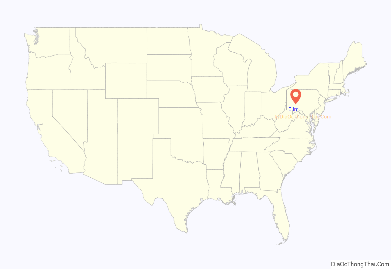
Elim location map. Where is Elim CDP?
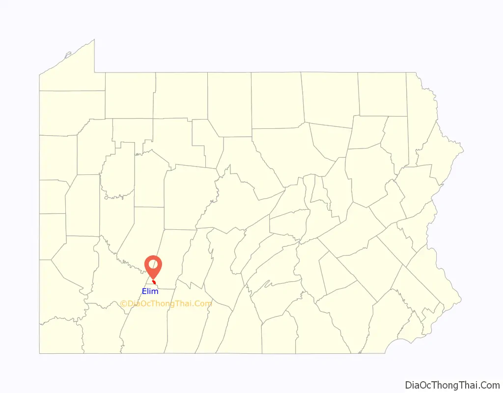
Elim Road Map

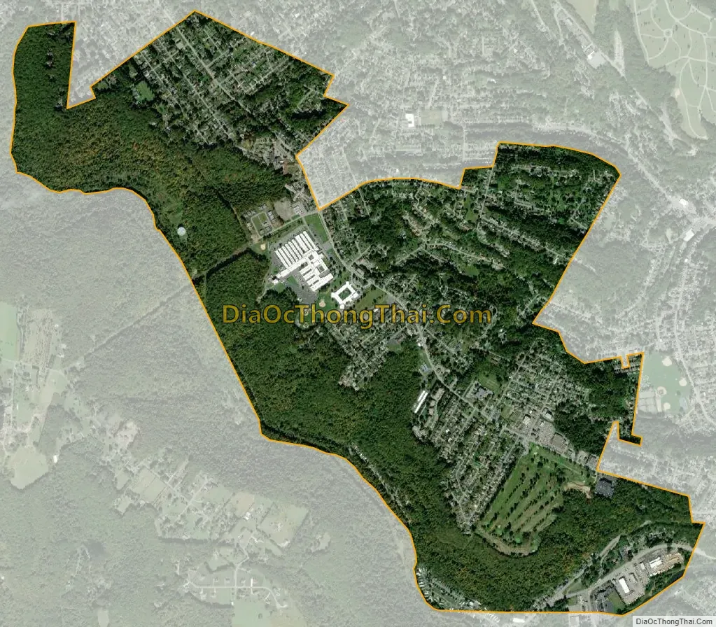
Elim city Satellite Map
Geography
Elim is located in southwestern Cambria County at 40°17′57″N 78°56′24″W / 40.29917°N 78.94000°W / 40.29917; -78.94000 (40.299124, -78.939873), in the eastern part of Upper Yoder Township. It is bordered by Westmont and Southmont to the north and by Ferndale and the city of Johnstown to the east. Elim is situated on heights rising more than 500 feet (150 m) above the valley of the Stonycreek River.
According to the United States Census Bureau, the Elim CDP has a total area of 2.02 square miles (5.24 km), of which 1.99 square miles (5.16 km) is land and 0.03 square miles (0.08 km), or 1.55%, is water.
Residents
2017 resunion
See also
Map of Pennsylvania State and its subdivision:- Adams
- Allegheny
- Armstrong
- Beaver
- Bedford
- Berks
- Blair
- Bradford
- Bucks
- Butler
- Cambria
- Cameron
- Carbon
- Centre
- Chester
- Clarion
- Clearfield
- Clinton
- Columbia
- Crawford
- Cumberland
- Dauphin
- Delaware
- Elk
- Erie
- Fayette
- Forest
- Franklin
- Fulton
- Greene
- Huntingdon
- Indiana
- Jefferson
- Juniata
- Lackawanna
- Lancaster
- Lawrence
- Lebanon
- Lehigh
- Luzerne
- Lycoming
- Mc Kean
- Mercer
- Mifflin
- Monroe
- Montgomery
- Montour
- Northampton
- Northumberland
- Perry
- Philadelphia
- Pike
- Potter
- Schuylkill
- Snyder
- Somerset
- Sullivan
- Susquehanna
- Tioga
- Union
- Venango
- Warren
- Washington
- Wayne
- Westmoreland
- Wyoming
- York
- Alabama
- Alaska
- Arizona
- Arkansas
- California
- Colorado
- Connecticut
- Delaware
- District of Columbia
- Florida
- Georgia
- Hawaii
- Idaho
- Illinois
- Indiana
- Iowa
- Kansas
- Kentucky
- Louisiana
- Maine
- Maryland
- Massachusetts
- Michigan
- Minnesota
- Mississippi
- Missouri
- Montana
- Nebraska
- Nevada
- New Hampshire
- New Jersey
- New Mexico
- New York
- North Carolina
- North Dakota
- Ohio
- Oklahoma
- Oregon
- Pennsylvania
- Rhode Island
- South Carolina
- South Dakota
- Tennessee
- Texas
- Utah
- Vermont
- Virginia
- Washington
- West Virginia
- Wisconsin
- Wyoming


