Elverson is a borough in Chester County, Pennsylvania, United States. The population was 1,332 at the 2020 census.
Settled near the region’s early iron mines, Elverson is close to Hopewell Furnace National Historic Site, an example of a 19th-century “iron plantation”.
| Name: | Elverson borough |
|---|---|
| LSAD Code: | 21 |
| LSAD Description: | borough (suffix) |
| State: | Pennsylvania |
| County: | Chester County |
| Incorporated: | April 17, 1911 |
| Elevation: | 669 ft (204 m) |
| Total Area: | 1.00 sq mi (2.60 km²) |
| Land Area: | 1.00 sq mi (2.58 km²) |
| Water Area: | 0.01 sq mi (0.02 km²) |
| Total Population: | 1,330 |
| Population Density: | 1,334.00/sq mi (514.83/km²) |
| ZIP code: | 19520 |
| FIPS code: | 4223440 |
| Website: | www.elversonboro.org |
Online Interactive Map
Click on ![]() to view map in "full screen" mode.
to view map in "full screen" mode.
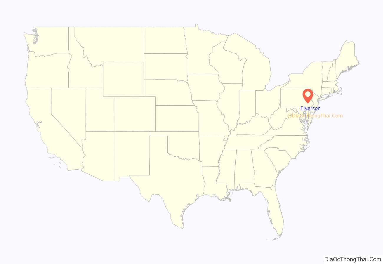
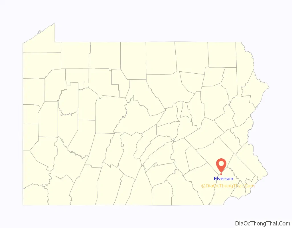
Elverson location map. Where is Elverson borough?
History
Elverson’s earliest European settlers arrived in the late 18th century when the area was known as Springfield. Later dubbed Blue Rock after a deposit of peculiar rocks not far from the town, it remained largely rural until the arrival of the Wilmington and Northern Railroad in 1870. By 1883, the town’s population had more than doubled. In 1899, the settlement was named Elverson after James Elverson, owner of The Philadelphia Inquirer, who would later donate a stained glass window to a church there. The Borough of Elverson was officially incorporated on April 17, 1911, from land annexed from West Nantmeal Township, and it remained the commercial center of northwestern Chester County through the first half of the 20th century. In 1953 the borough annexed additional land, resulting in its current size of about one square mile.
Elverson’s building styles follow the periods of its commercial growth and range from early 19th century stone or log buildings to post-railroad Queen Anne structures and 20th century craftsman and Foursquare-style houses. Commercial and residential development since the 1950s has occurred largely on the outskirts of the borough’s historic center. The Wilmington and Northern Railroad line, later incorporated into the Reading Railroad system, was abandoned and removed in 1983.
The Elverson Historic District was listed on the National Register of Historic Places in 1993.
Elverson Road Map
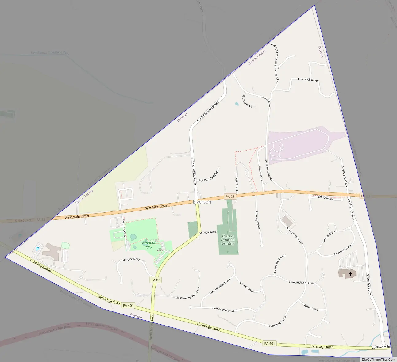
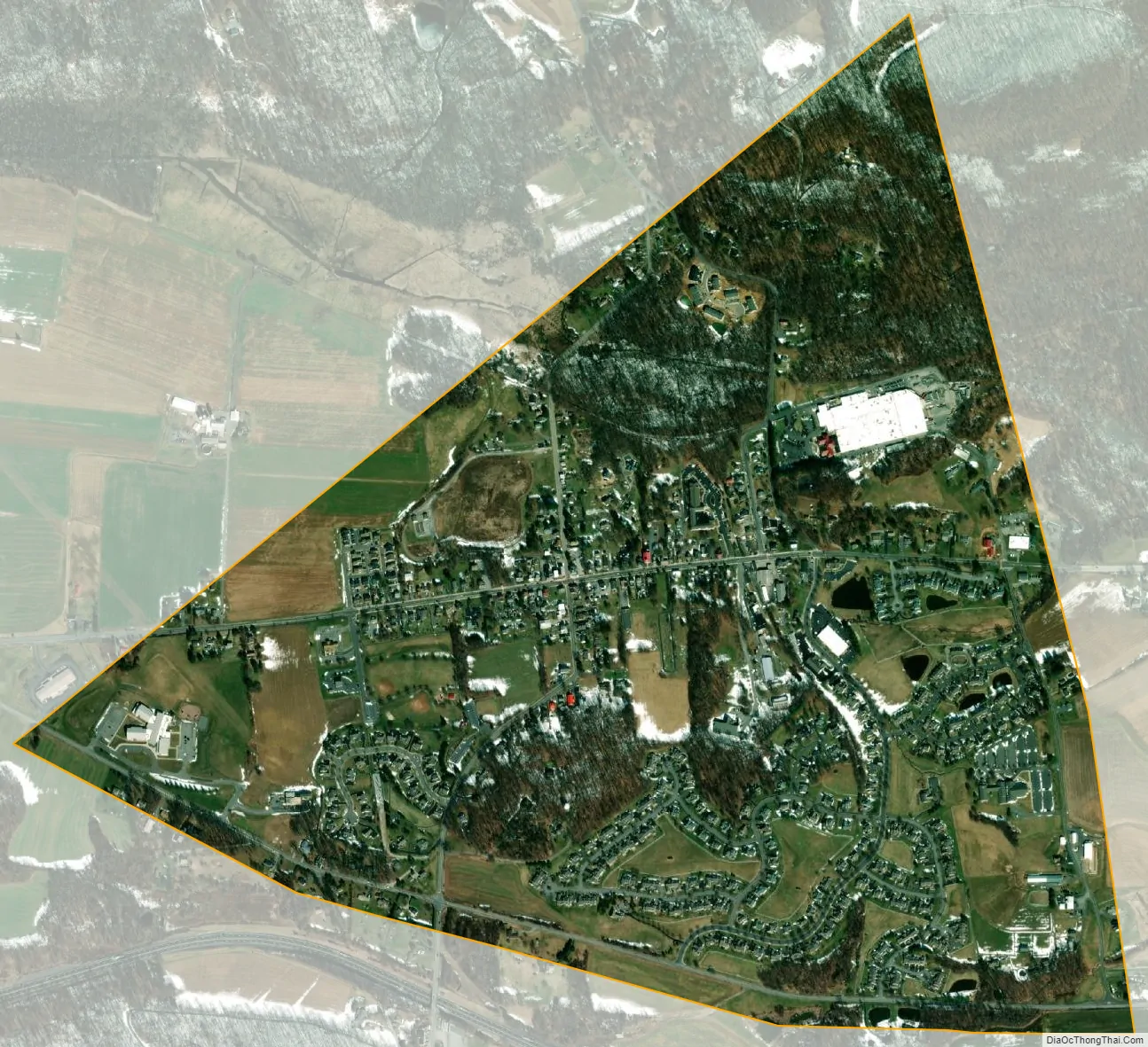
Elverson city Satellite Map
Geography
According to the United States Census Bureau, the borough has a total area of 1.0 square mile (2.6 km), all land. Elverson borders the Hopewell Big Woods. The city of Reading is approximately 18 miles (29 km) north of the borough.
Adjacent municipalities
- Caernarvon Township, Berks County – north
- West Nantmeal Township, Chester County – east, south, and west
See also
Map of Pennsylvania State and its subdivision:- Adams
- Allegheny
- Armstrong
- Beaver
- Bedford
- Berks
- Blair
- Bradford
- Bucks
- Butler
- Cambria
- Cameron
- Carbon
- Centre
- Chester
- Clarion
- Clearfield
- Clinton
- Columbia
- Crawford
- Cumberland
- Dauphin
- Delaware
- Elk
- Erie
- Fayette
- Forest
- Franklin
- Fulton
- Greene
- Huntingdon
- Indiana
- Jefferson
- Juniata
- Lackawanna
- Lancaster
- Lawrence
- Lebanon
- Lehigh
- Luzerne
- Lycoming
- Mc Kean
- Mercer
- Mifflin
- Monroe
- Montgomery
- Montour
- Northampton
- Northumberland
- Perry
- Philadelphia
- Pike
- Potter
- Schuylkill
- Snyder
- Somerset
- Sullivan
- Susquehanna
- Tioga
- Union
- Venango
- Warren
- Washington
- Wayne
- Westmoreland
- Wyoming
- York
- Alabama
- Alaska
- Arizona
- Arkansas
- California
- Colorado
- Connecticut
- Delaware
- District of Columbia
- Florida
- Georgia
- Hawaii
- Idaho
- Illinois
- Indiana
- Iowa
- Kansas
- Kentucky
- Louisiana
- Maine
- Maryland
- Massachusetts
- Michigan
- Minnesota
- Mississippi
- Missouri
- Montana
- Nebraska
- Nevada
- New Hampshire
- New Jersey
- New Mexico
- New York
- North Carolina
- North Dakota
- Ohio
- Oklahoma
- Oregon
- Pennsylvania
- Rhode Island
- South Carolina
- South Dakota
- Tennessee
- Texas
- Utah
- Vermont
- Virginia
- Washington
- West Virginia
- Wisconsin
- Wyoming