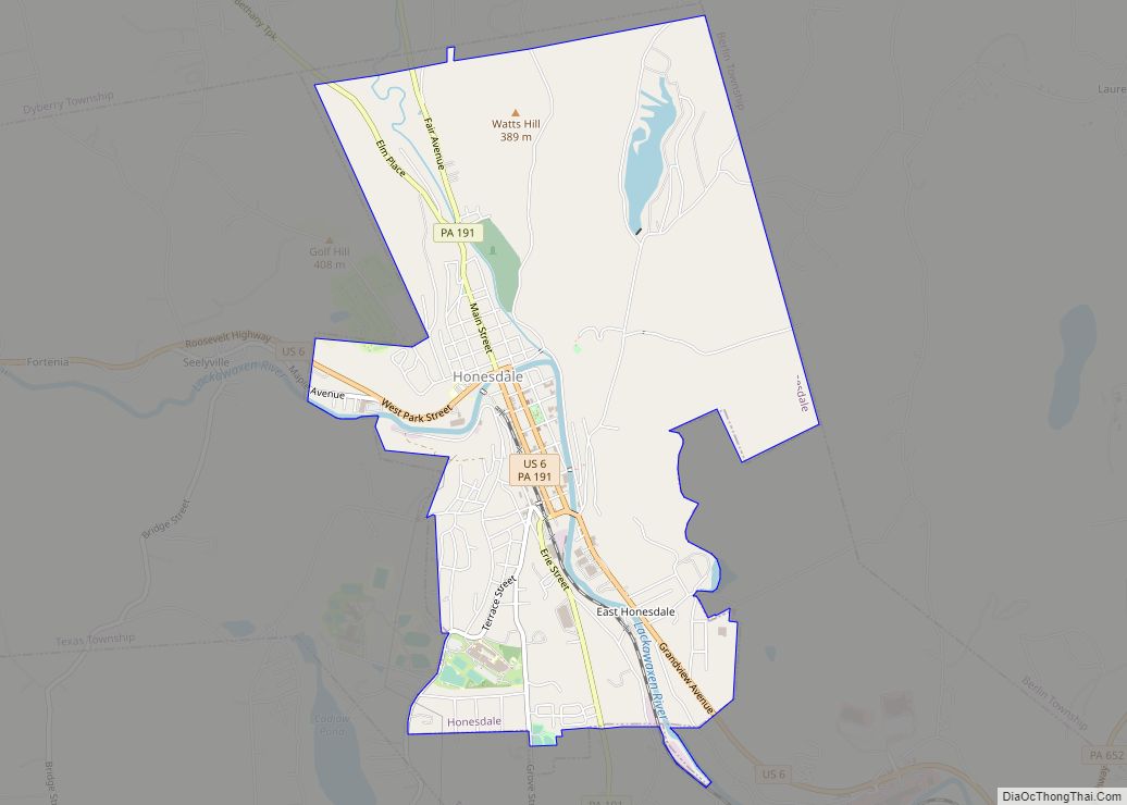
Honesdale is a borough in and the county seat of Wayne County, Pennsylvania, United States. The borough’s population was 4,458 at the time of the 2020 census. Honesdale is located 32 miles (51 km) northeast of Scranton in a rural area that provides many recreational opportunities, such as boating, fishing, hiking, hunting, skiing, biking, skateboarding, and ... Read more
Pennsylvania Cities and Places
Homewood is a borough which is located in northern Beaver County, Pennsylvania, United States. The population was 104 at the time of the 2020 census. It is a part of the Pittsburgh metropolitan area. Homewood borough overview: Name: Homewood borough LSAD Code: 21 LSAD Description: borough (suffix) State: Pennsylvania County: Beaver County Incorporated: 1910 Elevation: ... Read more
Horsham is a home rule municipality in Montgomery County, Pennsylvania, United States. The population was 15,193 at the 2020 census. Horsham is located entirely within Horsham Township, and it is home to the Horsham Air Guard Station at the former site of Naval Air Station Joint Reserve Base Willow Grove. Horsham is located 34 miles ... Read more
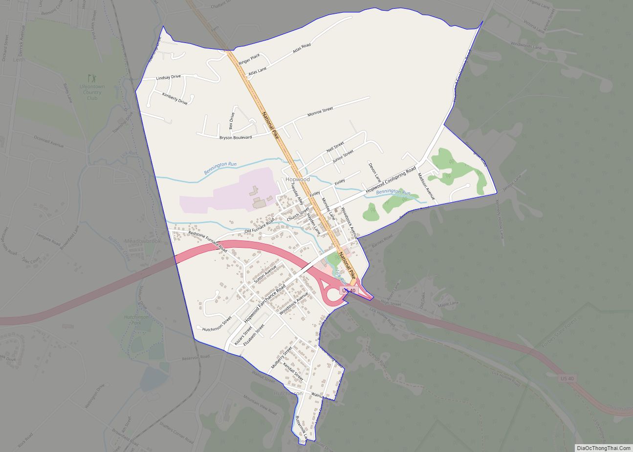
Hopwood is a census-designated place (CDP) in Fayette County, Pennsylvania, United States. The population was 2,090 at the 2010 census, up from 2,006 at the 2000 census. It is located in North Union and South Union townships. The village was named after John Hopwood. Hopwood CDP overview: Name: Hopwood CDP LSAD Code: 57 LSAD Description: ... Read more
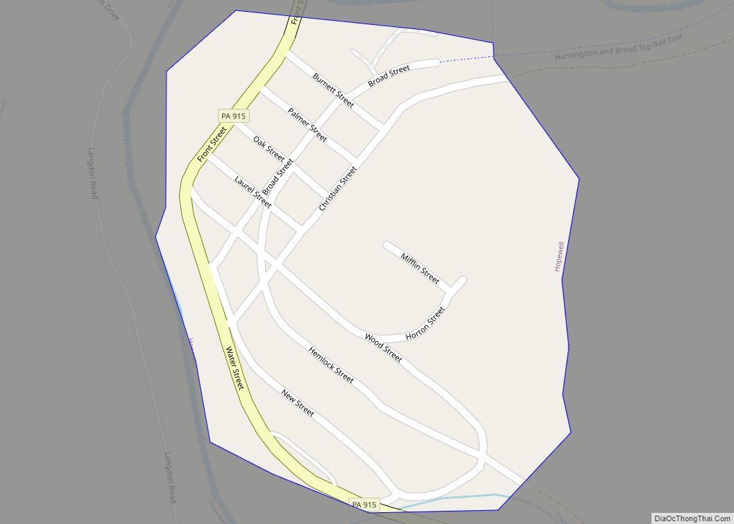
Hopewell is a borough in Bedford County, Pennsylvania, United States. The population was 188 at the 2020 census. Hopewell borough overview: Name: Hopewell borough LSAD Code: 21 LSAD Description: borough (suffix) State: Pennsylvania County: Bedford County Incorporated: 1895 Total Area: 0.12 sq mi (0.30 km²) Land Area: 0.11 sq mi (0.29 km²) Water Area: 0.00 sq mi (0.01 km²) Total Population: 189 Population Density: ... Read more
Hopeland is a small unincorporated hamlet and census-designated place (CDP) in Lancaster County in the south of the U.S. state of Pennsylvania. The hamlet’s ZIP code is 17533. As of the 2010 census the population was 738. The community is in northern Lancaster County, in western Clay Township. A small portion extends south into Elizabeth ... Read more
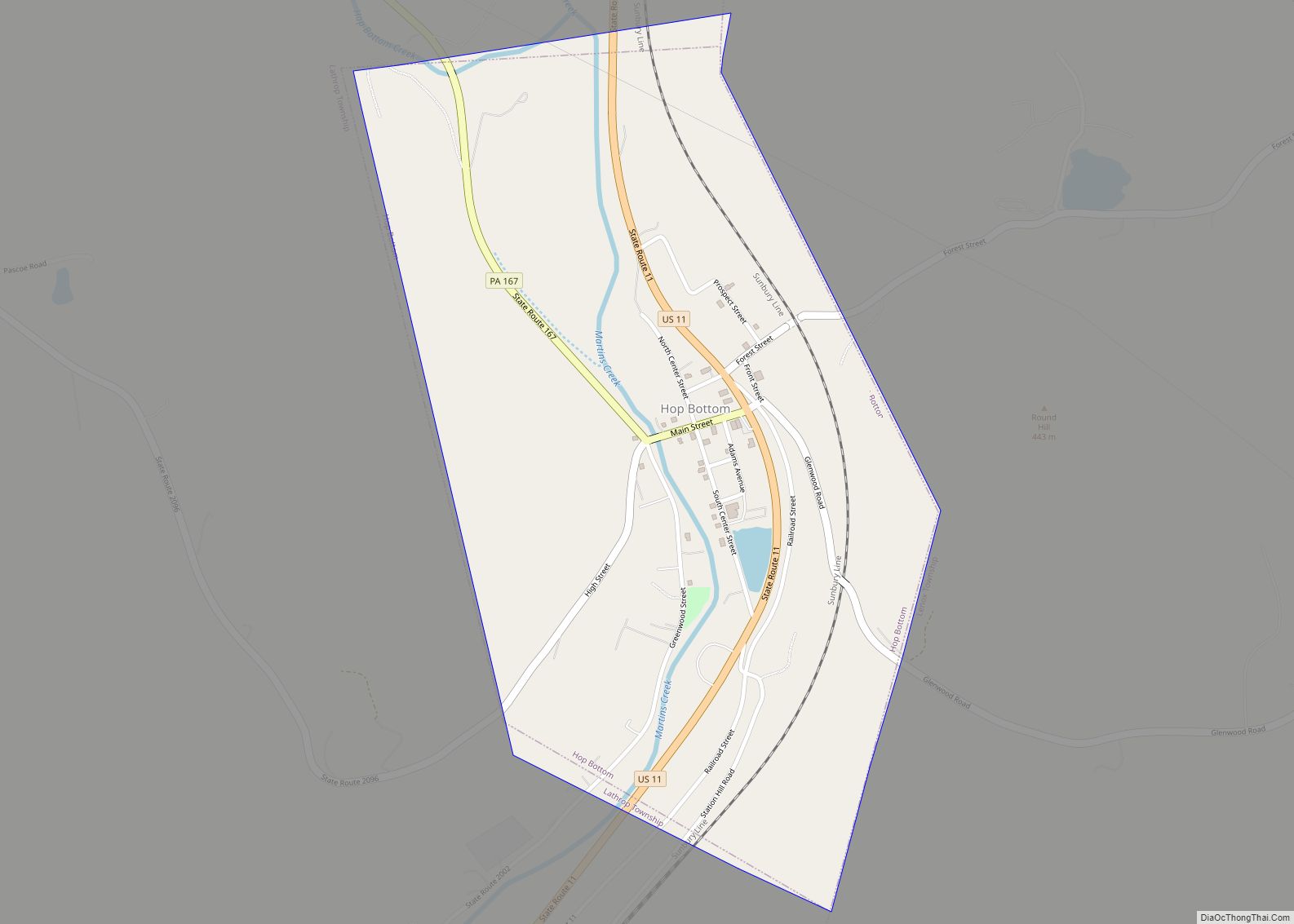
Hop Bottom borough overview: Name: Hop Bottom borough LSAD Code: 21 LSAD Description: borough (suffix) State: Pennsylvania County: Susquehanna County FIPS code: 4235624 Online Interactive Map Hop Bottom online map. Source: Basemap layers from Google Map, Open Street Map (OSM), Arcgisonline, Wmflabs. Boundary Data from Database of Global Administrative Areas. Hop Bottom location map. Where ... Read more
Hooversville is a borough in Somerset County, Pennsylvania, United States. It is part of the Johnstown, Pennsylvania, Metropolitan Statistical Area. The population was 626 at the 2020 census. Hooversville borough overview: Name: Hooversville borough LSAD Code: 21 LSAD Description: borough (suffix) State: Pennsylvania County: Somerset County Incorporated: 1896 Total Area: 0.61 sq mi (1.58 km²) Land Area: 0.61 sq mi ... Read more
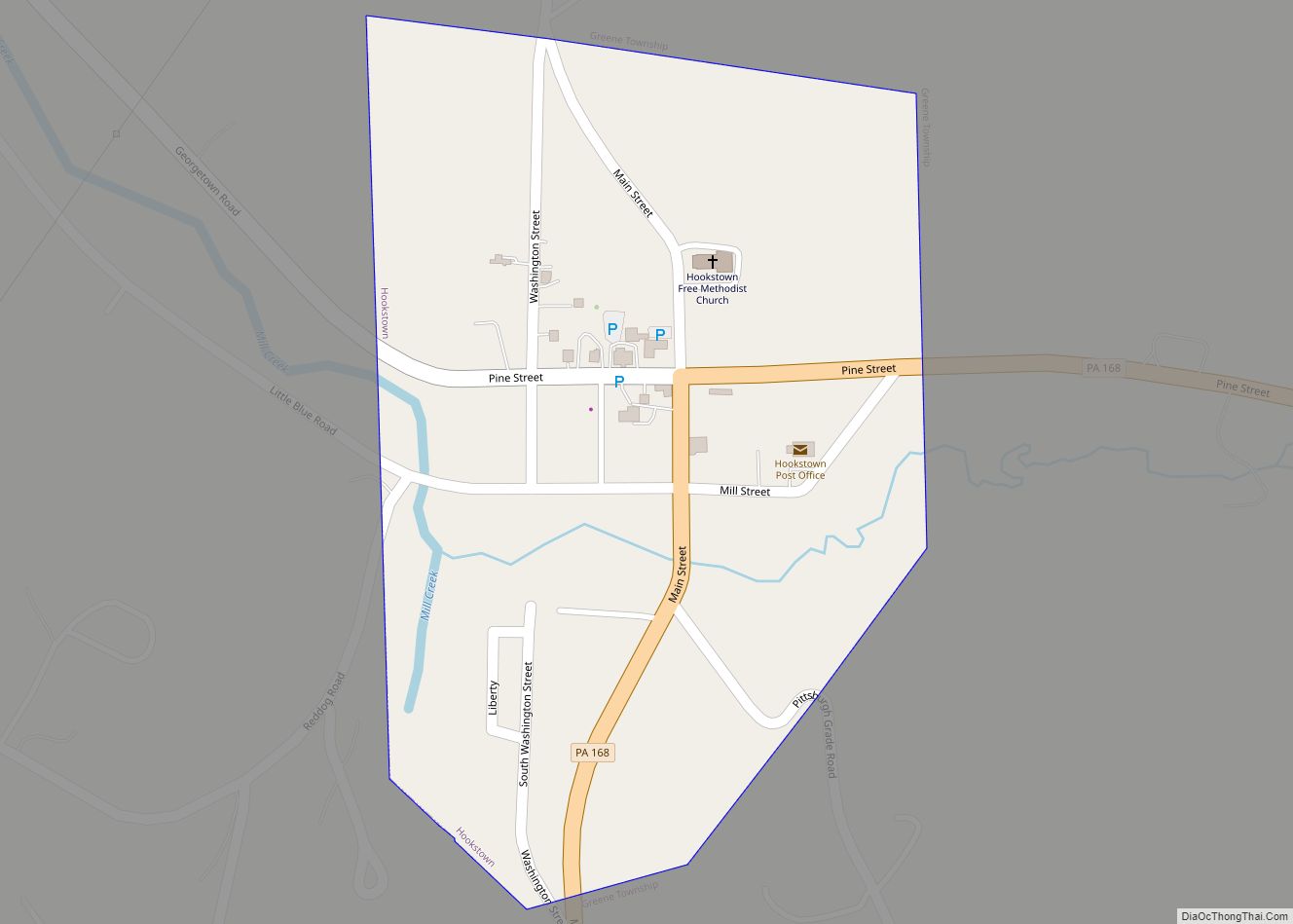
Hookstown is a borough which is located in western Beaver County, Pennsylvania, United States. The population was 130 at the time of the 2020 census. It is a part of the Pittsburgh metropolitan area. Hookstown borough overview: Name: Hookstown borough LSAD Code: 21 LSAD Description: borough (suffix) State: Pennsylvania County: Beaver County Incorporated: 1843 Elevation: ... Read more
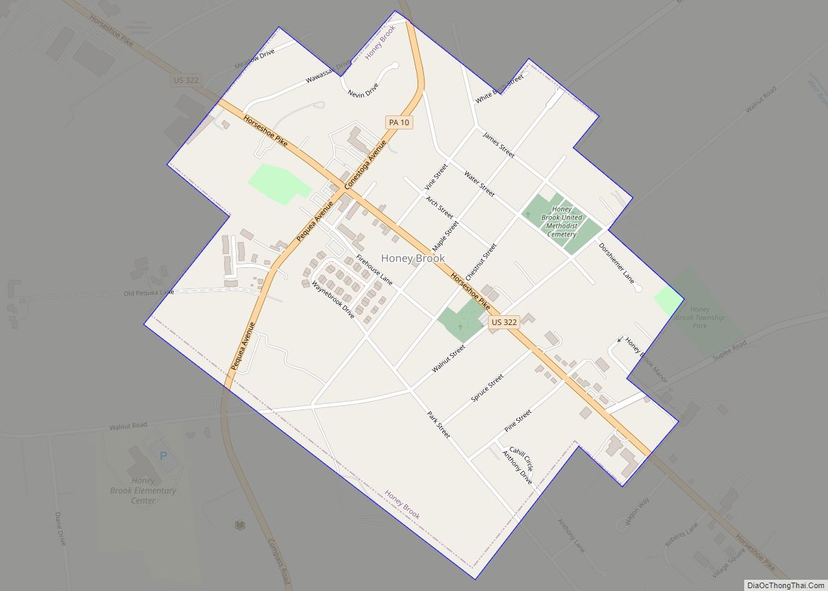
Honey Brook is a borough in Chester County, Pennsylvania, United States. The population of the borough was 1,895 at the 2020 census. The borough is surrounded by Honey Brook Township, and both are referred to locally collectively as Honey Brook. Honey Brook borough overview: Name: Honey Brook borough LSAD Code: 21 LSAD Description: borough (suffix) ... Read more
Hughestown is a borough in the Greater Pittston area of Luzerne County, Pennsylvania, United States. The population was 1,326 at the 2020 census. Hughestown borough overview: Name: Hughestown borough LSAD Code: 21 LSAD Description: borough (suffix) State: Pennsylvania County: Luzerne County Incorporated: 1879 Total Area: 0.87 sq mi (2.25 km²) Land Area: 0.87 sq mi (2.25 km²) Water Area: 0.00 sq mi (0.00 km²) ... Read more
Hudson is a census-designated place (CDP) in Plains Township, Luzerne County, Pennsylvania, United States. The population was 1,443 at the 2010 census. Hudson CDP overview: Name: Hudson CDP LSAD Code: 57 LSAD Description: CDP (suffix) State: Pennsylvania County: Luzerne County Total Area: 0.38 sq mi (0.98 km²) Land Area: 0.38 sq mi (0.98 km²) Water Area: 0.00 sq mi (0.00 km²) Total Population: 1,436 ... Read more
