Hookstown is a borough which is located in western Beaver County, Pennsylvania, United States. The population was 130 at the time of the 2020 census.
It is a part of the Pittsburgh metropolitan area.
| Name: | Hookstown borough |
|---|---|
| LSAD Code: | 21 |
| LSAD Description: | borough (suffix) |
| State: | Pennsylvania |
| County: | Beaver County |
| Incorporated: | 1843 |
| Elevation: | 1,020 ft (310 m) |
| Total Area: | 0.14 sq mi (0.35 km²) |
| Land Area: | 0.14 sq mi (0.35 km²) |
| Water Area: | 0.00 sq mi (0.00 km²) |
| Total Population: | 129 |
| Population Density: | 955.56/sq mi (367.99/km²) |
| Area code: | 724 |
| FIPS code: | 4235576 |
Online Interactive Map
Click on ![]() to view map in "full screen" mode.
to view map in "full screen" mode.
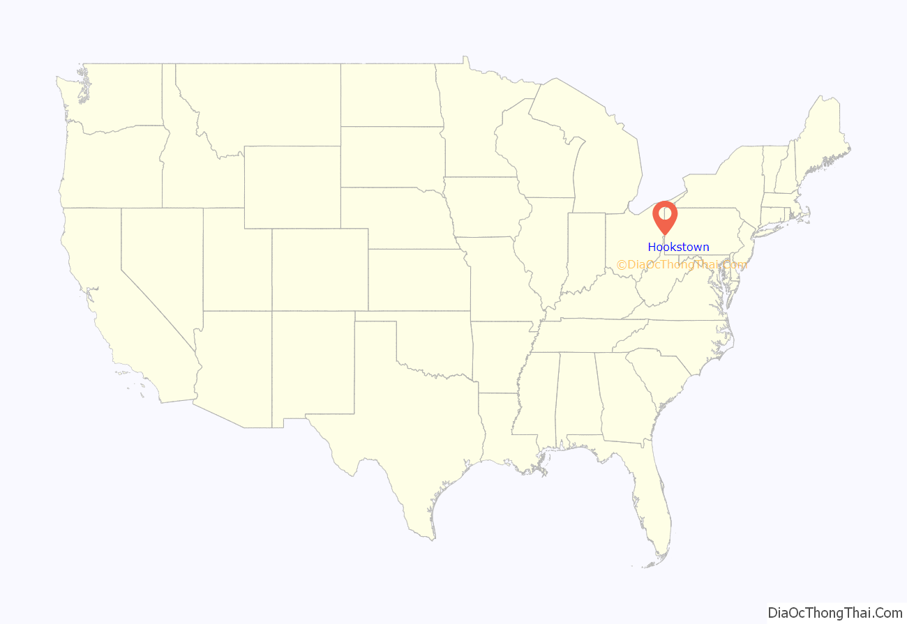
Hookstown location map. Where is Hookstown borough?
History
Hookstown was named after Matthias Hook, an early pioneer and Revolutionary War soldier, and his family. The only known surviving relatives are the McCormick family, who still reside in Hookstown and surrounding areas in western Pennsylvania.
Through his daughter, Catherine Hook, who married George Griffey, multiple present-day descendants across the United States are able to trace their roots back to Mathias Hook. A Griffey family reunion has been held annually in West Springfield, Pennsylvania, every June, for more than a hundred years.
In 1975, Little Blue Run Lake, the U.S.’s largest coal slurry waste impound, was built directly west of the town and has caused environmental damage to the surrounding communities.
Hookstown Road Map
Hookstown city Satellite Map
Geography
Hookstown is located in western Beaver County at 40°35′56″N 80°28′27″W / 40.59889°N 80.47417°W / 40.59889; -80.47417 (40.598869, -80.474150).
Pennsylvania Route 168 runs through the community, leading northeastward 3 miles (5 km) to the Ohio River borough of Shippingport and south 1.5 miles (2.4 km) to U.S. Route 30, the Lincoln Highway.
According to the United States Census Bureau, the borough has a total area of 0.14 square miles (0.35 km), all of it land.
Surrounding neighborhoods
Hookstown is situated in the center of Greene Township.
See also
Map of Pennsylvania State and its subdivision:- Adams
- Allegheny
- Armstrong
- Beaver
- Bedford
- Berks
- Blair
- Bradford
- Bucks
- Butler
- Cambria
- Cameron
- Carbon
- Centre
- Chester
- Clarion
- Clearfield
- Clinton
- Columbia
- Crawford
- Cumberland
- Dauphin
- Delaware
- Elk
- Erie
- Fayette
- Forest
- Franklin
- Fulton
- Greene
- Huntingdon
- Indiana
- Jefferson
- Juniata
- Lackawanna
- Lancaster
- Lawrence
- Lebanon
- Lehigh
- Luzerne
- Lycoming
- Mc Kean
- Mercer
- Mifflin
- Monroe
- Montgomery
- Montour
- Northampton
- Northumberland
- Perry
- Philadelphia
- Pike
- Potter
- Schuylkill
- Snyder
- Somerset
- Sullivan
- Susquehanna
- Tioga
- Union
- Venango
- Warren
- Washington
- Wayne
- Westmoreland
- Wyoming
- York
- Alabama
- Alaska
- Arizona
- Arkansas
- California
- Colorado
- Connecticut
- Delaware
- District of Columbia
- Florida
- Georgia
- Hawaii
- Idaho
- Illinois
- Indiana
- Iowa
- Kansas
- Kentucky
- Louisiana
- Maine
- Maryland
- Massachusetts
- Michigan
- Minnesota
- Mississippi
- Missouri
- Montana
- Nebraska
- Nevada
- New Hampshire
- New Jersey
- New Mexico
- New York
- North Carolina
- North Dakota
- Ohio
- Oklahoma
- Oregon
- Pennsylvania
- Rhode Island
- South Carolina
- South Dakota
- Tennessee
- Texas
- Utah
- Vermont
- Virginia
- Washington
- West Virginia
- Wisconsin
- Wyoming
