Madison is a borough in Westmoreland County, Pennsylvania, United States. The population was 397 at the 2010 census. The borough was named for James Madison, fourth President of the United States. Madison borough overview: Name: Madison borough LSAD Code: 21 LSAD Description: borough (suffix) State: Pennsylvania County: Westmoreland County Incorporated: October 3, 1876 Elevation: 1,178 ft ... Read more
Pennsylvania Cities and Places
Macungie /məˈkʌndʒiː/ is the second oldest borough in Lehigh County, Pennsylvania. As of the 2020 census, Macungie had a population of 3,257. Macungie is a suburb of Allentown, and part of the Lehigh Valley metropolitan area, which had a population of 861,899 and was the 68th-most populous metropolitan area in the U.S. as of the ... Read more
Lyons (also known as Lyon Station) is a borough in Berks County, Pennsylvania, United States. The population was 478 at the 2010 census. Lyons borough overview: Name: Lyons borough LSAD Code: 21 LSAD Description: borough (suffix) State: Pennsylvania County: Berks County Elevation: 476 ft (145 m) Total Area: 0.36 sq mi (0.92 km²) Land Area: 0.36 sq mi (0.92 km²) Water Area: 0.00 sq mi ... Read more
Lynnwood-Pricedale is a census-designated place (CDP) in Fayette and Westmoreland counties in the commonwealth of Pennsylvania, United States. The population was 2,031 at the 2010 census, down from 2,168 at the 2000 census. The community of Lynwood is located in Fayette County’s Washington Township, while Pricedale is part of Westmoreland County’s Rostraver Township. Lynnwood-Pricedale CDP ... Read more
Lykens is a borough in Dauphin County, Pennsylvania, United States. Anthracite coal mining sustained a population of 2,762 in 1900 and 2,943 in 1910. The population was 1,865 at the 2020 census. Lykens is part of the Harrisburg–Carlisle Metropolitan Statistical Area. Lykens borough overview: Name: Lykens borough LSAD Code: 21 LSAD Description: borough (suffix) State: ... Read more
Luzerne is a borough located 5 miles (8 km) north of Wilkes Barre in Luzerne County, Pennsylvania, United States. The population was 2,703 at the time of the 2020 census. Luzerne borough overview: Name: Luzerne borough LSAD Code: 21 LSAD Description: borough (suffix) State: Pennsylvania County: Luzerne County Incorporated: 1882 Total Area: 0.71 sq mi (1.83 km²) Land Area: ... Read more
Mainville is a census-designated place in Columbia County, Pennsylvania, United States. It is part of Northeastern Pennsylvania. The population was 132 at the 2010 census. It is part of the Bloomsburg-Berwick micropolitan area. Mainville CDP overview: Name: Mainville CDP LSAD Code: 57 LSAD Description: CDP (suffix) State: Pennsylvania County: Columbia County Elevation: 543 ft (166 m) Total ... Read more
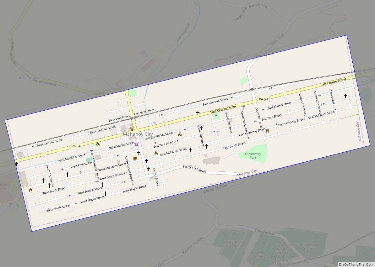
Mahanoy City (pronounced MAHA-noy, also MA-noy locally) is a borough located 38 miles (61 km) southwest of Wilkes-Barre and 13 miles southwest of Hazleton, in northern Schuylkill County, Pennsylvania, United States. It is part of the Coal Region of Pennsylvania and is located entirely within, but is not part of, Mahanoy Township. The name Mahanoy is ... Read more
Maple Glen is a census-designated place (CDP) in Montgomery County, Pennsylvania, United States. The population was 6,647 at the 2020 census. Maple Glen CDP overview: Name: Maple Glen CDP LSAD Code: 57 LSAD Description: CDP (suffix) State: Pennsylvania County: Montgomery County Elevation: 374 ft (114 m) Total Area: 3.12 sq mi (8.08 km²) Land Area: 3.12 sq mi (8.08 km²) Water Area: 0.00 sq mi ... Read more
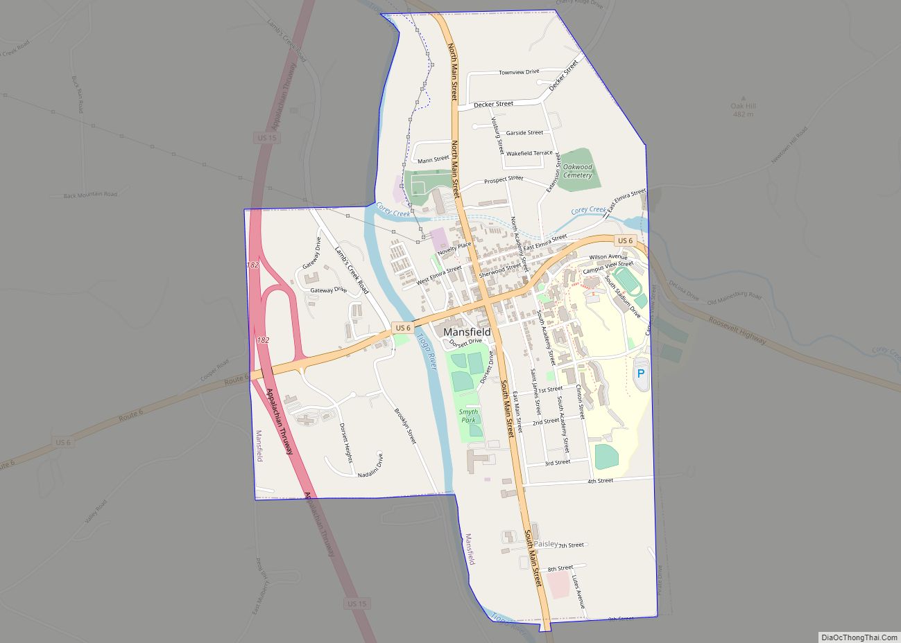
Mansfield is a borough located in east-central Tioga County, Pennsylvania, United States, in the Tioga River valley. It is situated at the intersection of U.S. Route 6 and U.S. Business Route 15, about 36 miles (58 km) southwest of Elmira, New York. Mansfield borough overview: Name: Mansfield borough LSAD Code: 21 LSAD Description: borough (suffix) State: ... Read more
Manorville is a borough in Armstrong County, Pennsylvania, United States. The population was 382 at the 2020 census. Manorville borough overview: Name: Manorville borough LSAD Code: 21 LSAD Description: borough (suffix) State: Pennsylvania County: Armstrong County Elevation: 800 ft (200 m) Total Area: 0.12 sq mi (0.31 km²) Land Area: 0.10 sq mi (0.26 km²) Water Area: 0.02 sq mi (0.05 km²) Total Population: 382 Population ... Read more
Manor is a borough that is located in Westmoreland County, Pennsylvania, United States. The population was 3,585 at the time of the 2020 census. Manor borough overview: Name: Manor borough LSAD Code: 21 LSAD Description: borough (suffix) State: Pennsylvania County: Westmoreland County Incorporated: 1884 Elevation: 932 ft (284 m) Total Area: 1.91 sq mi (4.95 km²) Land Area: 1.91 sq mi (4.95 km²) ... Read more


