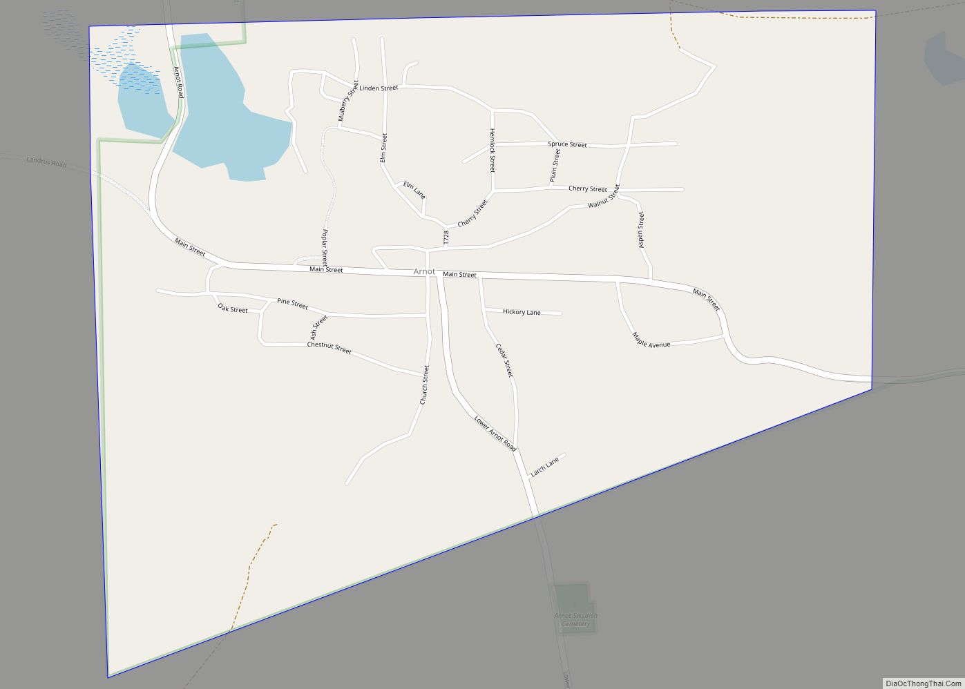
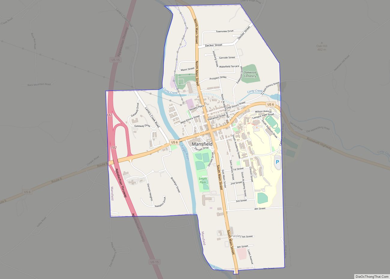
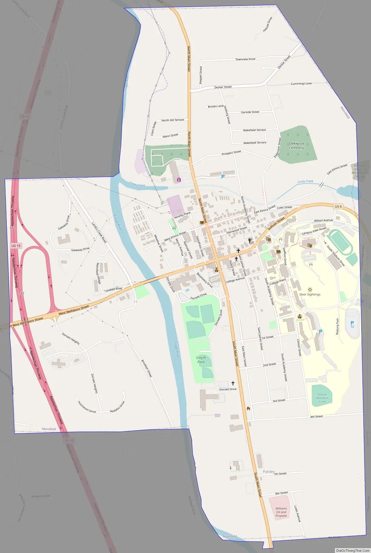
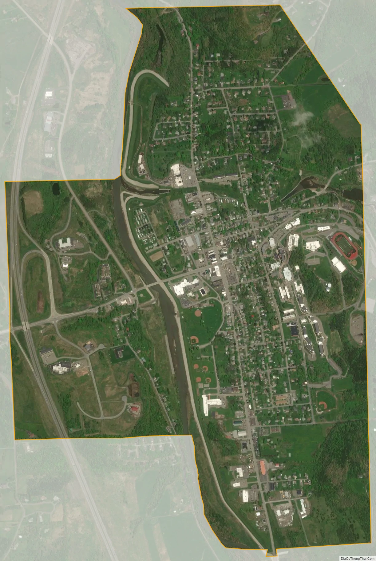
Mansfield is a borough located in east-central Tioga County, Pennsylvania, United States, in the Tioga River valley. It is situated at the intersection of U.S. Route 6 and U.S. Business Route 15, about 36 miles (58 km) southwest of Elmira, New York.
| Name: | Mansfield borough |
|---|---|
| LSAD Code: | 21 |
| LSAD Description: | borough (suffix) |
| State: | Pennsylvania |
| County: | Tioga County |
| Elevation: | 1,181 ft (360 m) |
| Total Area: | 1.89 sq mi (4.88 km²) |
| Land Area: | 1.88 sq mi (4.88 km²) |
| Water Area: | 0.00 sq mi (0.00 km²) |
| Total Population: | 2,839 |
| Population Density: | 1,506.90/sq mi (581.77/km²) |
| ZIP code: | 16933 |
| Area code: | 570 |
| FIPS code: | 4247080 |
Online Interactive Map
Click on ![]() to view map in "full screen" mode.
to view map in "full screen" mode.
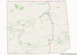
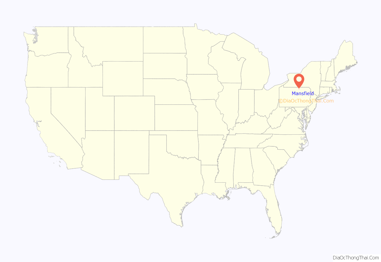
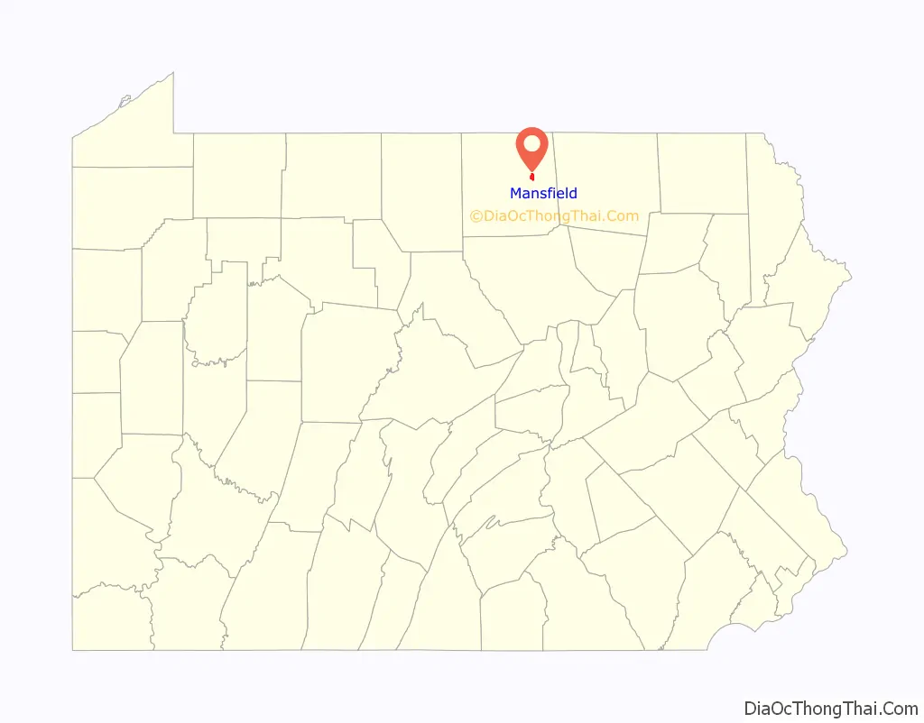
Mansfield location map. Where is Mansfield borough?
History
In 1800, an English settler from Rhode Island named Asa Mann cleared a large amount of forest, and in 1804 laid out the plan for a town on this estate—Mann’s field. The borough was incorporated in 1857. In the same year, the Mansfield Classical Seminary was founded, which became a state normal school in 1862 and is today Mansfield University of Pennsylvania.
Mansfield is the place where the first night football game was played under electric lights, on September 28, 1892 sponsored by the Edison Illuminating Company.The 1892 Wyoming Seminary vs. Mansfield State Normal football game is celebrated in an annual festival which celebrates the 1890s.
The number of people living here in 1900 amounted to 1,847, and in 1910, 1,654. The population was 3,411 at the 2000 census. As of 2004, the borough had an estimated population of 3,463. As of the 2010 Census, the population was 3,625.
The Mansfield Armory was listed on the National Register of Historic Places in 1991.
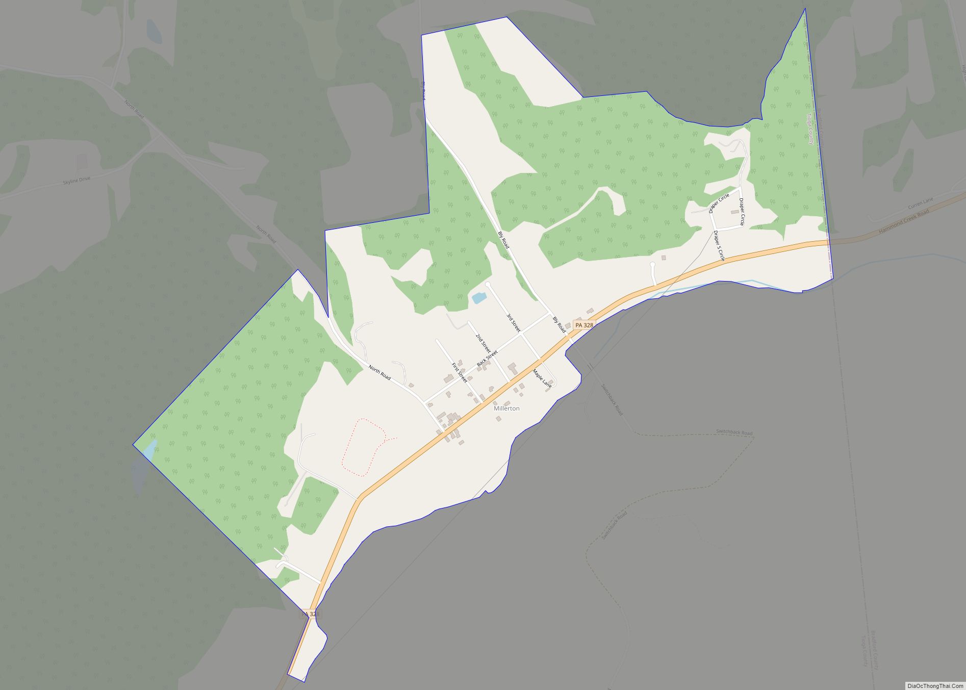
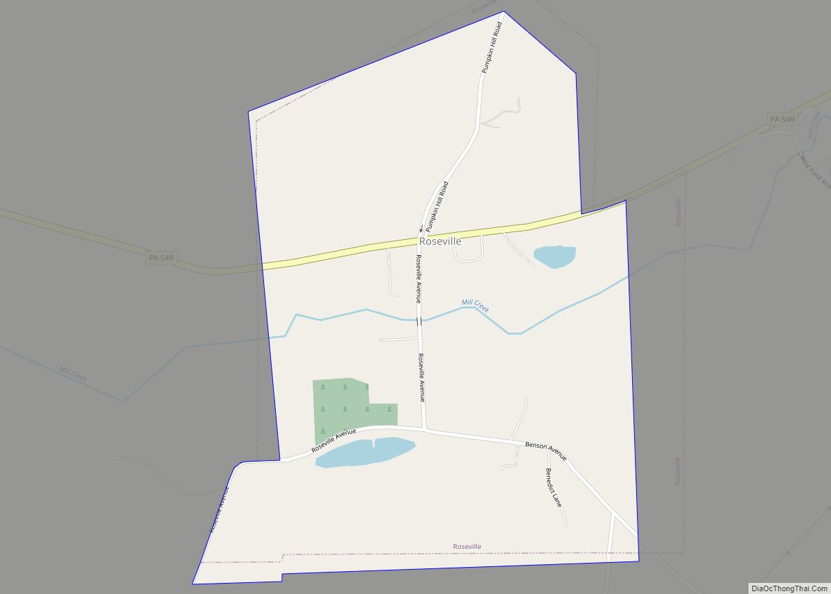
Mansfield Road Map
Mansfield city Satellite Map
Geography
Mansfield is located at 41°48′27″N 77°4′42″W / 41.80750°N 77.07833°W / 41.80750; -77.07833 (41.807383, -77.078409).
According to the United States Census Bureau, the borough has a total area of 1.9 square miles (4.9 km), all land.
Mansfield is surrounded by Richmond Township.
See also
Map of Pennsylvania State and its subdivision:- Adams
- Allegheny
- Armstrong
- Beaver
- Bedford
- Berks
- Blair
- Bradford
- Bucks
- Butler
- Cambria
- Cameron
- Carbon
- Centre
- Chester
- Clarion
- Clearfield
- Clinton
- Columbia
- Crawford
- Cumberland
- Dauphin
- Delaware
- Elk
- Erie
- Fayette
- Forest
- Franklin
- Fulton
- Greene
- Huntingdon
- Indiana
- Jefferson
- Juniata
- Lackawanna
- Lancaster
- Lawrence
- Lebanon
- Lehigh
- Luzerne
- Lycoming
- Mc Kean
- Mercer
- Mifflin
- Monroe
- Montgomery
- Montour
- Northampton
- Northumberland
- Perry
- Philadelphia
- Pike
- Potter
- Schuylkill
- Snyder
- Somerset
- Sullivan
- Susquehanna
- Tioga
- Union
- Venango
- Warren
- Washington
- Wayne
- Westmoreland
- Wyoming
- York
- Alabama
- Alaska
- Arizona
- Arkansas
- California
- Colorado
- Connecticut
- Delaware
- District of Columbia
- Florida
- Georgia
- Hawaii
- Idaho
- Illinois
- Indiana
- Iowa
- Kansas
- Kentucky
- Louisiana
- Maine
- Maryland
- Massachusetts
- Michigan
- Minnesota
- Mississippi
- Missouri
- Montana
- Nebraska
- Nevada
- New Hampshire
- New Jersey
- New Mexico
- New York
- North Carolina
- North Dakota
- Ohio
- Oklahoma
- Oregon
- Pennsylvania
- Rhode Island
- South Carolina
- South Dakota
- Tennessee
- Texas
- Utah
- Vermont
- Virginia
- Washington
- West Virginia
- Wisconsin
- Wyoming