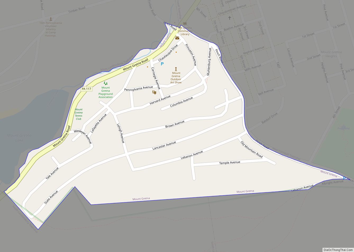
Mount Gretna is a borough in Lebanon County, Pennsylvania, United States. It is part of the Lebanon, PA, Metropolitan Statistical Area. The population was 188 at the 2020 census. It was founded by the Pennsylvania Chautauqua Society, which was attracted by the area’s natural landscape and beauty, by the 1890s. It is a popular destination ... Read more
Pennsylvania Cities and Places
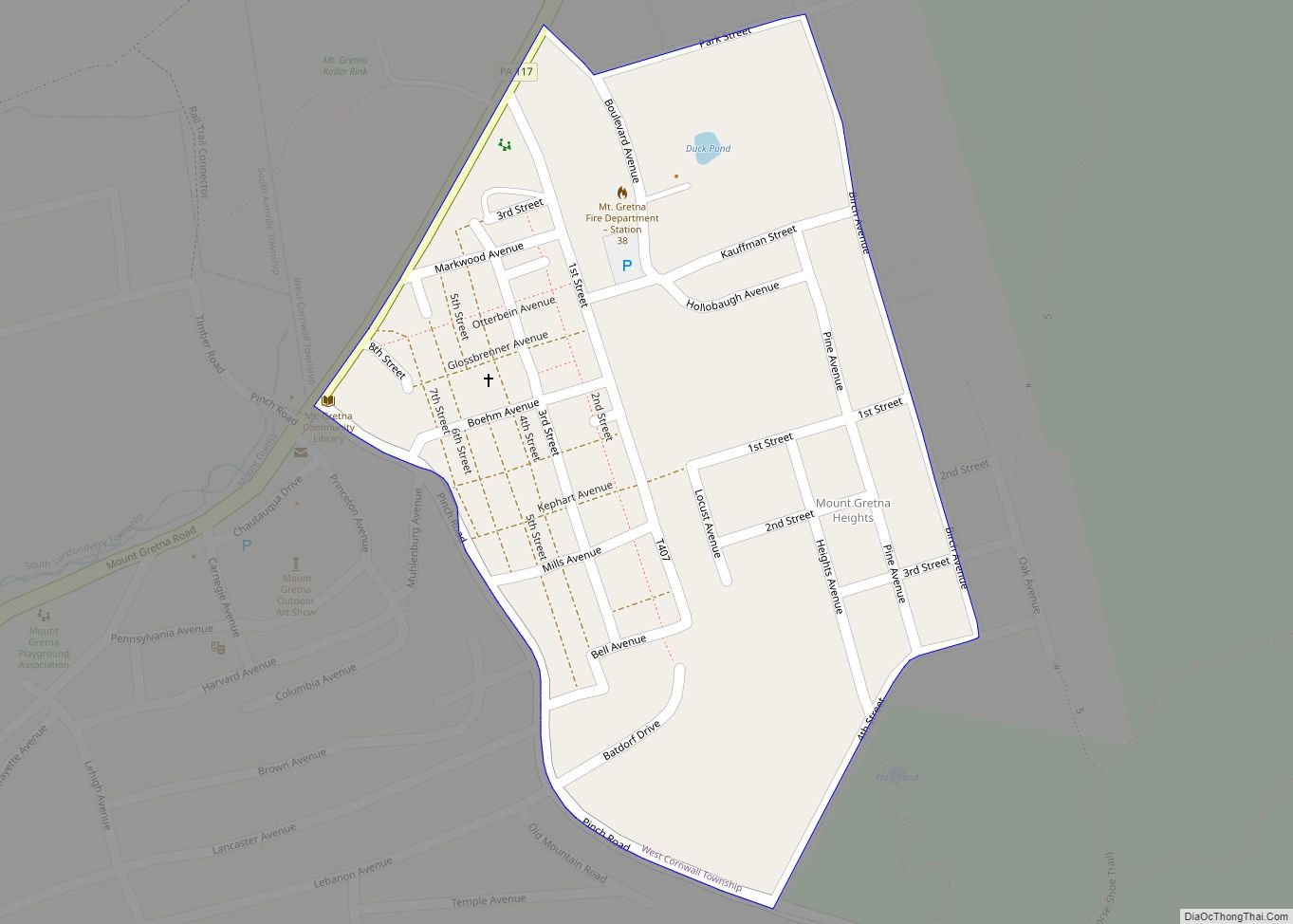
Mount Gretna Heights is an unincorporated community and census-designated place (CDP) in Lebanon County, Pennsylvania, United States, adjacent to the borough of Mount Gretna. The population was 323 at the 2010 census. Mount Gretna Heights CDP overview: Name: Mount Gretna Heights CDP LSAD Code: 57 LSAD Description: CDP (suffix) State: Pennsylvania County: Lebanon County Elevation: ... Read more
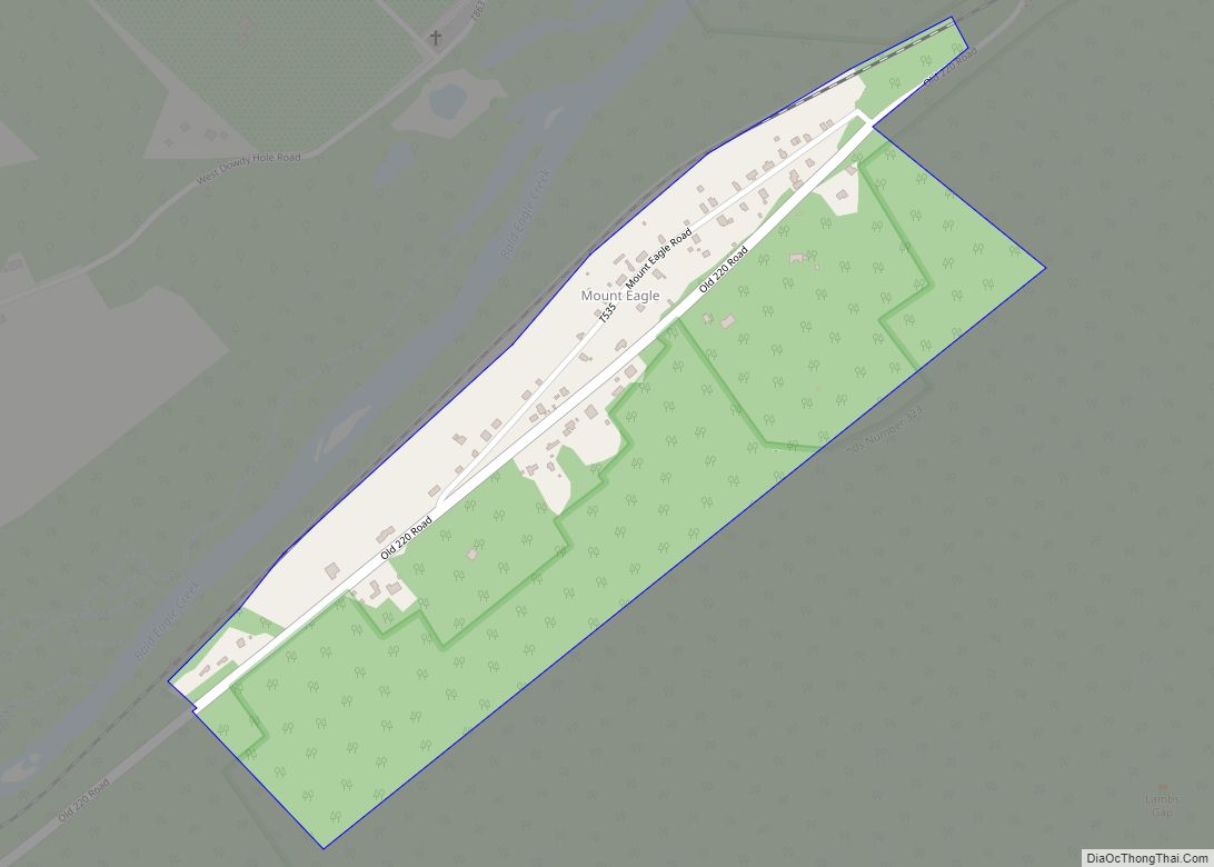
Mount Eagle is an unincorporated community and census-designated place in Howard Township, Centre County, Pennsylvania, United States. As of the 2010 census, the population was 103. It is located near the southern corner of Howard Township along Old Route 220, to the southeast of Bald Eagle Creek where it flows into Foster J. Sayers Lake. ... Read more
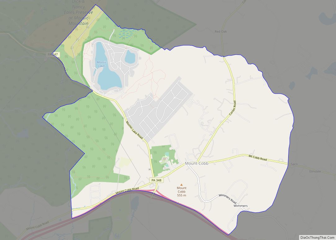
Mount Cobb is an unincorporated community and census-designated place (CDP) in Lackawanna County, Pennsylvania, United States. The population was 1,799 at the 2010 census. Mount Cobb CDP overview: Name: Mount Cobb CDP LSAD Code: 57 LSAD Description: CDP (suffix) State: Pennsylvania County: Lackawanna County Elevation: 1,655 ft (504 m) Total Area: 7.30 sq mi (18.90 km²) Land Area: 7.14 sq mi (18.49 km²) ... Read more
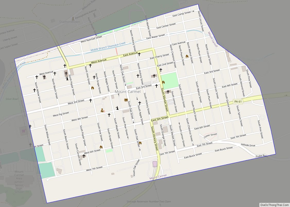
Mount Carmel is a borough in Northumberland County, located in the Coal Heritage Region of Central Pennsylvania‘s Susquehanna River Valley, United States. The population was 5,725 at the 2020 census. It is located 88 miles (141 km) northwest of Philadelphia and 71 miles (114 km) northeast of Harrisburg, in the Coal Region. It is completely encircled by ... Read more
Mount Carbon is a borough in Schuylkill County, Pennsylvania, United States, two miles south of Pottsville. It was formed from North Manheim Township in 1864. The population was 88 in the 2020 census. The borough is the smallest municipality in Schuylkill County. Mount Carbon borough overview: Name: Mount Carbon borough LSAD Code: 21 LSAD Description: ... Read more
Mount Oliver is a borough in Allegheny County, Pennsylvania, United States. It is a largely residential area situated atop a crest about 3 miles (5 km) west of the Monongahela River. The borough is surrounded entirely by the city of Pittsburgh, having resisted annexations by the city, as it prefers to manage its own local needs ... Read more
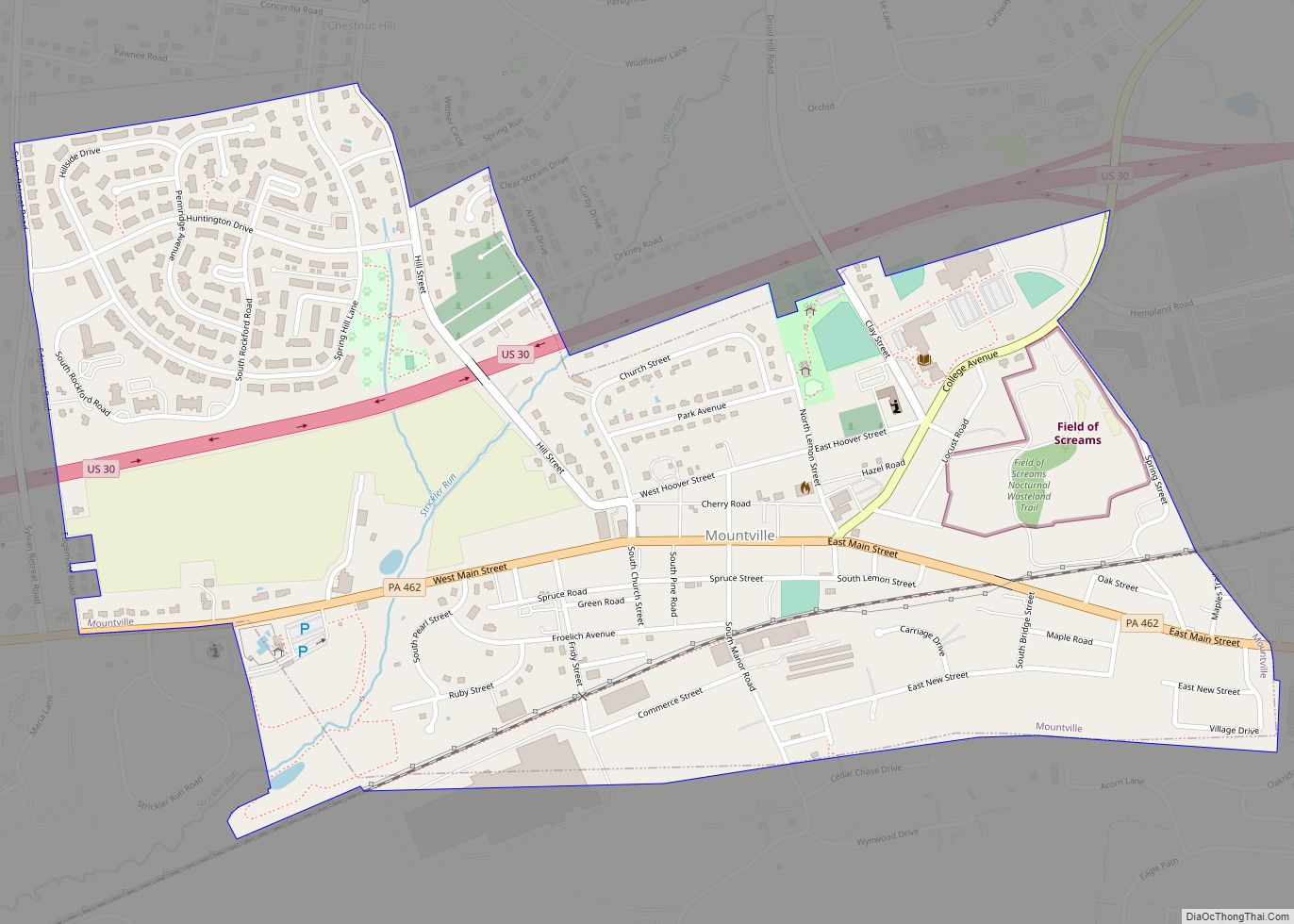
Mountville is a borough in Lancaster County, Pennsylvania, United States. The population was 3,022 at the 2020 census, an increase over the figure of 2,802 tabulated in 2010. The original Charles Chips potato chip factory was located here. Mountville borough overview: Name: Mountville borough LSAD Code: 21 LSAD Description: borough (suffix) State: Pennsylvania County: Lancaster ... Read more
Mountainhome is a census-designated place (CDP) in Barrett Township, Monroe County, Pennsylvania, United States. The population was 1,182 at the 2010 census. Mountainhome CDP overview: Name: Mountainhome CDP LSAD Code: 57 LSAD Description: CDP (suffix) State: Pennsylvania County: Monroe County Elevation: 1,234 ft (376 m) Total Area: 1.90 sq mi (4.91 km²) Land Area: 1.90 sq mi (4.91 km²) Water Area: 0.00 sq mi (0.00 km²) ... Read more
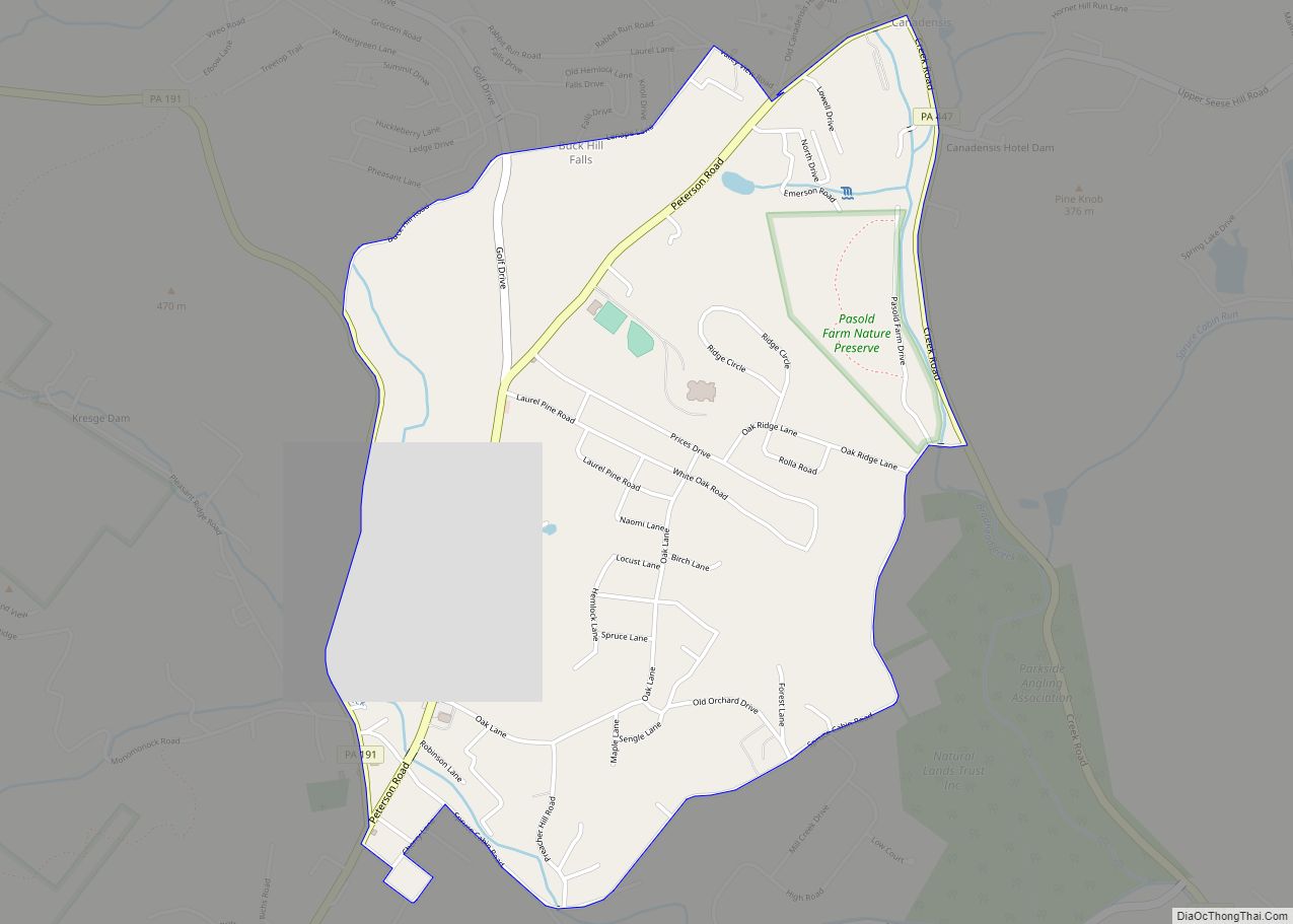
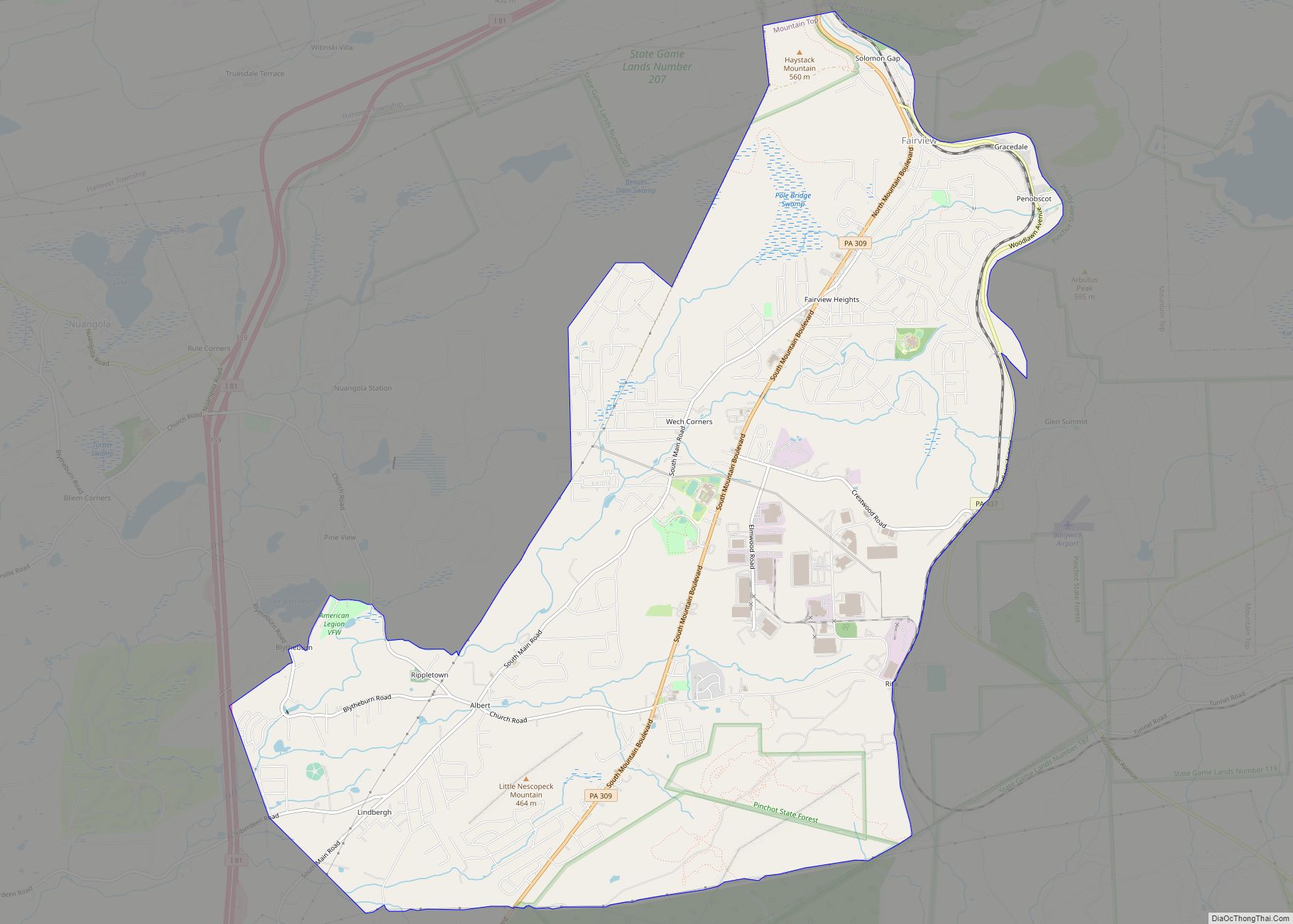
Mountain Top is an unincorporated area and census-designated place (CDP) in Luzerne County, Pennsylvania, United States. As of the 2010 census, the CDP population was 10,982. The Mountain Top CDP is located along Pennsylvania Route 309 (south of Wilkes-Barre) in Fairview, Wright,Rice townships and Dorrance Township. Mountain Top CDP overview: Name: Mountain Top CDP LSAD ... Read more
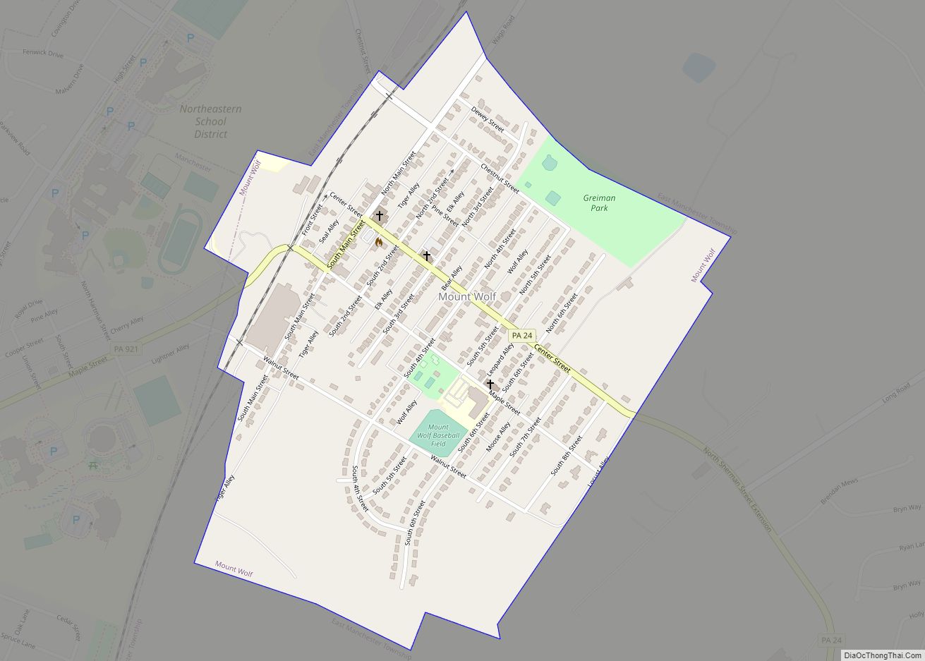
Mount Wolf is a borough in York County, Pennsylvania, United States. The population was 1,367 at the 2020 census. Mount Wolf borough overview: Name: Mount Wolf borough LSAD Code: 21 LSAD Description: borough (suffix) State: Pennsylvania County: York County Incorporated: 1910 Elevation: 374 ft (114 m) Total Area: 0.52 sq mi (1.36 km²) Land Area: 0.52 sq mi (1.36 km²) Water Area: 0.00 sq mi ... Read more
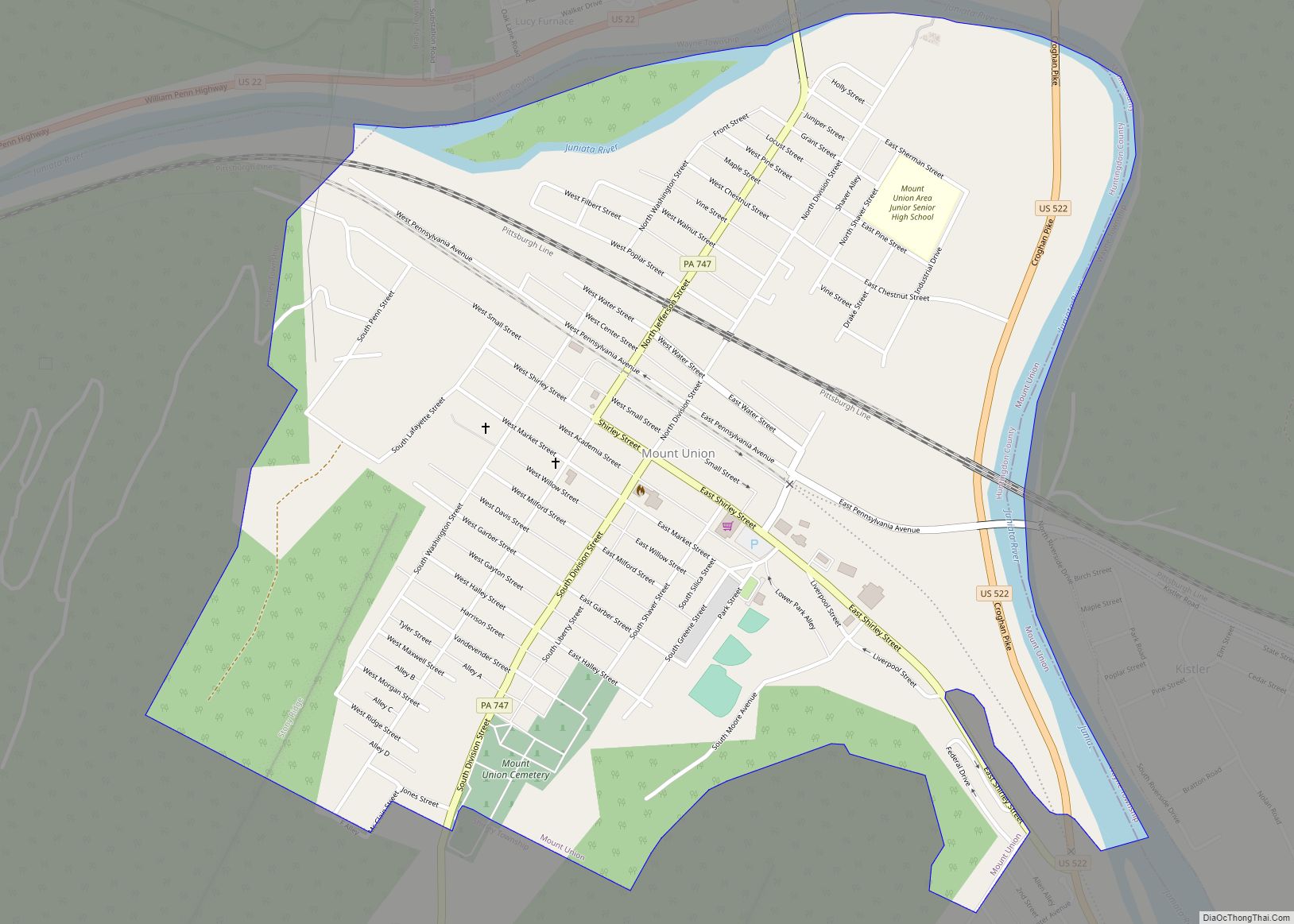
Mount Union is a borough in Huntingdon County, Pennsylvania, United States, approximately 44 miles (71 km) southeast of Altoona and 12 miles (19 km) southeast of Huntingdon, on the Juniata River. In the vicinity are found bituminous coal, ganister rock, fire clay, and some timber. A major Easter grass factory is located in the northern quadrant of ... Read more
