Mount Carbon is a borough in Schuylkill County, Pennsylvania, United States, two miles south of Pottsville. It was formed from North Manheim Township in 1864. The population was 88 in the 2020 census. The borough is the smallest municipality in Schuylkill County.
| Name: | Mount Carbon borough |
|---|---|
| LSAD Code: | 21 |
| LSAD Description: | borough (suffix) |
| State: | Pennsylvania |
| County: | Schuylkill County |
| Incorporated: | 1864 |
| Total Area: | 0.07 sq mi (0.18 km²) |
| Land Area: | 0.07 sq mi (0.18 km²) |
| Water Area: | 0.00 sq mi (0.00 km²) |
| Total Population: | 91 |
| Population Density: | 1,318.84/sq mi (509.20/km²) |
| ZIP code: | 17901 |
| Area code: | 570 |
| FIPS code: | 4251488 |
Online Interactive Map
Click on ![]() to view map in "full screen" mode.
to view map in "full screen" mode.
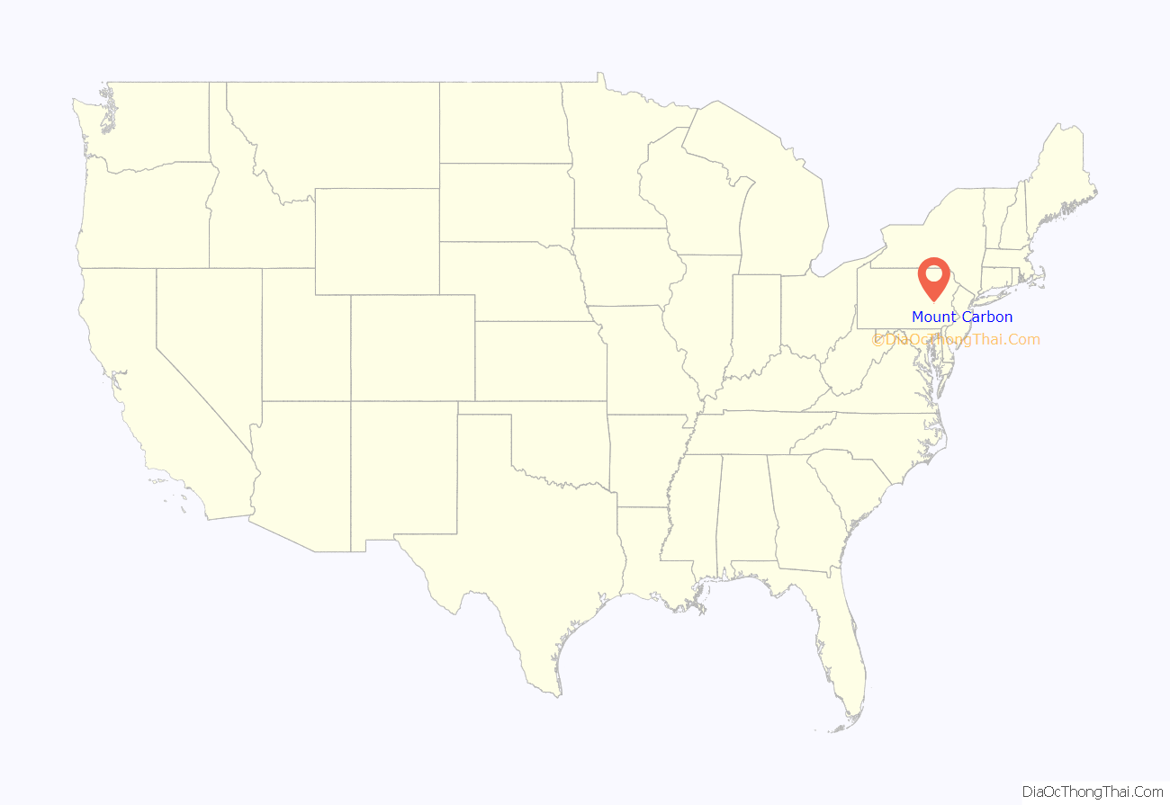
Mount Carbon location map. Where is Mount Carbon borough?

History
Among the first inhabitants of the settlement of Mt. Carbon were Lewis Murphy and Joseph Porter. The first dam for the Schuylkill Canal was built at Mount Carbon on the Schuylkill River in the spring of 1817. The entire canal was in operation by 1824.
By 1818, Necho Allen resided here, engaged in lumbering, and built a saw-mill. Although coal was to become the principal commodity transported on the canal, the company conveyed lumber and merchandise as well. By 1828 the village consisted of six homes, one store, an office building and a large stone warehouse, used to store produce, which was brought in wagons from surrounding counties to be sent to market in Philadelphia.
In 1829 John White (President of the Mt. Carbon Railroad) began the Mansion House construction here. During this same year, the Norwegian and Mount Carbon Railroad was incorporated and by April 1831, coal was being conveyed through Mt. Carbon from the rich coalfields north and west of present day Pottsville to Philadelphia.
In 1842, the Philadelphia and Reading Railway Company had made Mt. Carbon the termination point of its railroad line from Philadelphia in direct competition with the Schuylkill Canal. The canal company was leased by the railroad in 1870 and the canal north of Port Clinton was abandoned at the signing of the lease. The Philadelphia and Reading Company leased the Mt. Carbon Railroad on May 16, 1862, and merged the line into the parent organization on June 13, 1872.
In 1849, geologist Isaac Lea discovered fossilized footprints of Sauropus in red sandstone in Mount Carbon. Lea contended the tracks were reptilian and that due to the level of strata where the footprints were found, they were from the Devonian Period between 360 and 408 million years old and constituted a new species that he named Sauropus primaevus. The footprints have since been identified as coming from an amphibian now known as Palaeosauropus primaevus from the Mississipian Age over 330 million years ago.
Mount Carbon Road Map

Mount Carbon city Satellite Map

Geography
Mount Carbon is located at 40°40′21″N 76°11′15″W / 40.67250°N 76.18750°W / 40.67250; -76.18750 (40.672364, -76.187494).
According to the United States Census Bureau, the borough has a total area of 0.1 square miles (0.2 km), all land.
See also
Map of Pennsylvania State and its subdivision:- Adams
- Allegheny
- Armstrong
- Beaver
- Bedford
- Berks
- Blair
- Bradford
- Bucks
- Butler
- Cambria
- Cameron
- Carbon
- Centre
- Chester
- Clarion
- Clearfield
- Clinton
- Columbia
- Crawford
- Cumberland
- Dauphin
- Delaware
- Elk
- Erie
- Fayette
- Forest
- Franklin
- Fulton
- Greene
- Huntingdon
- Indiana
- Jefferson
- Juniata
- Lackawanna
- Lancaster
- Lawrence
- Lebanon
- Lehigh
- Luzerne
- Lycoming
- Mc Kean
- Mercer
- Mifflin
- Monroe
- Montgomery
- Montour
- Northampton
- Northumberland
- Perry
- Philadelphia
- Pike
- Potter
- Schuylkill
- Snyder
- Somerset
- Sullivan
- Susquehanna
- Tioga
- Union
- Venango
- Warren
- Washington
- Wayne
- Westmoreland
- Wyoming
- York
- Alabama
- Alaska
- Arizona
- Arkansas
- California
- Colorado
- Connecticut
- Delaware
- District of Columbia
- Florida
- Georgia
- Hawaii
- Idaho
- Illinois
- Indiana
- Iowa
- Kansas
- Kentucky
- Louisiana
- Maine
- Maryland
- Massachusetts
- Michigan
- Minnesota
- Mississippi
- Missouri
- Montana
- Nebraska
- Nevada
- New Hampshire
- New Jersey
- New Mexico
- New York
- North Carolina
- North Dakota
- Ohio
- Oklahoma
- Oregon
- Pennsylvania
- Rhode Island
- South Carolina
- South Dakota
- Tennessee
- Texas
- Utah
- Vermont
- Virginia
- Washington
- West Virginia
- Wisconsin
- Wyoming


