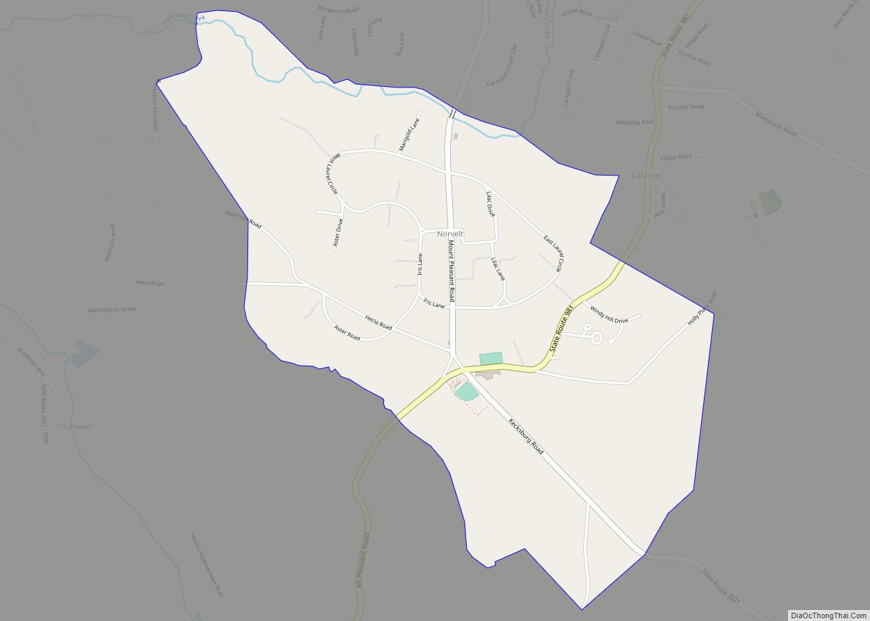
Norvelt is a census-designated place in Mount Pleasant Township, Westmoreland County, Pennsylvania, United States, founded in 1934 as Westmoreland Homesteads. In 1937 it was renamed to honor Eleanor Roosevelt. The community was part of the Calumet-Norvelt CDP for the 2000 census, but was split into the two separate communities of Calumet and Norvelt for the ... Read more
Pennsylvania Cities and Places
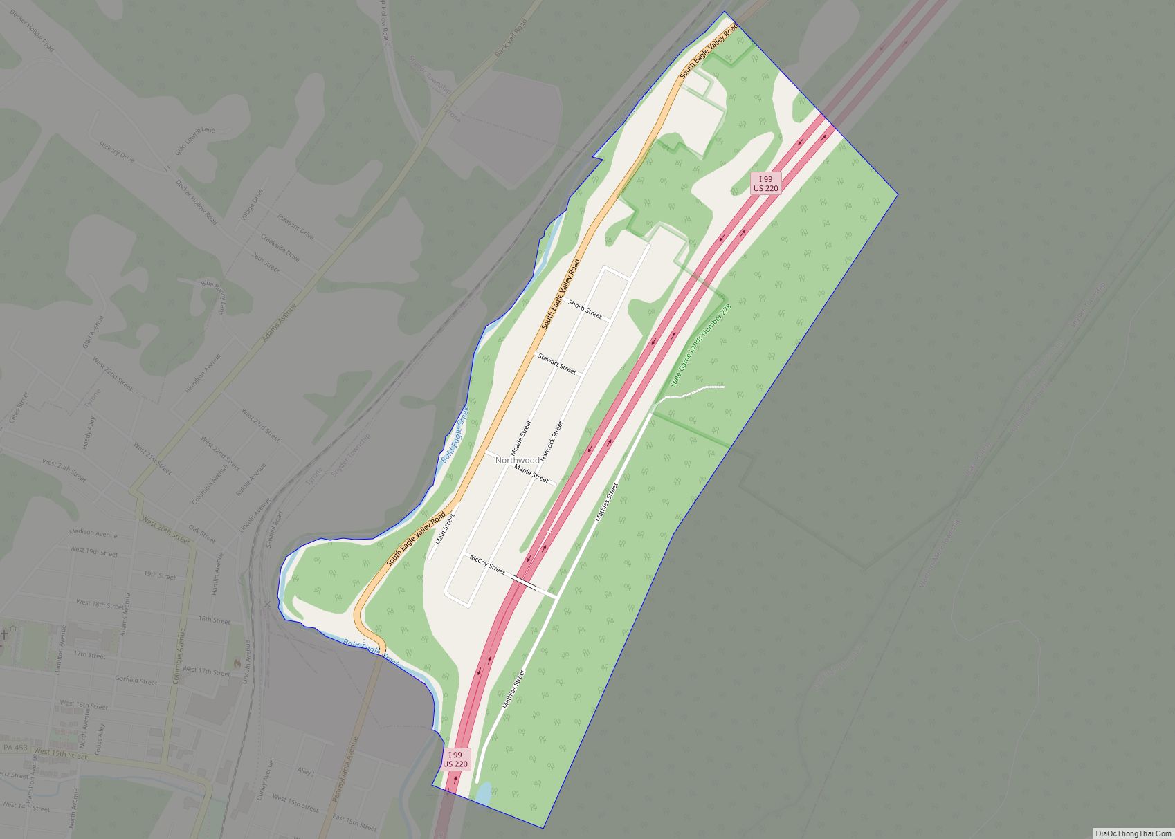
Northwood is a census-designated place in Snyder Township, Blair County, Pennsylvania, United States. It is located near I-99 and is very close to the borough of Tyrone. As of the 2010 census, the population was 296 residents. Northwood CDP overview: Name: Northwood CDP LSAD Code: 57 LSAD Description: CDP (suffix) State: Pennsylvania County: Blair County ... Read more
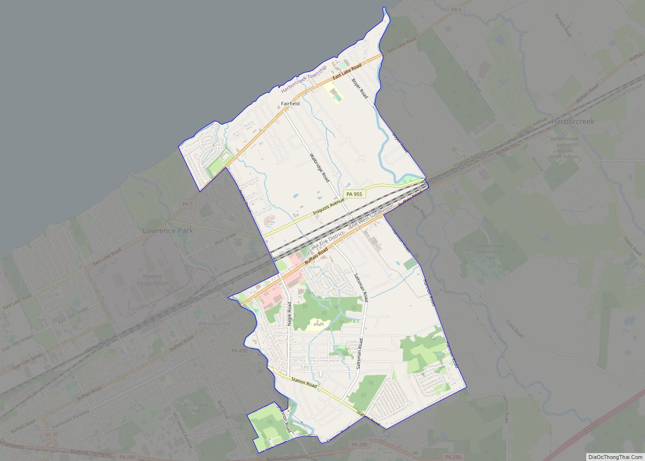
Northwest Harborcreek is a census-designated place (CDP) in Erie County, Pennsylvania, United States. The population was 8,949 at the 2010 census. It includes the unincorporated communities of Fairfield and Brookside and is part of the Erie Metropolitan Statistical Area. Northwest Harborcreek CDP overview: Name: Northwest Harborcreek CDP LSAD Code: 57 LSAD Description: CDP (suffix) State: ... Read more
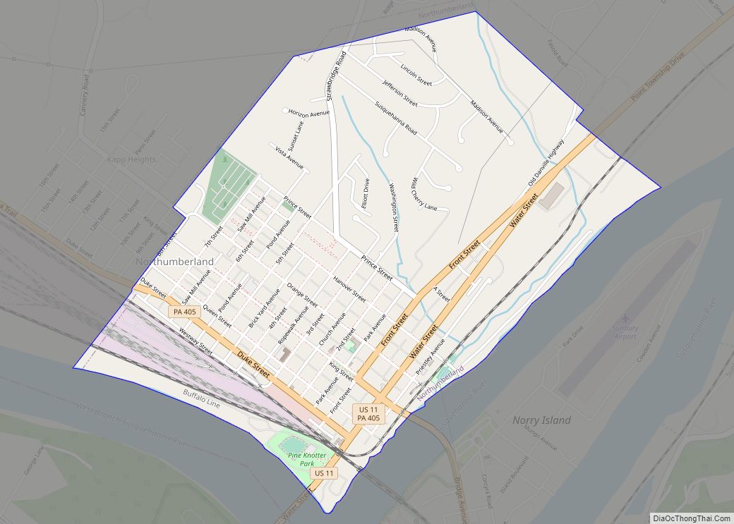
Northumberland is a borough in Northumberland County, Pennsylvania, United States. The population was 3,804 at the 2010 census. Northumberland borough overview: Name: Northumberland borough LSAD Code: 21 LSAD Description: borough (suffix) State: Pennsylvania County: Northumberland County Incorporated: 1828 Total Area: 1.61 sq mi (4.17 km²) Land Area: 1.61 sq mi (4.17 km²) Water Area: 0.00 sq mi (0.00 km²) Total Population: 3,911 Population Density: ... Read more
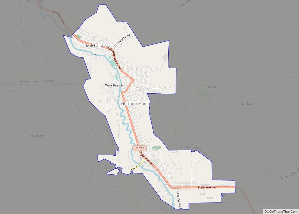
Northern Cambria is a borough in Cambria County, Pennsylvania, United States. It is part of the Johnstown, Pennsylvania Metropolitan Statistical Area. The population was 3,835 at the 2010 census. Northern Cambria borough overview: Name: Northern Cambria borough LSAD Code: 21 LSAD Description: borough (suffix) State: Pennsylvania County: Cambria County Incorporated: 2000 Elevation: 1,601 ft (488 m) Total ... Read more
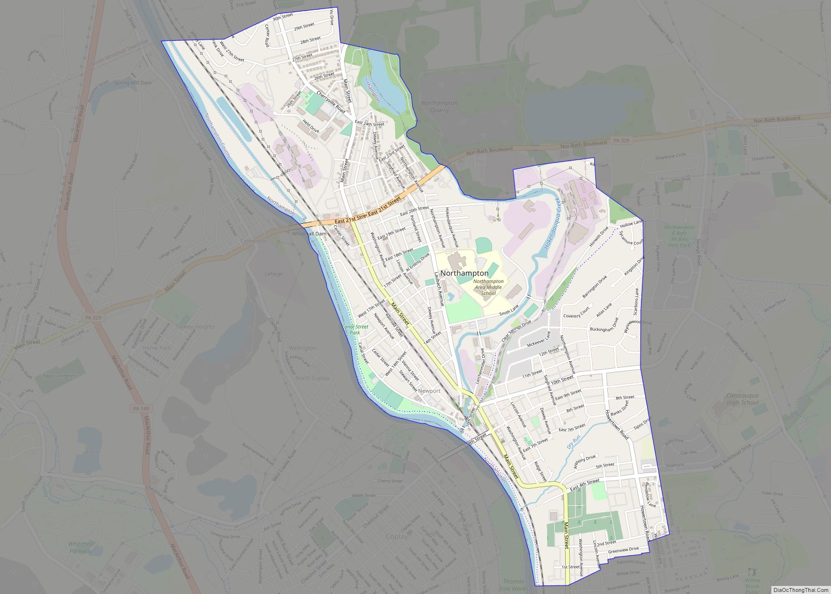
Northampton is a borough in Northampton County, Pennsylvania. Its population was 10,395 as of the 2020 census. Northampton is located 7.8 miles (12.6 km) north of Allentown, 66.7 miles (107.3 km) northwest of Philadelphia, and 93.8 miles (151.0 km) west of New York City. The borough is part of the Lehigh Valley metropolitan area, which had a population ... Read more
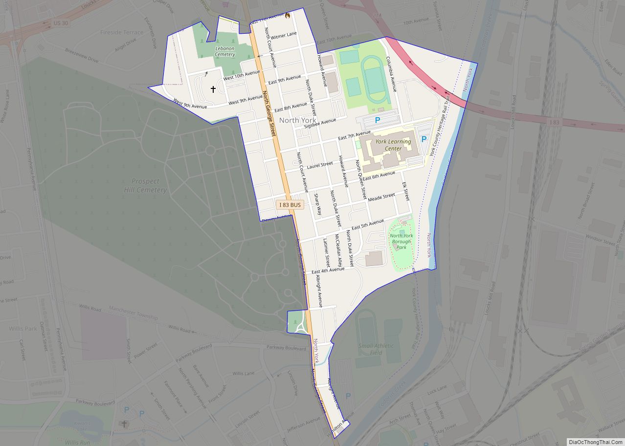
North York is a borough, adjacent to the city of York, in York County, Pennsylvania, United States. As of the 2020 census, the borough had a total population of 2,196. North York borough overview: Name: North York borough LSAD Code: 21 LSAD Description: borough (suffix) State: Pennsylvania County: York County Incorporated: 1899 Elevation: 394 ft (120 m) ... Read more
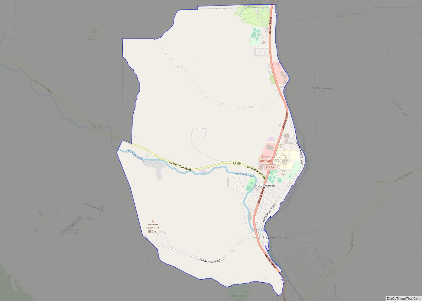
North Warren is a census-designated place located along the Conewango Creek in Conewango Township, Warren County in the state of Pennsylvania, United States. The community is located to the north of the city of Warren. As of the 2010 census the population was 1,934 residents. North Warren CDP overview: Name: North Warren CDP LSAD Code: ... Read more
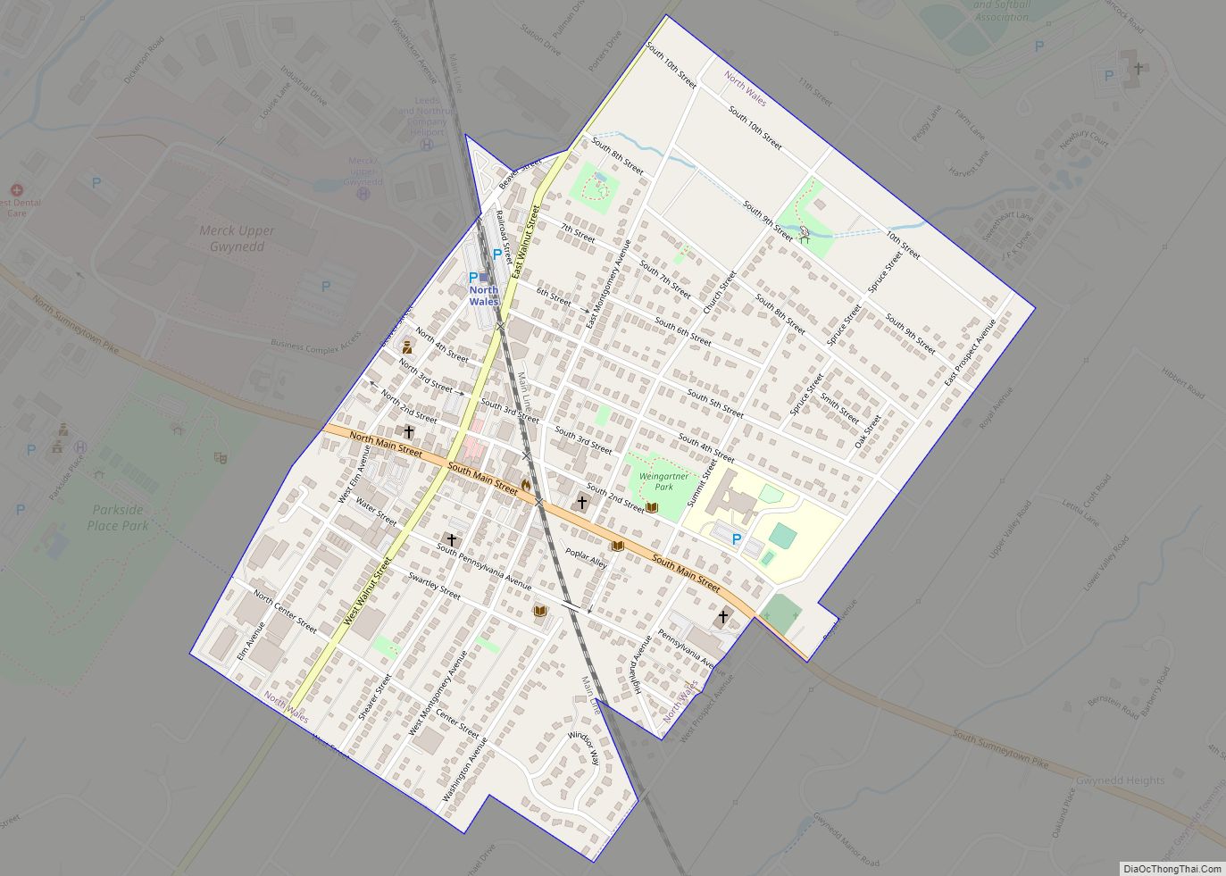
North Wales is a borough in Montgomery County, Pennsylvania. It is a suburb of Philadelphia and is one of the three historic population centers that make up the North Penn Valley, which is centered on the borough of Lansdale. It is approximately 27 miles (43 km) north of Center City Philadelphia. The population was 3,426 as ... Read more
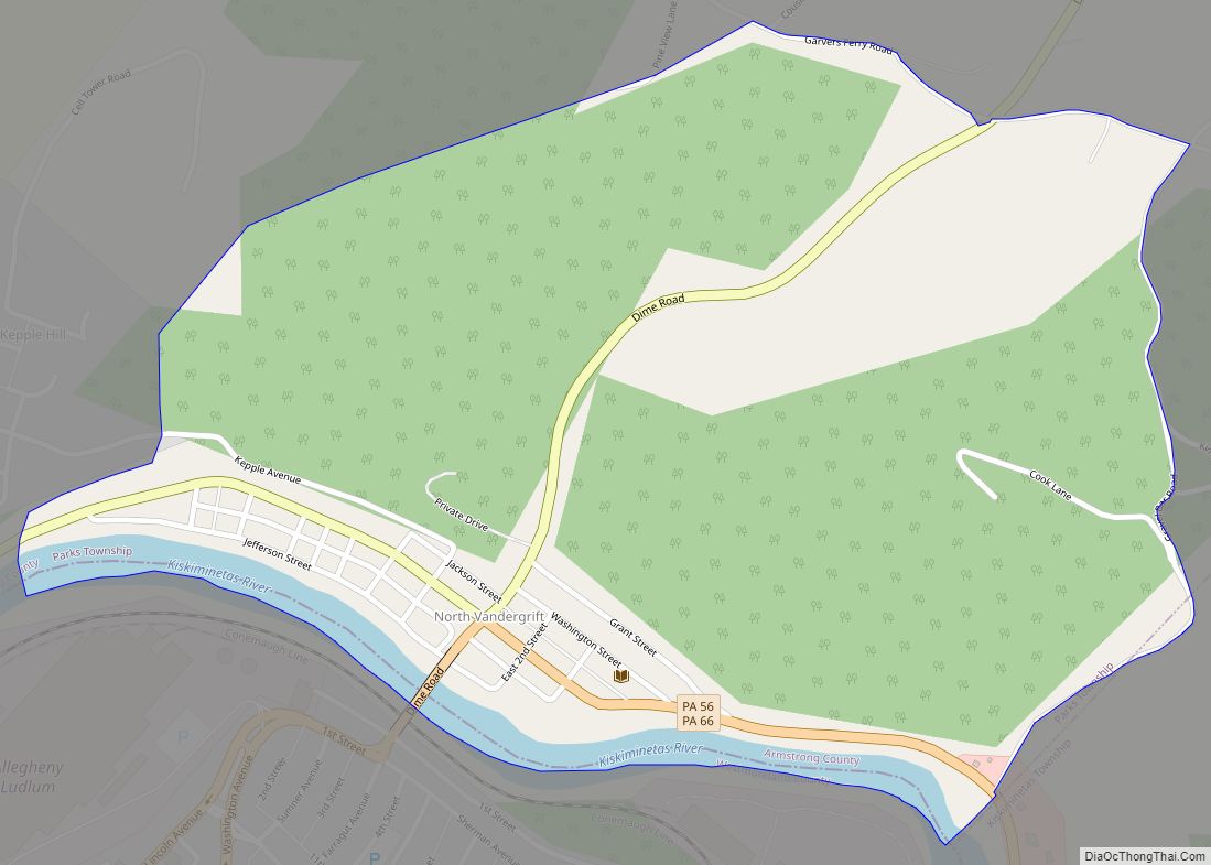
North Vandergrift is a census-designated place (CDP) in Armstrong County, Pennsylvania, United States. The population was 447 at the 2010 census. North Vandergrift was formerly known as the census-designated place of North Vandergrift-Pleasant View at the 2000 Census, before splitting into two separate CDPs for the 2010 census. North Vandergrift CDP overview: Name: North Vandergrift ... Read more
Nuremberg is a census-designated place (CDP) that is located in Schuylkill and Luzerne counties, Pennsylvania, United States. The population was 434 at the time of the 2010 census. Nuremberg CDP overview: Name: Nuremberg CDP LSAD Code: 57 LSAD Description: CDP (suffix) State: Pennsylvania County: Luzerne County, Schuylkill County Total Area: 0.60 sq mi (1.55 km²) Land Area: 0.60 sq mi ... Read more
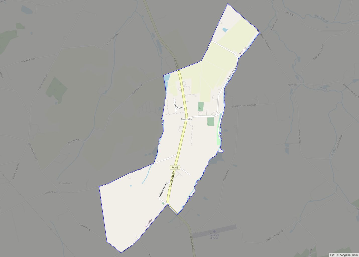
Numidia is a census-designated place (CDP) in Columbia County, Pennsylvania, United States. It is part of Northeastern Pennsylvania. The population was 244 at the 2010 census. It is part of the Bloomsburg-Berwick metropolitan area. Numidia CDP overview: Name: Numidia CDP LSAD Code: 57 LSAD Description: CDP (suffix) State: Pennsylvania County: Columbia County Elevation: 987 ft (301 m) ... Read more
