Northampton is a borough in Northampton County, Pennsylvania. Its population was 10,395 as of the 2020 census. Northampton is located 7.8 miles (12.6 km) north of Allentown, 66.7 miles (107.3 km) northwest of Philadelphia, and 93.8 miles (151.0 km) west of New York City.
The borough is part of the Lehigh Valley metropolitan area, which had a population of 861,899 and was the 68th-most populous metropolitan area in the U.S. as of the 2020 census.
| Name: | Northampton borough |
|---|---|
| LSAD Code: | 21 |
| LSAD Description: | borough (suffix) |
| State: | Pennsylvania |
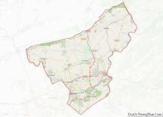
| County: | Northampton County |
| Elevation: | 328 ft (100 m) |
| Land Area: | 2.47 sq mi (6.40 km²) |
| Water Area: | 0.17 sq mi (0.43 km²) |
| Population Density: | 4,206.80/sq mi (1,624.56/km²) |
| ZIP code: | 18067 |
| FIPS code: | 4254696 |
| Website: | www.northamptonboro.com |
Online Interactive Map
Click on ![]() to view map in "full screen" mode.
to view map in "full screen" mode.
Northampton location map. Where is Northampton borough?


History
Northampton and surrounding areas of the Lehigh Valley are rich in limestone, which is commonly used in the production of cement. The Atlas Portland Cement Company, based here from 1895 to 1982, was the world’s largest cement company at one time, and one of dozens in the area. It produced some eight million barrels of cement for construction of the Panama Canal, which included most of the cement used on the canal’s construction. Atlas was bought by another company in 1980 and ceased operation here in 1982; its last smokestack here was demolished in 1993. Currently, technology and automation mean that the cement industry can manufacture a great amount of product with 150-200 workers, rather than the thousands who were required to work in these plants in the first half of the 20th century.
The Atlas Memorial Cement Museum was opened in 1997 in Northampton. It was founded by Edward Pany, who worked at the company in summers during the 1950s. His father, an immigrant from Austria, worked all his life at Atlas. Immigrant workers from Poland, Ukraine, and other eastern European nations also worked here. The museum commemorates the importance of the cement industry and Atlas Cement to the area.
Northampton Road Map
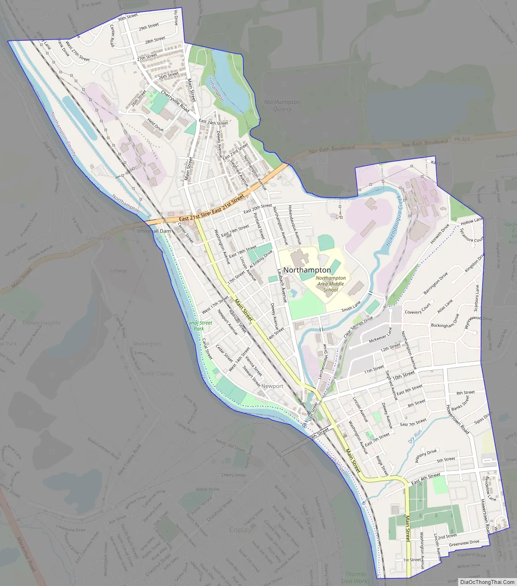
Northampton city Satellite Map

Geography
Northampton is located 8 miles (13 km) north of Allentown and 15 miles (24 km) west of Easton at 40°41′2″N 75°29′29″W / 40.68389°N 75.49139°W / 40.68389; -75.49139 (40.683896, -75.491353).
According to the U.S. Census Bureau, the borough has a total area of 2.7 square miles (7.0 km); 2.6 square miles (6.7 km) is land and 0.1 square miles (0.26 km) (3.70%), water. Northampton’s elevation is 370 feet (110 m) above sea level.
The Lehigh River, which separates Northampton County from Lehigh County, forms the borough’s western border.
Northampton has a hot summer humid continental climate (Dfa) and average monthly temperatures range from 28.8 °F in January to 73.7 °F in July. The local hardiness zone is 6b.
See also
Map of Pennsylvania State and its subdivision:- Adams
- Allegheny
- Armstrong
- Beaver
- Bedford
- Berks
- Blair
- Bradford
- Bucks
- Butler
- Cambria
- Cameron
- Carbon
- Centre
- Chester
- Clarion
- Clearfield
- Clinton
- Columbia
- Crawford
- Cumberland
- Dauphin
- Delaware
- Elk
- Erie
- Fayette
- Forest
- Franklin
- Fulton
- Greene
- Huntingdon
- Indiana
- Jefferson
- Juniata
- Lackawanna
- Lancaster
- Lawrence
- Lebanon
- Lehigh
- Luzerne
- Lycoming
- Mc Kean
- Mercer
- Mifflin
- Monroe
- Montgomery
- Montour
- Northampton
- Northumberland
- Perry
- Philadelphia
- Pike
- Potter
- Schuylkill
- Snyder
- Somerset
- Sullivan
- Susquehanna
- Tioga
- Union
- Venango
- Warren
- Washington
- Wayne
- Westmoreland
- Wyoming
- York
- Alabama
- Alaska
- Arizona
- Arkansas
- California
- Colorado
- Connecticut
- Delaware
- District of Columbia
- Florida
- Georgia
- Hawaii
- Idaho
- Illinois
- Indiana
- Iowa
- Kansas
- Kentucky
- Louisiana
- Maine
- Maryland
- Massachusetts
- Michigan
- Minnesota
- Mississippi
- Missouri
- Montana
- Nebraska
- Nevada
- New Hampshire
- New Jersey
- New Mexico
- New York
- North Carolina
- North Dakota
- Ohio
- Oklahoma
- Oregon
- Pennsylvania
- Rhode Island
- South Carolina
- South Dakota
- Tennessee
- Texas
- Utah
- Vermont
- Virginia
- Washington
- West Virginia
- Wisconsin
- Wyoming