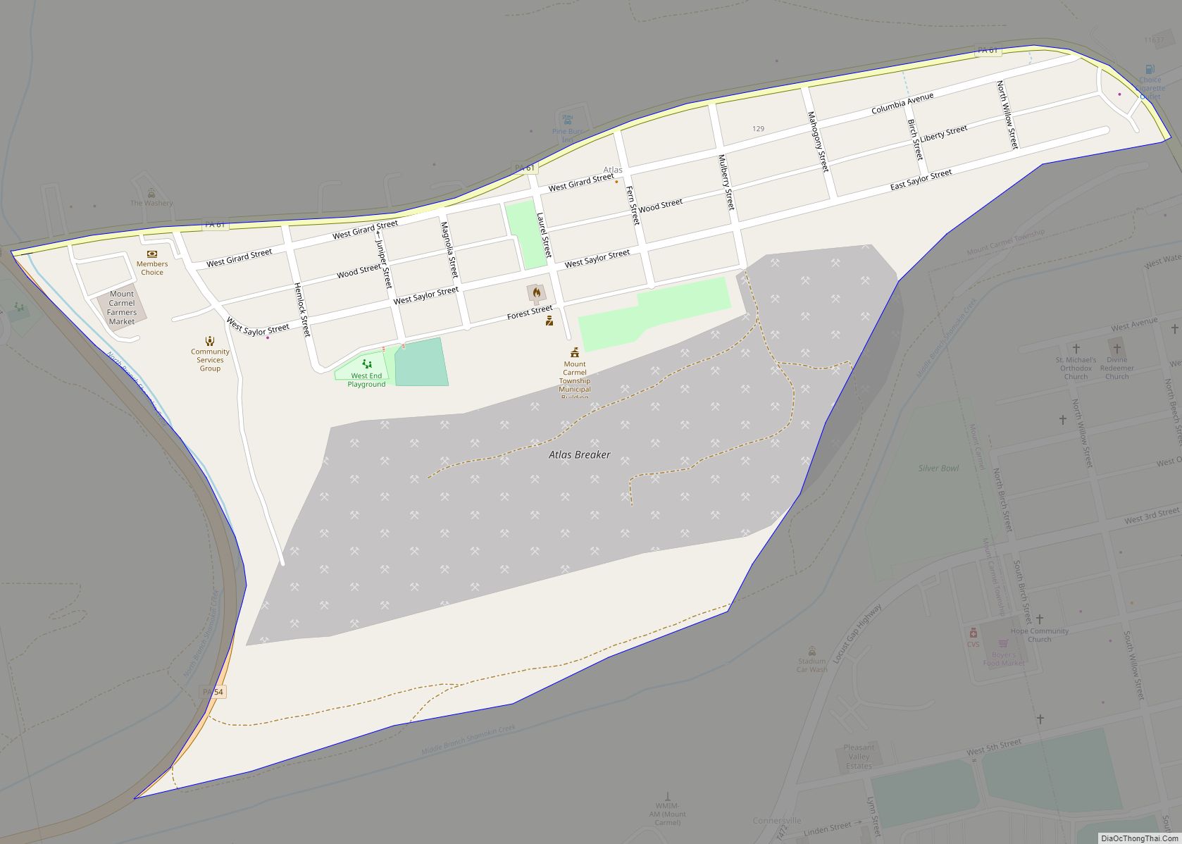
Northumberland is a borough in Northumberland County, Pennsylvania, United States. The population was 3,804 at the 2010 census.
| Name: | Northumberland borough |
|---|---|
| LSAD Code: | 21 |
| LSAD Description: | borough (suffix) |
| State: | Pennsylvania |
| County: | Northumberland County |
| Incorporated: | 1828 |
| Total Area: | 1.61 sq mi (4.17 km²) |
| Land Area: | 1.61 sq mi (4.17 km²) |
| Water Area: | 0.00 sq mi (0.00 km²) |
| Total Population: | 3,911 |
| Population Density: | 2,429.19/sq mi (937.77/km²) |
| ZIP code: | 17857 |
| Area code: | 570 and 272 |
| FIPS code: | 4255456 |
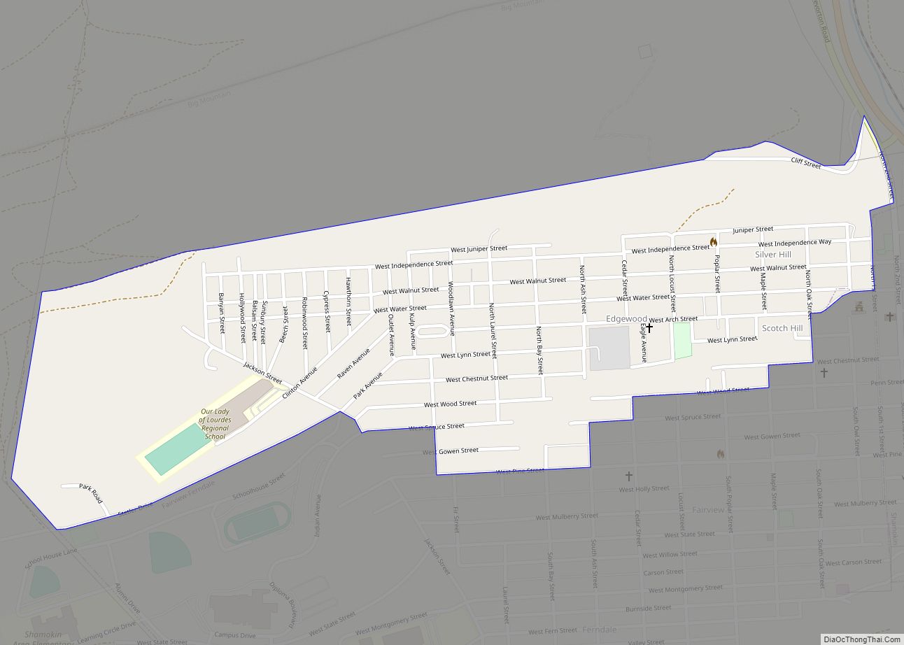
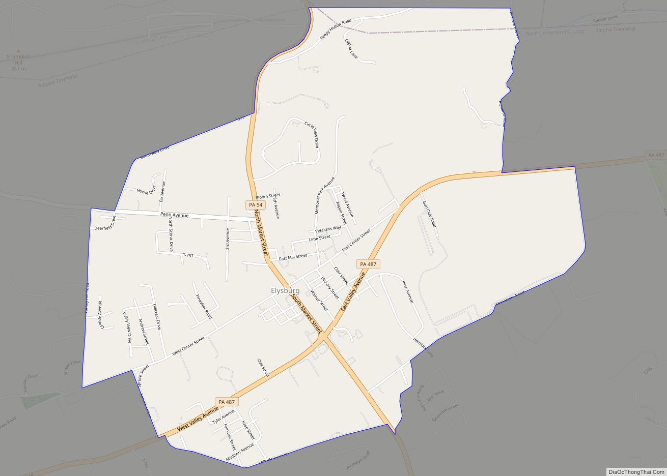
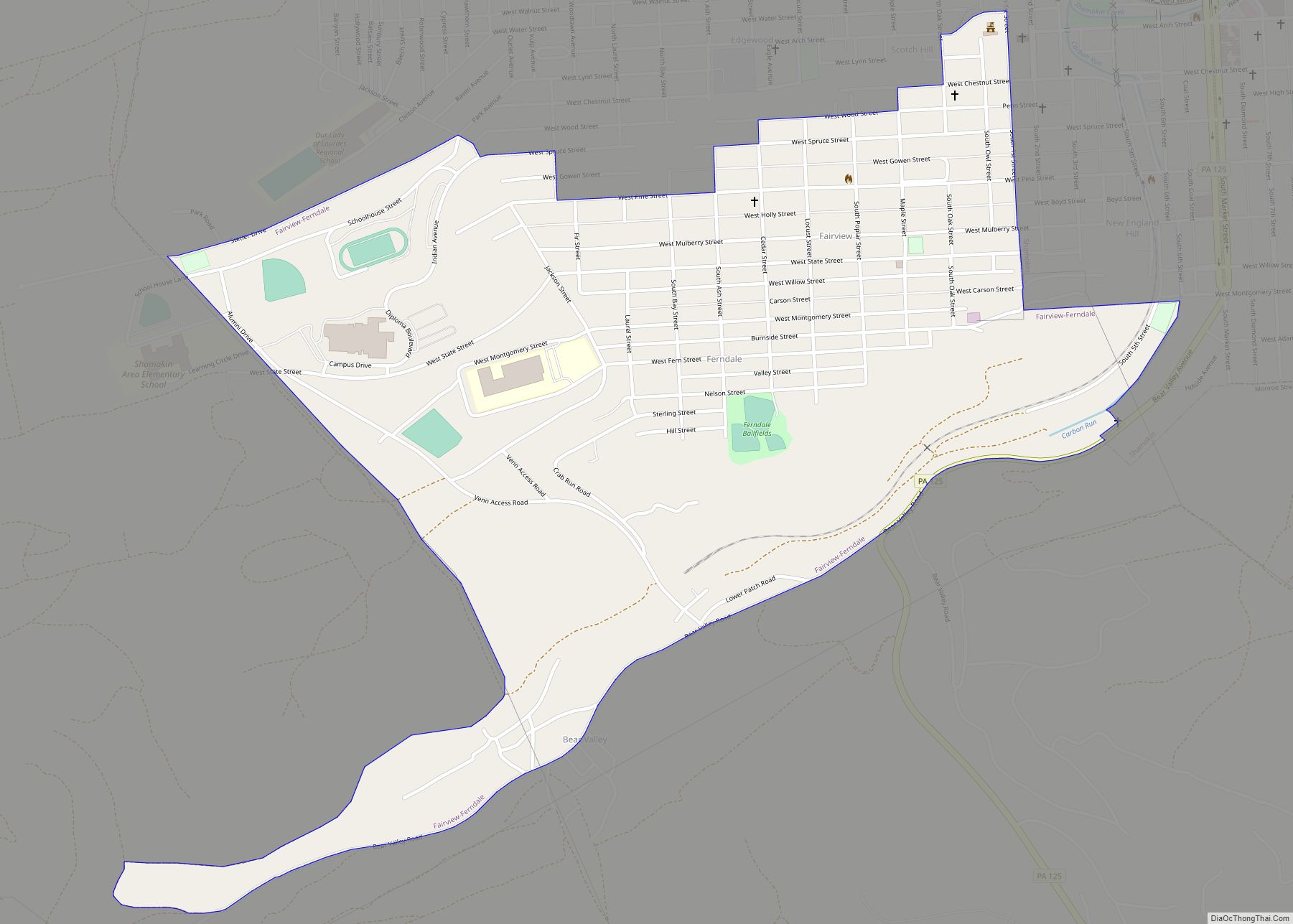
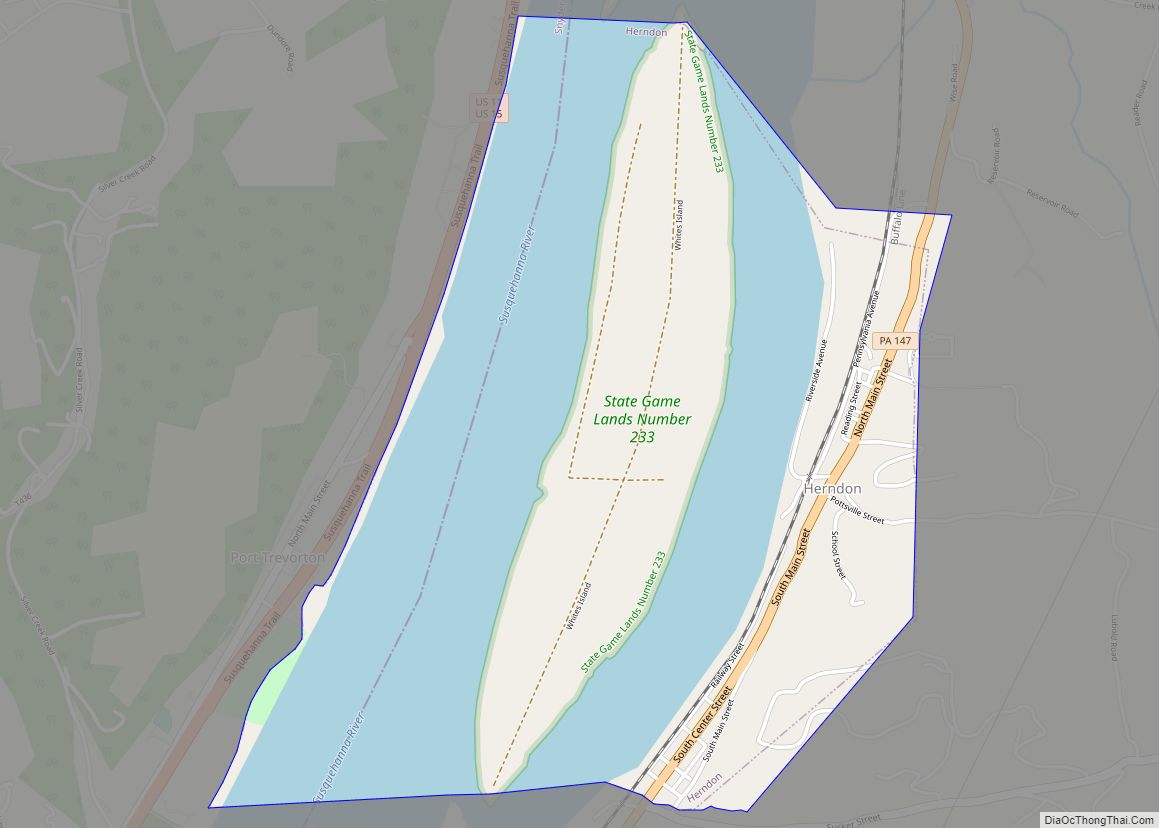
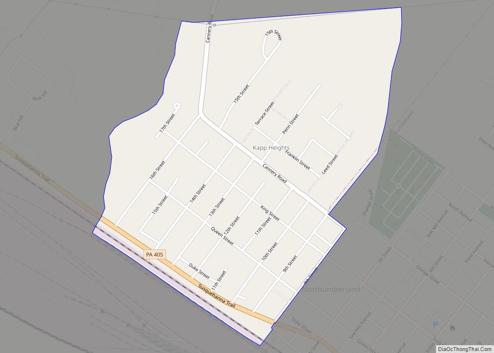
Online Interactive Map
Click on ![]() to view map in "full screen" mode.
to view map in "full screen" mode.
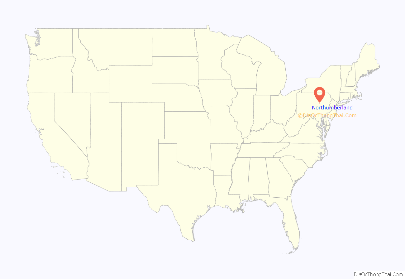
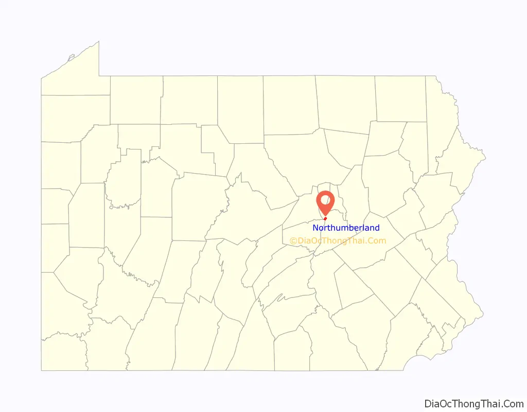
Northumberland location map. Where is Northumberland borough?
History
A brewer named Reuben Haines, a native of Philadelphia, Pennsylvania, founded the town of Northumberland in 1772, attempting to set it up as an English village. The land that became Northumberland was purchased from the Iroquois in the first Treaty of Fort Stanwix in 1768, and the village was laid out in 1772. During the American Revolution, Northumberland was evacuated during the Big Runaway in 1778, and only finally resettled in 1784.
Northumberland was the American home of eighteenth-century British theologian, Dissenting clergyman, natural philosopher, educator, and political theorist Joseph Priestley (1733–1804) from 1794 until his death in 1804. The Joseph Priestley House still stands on Priestley Avenue and is a National Historic Landmark on the National Register of Historic Places (NRHP) and a museum administered by the Pennsylvania Historical and Museum Commission. There is one other property in the borough on the NRHP: the Priestley-Forsyth Memorial Library, built by a great grandson of Joseph Priestley. Much of the borough is part of the Northumberland Historic District, which is also on the NRHP.
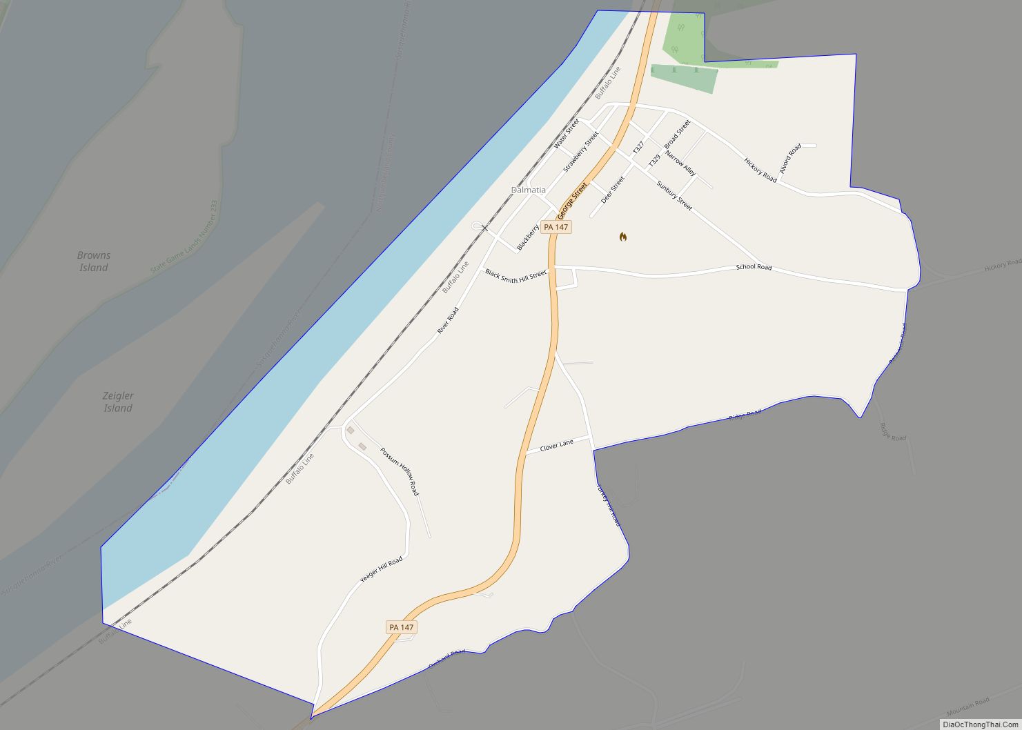
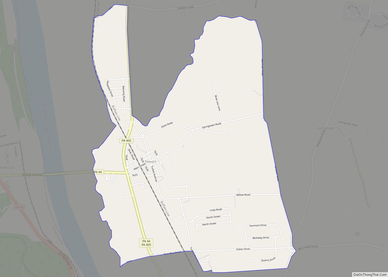
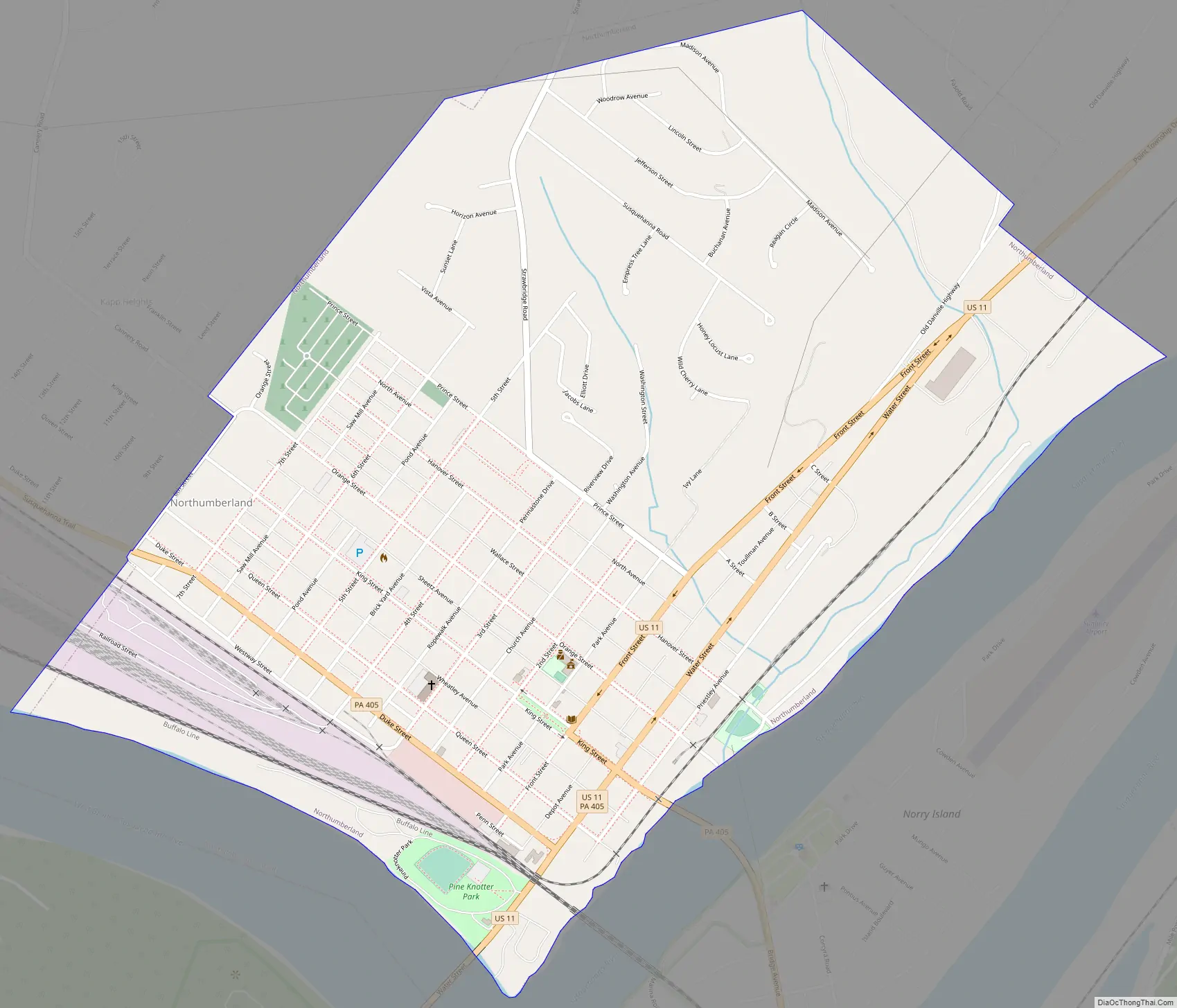
Northumberland Road Map
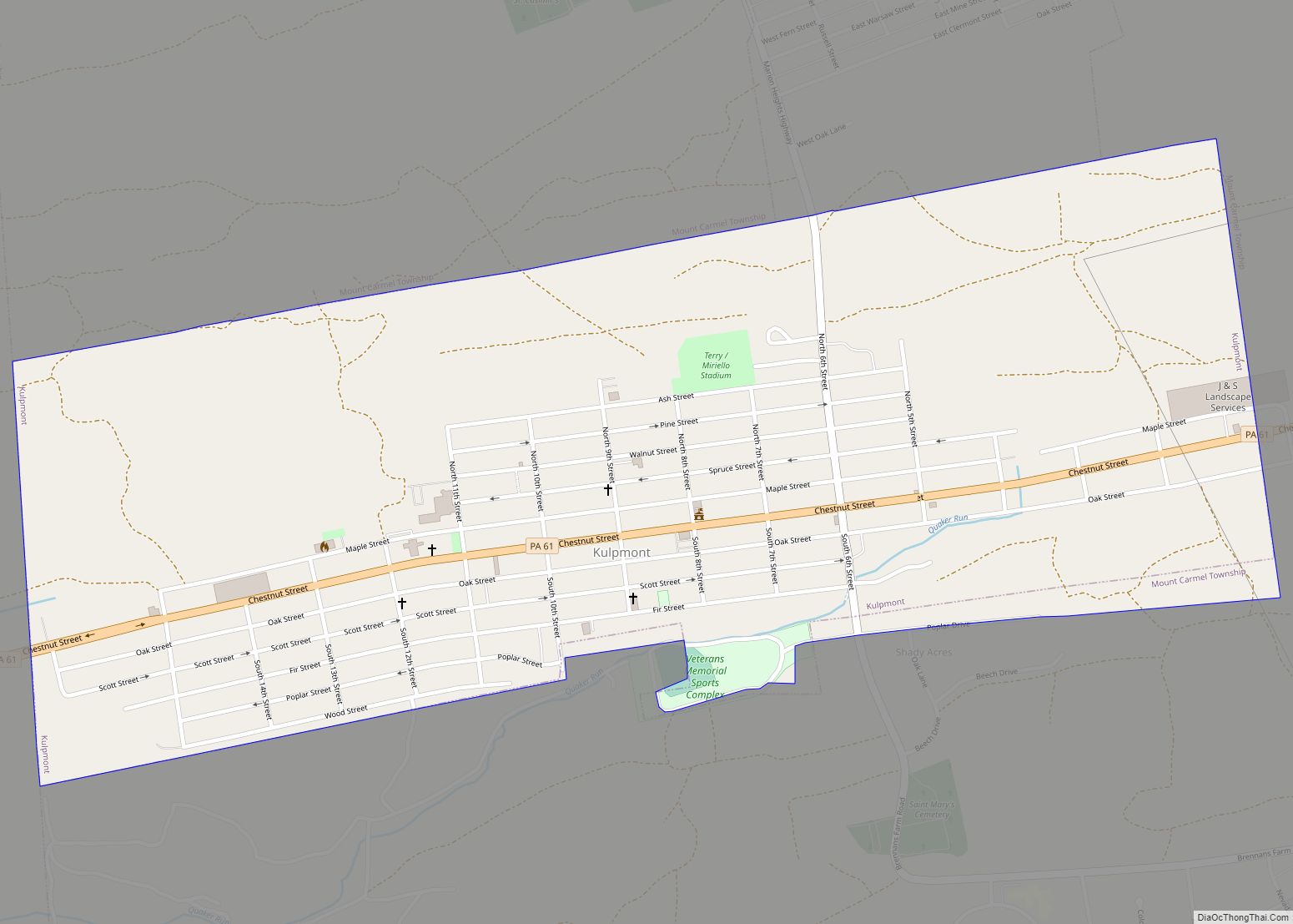
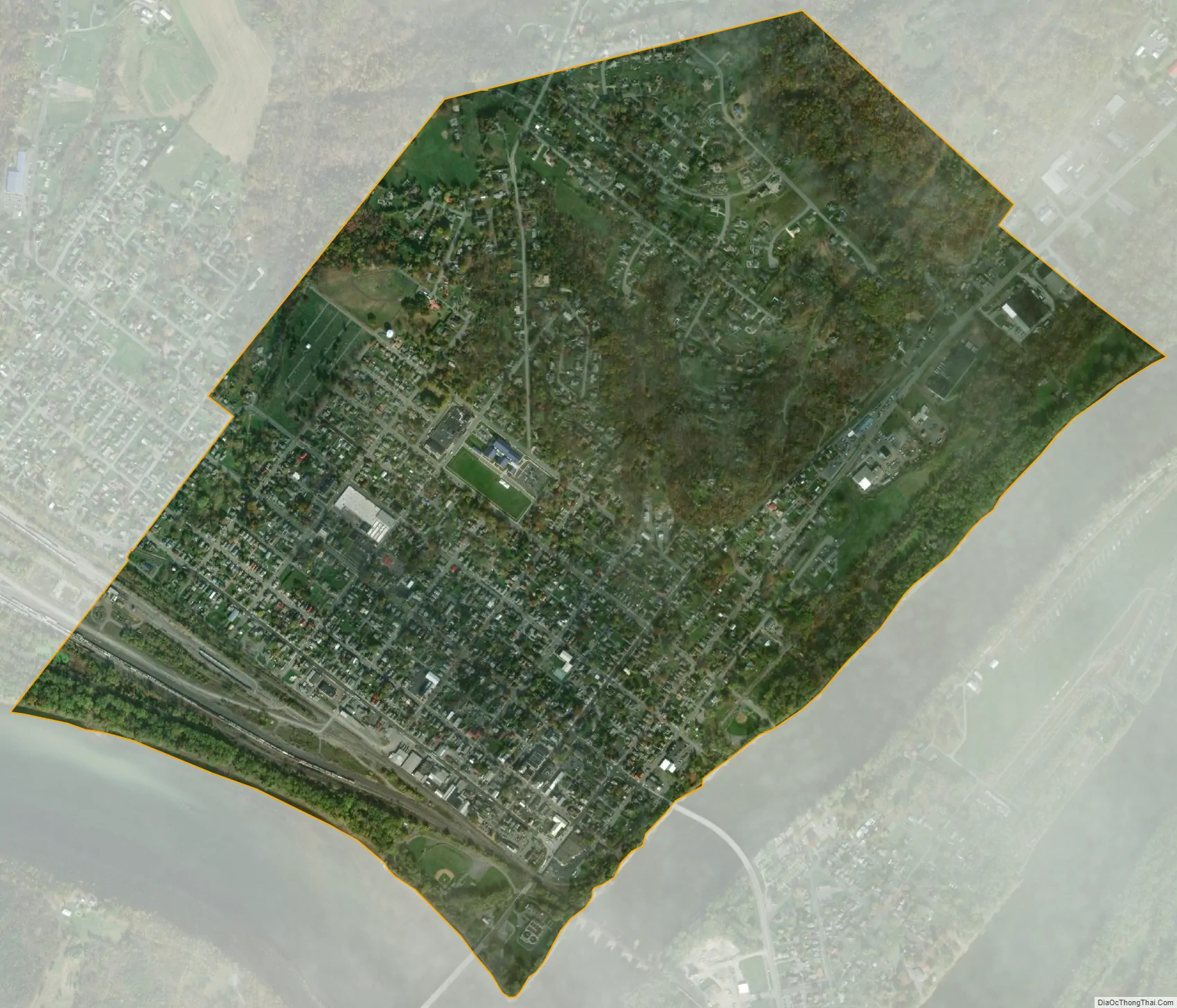
Northumberland city Satellite Map
Geography
Northumberland is located at 40°53′38″N 76°47′46″W / 40.89389°N 76.79611°W / 40.89389; -76.79611 (40.893935, -76.795975), approximately 60 miles northeast of Harrisburg. It sits at the confluence of the north and west branches of the Susquehanna River.
According to the U.S. Census Bureau, the borough has a total area of 1.6 square miles (4.1 km), all land.
See also
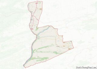
Map of Pennsylvania State and its subdivision:- Adams
- Allegheny
- Armstrong
- Beaver
- Bedford
- Berks
- Blair
- Bradford
- Bucks
- Butler
- Cambria
- Cameron
- Carbon
- Centre
- Chester
- Clarion
- Clearfield
- Clinton
- Columbia
- Crawford
- Cumberland
- Dauphin
- Delaware
- Elk
- Erie
- Fayette
- Forest
- Franklin
- Fulton
- Greene
- Huntingdon
- Indiana
- Jefferson
- Juniata
- Lackawanna
- Lancaster
- Lawrence
- Lebanon
- Lehigh
- Luzerne
- Lycoming
- Mc Kean
- Mercer
- Mifflin
- Monroe
- Montgomery
- Montour
- Northampton
- Northumberland
- Perry
- Philadelphia
- Pike
- Potter
- Schuylkill
- Snyder
- Somerset
- Sullivan
- Susquehanna
- Tioga
- Union
- Venango
- Warren
- Washington
- Wayne
- Westmoreland
- Wyoming
- York
- Alabama
- Alaska
- Arizona
- Arkansas
- California
- Colorado
- Connecticut
- Delaware
- District of Columbia
- Florida
- Georgia
- Hawaii
- Idaho
- Illinois
- Indiana
- Iowa
- Kansas
- Kentucky
- Louisiana
- Maine
- Maryland
- Massachusetts
- Michigan
- Minnesota
- Mississippi
- Missouri
- Montana
- Nebraska
- Nevada
- New Hampshire
- New Jersey
- New Mexico
- New York
- North Carolina
- North Dakota
- Ohio
- Oklahoma
- Oregon
- Pennsylvania
- Rhode Island
- South Carolina
- South Dakota
- Tennessee
- Texas
- Utah
- Vermont
- Virginia
- Washington
- West Virginia
- Wisconsin
- Wyoming