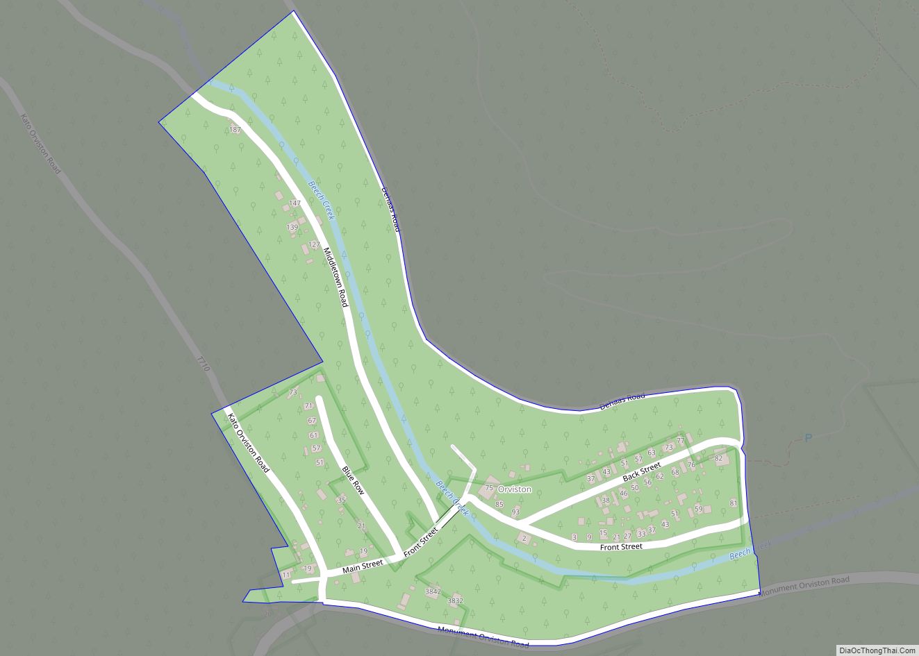
Orviston is an unincorporated community and census-designated place (CDP) in Curtin Township, Centre County, Pennsylvania, United States. As of the 2010 census, the population was 95. It is located in far northern Centre County, near the Clinton County border. Beech Creek runs through the center of the town, flowing southeast towards Bald Eagle Creek in ... Read more
Pennsylvania Cities and Places
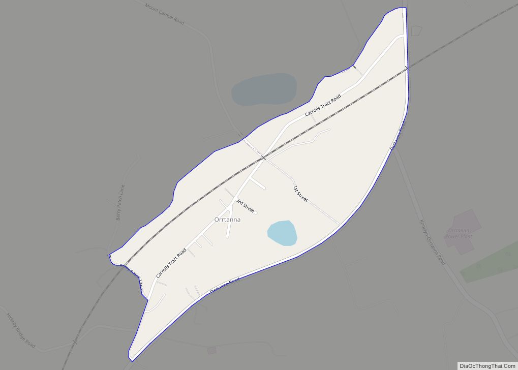
Orrtanna is a census-designated place (CDP) in Adams County, Pennsylvania, United States. The population was 183 at the 2020 census. Orrtanna CDP overview: Name: Orrtanna CDP LSAD Code: 57 LSAD Description: CDP (suffix) State: Pennsylvania County: Adams County Elevation: 670 ft (200 m) Total Area: 0.21 sq mi (0.53 km²) Land Area: 0.20 sq mi (0.53 km²) Water Area: 0.00 sq mi (0.01 km²) Total Population: ... Read more
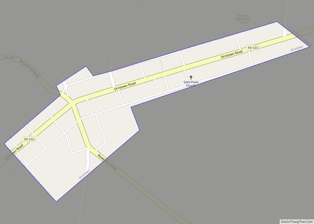
Orrstown is a borough in Franklin County, Pennsylvania, United States. The population was 214 at the 2020 census. Orrstown borough overview: Name: Orrstown borough LSAD Code: 21 LSAD Description: borough (suffix) State: Pennsylvania County: Franklin County Elevation: 686 ft (209 m) Total Area: 0.06 sq mi (0.16 km²) Land Area: 0.06 sq mi (0.16 km²) Water Area: 0.00 sq mi (0.00 km²) Total Population: 214 Population ... Read more
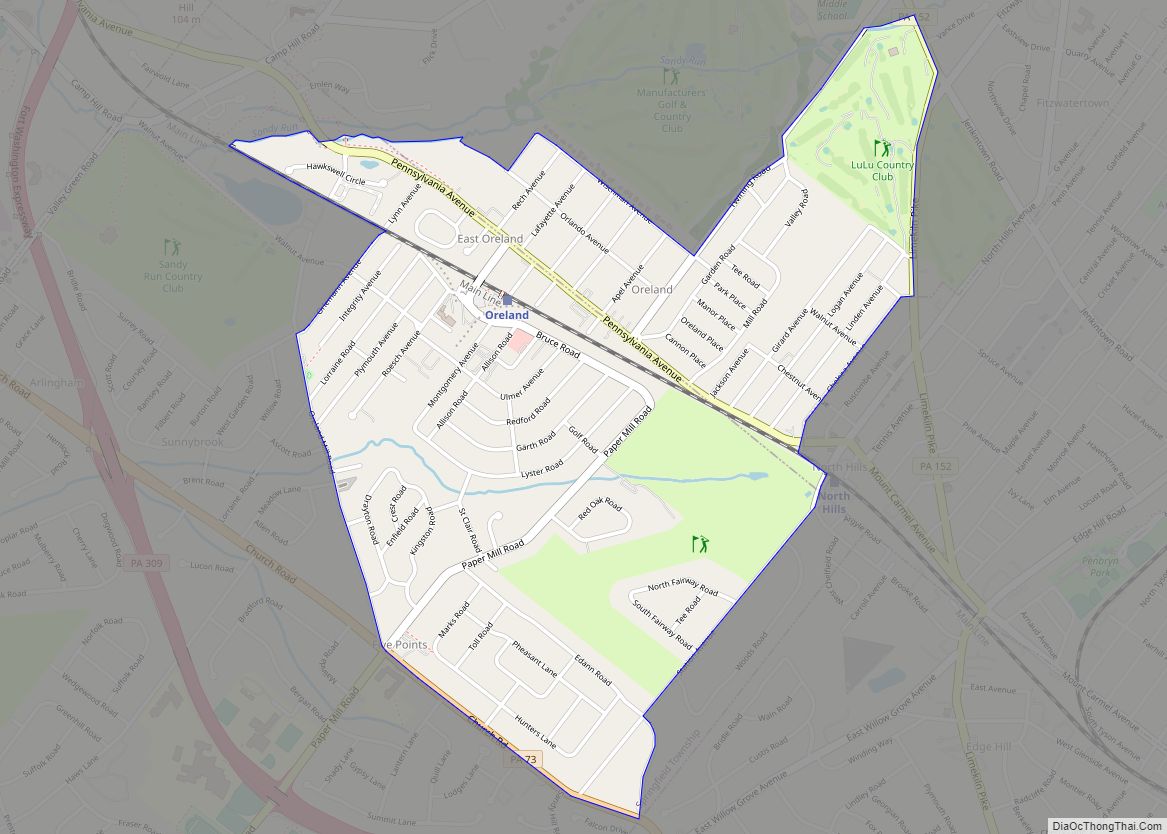
Oreland is a United States census-designated place (CDP) in Springfield and Upper Dublin townships, just outside the Chestnut Hill and Mount Airy areas of Philadelphia. Oreland has a ZIP code of 19075, and the population was 5,678 at the 2010 census. Oreland CDP overview: Name: Oreland CDP LSAD Code: 57 LSAD Description: CDP (suffix) State: ... Read more
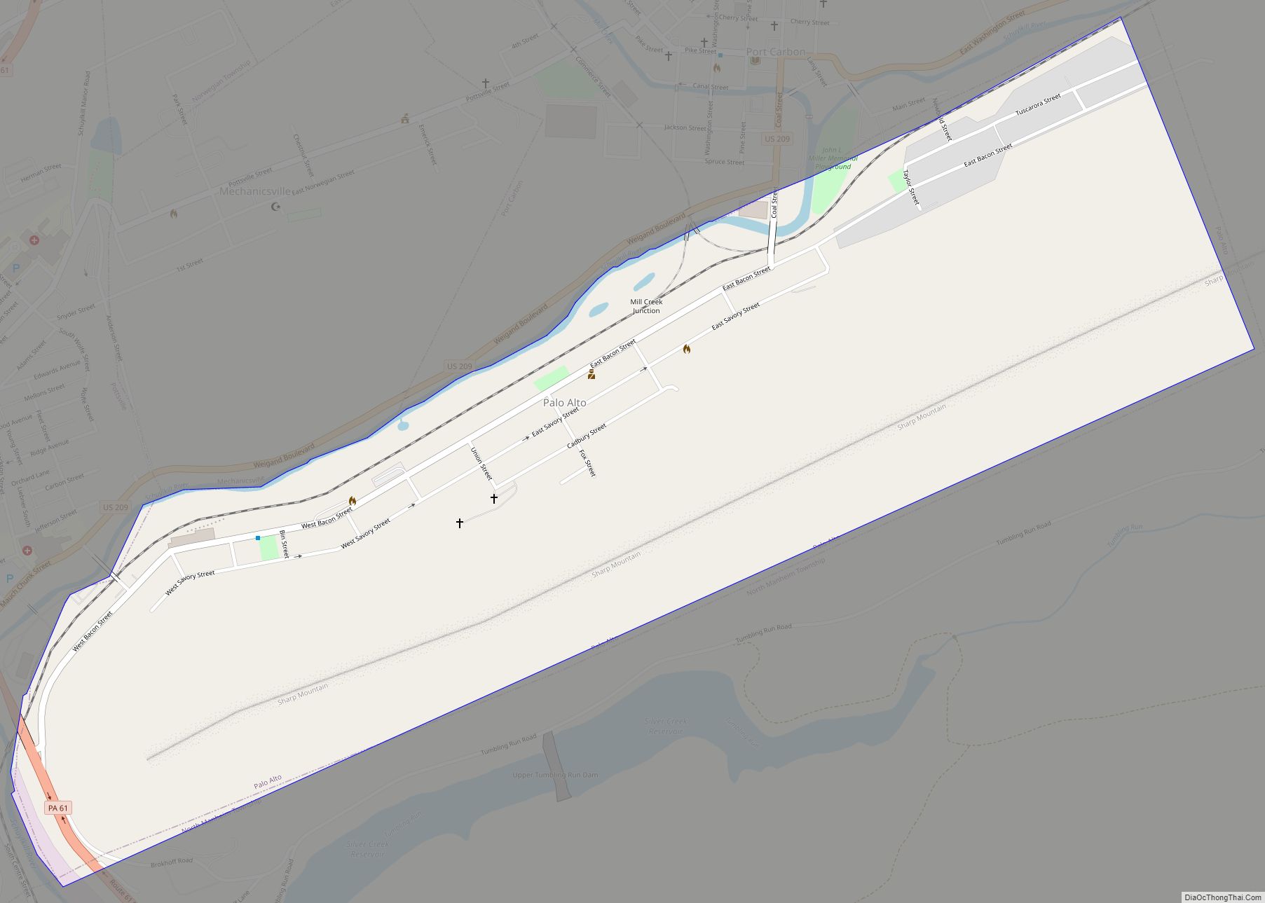
Palo Alto is a borough in Schuylkill County, Pennsylvania, United States. Bacon Street is the main street of town. This borough stretches along the south bank of the Schuylkill River, and maintains its own fire department and police department, but shares its zip code, telephone exchanges and school district with the city of Pottsville. The ... Read more
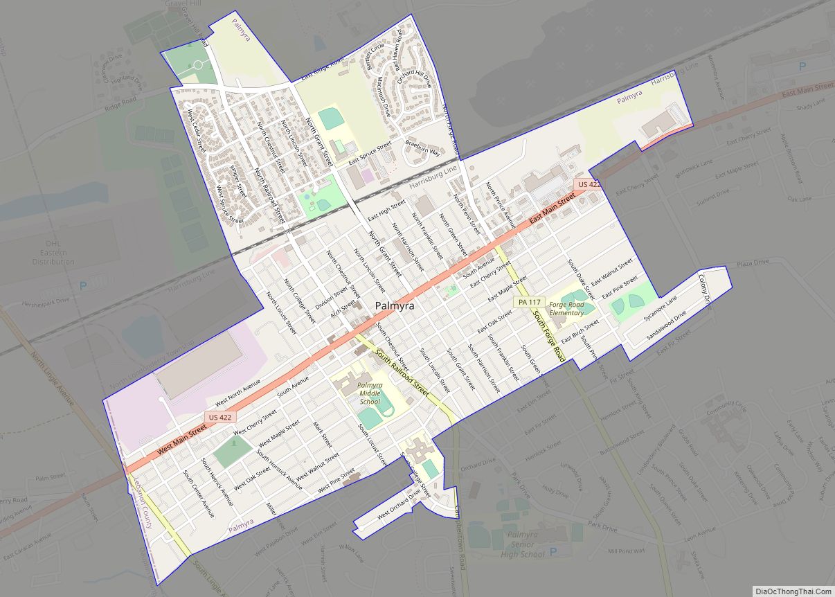
Palmyra (Pennsylvania German: Pallemschteddel) is a borough in Lebanon County, Pennsylvania, United States. It is part of the Lebanon, Pennsylvania Metropolitan statistical area. The population was 7,807 at the 2020 census. Palmyra borough overview: Name: Palmyra borough LSAD Code: 21 LSAD Description: borough (suffix) State: Pennsylvania County: Lebanon County Elevation: 456 ft (139 m) Total Area: 1.93 sq mi ... Read more
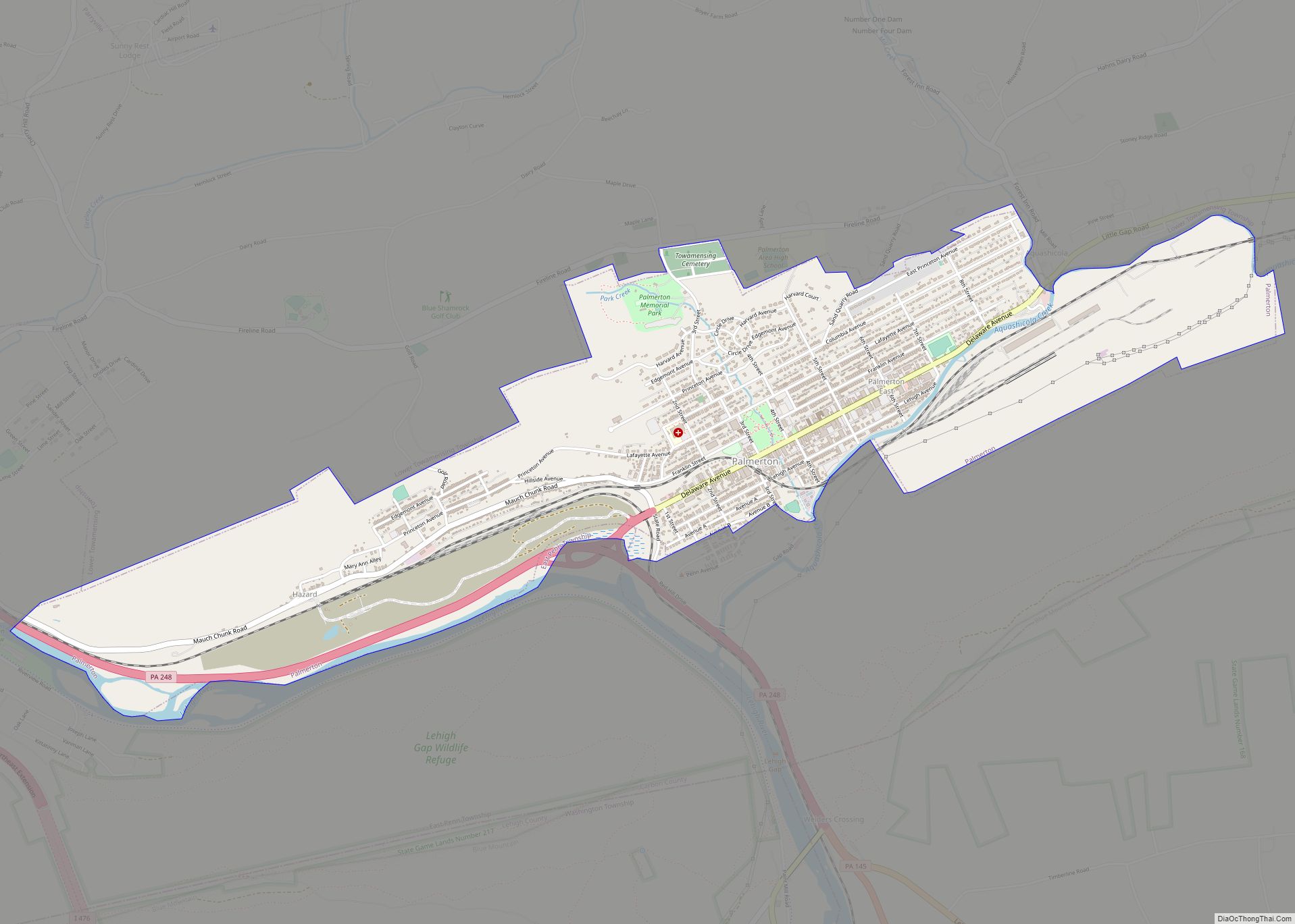
Palmerton is a borough in Carbon County, Pennsylvania, United States. It is part of Northeastern Pennsylvania. The borough’s population was 5,414 at the 2010 census. Palmerton is located 18.9 miles (30.4 km) northwest of Allentown and 86.6 miles (139.4 km) northwest of Philadelphia. Palmerton borough overview: Name: Palmerton borough LSAD Code: 21 LSAD Description: borough (suffix) State: ... Read more
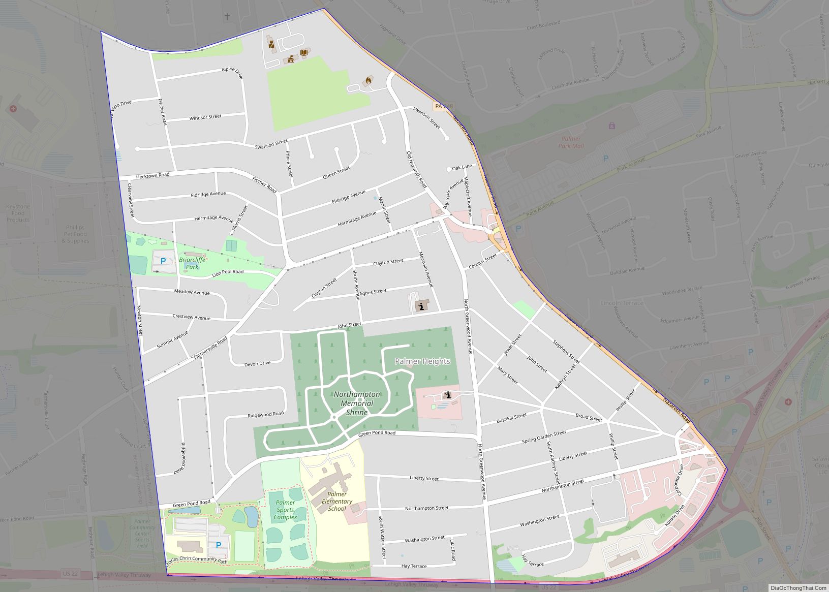
Palmer Heights is a census-designated place (CDP) in Palmer Heights, Pennsylvania. The population of Palmer Heights was 3,762 at the 2010 census. Palmer Heights is part of the Lehigh Valley, which had a population of 861,899 and was the 68th-most populous metropolitan area in the U.S. as of the 2020 census. Palmer Heights CDP overview: ... Read more
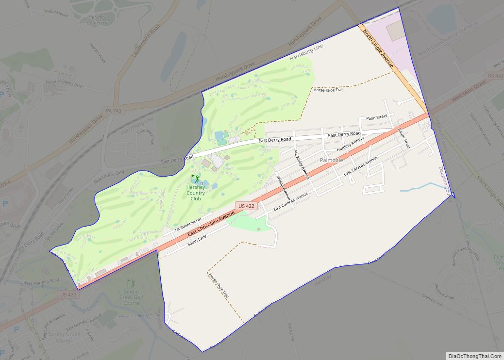
Palmdale is an unincorporated community and census-designated place (CDP) in Derry Township, Dauphin County, Pennsylvania, United States. As of the 2010 census the population was 1,308. Palmdale is in the Harrisburg–Carlisle metropolitan statistical area. Palmdale is in eastern Derry Township and is bordered to the north, west, and south by the community of Hershey. The ... Read more
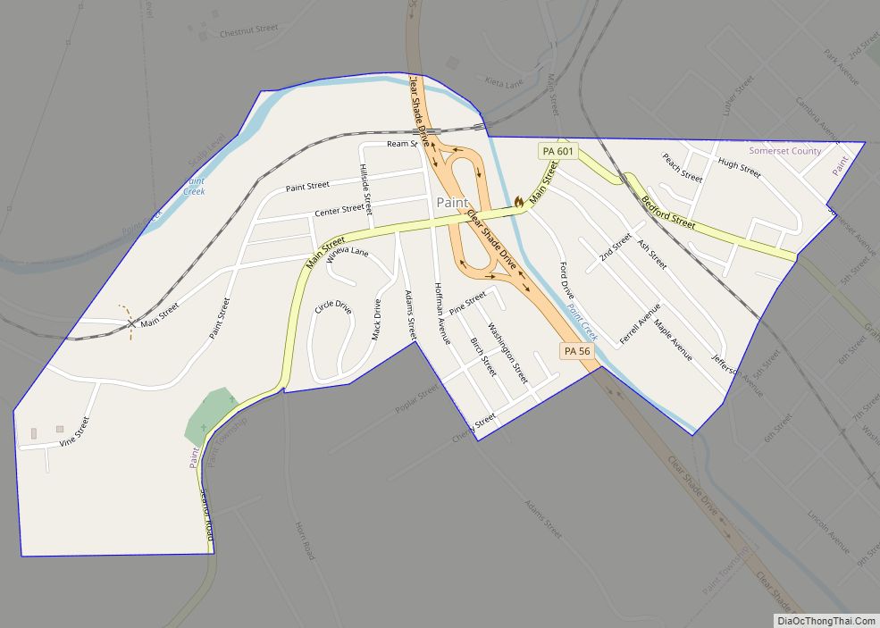
Paint is a borough in Somerset County, Pennsylvania, United States. The population was 907 at the 2020 census. It is part of the Johnstown, Pennsylvania Metropolitan Statistical Area. Paint borough overview: Name: Paint borough LSAD Code: 21 LSAD Description: borough (suffix) State: Pennsylvania County: Somerset County Incorporated: 1900 Total Area: 0.35 sq mi (0.90 km²) Land Area: 0.35 sq mi ... Read more
Oxford is a borough in Chester County, Pennsylvania, United States. Oxford is the closest town to Lincoln University. The population was 5,733 at the 2020 census. Oxford borough overview: Name: Oxford borough LSAD Code: 21 LSAD Description: borough (suffix) State: Pennsylvania County: Chester County Incorporated: 1833 Elevation: 535 ft (163 m) Total Area: 1.97 sq mi (5.09 km²) Land Area: ... Read more
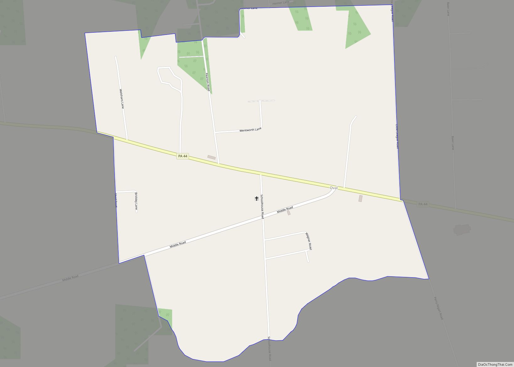
Oval is a census-designated place (CDP) in Limestone Township, Lycoming County, Pennsylvania, United States. As of the 2010 census, it had a population of 361. Oval is not a separately incorporated community, but is a part of Limestone Township (which is a municipality under Pennsylvania law). Oval is on Pennsylvania Route 44 in the north-central ... Read more
