Osceola Mills is a borough in Clearfield County, Pennsylvania, United States. The population was 1,045 at the 2020 census.
| Name: | Osceola Mills borough |
|---|---|
| LSAD Code: | 21 |
| LSAD Description: | borough (suffix) |
| State: | Pennsylvania |
| County: | Clearfield County |
| Incorporated: | 1864 |
| Elevation: | 1,525 ft (465 m) |
| Total Area: | 0.33 sq mi (0.86 km²) |
| Land Area: | 0.33 sq mi (0.86 km²) |
| Total Population: | 1,045 |
| Population Density: | 3,157.10/sq mi (1,219.92/km²) |
| ZIP code: | 16666 |
| Area code: | 814 |
| FIPS code: | 4257232 |
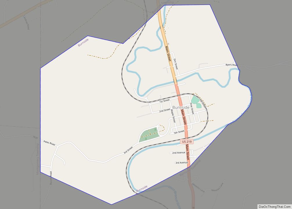
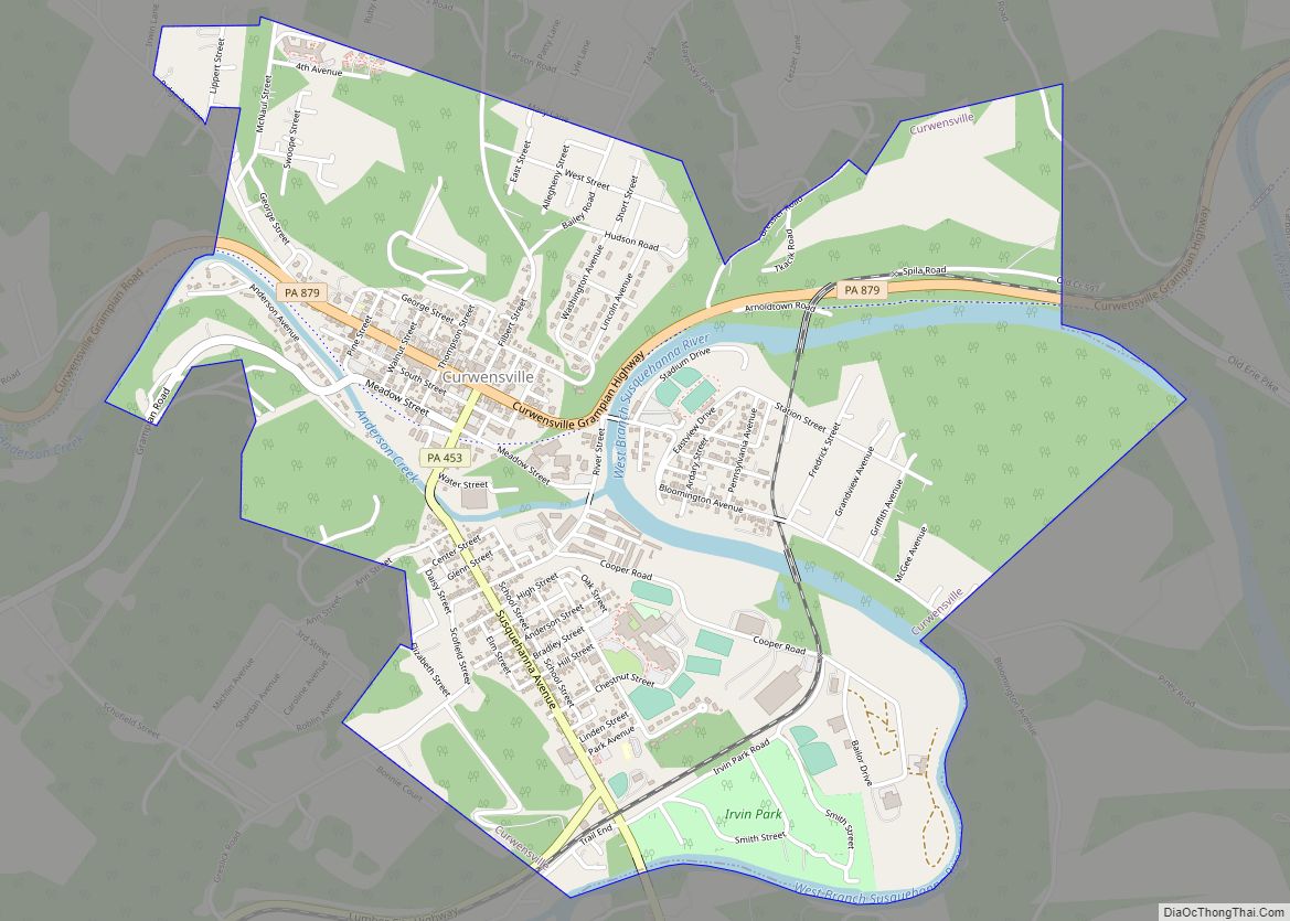
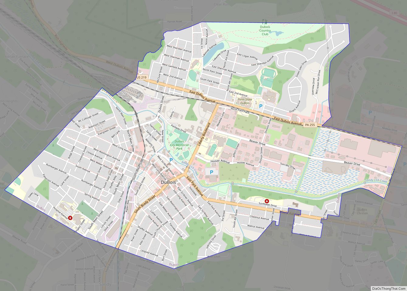
Online Interactive Map
Click on ![]() to view map in "full screen" mode.
to view map in "full screen" mode.
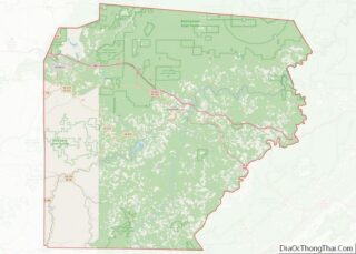
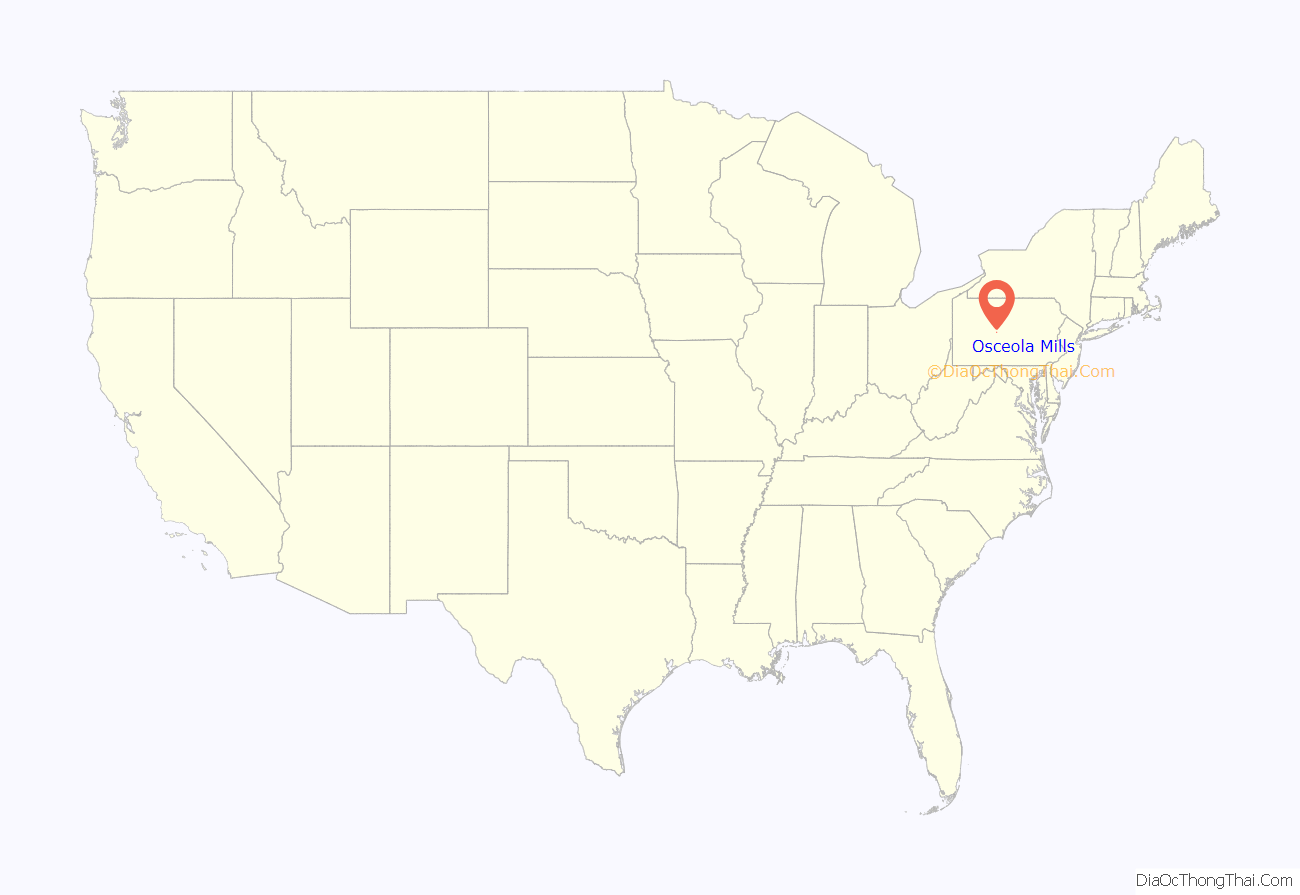
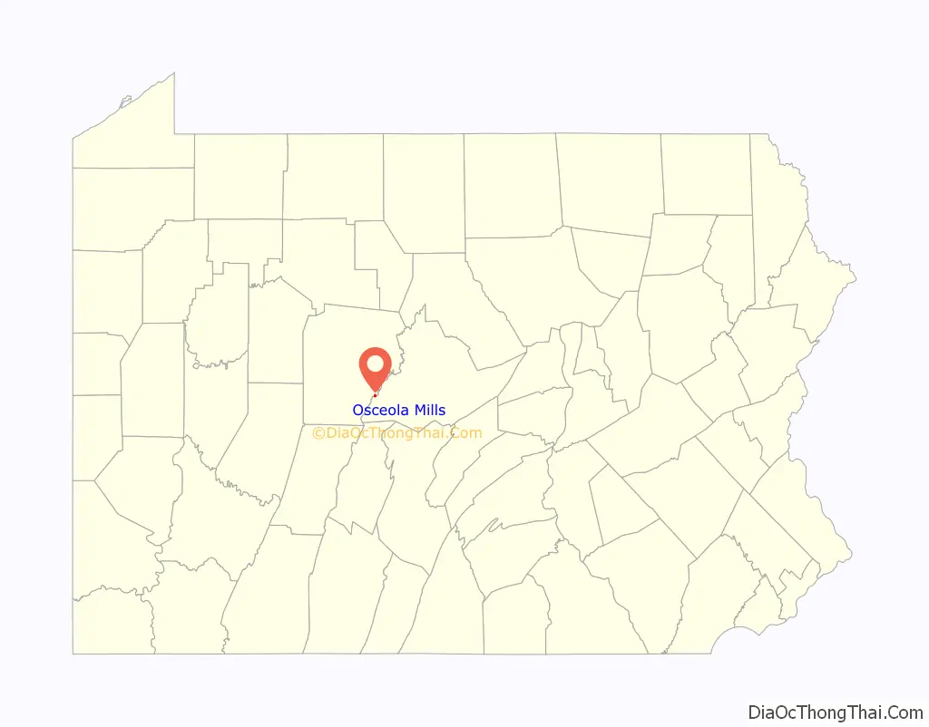
Osceola Mills location map. Where is Osceola Mills borough?
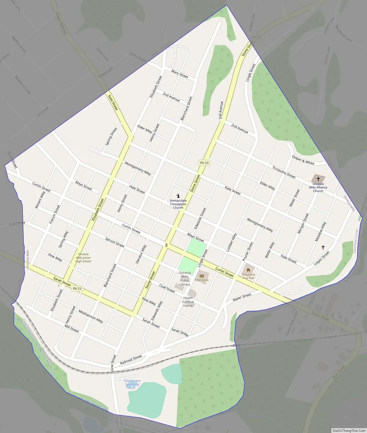
Osceola Mills Road Map
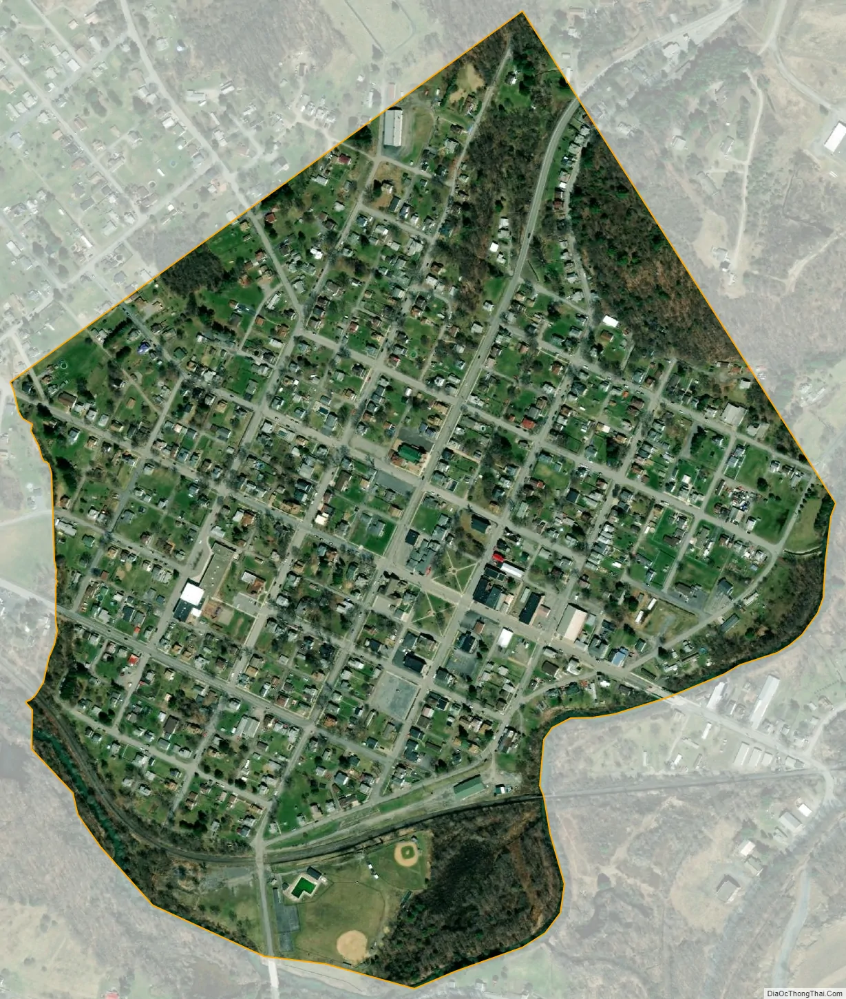
Osceola Mills city Satellite Map
Geography
Osceola Mills is located along the southeastern border of Clearfield County at 40°51′10″N 78°16′14″W / 40.85278°N 78.27056°W / 40.85278; -78.27056 (40.852870, -78.270455). It is on the north side of Moshannon Creek, which forms the boundary between Clearfield and Centre counties.
Pennsylvania Route 53 passes through Osceola Mills, leading northeast 4 miles (6 km) to Philipsburg and southwest 5 miles (8 km) to Houtzdale. Pennsylvania Route 970 crosses PA 53 in the center of town and leads northwest 20 miles (32 km) to Clearfield, the county seat, and southeast 4 miles (6 km) to Sandy Ridge.
According to the United States Census Bureau, Osceola Mills has a total area of 0.33 square miles (0.85 km), all land.
See also
Map of Pennsylvania State and its subdivision:- Adams
- Allegheny
- Armstrong
- Beaver
- Bedford
- Berks
- Blair
- Bradford
- Bucks
- Butler
- Cambria
- Cameron
- Carbon
- Centre
- Chester
- Clarion
- Clearfield
- Clinton
- Columbia
- Crawford
- Cumberland
- Dauphin
- Delaware
- Elk
- Erie
- Fayette
- Forest
- Franklin
- Fulton
- Greene
- Huntingdon
- Indiana
- Jefferson
- Juniata
- Lackawanna
- Lancaster
- Lawrence
- Lebanon
- Lehigh
- Luzerne
- Lycoming
- Mc Kean
- Mercer
- Mifflin
- Monroe
- Montgomery
- Montour
- Northampton
- Northumberland
- Perry
- Philadelphia
- Pike
- Potter
- Schuylkill
- Snyder
- Somerset
- Sullivan
- Susquehanna
- Tioga
- Union
- Venango
- Warren
- Washington
- Wayne
- Westmoreland
- Wyoming
- York
- Alabama
- Alaska
- Arizona
- Arkansas
- California
- Colorado
- Connecticut
- Delaware
- District of Columbia
- Florida
- Georgia
- Hawaii
- Idaho
- Illinois
- Indiana
- Iowa
- Kansas
- Kentucky
- Louisiana
- Maine
- Maryland
- Massachusetts
- Michigan
- Minnesota
- Mississippi
- Missouri
- Montana
- Nebraska
- Nevada
- New Hampshire
- New Jersey
- New Mexico
- New York
- North Carolina
- North Dakota
- Ohio
- Oklahoma
- Oregon
- Pennsylvania
- Rhode Island
- South Carolina
- South Dakota
- Tennessee
- Texas
- Utah
- Vermont
- Virginia
- Washington
- West Virginia
- Wisconsin
- Wyoming