Map of Newport CDP, South Carolina

Map of Newport CDP, South Carolina

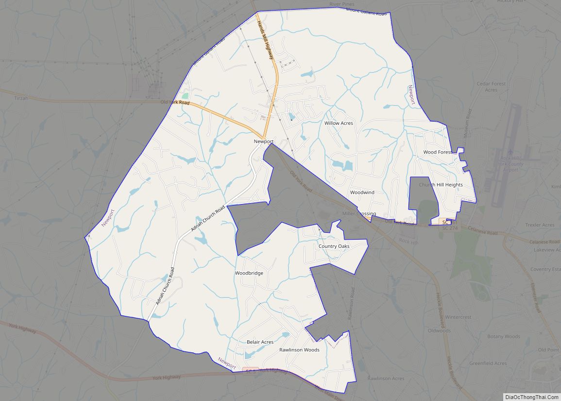
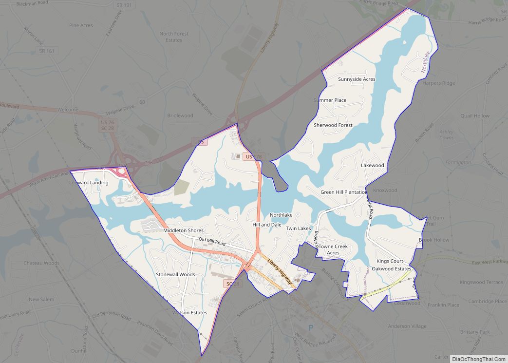
Newport is a census-designated place in York County, South Carolina. Most of Newport is annexed into the city of Rock Hill, while parts are still located in unincorporated York County, but Newport is still considered to be a census-designated place. The census of 2010 showed the population to be 4,136. During the 2000 Census, the … Read more

Map of Newberry city, South Carolina

Map of Newberry city, South Carolina

Newberry is a city in Newberry County, South Carolina, United States, in the Piedmont 43 miles (69 kilometers) northwest of Columbia. The charter was adopted in 1894. The population was 10,277 at the 2010 census. It is the county seat of Newberry County; at one time it was called Newberry Courthouse. Newberry became a city … Read more

Map of New Ellenton town

Map of New Ellenton town

New Ellenton is a city in Aiken County, South Carolina, United States. The population was 2,210 at the 2020 census. It is part of the Augusta, Georgia metropolitan area. New Ellenton town overview: Name: New Ellenton town LSAD Code: 43 LSAD Description: town (suffix) State: South Carolina County: Aiken County Elevation: 410 ft (125 m) Total Area: … Read more

Map of Neeses town

Map of Neeses town

Neeses is a town in Orangeburg County, South Carolina, United States. The population was 374 at the 2010 census. Neeses town overview: Name: Neeses town LSAD Code: 43 LSAD Description: town (suffix) State: South Carolina County: Orangeburg County Elevation: 341 ft (104 m) Total Area: 1.71 sq mi (4.42 km²) Land Area: 1.71 sq mi (4.42 km²) Water Area: 0.00 sq mi (0.00 km²) Total Population: … Read more

Map of Myrtle Beach city

Map of Myrtle Beach city

Myrtle Beach is a resort city on the east coast of the United States in Horry County, South Carolina. It is located in the center of a long and continuous 60-mile (97 km) stretch of beach known as the “Grand Strand in the northeastern part of the state. Its year-round population was 35,682 as of the … Read more

Map of Orangeburg city, South Carolina

Map of Orangeburg city, South Carolina

Orangeburg, also known as The Garden City, is the principal city in and the county seat of Orangeburg County, South Carolina, United States. The population of the city was 13,964 according to the 2010 United States Census and declined to 12,704 in the 2020 census. The city is located 37 miles southeast of Columbia, on … Read more

Map of Olar town

Map of Olar town

Olar is a town in Bamberg County, South Carolina, United States. The population was 257 at the 2010 census. Olar town overview: Name: Olar town LSAD Code: 43 LSAD Description: town (suffix) State: South Carolina County: Bamberg County Elevation: 203 ft (62 m) Total Area: 0.79 sq mi (2.03 km²) Land Area: 0.79 sq mi (2.03 km²) Water Area: 0.00 sq mi (0.00 km²) Total Population: … Read more

Map of Olanta town

Map of Olanta town

Olanta is a town in Florence County, South Carolina, United States. The population was 563 at the 2010 census, down from 613 in 2000. It is part of the Florence Metropolitan Statistical Area. Olanta town overview: Name: Olanta town LSAD Code: 43 LSAD Description: town (suffix) State: South Carolina County: Florence County Elevation: 112 ft (34 m) … Read more

Map of Oakland CDP, South Carolina

Map of Oakland CDP, South Carolina

Oakland is a census-designated place (CDP) in Sumter County, South Carolina, United States. The population was 1,272 at the 2000 census. It is included in the Sumter, South Carolina Metropolitan Statistical Area. Part of the area of the census-designated place is located within the Stateburg Historic District Oakland CDP overview: Name: Oakland CDP LSAD Code: … Read more

Map of Oak Grove CDP, South Carolina

Map of Oak Grove CDP, South Carolina

Oak Grove is a census-designated place (CDP) in Lexington County, South Carolina, United States. The population was 10,291 at the 2010 census. It is part of the Columbia Metropolitan Statistical Area. Oak Grove CDP overview: Name: Oak Grove CDP LSAD Code: 57 LSAD Description: CDP (suffix) State: South Carolina County: Lexington County Elevation: 341 ft (104 m) … Read more

Map of Norway town, South Carolina

Map of Norway town, South Carolina

Norway is a town in Orangeburg County, South Carolina, United States. The population was 337 at the 2010 census. Norway town overview: Name: Norway town LSAD Code: 43 LSAD Description: town (suffix) State: South Carolina County: Orangeburg County Elevation: 240 ft (70 m) Total Area: 0.80 sq mi (2.07 km²) Land Area: 0.79 sq mi (2.05 km²) Water Area: 0.01 sq mi (0.01 km²) Total Population: … Read more

Map of Northlake CDP, South Carolina

Map of Northlake CDP, South Carolina

Northlake is a census-designated place (CDP) in Anderson County, South Carolina, United States. The population was 3,745 at the 2010 census. Northlake CDP overview: Name: Northlake CDP LSAD Code: 57 LSAD Description: CDP (suffix) State: South Carolina County: Anderson County Elevation: 656 ft (200 m) Total Area: 5.20 sq mi (13.46 km²) Land Area: 4.14 sq mi (10.72 km²) Water Area: 1.06 sq mi (2.74 km²) … Read more