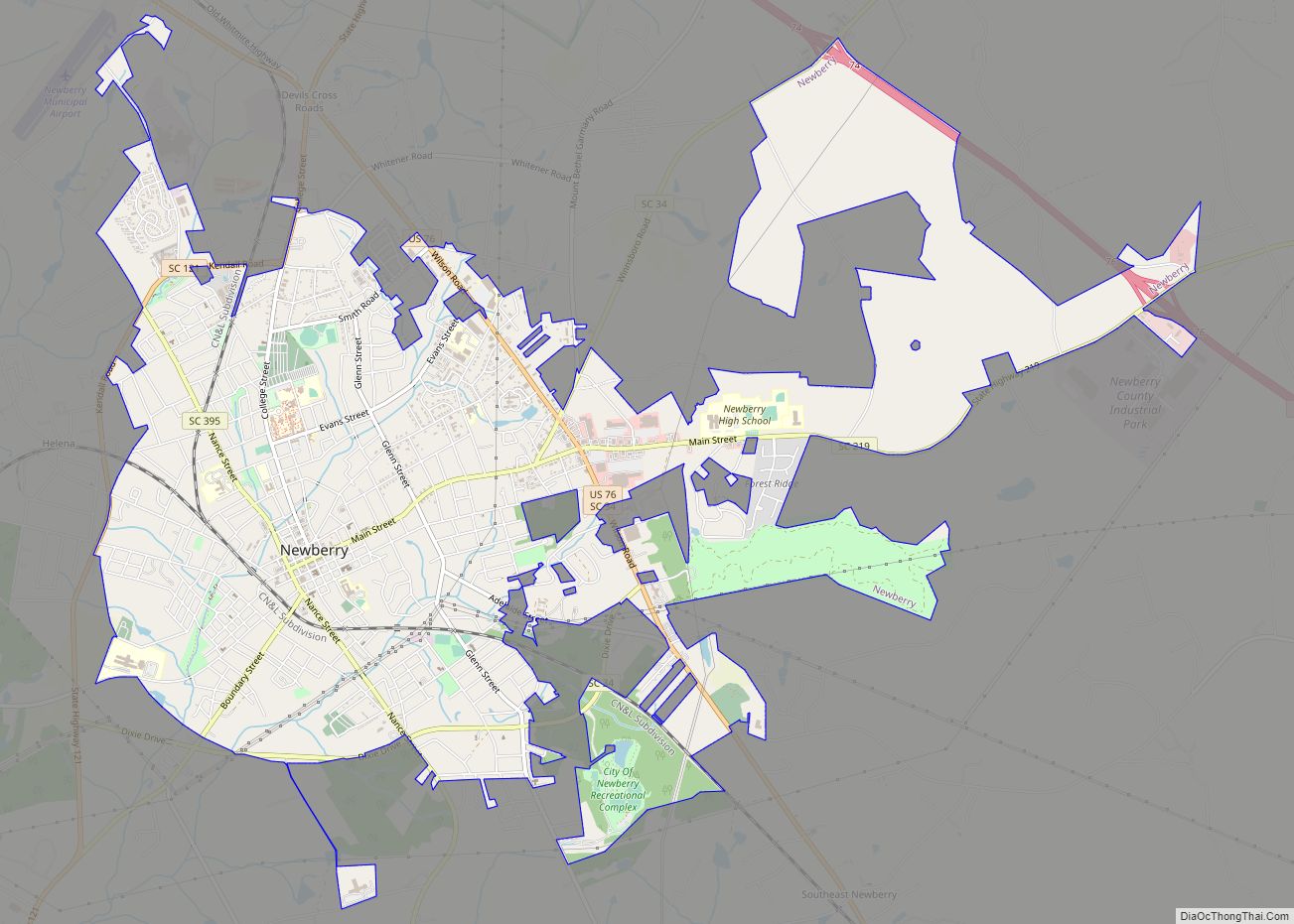
Newberry is a city in Newberry County, South Carolina, United States, in the Piedmont 43 miles (69 kilometers) northwest of Columbia. The charter was adopted in 1894. The population was 10,277 at the 2010 census. It is the county seat of Newberry County; at one time it was called Newberry Courthouse.
Newberry became a city in 1976, but did not report the change to the Census Bureau for more than twenty-five years. As a result, the city was listed as a town in the 2000 census.
It is the home of Newberry College, a private liberal-arts college affiliated with the Evangelical Lutheran Church in America.
| Name: | Newberry city |
|---|---|
| LSAD Code: | 25 |
| LSAD Description: | city (suffix) |
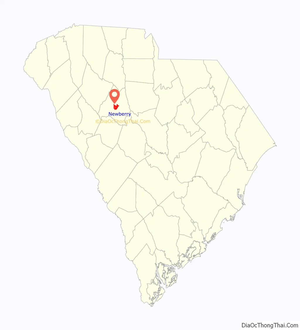
| State: | South Carolina |
| County: | Newberry County |
| Elevation: | 492 ft (150 m) |
| Total Area: | 9.00 sq mi (23.30 km²) |
| Land Area: | 8.99 sq mi (23.29 km²) |
| Water Area: | 0.00 sq mi (0.01 km²) |
| Total Population: | 10,691 |
| Population Density: | 1,188.95/sq mi (459.04/km²) |
| ZIP code: | 29108 |
| Area code: | 803, 839 |
| FIPS code: | 4549570 |
| GNISfeature ID: | 1249864 |
| Website: | www.cityofnewberry.com |
Online Interactive Map
Click on ![]() to view map in "full screen" mode.
to view map in "full screen" mode.
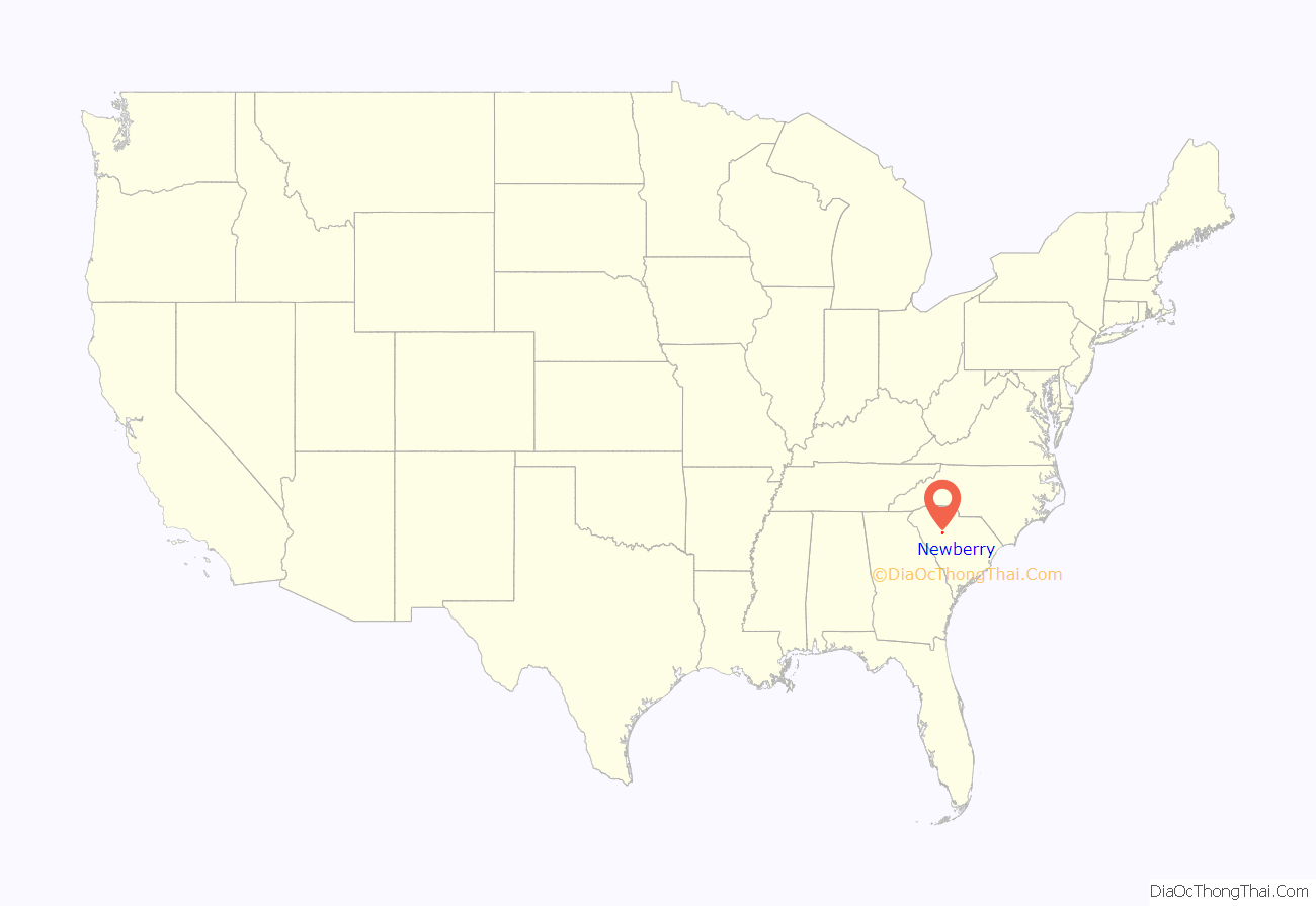
Newberry location map. Where is Newberry city?
History
European settlers (primarily German, Scots-Irish, and English) began arriving in great numbers in the 1750s. Newberry County was formed from the Ninety-Six District in 1785. Because of its central location, the town of Newberry was chosen in 1789 as the county seat for Newberry County, which was part of an extensive area of cotton plantations. County and town politics were dominated by planters. By the coming of the railroad in 1851, Newberry had become a thriving trade center. This remained the case until the 1860s.
During the American Civil War, Newberry College was used as a hospital for Confederate and later Union troops. The historic Newberry Court House was not burned by William Tecumseh Sherman’s troops as he swept through the South.
Violent racial incidents hit all over the country as part of the 1919 Red Summer. On July 24, 1919 there was the attempted lynching of Elisha Harper of Newberry. Harper was sent to jail for insulting a 14-year-old girl.
The Boundary Street-Newberry Cotton Mills Historic District, Burton House, Caldwell Street Historic District, Coateswood, College Street Historic District, Cousins House, Hannah Rosenwald School, Harrington Street Historic District, Francis B. Higgins House, Main Street Historic District, George Mower House, Newberry College Historic District, Newberry County Memorial Hospital, Newberry Historic District, Newberry Opera House, Oakland Mill, Old Courthouse, Ike Reighley House, Summer Brothers Stores, Timberhouse, Vincent Street Historic District, Wells Japanese Garden, Osborne Wells House, and West Boundary Street Historic District are listed on the National Register of Historic Places.
Newberry Road Map

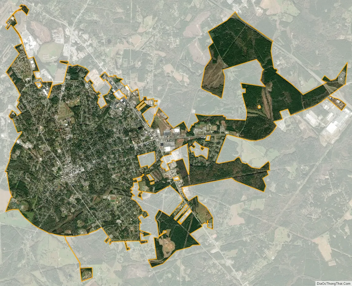
Newberry city Satellite Map
Geography
Newberry is located at 34°16′40″N 81°37′00″W / 34.277655°N 81.616560°W / 34.277655; -81.616560 (34.277655, -81.616560).
According to the United States Census Bureau, the town had a total area of 6.6 square miles (17.0 km), all land.
See also
Map of South Carolina State and its subdivision:- Abbeville
- Aiken
- Allendale
- Anderson
- Bamberg
- Barnwell
- Beaufort
- Berkeley
- Calhoun
- Charleston
- Cherokee
- Chester
- Chesterfield
- Clarendon
- Colleton
- Darlington
- Dillon
- Dorchester
- Edgefield
- Fairfield
- Florence
- Georgetown
- Greenville
- Greenwood
- Hampton
- Horry
- Jasper
- Kershaw
- Lancaster
- Laurens
- Lee
- Lexington
- Marion
- Marlboro
- McCormick
- Newberry
- Oconee
- Orangeburg
- Pickens
- Richland
- Saluda
- Spartanburg
- Sumter
- Union
- Williamsburg
- York
- Alabama
- Alaska
- Arizona
- Arkansas
- California
- Colorado
- Connecticut
- Delaware
- District of Columbia
- Florida
- Georgia
- Hawaii
- Idaho
- Illinois
- Indiana
- Iowa
- Kansas
- Kentucky
- Louisiana
- Maine
- Maryland
- Massachusetts
- Michigan
- Minnesota
- Mississippi
- Missouri
- Montana
- Nebraska
- Nevada
- New Hampshire
- New Jersey
- New Mexico
- New York
- North Carolina
- North Dakota
- Ohio
- Oklahoma
- Oregon
- Pennsylvania
- Rhode Island
- South Carolina
- South Dakota
- Tennessee
- Texas
- Utah
- Vermont
- Virginia
- Washington
- West Virginia
- Wisconsin
- Wyoming