Myrtle Beach is a resort city on the east coast of the United States in Horry County, South Carolina. It is located in the center of a long and continuous 60-mile (97 km) stretch of beach known as the “Grand Strand in the northeastern part of the state. Its year-round population was 35,682 as of the 2020 census.
Myrtle Beach is one of the major centers of tourism in South Carolina and the United States. The city’s warm subtropical climate, miles of beaches, 86 golf courses, and 1,800 restaurants attract over 20 million visitors each year, making Myrtle Beach one of the most visited destinations in the country.
Located along the historic King’s Highway (modern U.S. Route 17), the region was once home to the Waccamaw people. During the colonial period, the Whither family settled in the area, and a prominent local waterway, Wither’s Swash, is named in their honor. Originally called alternately “New Town” or “Withers”, the area was targeted for development as a resort community by Franklin Burroughs, whose sons completed a railroad to the beach and the first inn, Seaside Inn. His widow named the new community Myrtle Beach after the local wax-myrtle shrubs.
The Myrtle Beach metropolitan area is the one of fastest-growing metropolitan areas in the country, with a population of 551,126 as of the 2020 census. More than 104,000 people moved to the area over eight years, representing a nearly 28% growth in population.
| Name: | Myrtle Beach city |
|---|---|
| LSAD Code: | 25 |
| LSAD Description: | city (suffix) |
| State: | South Carolina |
| County: | Horry County |
| Land Area: | 23.42 sq mi (60.65 km²) |
| Water Area: | 0.27 sq mi (0.71 km²) |
| Population Density: | 1,523.76/sq mi (588.32/km²) |
| Area code: | 843 and 854 |
| FIPS code: | 4549075 |
| GNISfeature ID: | 1249770 |
| Website: | www.cityofmyrtlebeach.com |
Online Interactive Map
Click on ![]() to view map in "full screen" mode.
to view map in "full screen" mode.
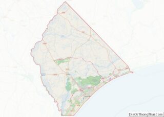
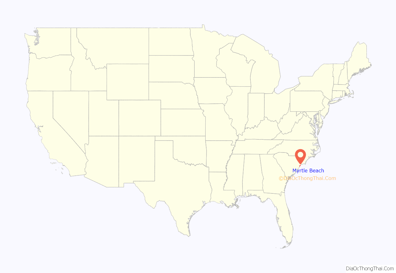
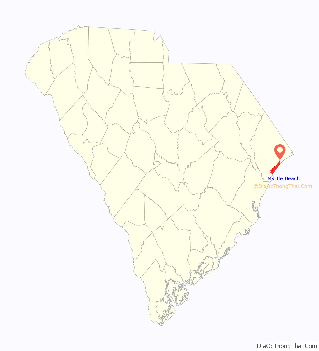
Myrtle Beach location map. Where is Myrtle Beach city?
History
Prior to the arrival of Europeans, the Long Bay area was inhabited by the historic Waccamaw tribe. The Waccamaw used the river for travel and fished along the shore around Little River. Waties Island, the primary barrier island along Long Bay, has evidence of burial and shell mounds, remains of the visiting Waccamaw.
The first European settlers along Long Bay arrived in the late 18th century, attempting to extend the plantation system outward toward the ocean. Records are sparse from this period, with most of the recorded history pieced together from English colonial land grant documents. These settlers gained mixed results, producing unremarkable quantities of indigo and tobacco, the two major commodity crops. The coast’s soil was sandy and most of the crop yields were of inferior quality.
Prior to the American Revolution, the area along the future Grand Strand was essentially uninhabited. Several families received land grants along the coast, including the Witherses: John, Richard, William, and Mary. This family received an area around present-day Wither’s Swash, also known as Myrtle Swash or the Eight-Mile Swash. A separate grant was granted to James Minor, including a barrier island named Minor Island, now Waties Island, off the coast near Little River.
Mary Withers’s gravestone at Prince George Winyah Parish Church speaks to the remoteness of the former Strand: “She gave up the pleasures of Society and retired to Long Bay, where she resided a great part of her life devoted to the welfare of her children.”
As the American colonies gained independence, the area remained essentially unchanged, and the coast remained barren. George Washington scouted out the Southern states during his term, traveling down the King’s Highway. He stayed a night at Windy Hill (part of present-day North Myrtle Beach) and was led across Wither’s Swash to Georgetown by Jeremiah Vereen.
The Withers family remained one of the few settlers around Myrtle Beach for the next half-century. In 1822, a strong hurricane swept the house of R. F. Withers into the ocean, drowning 18 people inside. The tragedy made the Withers family decide to abandon their plots along the coast. Left unattended, the area began to return to forest.
The Burroughs and Collins Company of Conway, predecessor of modern-day Burroughs & Chapin, purchased much of the Withers family’s land in 1881. The growing community was called “New Town” around the start of the 20th century. A post office named “Withers” was established to serve the site of the old Swash in 1888. On 28 February 1899, Burroughs and Collins received a charter to build the Conway & Seashore Railroad to transport timber from the coast to inland customers. The railroad began daily service on 1 May 1900, with two wood-burning locomotives. One of the engines was dubbed The Black Maria and came second-hand from a North Carolina logging operation.
After the railroad was finished, employees of the lumber and railroad company would take train flatcars down to the beach area on their free weekends, becoming the first Grand Strand tourists. The railroad terminus was nicknamed “New Town”, contrasting it with the “Old Town”, or Conway.
Around the start of the 20th century, Franklin Burroughs envisioned turning New Town into a tourist destination rivaling the Florida and northeastern beaches. Burroughs died in 1897, but his sons completed the railroad’s expansion to the beach and opened the Seaside Inn in 1901.
Around 1900, a contest was held to name the area, and Burroughs’s wife suggested honoring the locally abundant shrub, the southern wax myrtle (Myrica cerifera). The Withers post office changed its name to “Myrtle Beach” soon afterward. It incorporated as a town in 1938 and as a city in 1957.
In 1937, Myrtle Beach Municipal Airport was built. It was taken over by the United States Army Air Corps in 1940 and converted into a military base. Commercial flights began in 1976 and shared the runway for over 15 years until the air base closed in 1993. Since then the airport has been named Myrtle Beach International Airport. In 2010 plans to build a new terminal were approved. In 1940, Kings Highway was finally paved, giving Myrtle Beach its first primary highway.
The Myrtle Heights-Oak Park Historic District, Myrtle Beach Atlantic Coast Line Railroad Station, Ocean Forest Country Club and Pleasant Inn are listed on the National Register of Historic Places. Also listed were the Chesterfield Inn, Rainbow Court and the Myrtle Beach Pavilion, all now demolished. The Gay Dolphin Gift Cove on the Boardwalk was built in 1946 and sells seashells and Myrtle Beach souvenirs. It claims to be the “nation’s largest gift shop”.
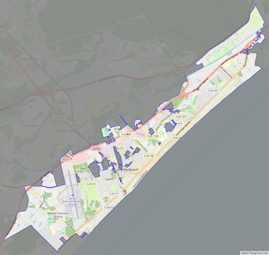
Myrtle Beach Road Map
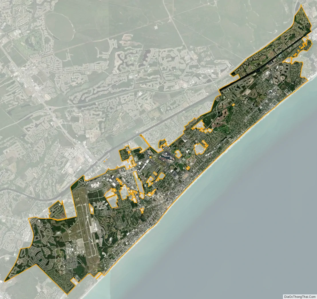
Myrtle Beach city Satellite Map
Geography
Myrtle Beach has been separated from the continental United States since 1936 by the Intracoastal Waterway, forcing the city and area in general to develop within a small distance from the coast. In part due to this separation, the area directly northwest of Myrtle Beach, across the waterway, remained primarily rural for a while, whereas its northeastern and southwestern ends were bordered by other developed tourist towns, North Myrtle Beach and Surfside Beach. Since then, the inland portion of the Myrtle Beach area has developed dramatically.
Myrtle Beach is 67 miles (108 km) by highway southeast of Florence, South Carolina, 94 miles (151 km) northeast of Charleston, South Carolina, and 74 miles (119 km) southwest of Wilmington, North Carolina.
According to the United States Census Bureau, the city has an area of 23.6 square miles (61.0 km), of which 23.3 square miles (60.4 km) are land and 0.2 square miles (0.6 km), or 1.03%, are water.
Neighborhoods
- Arcadian Shores
- Benton Park
- Booker T. Washington
- Carrie May Johnson
- Carver
- Chestnut Hill
- Dogwood
- Dunes Cove
- East Chester
- Fantasy Harbour
- Forest Acres
- Forest Dunes
- Futrell Park
- Grande Dunes
- Green Bay Park
- Harlem
- Highlands
- Hurl Rocks
- Konig
- Market Common
- Myrtlewood
- Myrtle Heights
- Northwood
- Ocean Forest
- Ocean View
- Old Pine Lakes
- Owens
- Pebble Beach
- Pine Lake Estates
- Pine Lakes
- Plantation Point
- Racepath
- Ramsey Acres
- Seagate Village
- Springmaid Beach
- The Dunes
- Washington Park
- Withers Preserve
- Withers Swash
- Yaupon Circle
Suburbs
- Carolina Forest
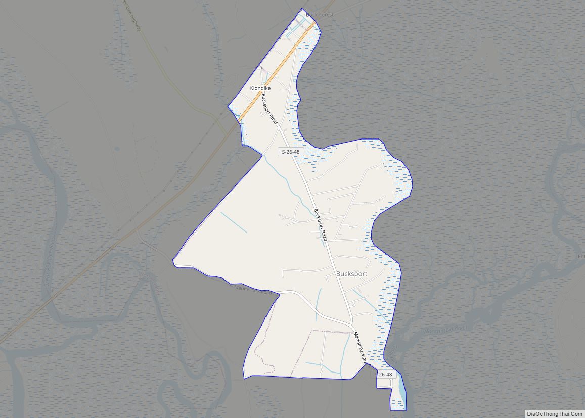
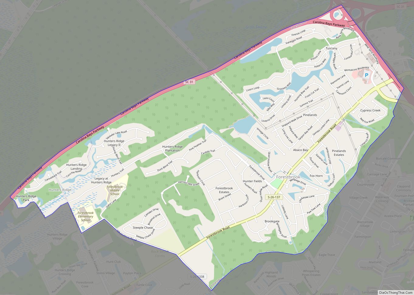
- Forestbrook
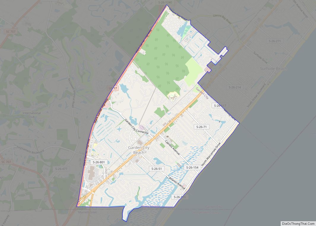
- Garden City
- Garden City Beach
- Murrells Inlet
- Socastee
- Surfside Beach
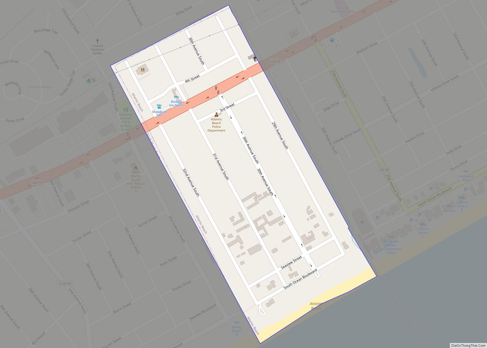
- Atlantic Beach
- Red Hill
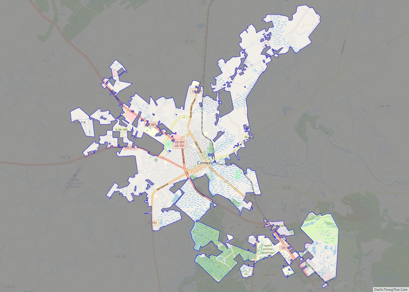
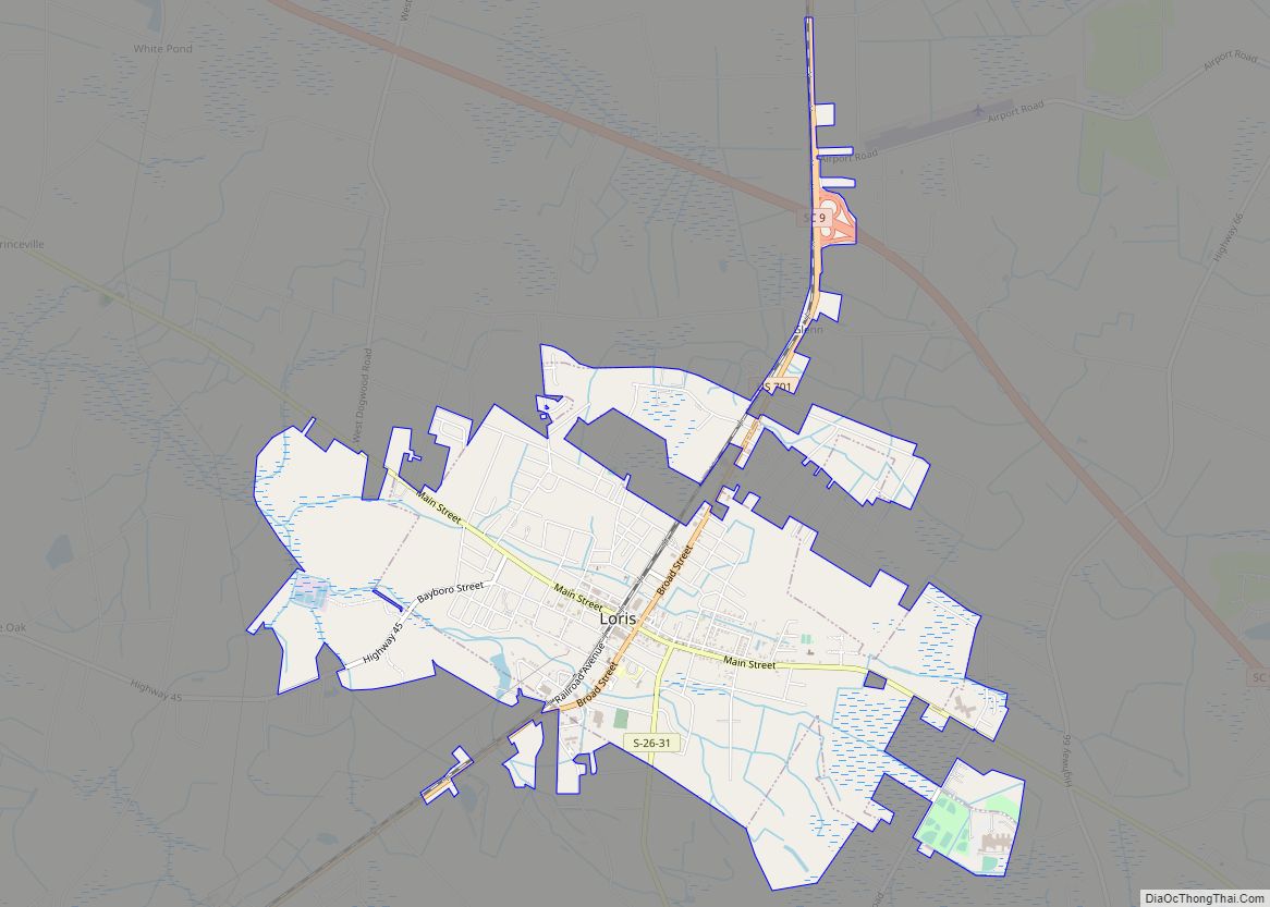
- Loris
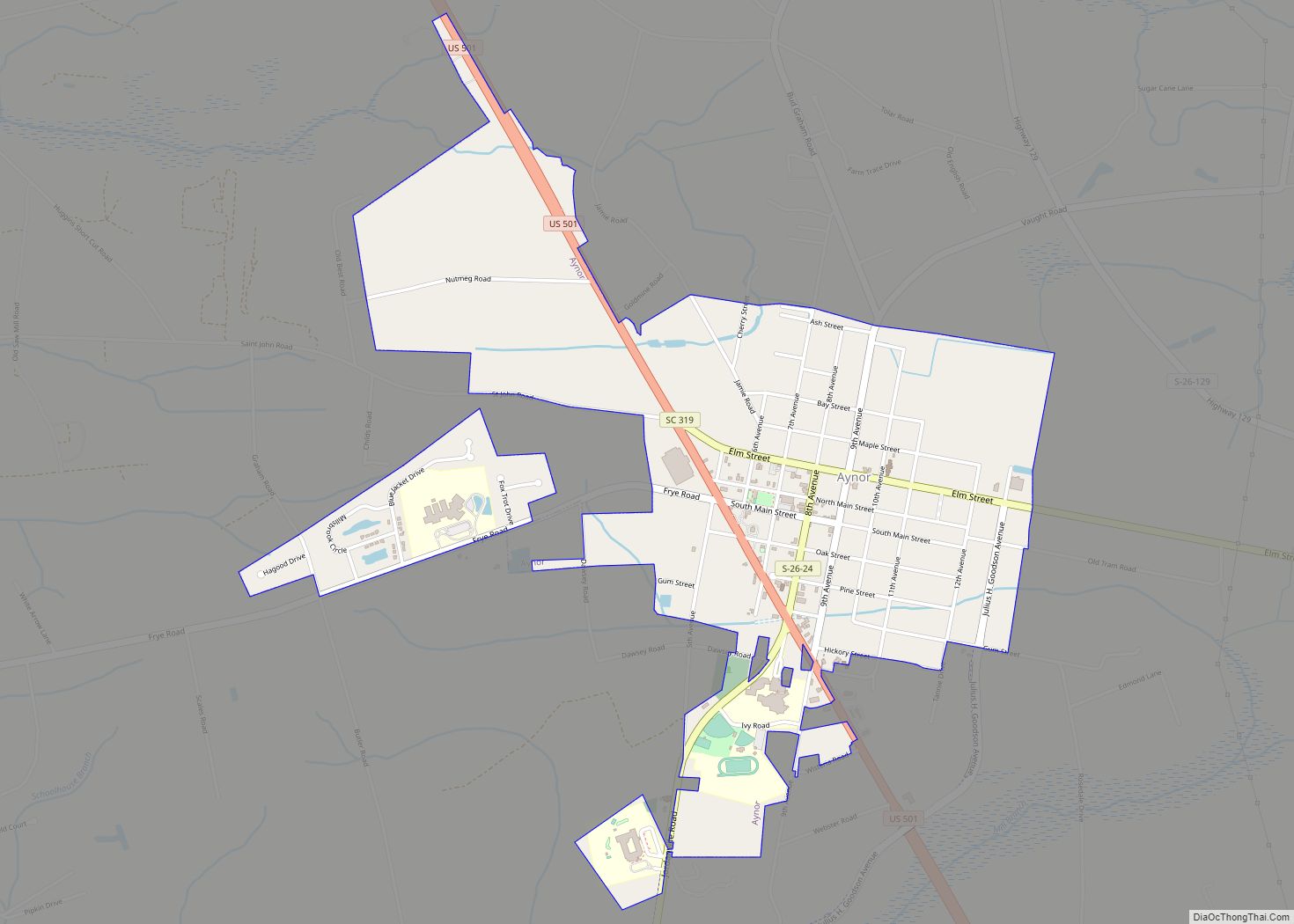
- Aynor
- Pawley’s Island
- Cherry Grove
- Longs
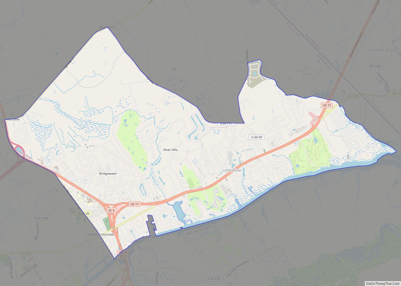
- Little River
- Race Path
Climate
According to the Köppen climate classification, Myrtle Beach has a humid subtropical climate or Cfa – typical of the Gulf and South Atlantic states. The city enjoys abundant sunshine year-round with more than 2800 hours annually.
The summer season is long, hot, and humid in Myrtle Beach. Average daytime highs are from 83 to 91 °F (28 to 33 °C) and average night-time lows are near 70 °F (21 °C). The coastal location of Myrtle Beach mitigates daytime summer heat somewhat compared to inland areas of South Carolina: Thus, while nearby Florence averages 65 days annually with high temperatures of 90 °F (32 °C) or higher – Myrtle Beach averages only 21. The Bermuda High pumps in humidity from the tropical Atlantic toward Myrtle Beach, giving summers a near-tropical feel in the city. The warm Atlantic Ocean reaches 80 °F (27 °C) or higher in the summer months off Myrtle Beach, making for warm and sultry summer nights. Summer thunderstorms are common in the hot season in Myrtle Beach, and the summer months from June through September have the most precipitation. In summer, thunderstorms normally build during the heat of the day – followed by brief and intense downpours. On average, September is the wettest month, with August close behind, due to the combination of thunderstorms and tropical weather systems that peaks these months.
Myrtle Beach has mostly mild winters of short duration: Average daytime highs range from 57 to 61 °F (14 to 16 °C) and nighttime lows are in the 36 to 38 °F (2 to 3 °C) from December through February. Winter temperatures vary more than summer temperatures in Myrtle Beach: Some winters can see several cold days with highs only in the upper 40s F (7–9 °C), while other winter days can see highs in the upper 60s and low 70s F (19–23 °C). Myrtle Beach averages 33 days annually with frost, though in some years less than 15 days will see frost. Snowfall is very rare in Myrtle Beach; however, at least a trace of snow falls a few times each decade. In February 2010, a rare 2.8 inches (71 mm) of snow fell in Myrtle Beach. The spring (March, April and May) and fall (September, October and November) months are normally mild and sunny in Myrtle Beach, with high temperatures in the 60s and 70s. The beach season in Myrtle Beach normally runs from late April through late October. SST (Sea Surface Temperatures) are often in the lower 80’s (26–28 °C) off South Carolina in summer and early fall.
The temperature range measured in Myrtle Beach has historically ranged from a record summer heat of 104 °F (40 °C) to the record winter cold of 9 °F (−13 °C). In spite of the mild winter averages, ice days have been recorded, albeit rarely. The coldest daily maximum was 25 °F (−4 °C) in January 1962 whereas the normal year between 1991 and 2020 had the coldest maximum average of 37 °F (3 °C). Overnight lows can be extremely hot and muggy, although the record warm low of 88 °F (31 °C) in July 1942 is some way above the means of 81 °F (27 °C) for the warmest annual minimum.
Summer thunderstorms are typically brief, but severe thunderstorms do occur on occasion. Tornadoes are rare, with the most significant event occurring in 2001 when multiple tornadoes touched down in the area. Tropical cyclones occasionally impact Myrtle Beach, though weaker tropical storms and weak tropical lows are more common. Like most areas prone to tropical cyclones, a direct hit by a major hurricane is infrequent in Myrtle Beach. The last hurricane to cause significant damage in Myrtle Beach was Hurricane Hugo in 1989. The worst hurricane in Myrtle Beach’s history was Hurricane Hazel in 1954.
See also
Map of South Carolina State and its subdivision:- Abbeville
- Aiken
- Allendale
- Anderson
- Bamberg
- Barnwell
- Beaufort
- Berkeley
- Calhoun
- Charleston
- Cherokee
- Chester
- Chesterfield
- Clarendon
- Colleton
- Darlington
- Dillon
- Dorchester
- Edgefield
- Fairfield
- Florence
- Georgetown
- Greenville
- Greenwood
- Hampton
- Horry
- Jasper
- Kershaw
- Lancaster
- Laurens
- Lee
- Lexington
- Marion
- Marlboro
- McCormick
- Newberry
- Oconee
- Orangeburg
- Pickens
- Richland
- Saluda
- Spartanburg
- Sumter
- Union
- Williamsburg
- York
- Alabama
- Alaska
- Arizona
- Arkansas
- California
- Colorado
- Connecticut
- Delaware
- District of Columbia
- Florida
- Georgia
- Hawaii
- Idaho
- Illinois
- Indiana
- Iowa
- Kansas
- Kentucky
- Louisiana
- Maine
- Maryland
- Massachusetts
- Michigan
- Minnesota
- Mississippi
- Missouri
- Montana
- Nebraska
- Nevada
- New Hampshire
- New Jersey
- New Mexico
- New York
- North Carolina
- North Dakota
- Ohio
- Oklahoma
- Oregon
- Pennsylvania
- Rhode Island
- South Carolina
- South Dakota
- Tennessee
- Texas
- Utah
- Vermont
- Virginia
- Washington
- West Virginia
- Wisconsin
- Wyoming