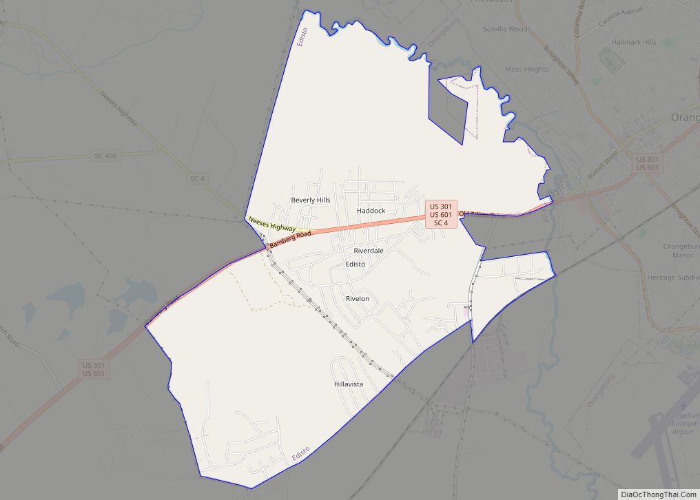
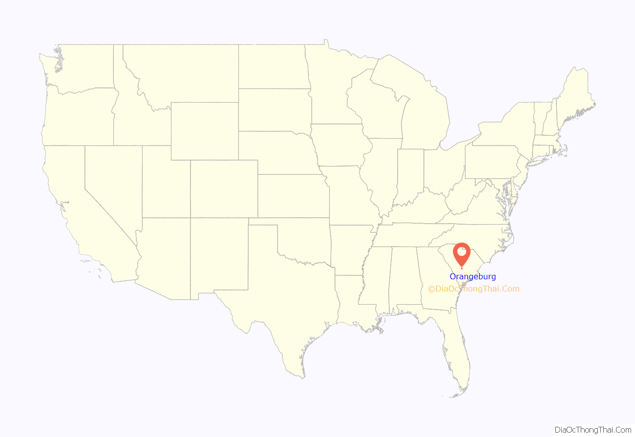
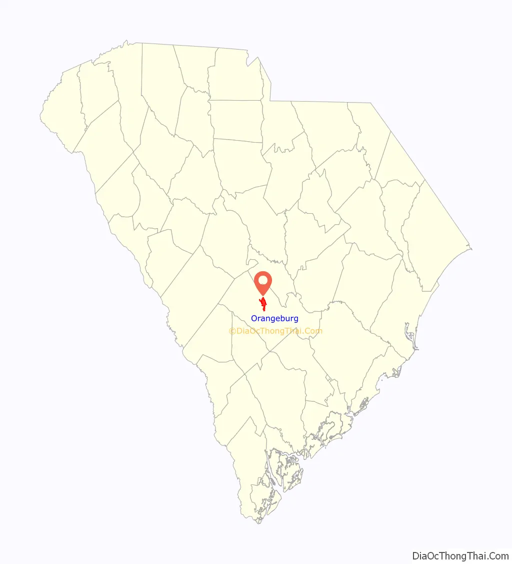
Orangeburg, also known as The Garden City, is the principal city in and the county seat of Orangeburg County, South Carolina, United States. The population of the city was 13,964 according to the 2010 United States Census and declined to 12,704 in the 2020 census. The city is located 37 miles southeast of Columbia, on the north fork of the Edisto River.
Two historically black institutions of higher education are located in Orangeburg: Claflin University (a liberal arts college) and South Carolina State University (a public university).
| Name: | Orangeburg city |
|---|---|
| LSAD Code: | 25 |
| LSAD Description: | city (suffix) |
| State: | South Carolina |
| County: | Orangeburg County |
| Elevation: | 243 ft (74 m) |
| Total Area: | 9.02 sq mi (23.36 km²) |
| Land Area: | 9.01 sq mi (23.34 km²) |
| Water Area: | 0.01 sq mi (0.02 km²) |
| Total Population: | 13,240 |
| Population Density: | 1,469.15/sq mi (567.23/km²) |
| ZIP code: | 29115-29118 |
| Area code: | 803, 839 |
| FIPS code: | 4553080 |
| GNISfeature ID: | 1249990 |
| Website: | www.orangeburg.sc.us |
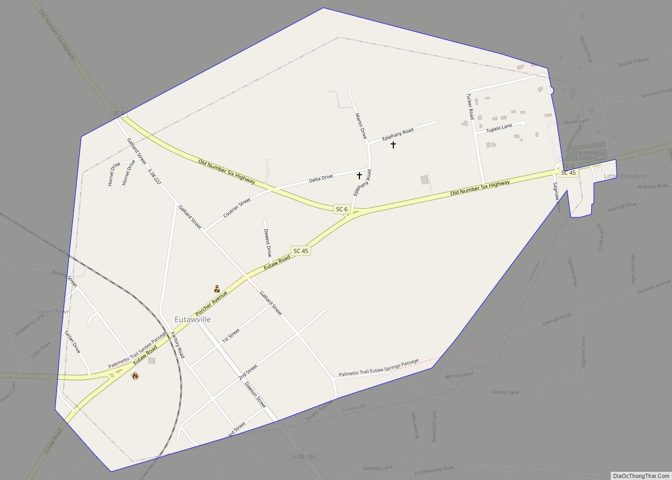
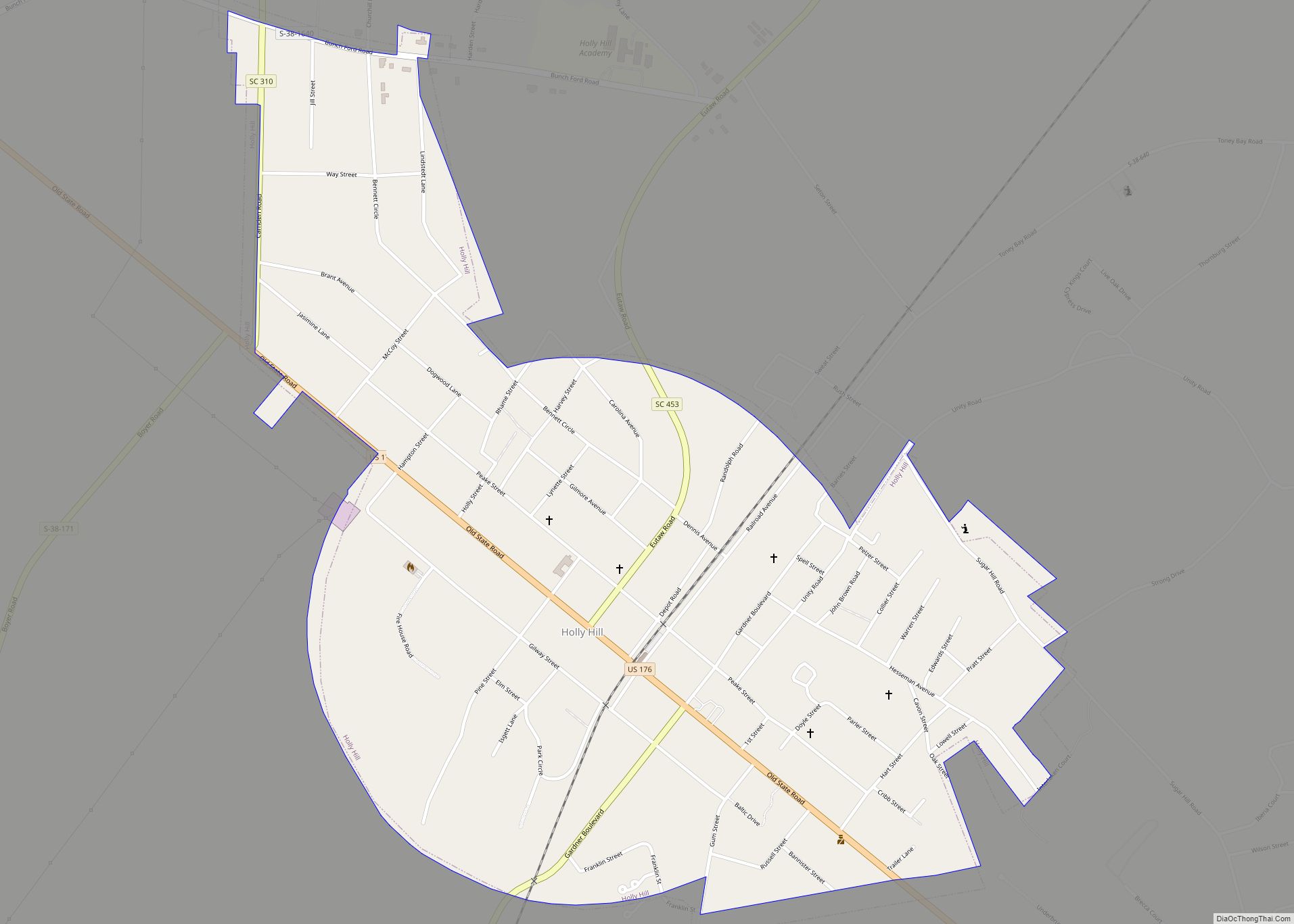
Online Interactive Map
Click on ![]() to view map in "full screen" mode.
to view map in "full screen" mode.
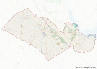
Orangeburg location map. Where is Orangeburg city?
History
18th century
European settlement in this area started in 1704 when George Sterling set up a post here for fur trade with Native Americans. To encourage settlement, the General Assembly of the Province of South Carolina in 1730 organized the area as a township, naming it Orangeburg for William IV, Prince of Orange, the son-in-law of King George II of Great Britain. In 1735, a colony of 200 Swiss, German and Dutch immigrants formed a community near the banks of the North Edisto River. The site was attractive because of the fertile soil and the abundance of wildlife. The river provided the all-important transportation waterway to the port of Charleston on the Atlantic coast for the area’s agriculture and lumber products, and for shipping goods upriver. The town soon became a well-established and successful colony, composed chiefly of small yeomen farmers.
Orangeburg’s first church was established by a German Lutheran congregation. It later identified as an Anglican Church, which was the established church and exempt from colonial taxation. The church building was erected prior to 1763 in the center of the village; it was destroyed by fighting during the Revolutionary War. A new church was built; during the Civil War, it was used as a smallpox hospital by General William Tecumseh Sherman on his march through with Union forces.
19th century
After the American Revolution, the character of the county changed dramatically. Invention by Eli Whitney of a mass-produced cotton gin for processing short-staple or “green seed” cotton made this type of cotton profitable. It was easily grown in the upland areas, and the county was rapidly developed into large cotton plantations. Agricultural labor was provided by enslaved African Americans, many brought into the area in a forced migration from the coastal areas or the Upper South via the domestic slave trade. Slaves became the majority of population in the county and city. Freed after the Civil War, blacks began to gain educations, and two colleges were established in the city, the second designated as a land grant institution for all black students in the state under segregation. Blacks were also subject to Jim Crow laws passed by the Democrat-dominated state legislature; they were deprived of their ability to vote by South Carolina’s disenfranchising constitution passed at the turn of the 20th century, which erected barriers to voter registration. In 1919 The Orangeburg Regional Medical Center opened. This area is also known for its extremely rich soil.
20th century
Efforts by blacks to regain civil rights increased in the postwar period after World War II. In the 1960s, Orangeburg was a major center of Civil Rights Movement activities by students from both Claflin College and South Carolina State College as well as black residents of the city. After the US Supreme Court ruling in Brown v. Board of Education (1954) declaring segregation in public schools to be unconstitutional, local blacks sought integration of local schools in 1956. Whites retaliated economically, sometimes firing activists or evicting them from rental housing. College students came to their support with hunger strikes, boycotts, and mass marches. In 1960, over 400 students were arrested on sit-ins and integration marches organized by the Congress of Racial Equality (CORE).
In August 1963, the Orangeburg Freedom Movement (OFM), chaired by Harlowe Caldwell of the NAACP, submitted 10 pro-integration demands to the Orangeburg Mayor and City Council. After negotiations failed, mass demonstrations similar to those in the Birmingham campaign in Alabama resulted in more than 1,300 arrests. Local efforts to end segregation in public places continued, particularly after Congress passed the Civil Rights Act of 1964. On February 8, 1968, after days of protests against a segregated bowling alley, violence broke out near the bowling alley as police attacked Black students from South Carolina State. Police opened fire on a crowd of students, killing Samuel Hammond, Henry Smith, and Delano Middleton, and wounding 27 others in what became known as the “Orangeburg massacre”.
21st century
In May 2000, the city created the Orangeburg County Community of Character initiative. It is a collaborative effort in community development by the Downtown Orangeburg Revitalization Association (DORA), The Times and Democrat newspaper, the Orangeburg County Chamber of Commerce, and the Orangeburg County Development Commission. In 2005, the National Civic League awarded Orangeburg County the All-America City Award which recognizes and encourages civic excellence. It honors communities in which citizens, government, businesses, and non-profit organizations demonstrate successful resolution of critical community issues.
In 2007, Orangeburg hosted the first Democratic U.S. presidential candidate debate of the campaign season at Martin Luther King Jr. Auditorium on the campus of South Carolina State University; future president Barack Obama, was one of the debaters.
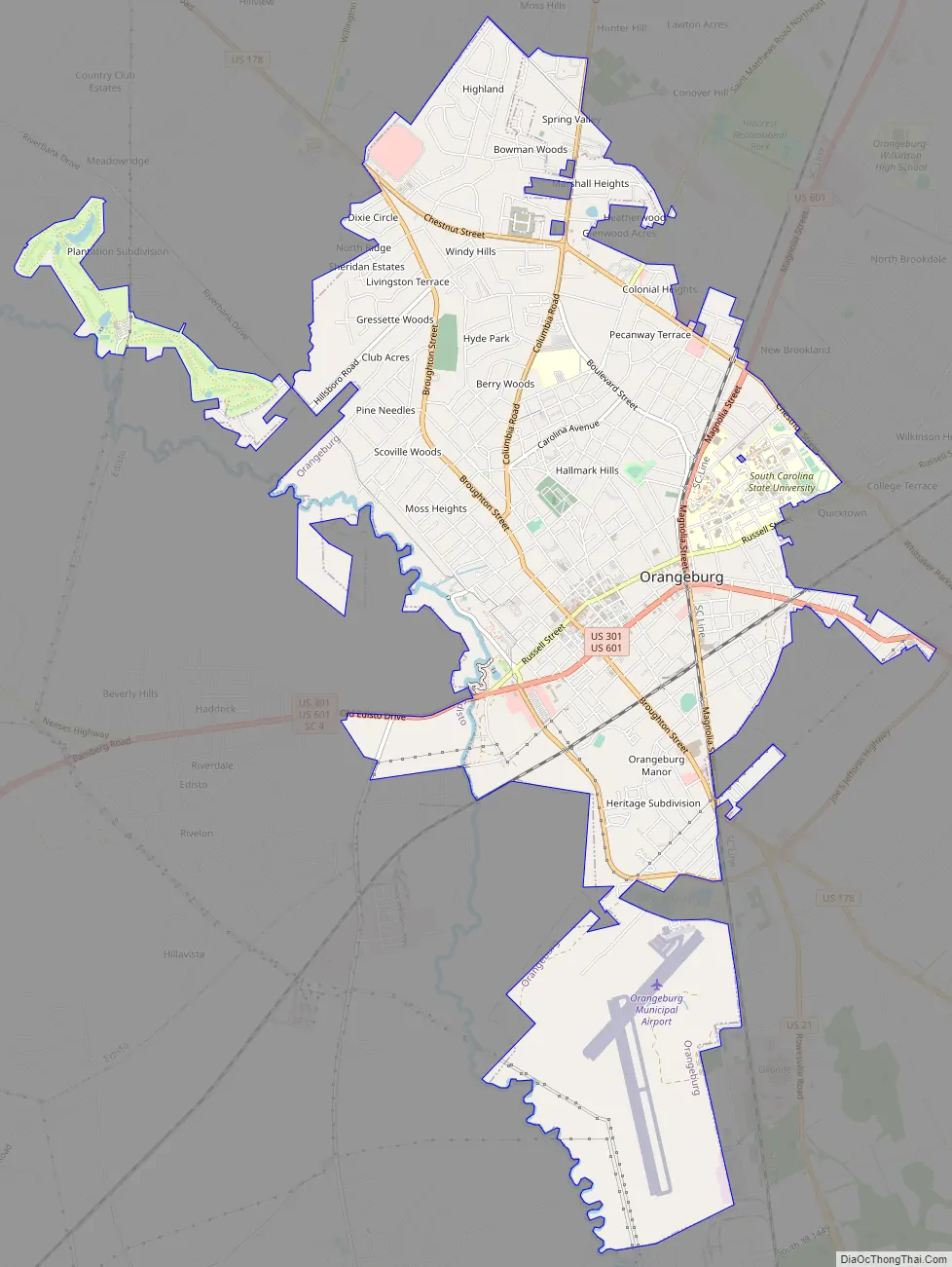
Orangeburg Road Map
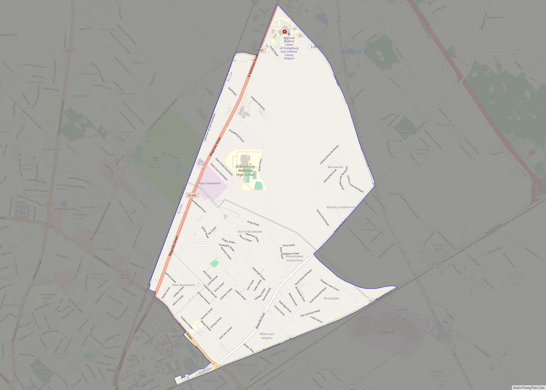
Orangeburg city Satellite Map
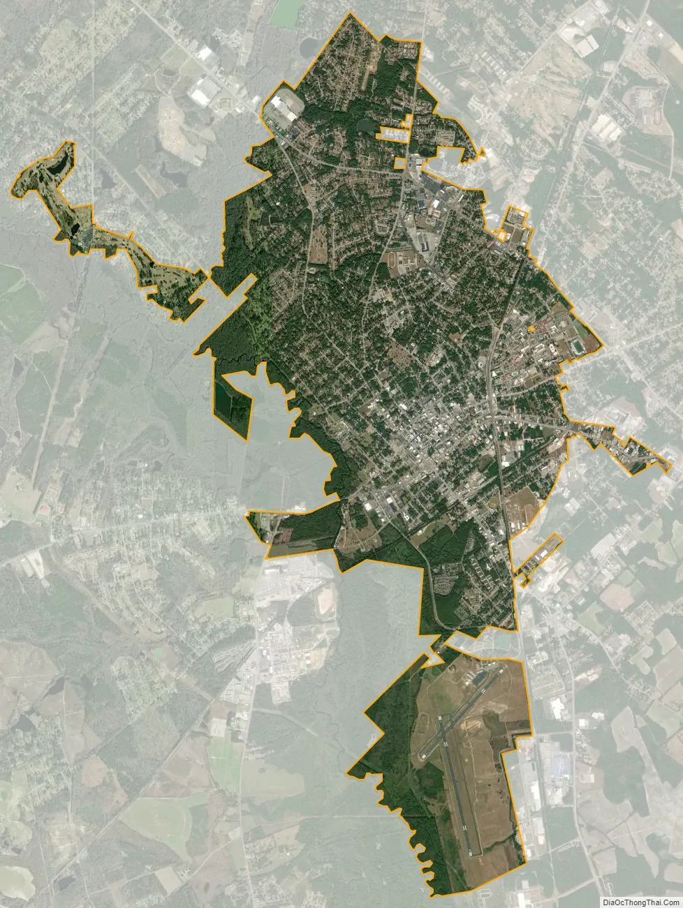
Geography
According to the United States Census Bureau, the city has a total area of 8.3 square miles (21.5 km), of which 8.3 square miles (21.5 km) is land and 0.12% is water.
Climate
The climate in this area is characterized by relatively high temperatures and evenly distributed precipitation throughout the year. According to the Köppen Climate Classification system, Orangeburg has a humid subtropical climate, abbreviated Cfa on climate maps.
See also
Map of South Carolina State and its subdivision:- Abbeville
- Aiken
- Allendale
- Anderson
- Bamberg
- Barnwell
- Beaufort
- Berkeley
- Calhoun
- Charleston
- Cherokee
- Chester
- Chesterfield
- Clarendon
- Colleton
- Darlington
- Dillon
- Dorchester
- Edgefield
- Fairfield
- Florence
- Georgetown
- Greenville
- Greenwood
- Hampton
- Horry
- Jasper
- Kershaw
- Lancaster
- Laurens
- Lee
- Lexington
- Marion
- Marlboro
- McCormick
- Newberry
- Oconee
- Orangeburg
- Pickens
- Richland
- Saluda
- Spartanburg
- Sumter
- Union
- Williamsburg
- York
- Alabama
- Alaska
- Arizona
- Arkansas
- California
- Colorado
- Connecticut
- Delaware
- District of Columbia
- Florida
- Georgia
- Hawaii
- Idaho
- Illinois
- Indiana
- Iowa
- Kansas
- Kentucky
- Louisiana
- Maine
- Maryland
- Massachusetts
- Michigan
- Minnesota
- Mississippi
- Missouri
- Montana
- Nebraska
- Nevada
- New Hampshire
- New Jersey
- New Mexico
- New York
- North Carolina
- North Dakota
- Ohio
- Oklahoma
- Oregon
- Pennsylvania
- Rhode Island
- South Carolina
- South Dakota
- Tennessee
- Texas
- Utah
- Vermont
- Virginia
- Washington
- West Virginia
- Wisconsin
- Wyoming