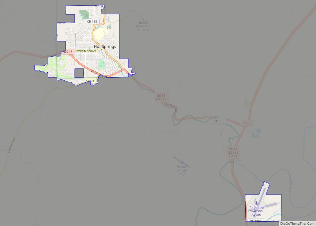
Hot Springs (Lakota: mni kȟáta; “hot water”) is a city in and county seat of Fall River County, South Dakota, United States. As of the 2020 census, the city population was 3,395. In addition, neighboring Oglala Lakota County contracts the duties of Auditor, Treasurer and Register of Deeds to the Fall River County authority in ... Read more
South Dakota Cities and Places
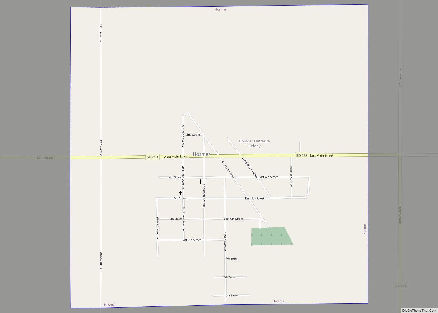
Hosmer is a city in northwestern Edmunds County, South Dakota, United States. The population was 164 at the 2020 census. Hosmer city overview: Name: Hosmer city LSAD Code: 25 LSAD Description: city (suffix) State: South Dakota County: Edmunds County Founded: 1887 Elevation: 1,906 ft (581 m) Total Area: 0.99 sq mi (2.56 km²) Land Area: 0.99 sq mi (2.56 km²) Water Area: 0.00 sq mi ... Read more
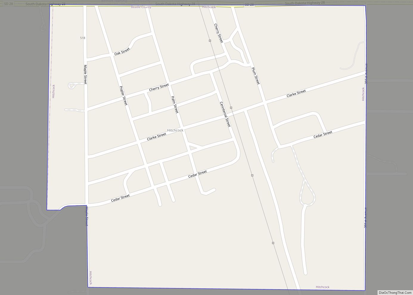
Hitchcock is a town in Beadle County, South Dakota, United States. The population was 112 at the 2020 census. Hitchcock co-ops with the nearby town of Tulare for sports, making them the Hitchcock/Tulare Patriots. Hitchcock town overview: Name: Hitchcock town LSAD Code: 43 LSAD Description: town (suffix) State: South Dakota County: Beadle County Elevation: 1,339 ft ... Read more
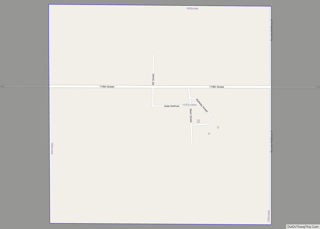
Hillsview is a town in McPherson County, South Dakota, United States. The population was 2 at the 2020 census. Hillsview is the least-populated municipality in South Dakota. As of 2024, the population is 0 and is scheduled to be unincorporated. The town was named because of its lofty elevation. Hillsview town overview: Name: Hillsview town ... Read more
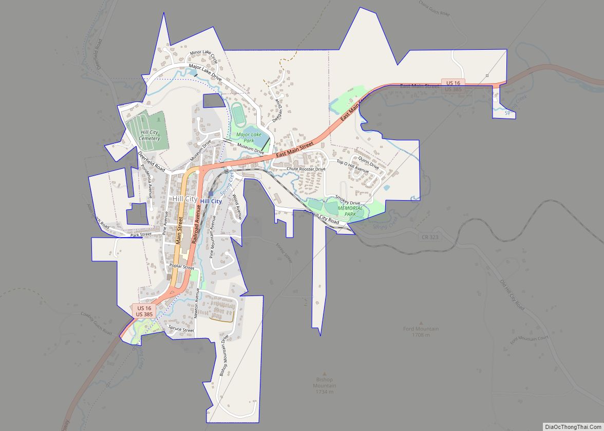
Hill City is the oldest existing city in Pennington County, South Dakota, United States. The population was 872 at the 2020 census. Hill City is located 26 miles (42 km) southwest of Rapid City on U.S. Highway 16 and on U.S. Route 385 that connects Deadwood to Hot Springs. Hill City is known as the “Heart ... Read more
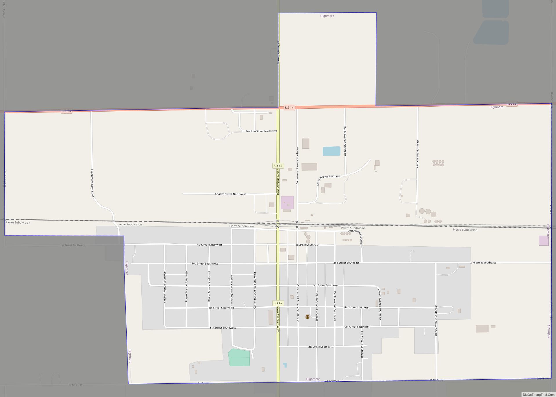
Highmore is a city in and county seat of Hyde County, South Dakota, United States. The population was 682 at the 2020 census. Highmore city overview: Name: Highmore city LSAD Code: 25 LSAD Description: city (suffix) State: South Dakota County: Hyde County Incorporated: 1882 Elevation: 1,886 ft (575 m) Total Area: 1.89 sq mi (4.88 km²) Land Area: 1.89 sq mi (4.88 km²) ... Read more
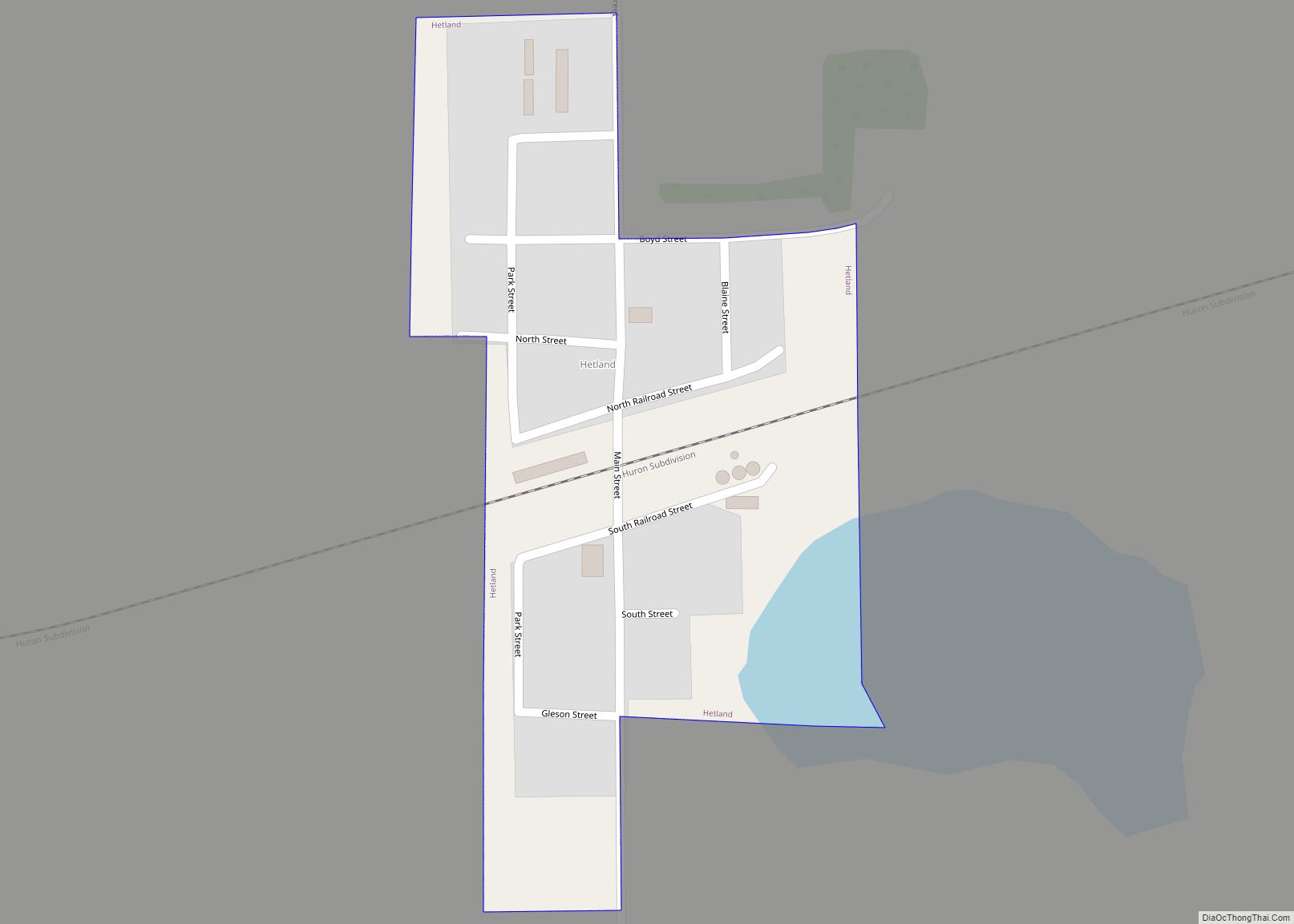
Hetland is a town in Kingsbury County, South Dakota, United States. The population was 46 at the 2010 census. Hetland town overview: Name: Hetland town LSAD Code: 43 LSAD Description: town (suffix) State: South Dakota County: Kingsbury County Founded: 1880 Elevation: 1,732 ft (528 m) Total Area: 0.11 sq mi (0.30 km²) Land Area: 0.11 sq mi (0.30 km²) Water Area: 0.00 sq mi (0.00 km²) ... Read more
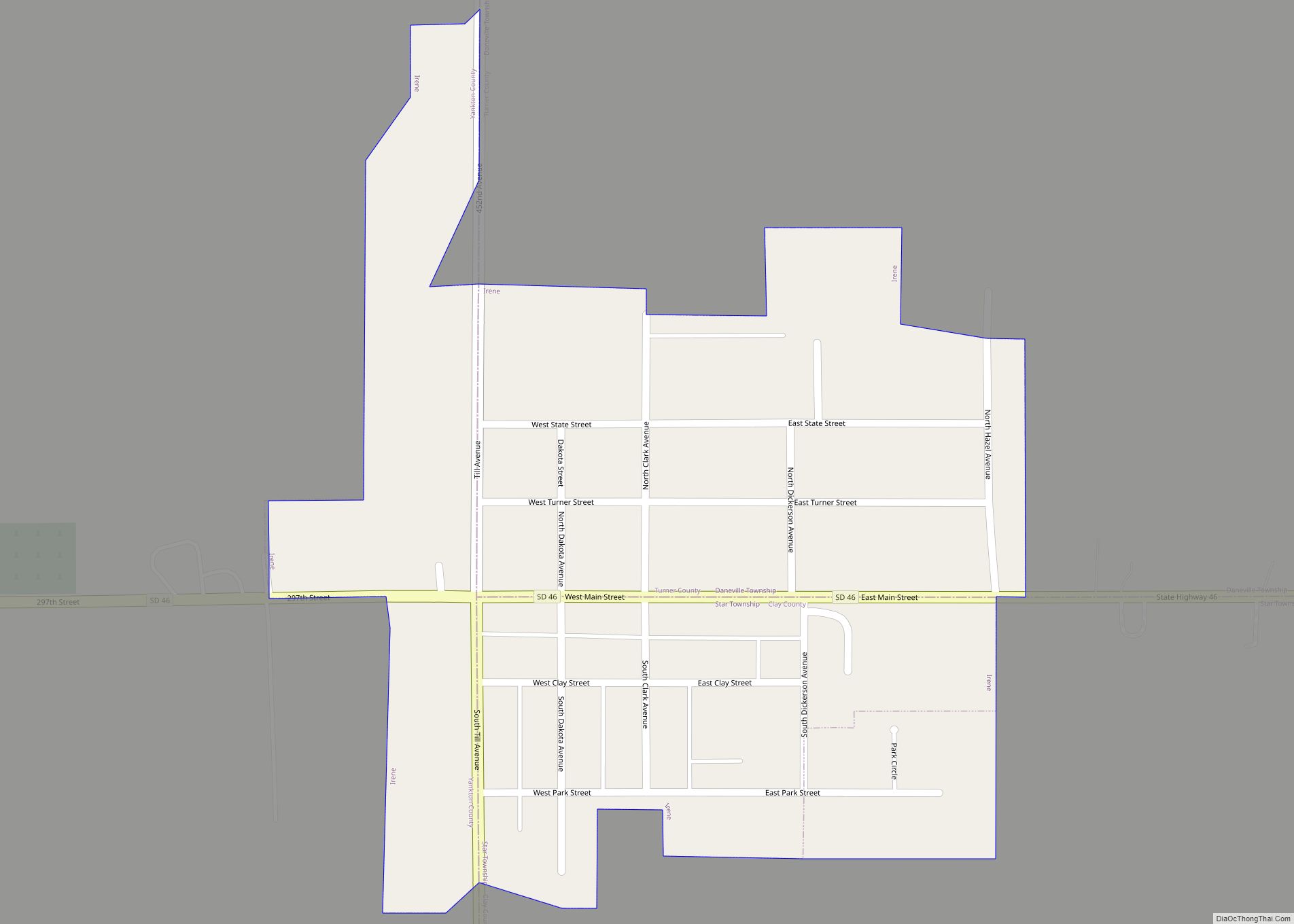
Irene is a city in Clay, Turner, and Yankton counties in South Dakota, United States. The population was 422 at the 2020 census. The portion of Irene that is located in Turner County is a part of the Sioux Falls, South Dakota metropolitan area, the portion located in Yankton County is part of the Yankton ... Read more
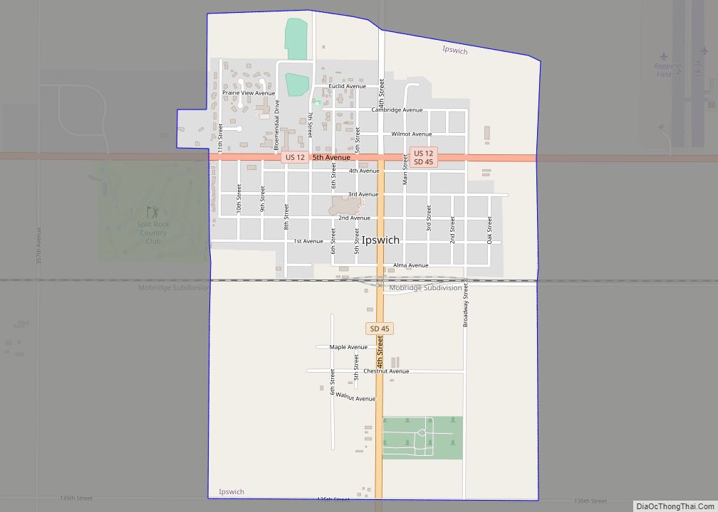
Ipswich is a city in and county seat of Edmunds County, South Dakota, United States. The population was 928 at the 2020 census. Ipswich city overview: Name: Ipswich city LSAD Code: 25 LSAD Description: city (suffix) State: South Dakota County: Edmunds County Elevation: 1,535 ft (468 m) Total Area: 1.34 sq mi (3.47 km²) Land Area: 1.34 sq mi (3.47 km²) Water Area: ... Read more
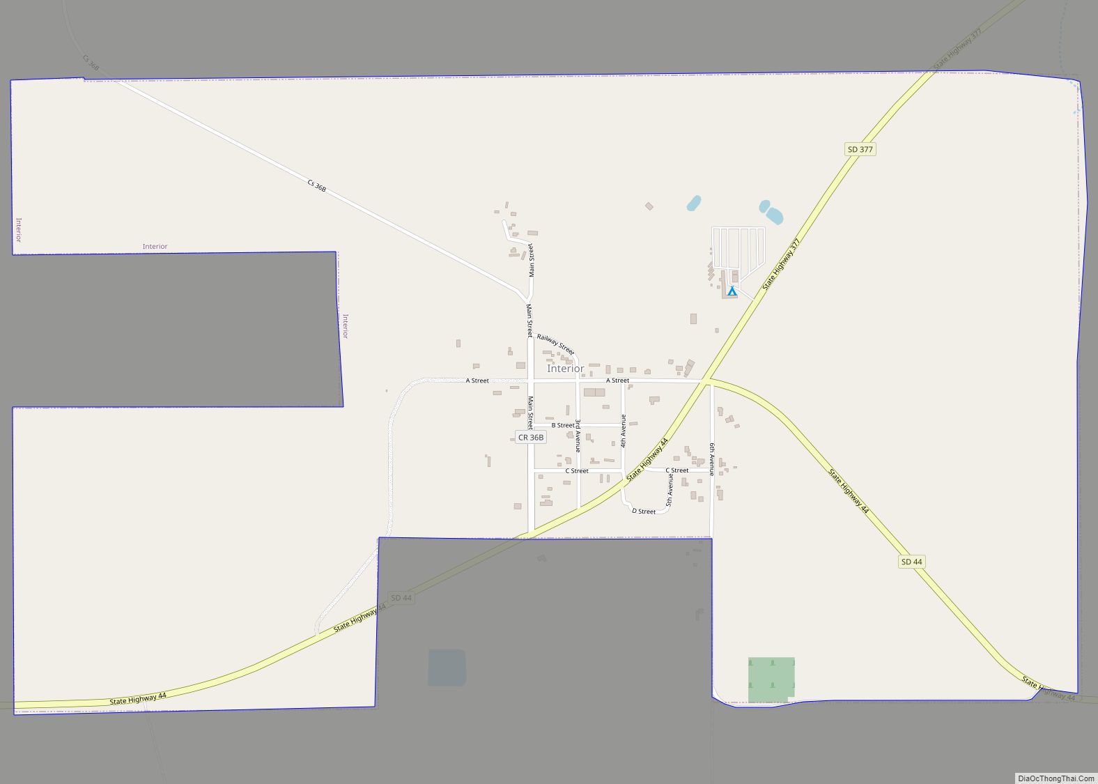
Interior (Lakota: makȟóšiča otȟúŋwahe; “Badlands village”) is a town in Jackson County, South Dakota, United States. The population was 65 at the 2020 census. Interior got its start in 1907 when the Milwaukee Railroad was extended to that point. Interior town overview: Name: Interior town LSAD Code: 43 LSAD Description: town (suffix) State: South Dakota ... Read more
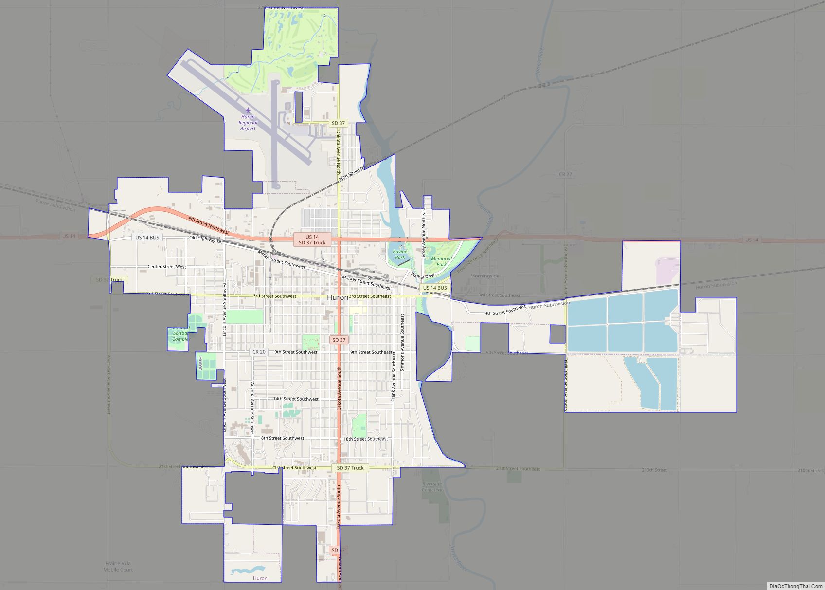
Huron is a city in Beadle County, South Dakota, United States. It is the county seat of Beadle County. The population was 14,263 at the 2020 census, and it is the eighth largest city in South Dakota. The first settlement at Huron was made in 1880. Huron is location of the South Dakota State Fair, ... Read more
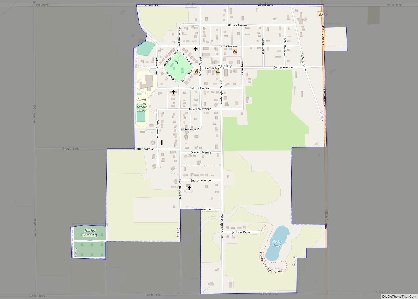
Hurley is a city in Turner County, South Dakota, United States. The population was 379 at the 2020 census. Hurley city overview: Name: Hurley city LSAD Code: 25 LSAD Description: city (suffix) State: South Dakota County: Turner County Incorporated: 1883 Elevation: 1,283 ft (391 m) Total Area: 0.62 sq mi (1.59 km²) Land Area: 0.62 sq mi (1.59 km²) Water Area: 0.00 sq mi (0.00 km²) ... Read more
