Hot Springs (Lakota: mni kȟáta; “hot water”) is a city in and county seat of Fall River County, South Dakota, United States. As of the 2020 census, the city population was 3,395. In addition, neighboring Oglala Lakota County contracts the duties of Auditor, Treasurer and Register of Deeds to the Fall River County authority in Hot Springs.
| Name: | Hot Springs city |
|---|---|
| LSAD Code: | 25 |
| LSAD Description: | city (suffix) |
| State: | South Dakota |
| County: | Fall River County |
| Incorporated: | 1890 |
| Elevation: | 3,448 ft (1,051 m) |
| Total Area: | 4.34 sq mi (11.24 km²) |
| Land Area: | 4.34 sq mi (11.24 km²) |
| Water Area: | 0.00 sq mi (0.00 km²) |
| Total Population: | 3,395 |
| Population Density: | 782.26/sq mi (302.05/km²) |
| ZIP code: | 57747 |
| Area code: | 605 |
| FIPS code: | 4630220 |
| GNISfeature ID: | 1265256 |
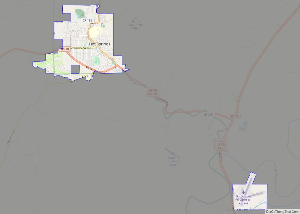
Online Interactive Map
Click on ![]() to view map in "full screen" mode.
to view map in "full screen" mode.
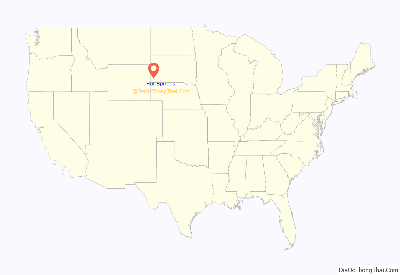
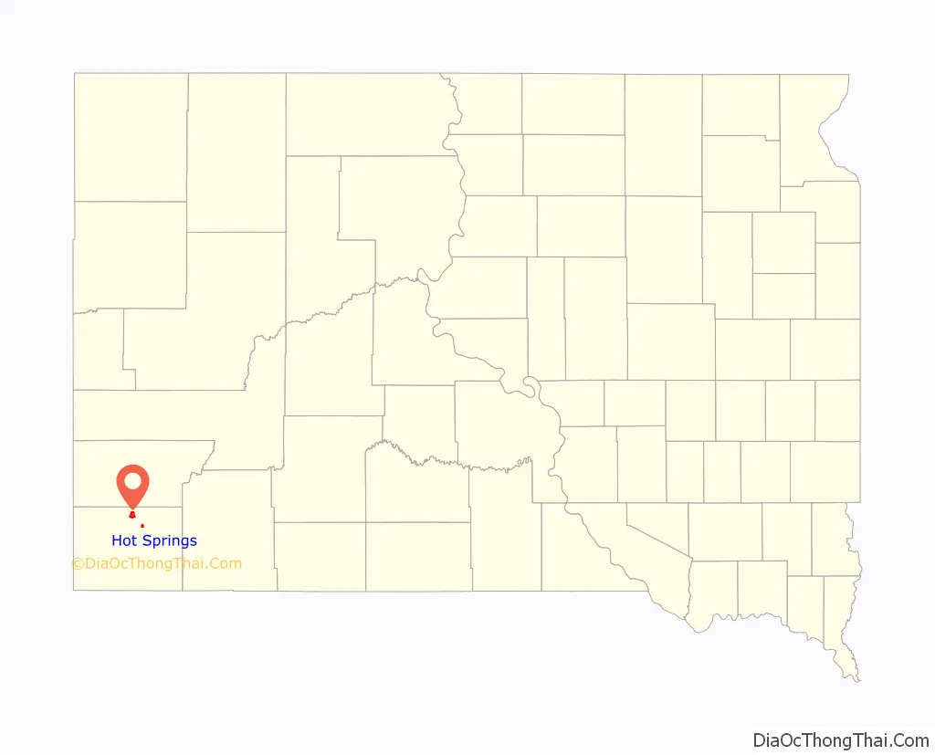
Hot Springs location map. Where is Hot Springs city?
History
The Sioux and Cheyenne people had long frequented the area, appreciating its warm springs. According to several accounts, including a ledger art piece by the Oglala Lakota artist Amos Bad Heart Bull, Native Americans considered the springs sacred. European settlers arrived in the second half of the 19th century. They first named the city “Minnekahta” after its Lakota name. It was renamed Hot Springs in 1882, which is a translation of the Native American name. A variety of health resorts were built on the tourism offered by the springs.
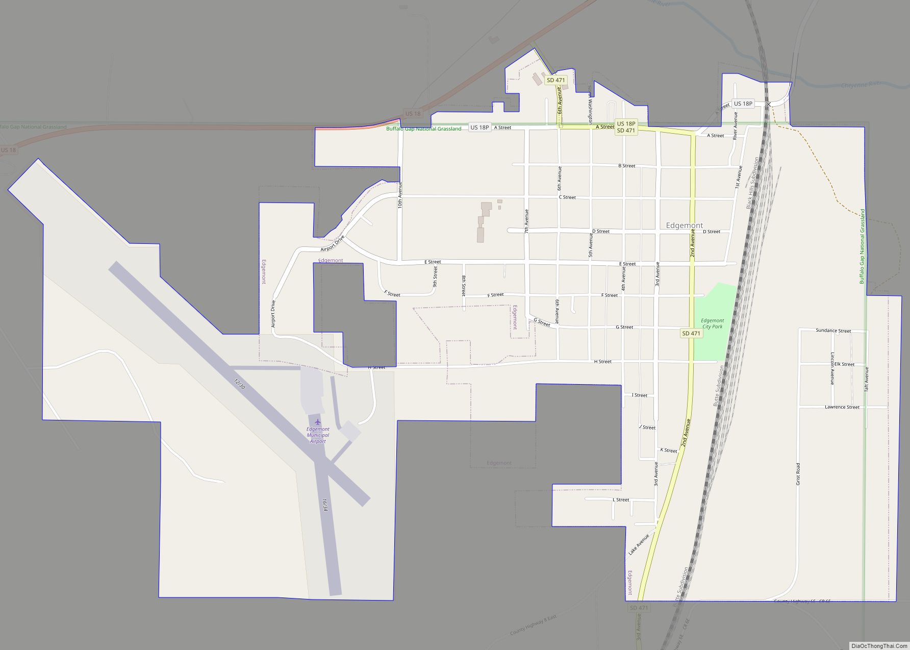
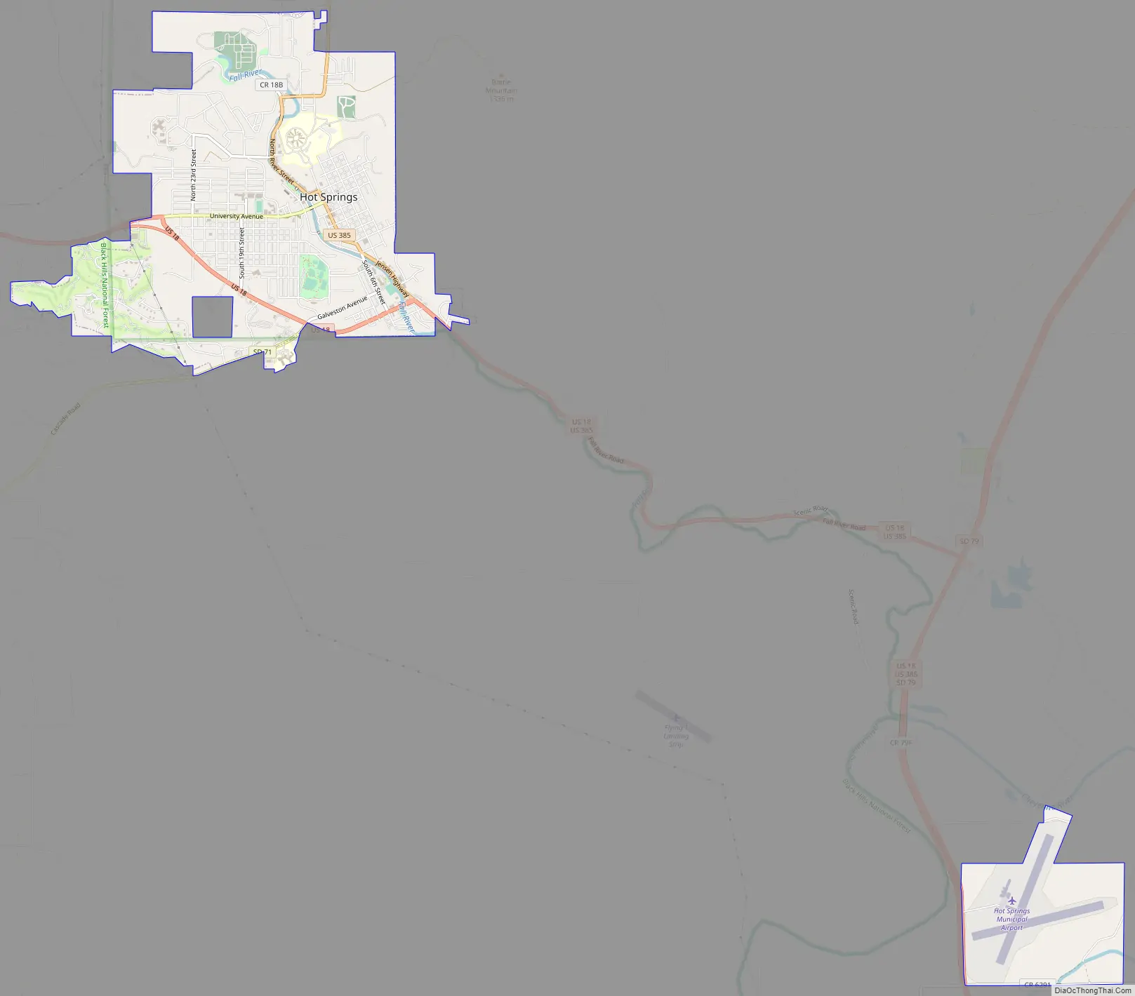
Hot Springs Road Map
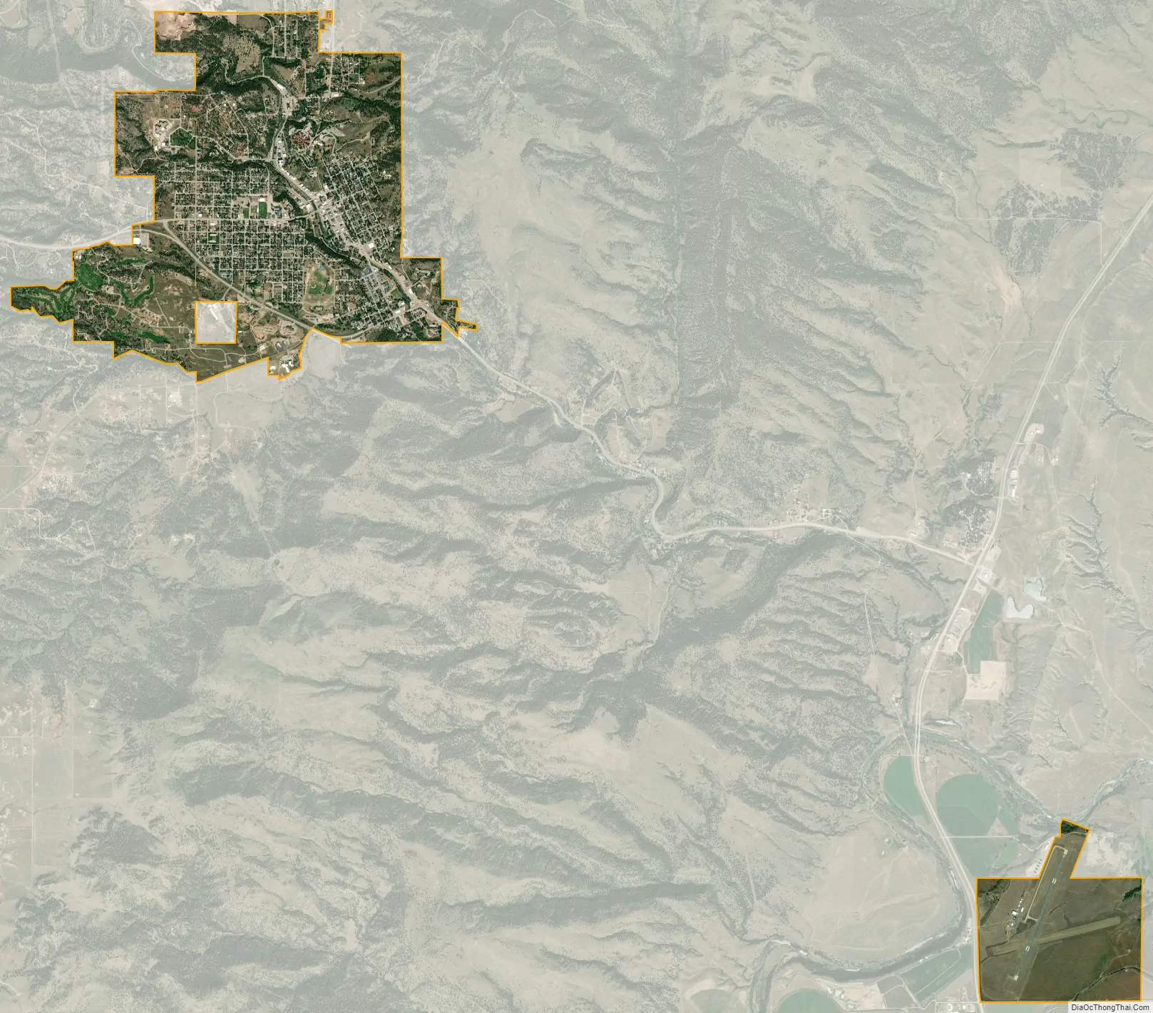
Hot Springs city Satellite Map
Geography
Hot Springs is located at 43°26′N 103°29′W / 43.433°N 103.483°W / 43.433; -103.483, in Fall River County at the southern edge of South Dakota’s Black Hills. The Fall River runs through the city.
According to the United States Census Bureau, the city has a total area of 3.61 square miles (9.35 km), all land. Hot Springs has been assigned the ZIP code 57747 and the FIPS place code 30220.
See also
Map of South Dakota State and its subdivision:- Aurora
- Beadle
- Bennett
- Bon Homme
- Brookings
- Brown
- Brule
- Buffalo
- Butte
- Campbell
- Charles Mix
- Clark
- Clay
- Codington
- Corson
- Custer
- Davison
- Day
- Deuel
- Dewey
- Douglas
- Edmunds
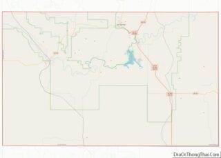
- Fall River
- Faulk
- Grant
- Gregory
- Haakon
- Hamlin
- Hand
- Hanson
- Harding
- Hughes
- Hutchinson
- Hyde
- Jackson
- Jerauld
- Jones
- Kingsbury
- Lake
- Lawrence
- Lincoln
- Lyman
- Marshall
- McCook
- McPherson
- Meade
- Mellette
- Miner
- Minnehaha
- Moody
- Pennington
- Perkins
- Potter
- Roberts
- Sanborn
- Shannon
- Spink
- Stanley
- Sully
- Todd
- Tripp
- Turner
- Union
- Walworth
- Yankton
- Ziebach
- Alabama
- Alaska
- Arizona
- Arkansas
- California
- Colorado
- Connecticut
- Delaware
- District of Columbia
- Florida
- Georgia
- Hawaii
- Idaho
- Illinois
- Indiana
- Iowa
- Kansas
- Kentucky
- Louisiana
- Maine
- Maryland
- Massachusetts
- Michigan
- Minnesota
- Mississippi
- Missouri
- Montana
- Nebraska
- Nevada
- New Hampshire
- New Jersey
- New Mexico
- New York
- North Carolina
- North Dakota
- Ohio
- Oklahoma
- Oregon
- Pennsylvania
- Rhode Island
- South Carolina
- South Dakota
- Tennessee
- Texas
- Utah
- Vermont
- Virginia
- Washington
- West Virginia
- Wisconsin
- Wyoming