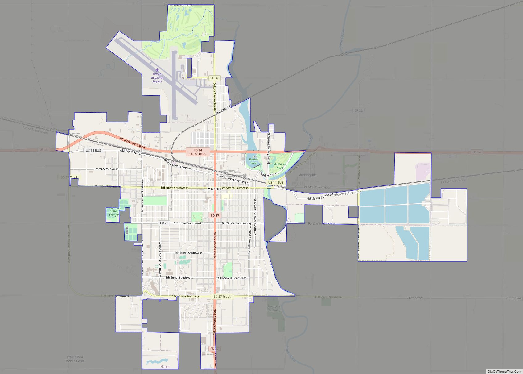
Huron is a city in Beadle County, South Dakota, United States. It is the county seat of Beadle County. The population was 14,263 at the 2020 census, and it is the eighth largest city in South Dakota.
The first settlement at Huron was made in 1880. Huron is location of the South Dakota State Fair, and of a statue called the World’s Largest Pheasant.
| Name: | Huron city |
|---|---|
| LSAD Code: | 25 |
| LSAD Description: | city (suffix) |
| State: | South Dakota |
| County: | Beadle County |
| Incorporated: | 1883 |
| Elevation: | 1,280 ft (390 m) |
| Total Area: | 10.81 sq mi (27.99 km²) |
| Land Area: | 9.72 sq mi (25.17 km²) |
| Water Area: | 1.09 sq mi (2.82 km²) |
| Total Population: | 14,263 |
| Population Density: | 1,467.54/sq mi (566.64/km²) |
| ZIP code: | 57350 and 57399 |
| Area code: | 605 |
| FIPS code: | 4631060 |
| GNISfeature ID: | 1255722 |
| Website: | huronsd.com |
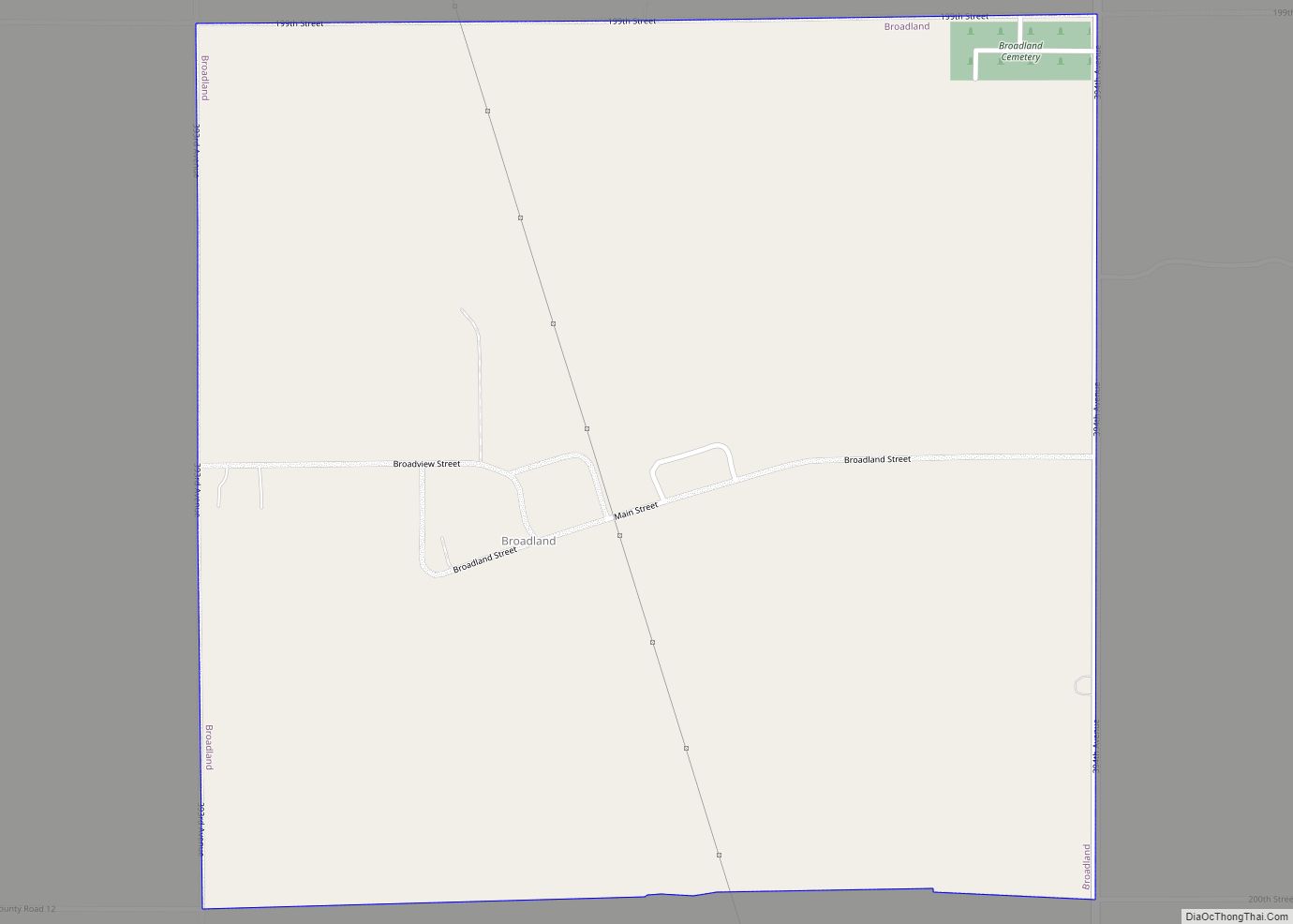
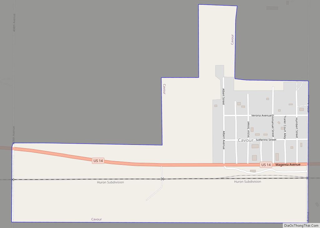
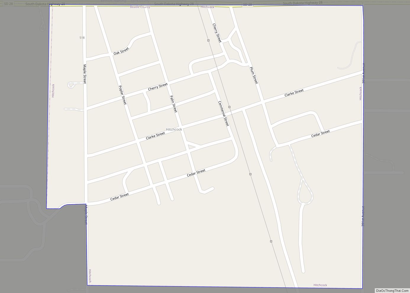
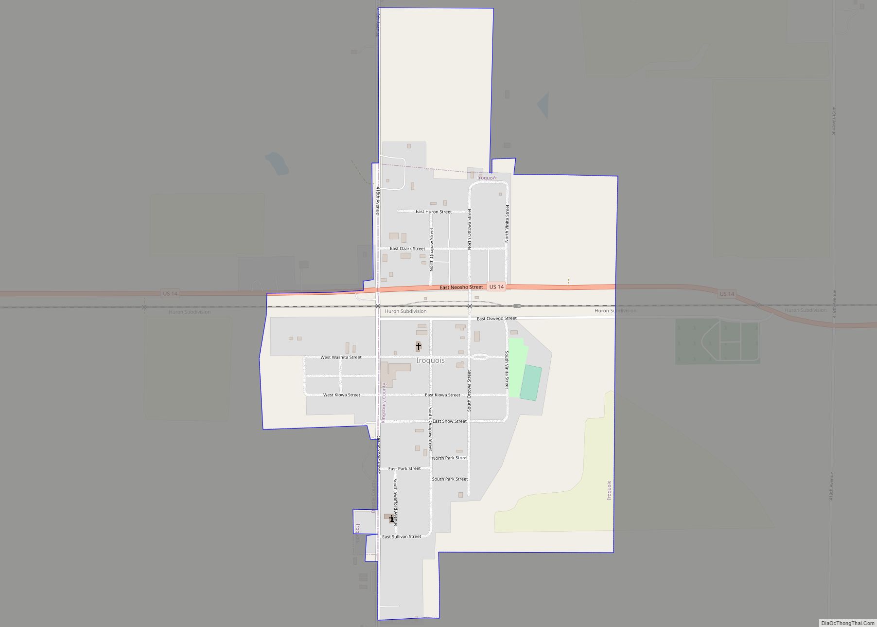
Online Interactive Map
Click on ![]() to view map in "full screen" mode.
to view map in "full screen" mode.
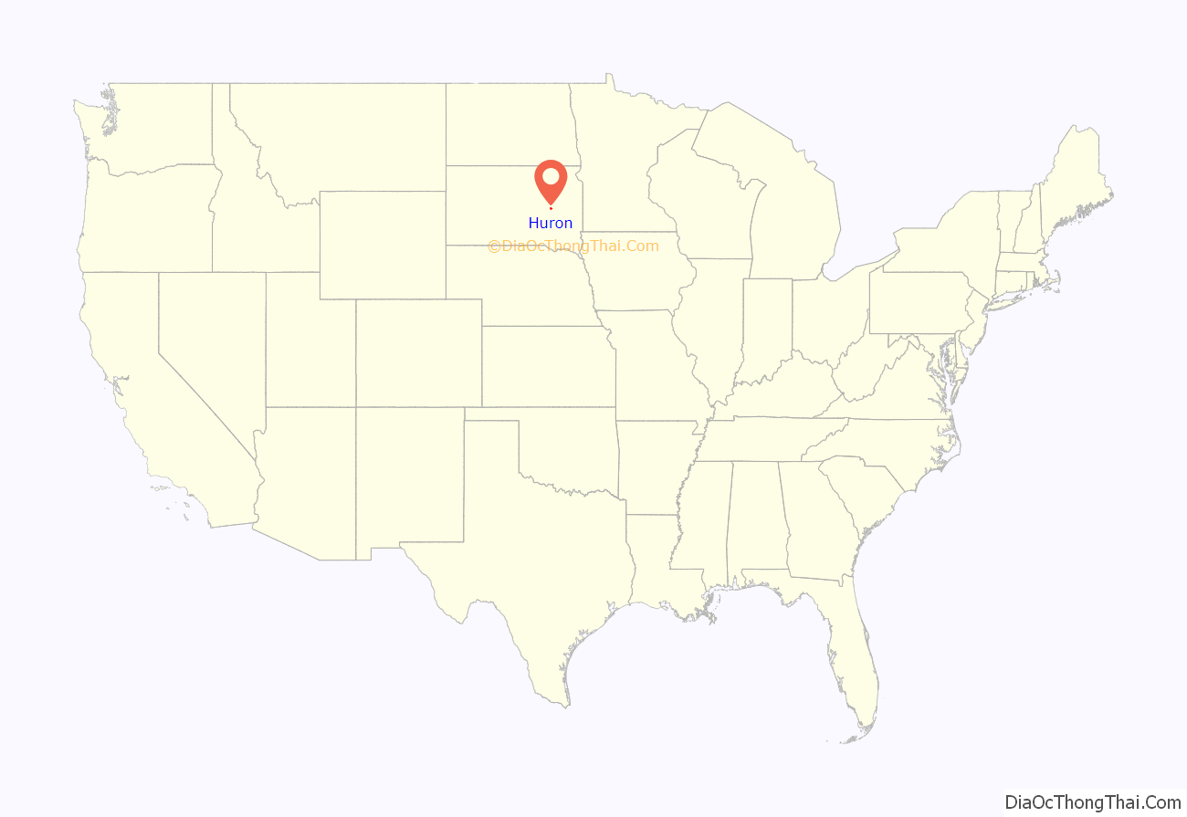
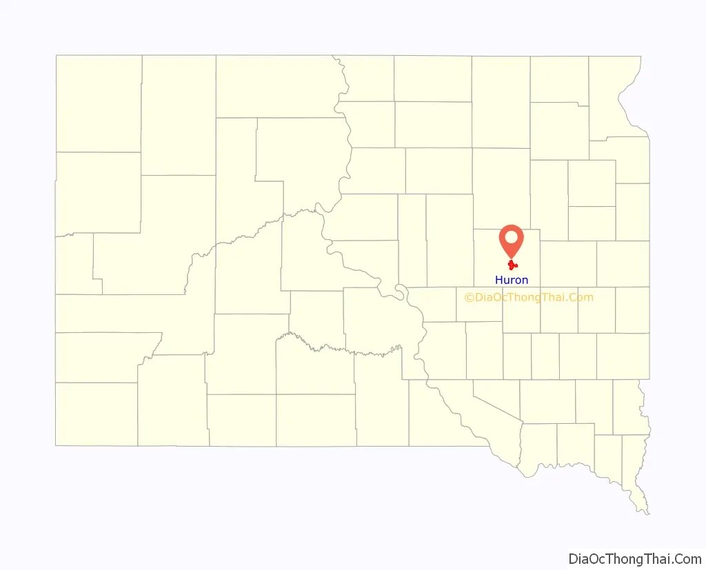
Huron location map. Where is Huron city?
History
Huron was founded during railroad and land booms in the 1880s. The early history of the town is closely linked with the Chicago and Northwestern Railway. At the direction of Marvin Hughitt, general manager of the railroad, the west bank of the James River was selected as the railway’s division headquarters. The company gained title to 880 acres (3.6 km) of land at that location. Huron was named for the Huron Indians.
The original plat covered 11 blocks, and Huron’s first settler was John Cain, a practical printer from Troy, New York. He learned in Chicago, from the railroad people, that they would have their chief town and operating headquarters at their James River crossing.
Beginning in 1880, Huron and Pierre vied to be selected as the state capital, until Pierre was chosen in 1904. Campbell Park and Winter Park in Huron were previously designated as properties for the capital grounds, and a city block of land between the parks with Victorian houses was originally slated for the capitol building.
- Chronology:
- 1879 – The town site was located
- 1880 – Town site surveyed and platted
- 1881 – First town government formed – a board of four trustees, a town clerk, a justice of the peace, one marshal and a surveyor
- 1882 – Alderman system of government adopted
- 1883 – Incorporated as the City of Huron – the city still operates under the original charter and seal
- 1910 – Changed from alderman to city commission form of government
- 1935 – City manager form of government adopted
Huron Road Map
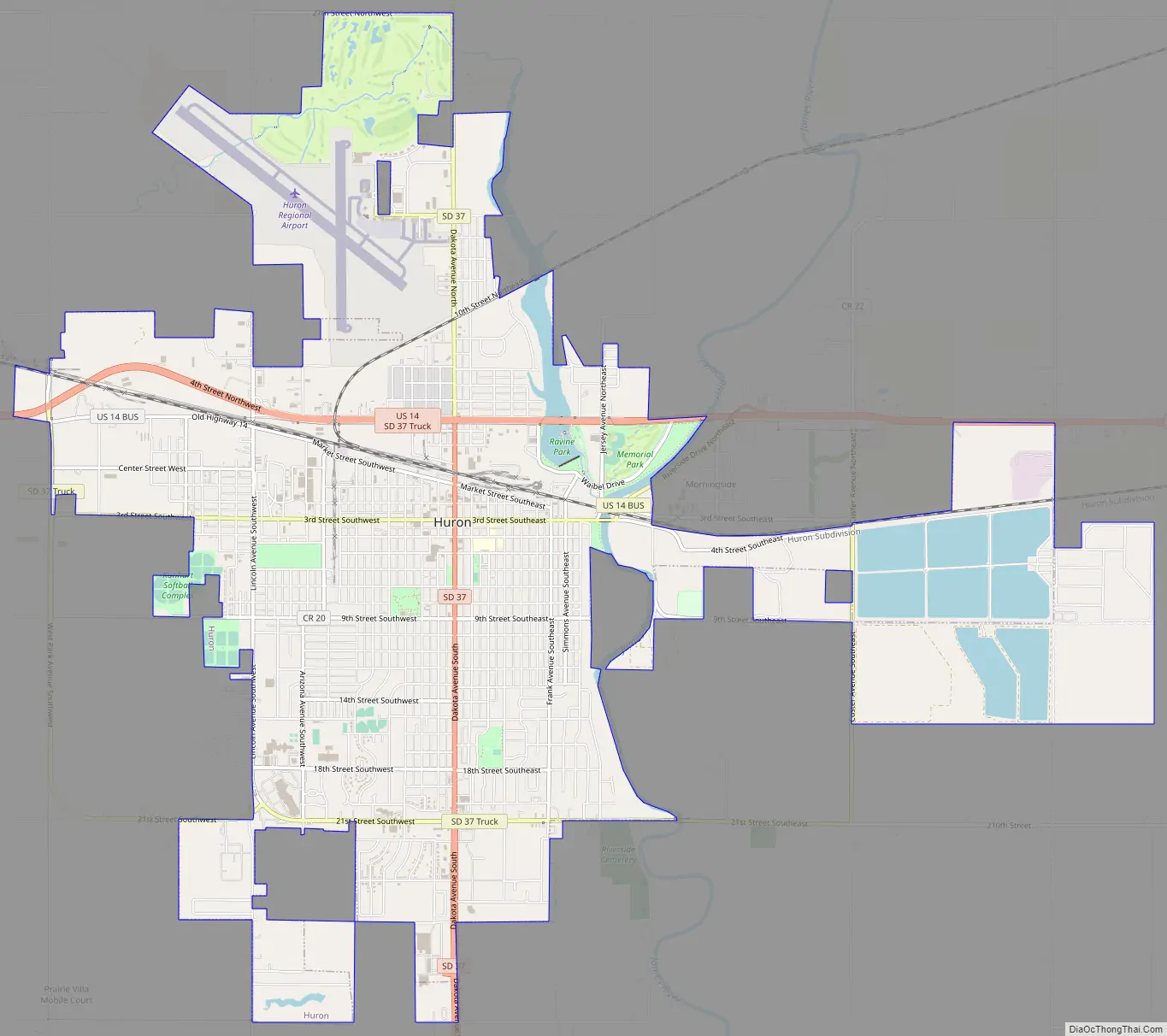
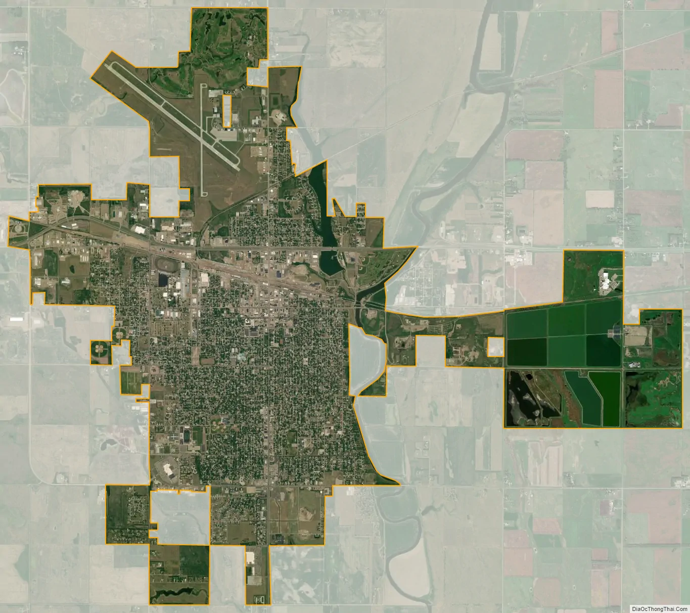
Huron city Satellite Map
Geography
According to the United States Census Bureau, the city has a total area of 10.57 square miles (27.38 km), of which 9.48 square miles (24.55 km) is land and 1.09 square miles (2.82 km) is water.
Climate
Huron has a humid continental climate, with hot, humid summers, cold, dry winters, and wide temperature extremes; it is part of USDA hardiness zone 4b. The normal monthly mean temperature ranges from 16.0 °F (−8.9 °C) in January to 73.7 °F (23.2 °C) in July. On average, there are 1.7 days that reach 100 °F (38 °C) or higher, 21.9 days that reach 90 °F (32 °C) or higher, 66.7 days that do not climb above freezing, 27.7 days with a low of 0 °F (−18 °C) or below, and 3.1 days that do not rise above 0 °F (−18 °C) annually. The average window for freezing temperatures are September 30 through May 5, allowing a growing season of 147 days. Extreme temperatures officially range from −43 °F (−42 °C) on January 12, 1912, and January 8, 1887, up to 112 °F (44 °C) on July 10, 1966; the record cold daily maximum is −21 °F (−29 °C) on January 14, 1888, while, conversely, the record warm daily minimum is 82 °F (28 °C) on July 11, 1936.
Precipitation is greatest in May and June and averages 23.32 in (592 mm) annually, but has ranged from 9.72 in (247 mm) in 1952 to 30.89 in (785 mm) in 2010. Snowfall averages 44.4 in (113 cm) per season, and has historically ranged from 10.1 in (26 cm) in 1930–31 to 89.6 in (228 cm) in 2000–01; the average window for measurable (≥0.1 in or 0.25 cm) snowfall is November 3 through April 11, although snow in October occurs several times per decade and snow in May is a much rarer event.
See also
Map of South Dakota State and its subdivision:- Aurora
- Beadle
- Bennett
- Bon Homme
- Brookings
- Brown
- Brule
- Buffalo
- Butte
- Campbell
- Charles Mix
- Clark
- Clay
- Codington
- Corson
- Custer
- Davison
- Day
- Deuel
- Dewey
- Douglas
- Edmunds
- Fall River
- Faulk
- Grant
- Gregory
- Haakon
- Hamlin
- Hand
- Hanson
- Harding
- Hughes
- Hutchinson
- Hyde
- Jackson
- Jerauld
- Jones
- Kingsbury
- Lake
- Lawrence
- Lincoln
- Lyman
- Marshall
- McCook
- McPherson
- Meade
- Mellette
- Miner
- Minnehaha
- Moody
- Pennington
- Perkins
- Potter
- Roberts
- Sanborn
- Shannon
- Spink
- Stanley
- Sully
- Todd
- Tripp
- Turner
- Union
- Walworth
- Yankton
- Ziebach
- Alabama
- Alaska
- Arizona
- Arkansas
- California
- Colorado
- Connecticut
- Delaware
- District of Columbia
- Florida
- Georgia
- Hawaii
- Idaho
- Illinois
- Indiana
- Iowa
- Kansas
- Kentucky
- Louisiana
- Maine
- Maryland
- Massachusetts
- Michigan
- Minnesota
- Mississippi
- Missouri
- Montana
- Nebraska
- Nevada
- New Hampshire
- New Jersey
- New Mexico
- New York
- North Carolina
- North Dakota
- Ohio
- Oklahoma
- Oregon
- Pennsylvania
- Rhode Island
- South Carolina
- South Dakota
- Tennessee
- Texas
- Utah
- Vermont
- Virginia
- Washington
- West Virginia
- Wisconsin
- Wyoming