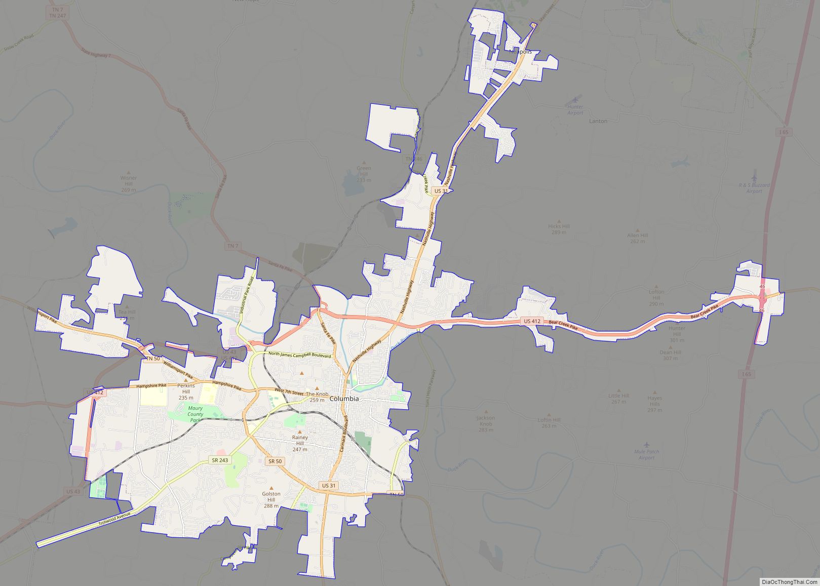
Map of Collierville town, Tennessee

Map of Collierville town, Tennessee

Collierville is a town in Shelby County, Tennessee, United States, and a suburb located in the Memphis metropolitan area. With a population of 51,324 in the 2020 census, Collierville is the third largest municipality in the county after Memphis and Bartlett. It is home to the Carriage Crossing shopping mall and is served by Collierville … Read more

Map of Collegedale city

Map of Collegedale city

Collegedale is a city in Hamilton County, Tennessee, United States. The population was 11,109 at the 2020 census. Collegedale is a suburb of Chattanooga and is part of the Chattanooga, TN–GA Metropolitan Statistical Area. Collegedale is home to Southern Adventist University. The median household income is one of the highest in Hamilton County. It has … Read more

Map of Coalmont city, Tennessee

Map of Coalmont city, Tennessee

Coalmont is a city in Grundy County, Tennessee, United States. Established in 1904, the city has an area of 6 square miles. The population was 841 at the 2010 census. Coalmont city overview: Name: Coalmont city LSAD Code: 25 LSAD Description: city (suffix) State: Tennessee County: Grundy County Elevation: 1,883 ft (574 m) Total Area: 6.19 sq mi (16.04 km²) … Read more

Map of Coalfield CDP

Map of Coalfield CDP

Coalfield is an unincorporated community and census-designated place (CDP) in Morgan County, Tennessee, United States. As of the 2010 census, the population of the CDP was 2,463, making Coalfield the most populous settlement in all of Morgan County. The community does have its own post office, with the ZIP code 37719. Coalfield CDP overview: Name: … Read more

Map of Cowan city, Tennessee

Map of Cowan city, Tennessee

Cowan is a city in Franklin County, Tennessee, United States. The population was 1,737 at the 2010 census. It is part of the Tullahoma, Tennessee Micropolitan Statistical Area. Cowan city overview: Name: Cowan city LSAD Code: 25 LSAD Description: city (suffix) State: Tennessee County: Franklin County Elevation: 974 ft (297 m) Total Area: 2.08 sq mi (5.38 km²) Land Area: … Read more

Map of Covington city, Tennessee

Map of Covington city, Tennessee

Covington is a city in central Tipton County, Tennessee, United States. Covington is the second largest city and county seat of Tipton County. The city is located in West Tennessee, 12 mi (19 km) east of the Mississippi River. The city’s population was 9,038 at the time of the 2010 U.S. Census. Located 42 mi (68 km) northeast of … Read more

Map of Cottontown CDP

Map of Cottontown CDP

Cottontown is an unincorporated community and census-designated place (CDP) in Sumner and Robertson counties, Tennessee, United States. It was named for Capt. Thomas Cotton, a Revolutionary War veteran from North Carolina. As of the 2010 census, its population was 367. It is located along State Route 25 northwest of neighboring Gallatin. The area has its … Read more

Map of Cottage Grove town, Tennessee

Map of Cottage Grove town, Tennessee

Cottage Grove is a town in Henry County, Tennessee, United States. The population was 88 at the 2010 census. Cottage Grove is currently the smallest town in Tennessee. Cottage Grove town overview: Name: Cottage Grove town LSAD Code: 43 LSAD Description: town (suffix) State: Tennessee County: Henry County Elevation: 571 ft (174 m) Total Area: 0.17 sq mi (0.44 km²) … Read more

Map of Cornersville town

Map of Cornersville town

Cornersville is a town in Marshall County, Tennessee, United States. The population was 1,228 at the 2020 census. Cornersville town overview: Name: Cornersville town LSAD Code: 43 LSAD Description: town (suffix) State: Tennessee County: Marshall County Elevation: 883 ft (269 m) Total Area: 5.55 sq mi (14.38 km²) Land Area: 5.55 sq mi (14.38 km²) Water Area: 0.00 sq mi (0.00 km²) Total Population: 1,228 Population … Read more

Map of Cumberland City town

Map of Cumberland City town

Cumberland City is a town in Stewart County, Tennessee. The population was 311 at the 2010 census. It is part of the Clarksville, TN — Kentucky Metropolitan Statistical Area. Cumberland City is the site of a TVA Cumberland Fossil Plant along the Cumberland River that provides 2.6 gigawatts of electric power to much of the … Read more

Map of Crump city

Map of Crump city

Crump is a city in Hardin County, Tennessee, United States. The population was 1,428 at the 2010 census, and 1,594 at the 2020 census. Crump city overview: Name: Crump city LSAD Code: 25 LSAD Description: city (suffix) State: Tennessee County: Hardin County Elevation: 456 ft (139 m) Total Area: 12.69 sq mi (32.87 km²) Land Area: 12.68 sq mi (32.84 km²) Water Area: … Read more

Map of Crossville city, Tennessee

Map of Crossville city, Tennessee

Crossville is a city in and the county seat of Cumberland County, Tennessee, United States. It is part of the Crossville Micropolitan Statistical Area. The population was 12,071 at the 2020 census. Crossville city overview: Name: Crossville city LSAD Code: 25 LSAD Description: city (suffix) State: Tennessee County: Cumberland County Incorporated: 1901 Elevation: 1,857 ft (566 m) … Read more