Coalfield is an unincorporated community and census-designated place (CDP) in Morgan County, Tennessee, United States. As of the 2010 census, the population of the CDP was 2,463, making Coalfield the most populous settlement in all of Morgan County. The community does have its own post office, with the ZIP code 37719.
| Name: | Coalfield CDP |
|---|---|
| LSAD Code: | 57 |
| LSAD Description: | CDP (suffix) |
| State: | Tennessee |
| County: | Morgan County |
| Elevation: | 1,030 ft (310 m) |
| Total Area: | 24.73 sq mi (64.06 km²) |
| Land Area: | 24.73 sq mi (64.06 km²) |
| Water Area: | 0.00 sq mi (0.00 km²) |
| Total Population: | 2,361 |
| Population Density: | 95.46/sq mi (36.86/km²) |
| ZIP code: | 37719 |
| Area code: | 423, 865 |
| FIPS code: | 4715880 |
| GNISfeature ID: | 1306005 |
Online Interactive Map
Click on ![]() to view map in "full screen" mode.
to view map in "full screen" mode.
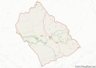
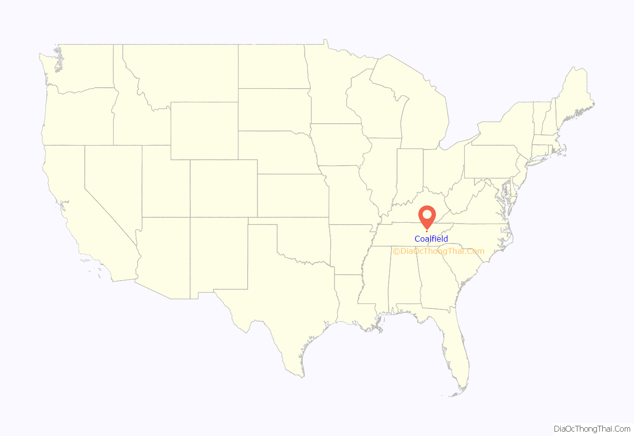
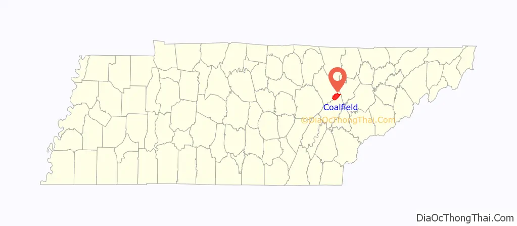
Coalfield location map. Where is Coalfield CDP?
History
Coalfield was originally known as “Ruffner’s Station” after Shack Ruffner, an early settler who built a mill in the area. The name “Coalfield” reflects the community’s coal mining tradition. It was the site of Coalfield Camp No. 1 and Coalfield Camp No. 2.
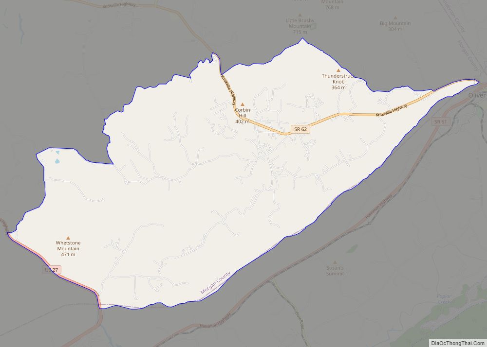
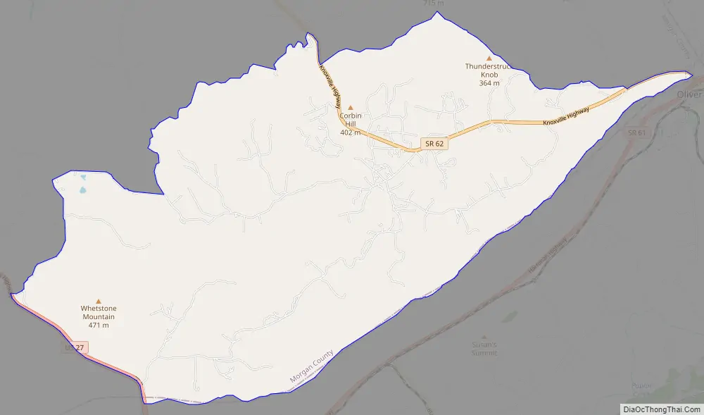
Coalfield Road Map
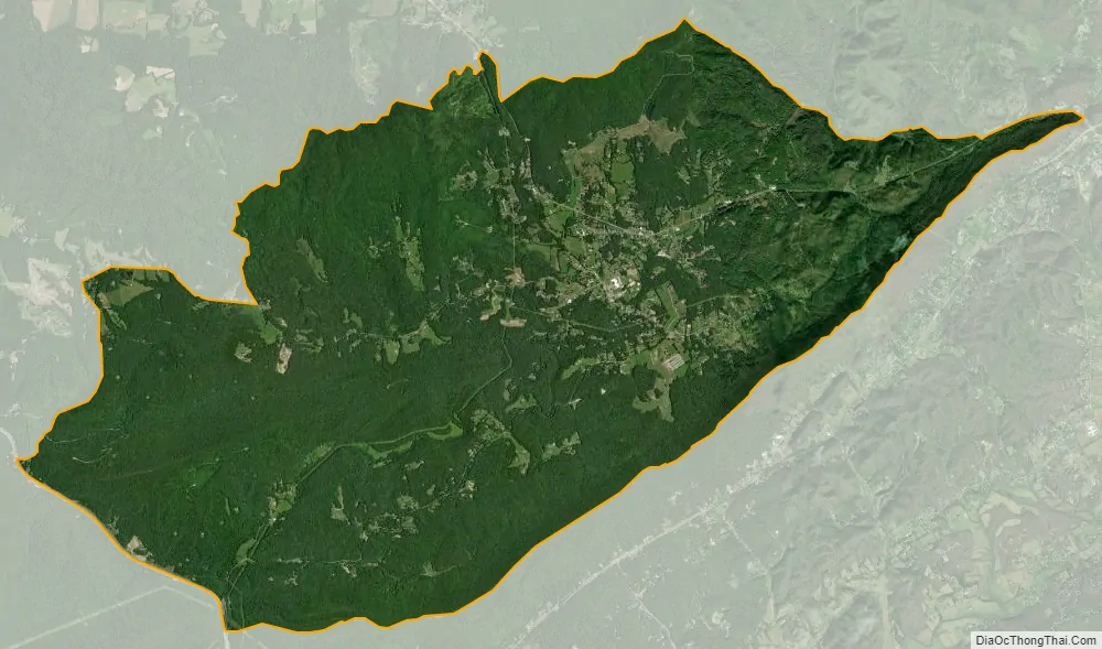
Coalfield city Satellite Map
Geography
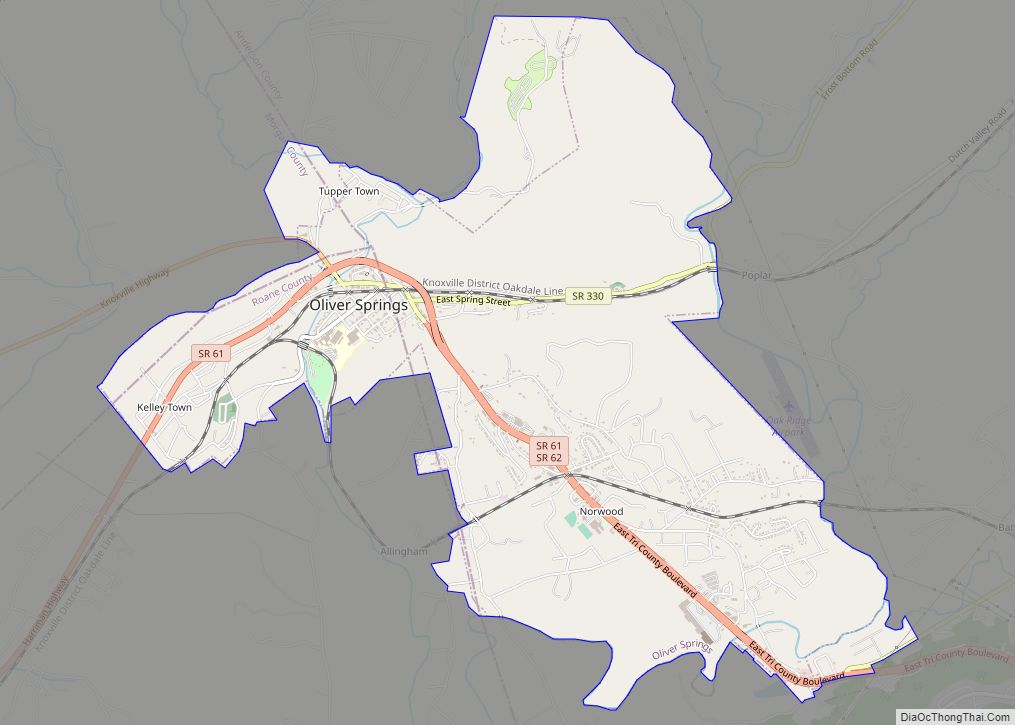
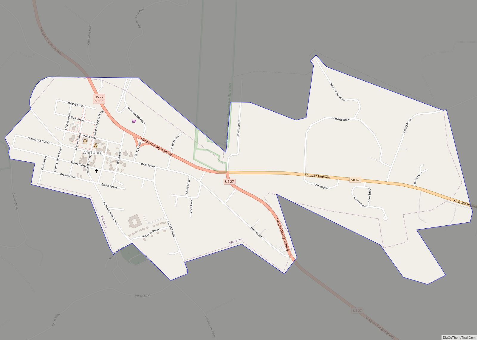
Coalfield is between Wartburg and Oliver Springs on Tennessee State Route 62. To the west are Frozen Head State Park and the community of Joyner, Tennessee.
See also
Map of Tennessee State and its subdivision:- Anderson
- Bedford
- Benton
- Bledsoe
- Blount
- Bradley
- Campbell
- Cannon
- Carroll
- Carter
- Cheatham
- Chester
- Claiborne
- Clay
- Cocke
- Coffee
- Crockett
- Cumberland
- Davidson
- Decatur
- DeKalb
- Dickson
- Dyer
- Fayette
- Fentress
- Franklin
- Gibson
- Giles
- Grainger
- Greene
- Grundy
- Hamblen
- Hamilton
- Hancock
- Hardeman
- Hardin
- Hawkins
- Haywood
- Henderson
- Henry
- Hickman
- Houston
- Humphreys
- Jackson
- Jefferson
- Johnson
- Knox
- Lake
- Lauderdale
- Lawrence
- Lewis
- Lincoln
- Loudon
- Macon
- Madison
- Marion
- Marshall
- Maury
- McMinn
- McNairy
- Meigs
- Monroe
- Montgomery
- Moore
- Morgan
- Obion
- Overton
- Perry
- Pickett
- Polk
- Putnam
- Rhea
- Roane
- Robertson
- Rutherford
- Scott
- Sequatchie
- Sevier
- Shelby
- Smith
- Stewart
- Sullivan
- Sumner
- Tipton
- Trousdale
- Unicoi
- Union
- Van Buren
- Warren
- Washington
- Wayne
- Weakley
- White
- Williamson
- Wilson
- Alabama
- Alaska
- Arizona
- Arkansas
- California
- Colorado
- Connecticut
- Delaware
- District of Columbia
- Florida
- Georgia
- Hawaii
- Idaho
- Illinois
- Indiana
- Iowa
- Kansas
- Kentucky
- Louisiana
- Maine
- Maryland
- Massachusetts
- Michigan
- Minnesota
- Mississippi
- Missouri
- Montana
- Nebraska
- Nevada
- New Hampshire
- New Jersey
- New Mexico
- New York
- North Carolina
- North Dakota
- Ohio
- Oklahoma
- Oregon
- Pennsylvania
- Rhode Island
- South Carolina
- South Dakota
- Tennessee
- Texas
- Utah
- Vermont
- Virginia
- Washington
- West Virginia
- Wisconsin
- Wyoming