Cowan is a city in Franklin County, Tennessee, United States. The population was 1,737 at the 2010 census. It is part of the Tullahoma, Tennessee Micropolitan Statistical Area.
| Name: | Cowan city |
|---|---|
| LSAD Code: | 25 |
| LSAD Description: | city (suffix) |
| State: | Tennessee |
| County: | Franklin County |
| Elevation: | 974 ft (297 m) |
| Total Area: | 2.08 sq mi (5.38 km²) |
| Land Area: | 2.08 sq mi (5.38 km²) |
| Water Area: | 0.00 sq mi (0.00 km²) |
| Total Population: | 1,759 |
| Population Density: | 846.49/sq mi (326.84/km²) |
| ZIP code: | 37318 |
| Area code: | 931 |
| FIPS code: | 4717700 |
| GNISfeature ID: | 1306151 |
| Website: | www.cityofcowan.com |
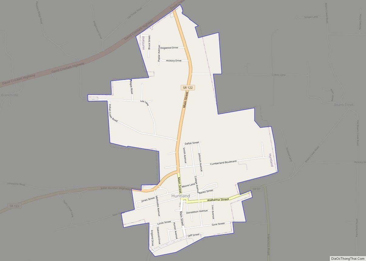
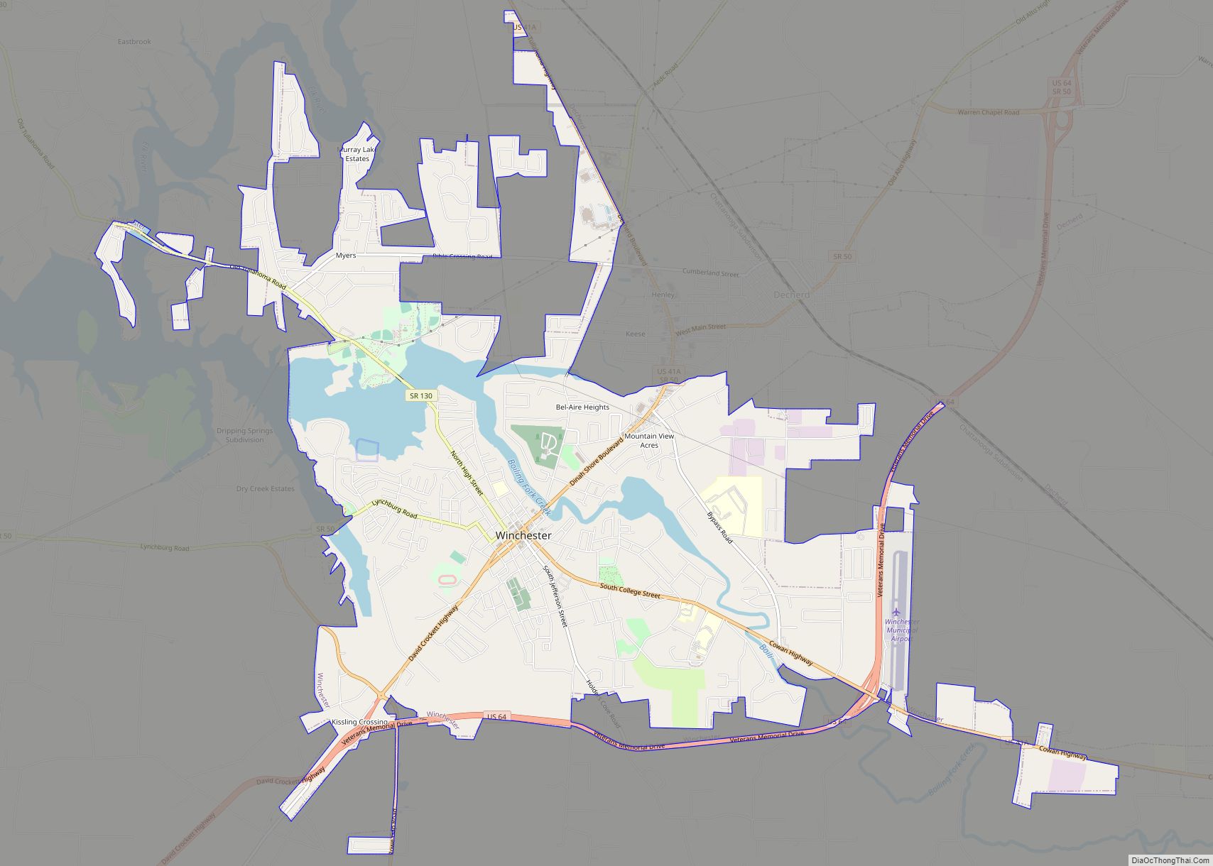
Online Interactive Map
Click on ![]() to view map in "full screen" mode.
to view map in "full screen" mode.
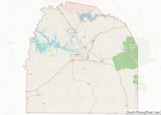
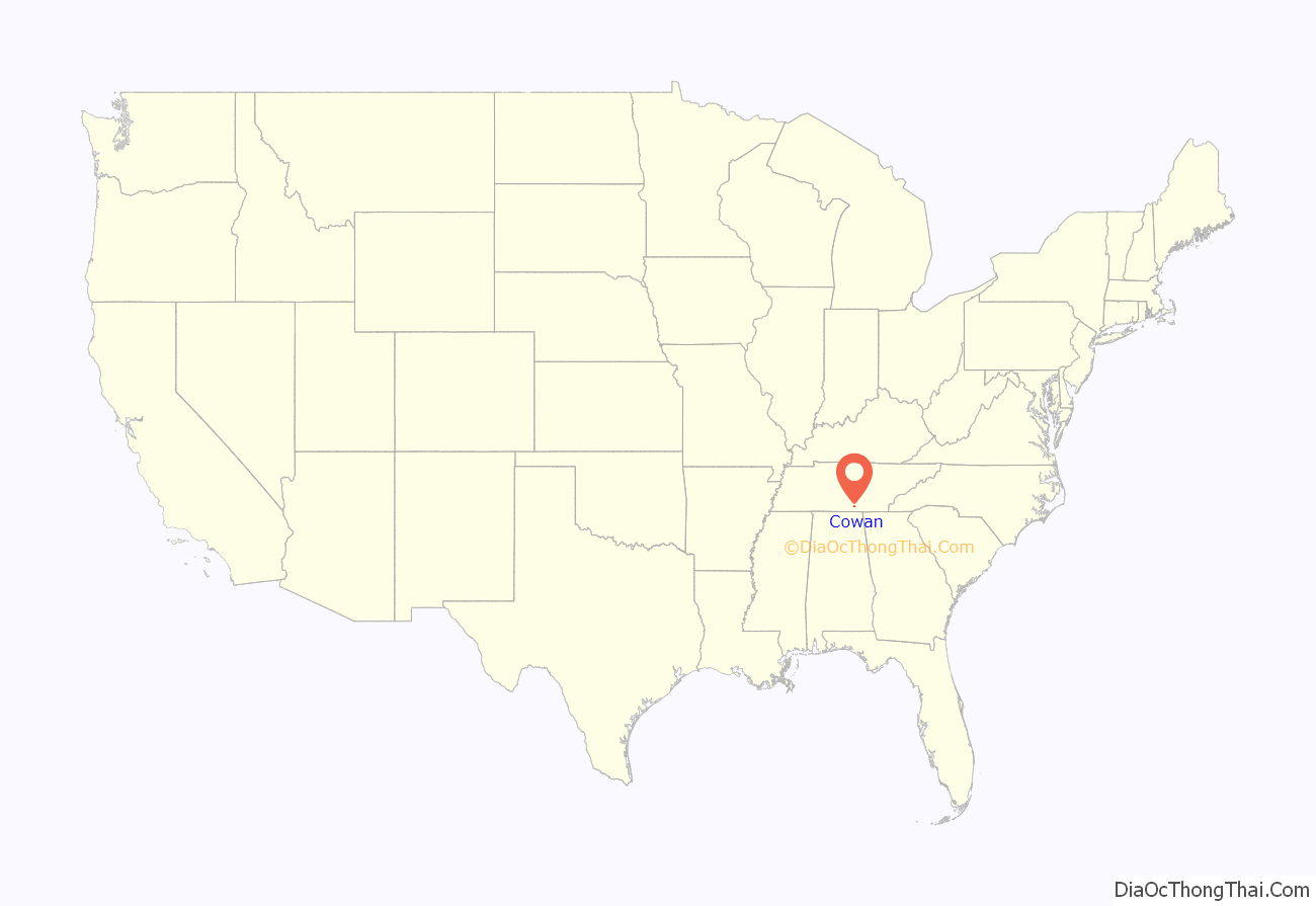
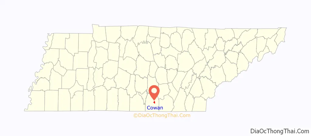
Cowan location map. Where is Cowan city?
History
The earliest settlers arrived in the Cowan area in the late 18th and early 19th centuries. The home of one such settler, William Russell, served as the Franklin County Courthouse until the establishment of Winchester in 1810. The town was named for Dr. James Benjamin Cowan, a Civil War-era doctor whose family had lived in the area since the early 1800s.
The town of Cowan dates from the mid-19th century and developed mostly as a railroad town. It was the site where several branch lines met the main Nashville to Chattanooga trunk of the Nashville, Chattanooga and St. Louis Railway which ran through the important Cowan Tunnel. As the last stop before the uphill climb onto the nearby Cumberland Plateau, pusher engines to assist trains in making the steep ascent were based there, and are still in use today.
The town’s economy declined with the importance of the railroad after U.S. Route 41A was built in the 1940s. The old passenger depot, built in 1904, was restored as a museum, and is a focal point of the downtown area.
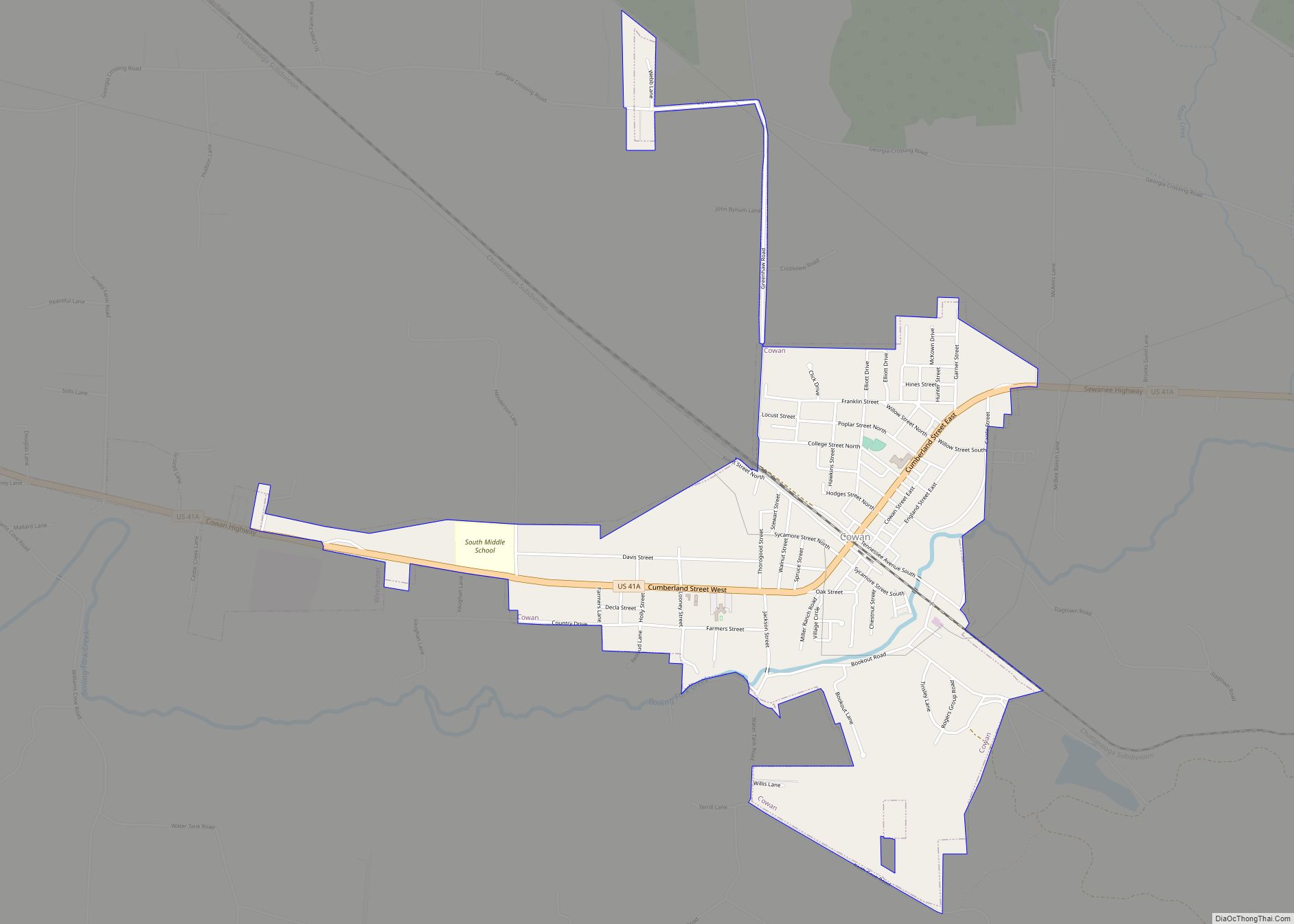
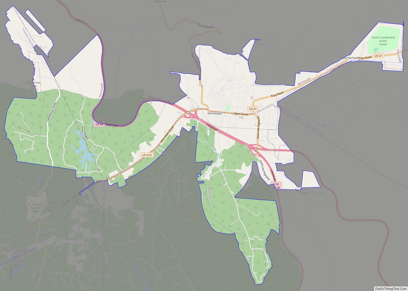
Cowan Road Map
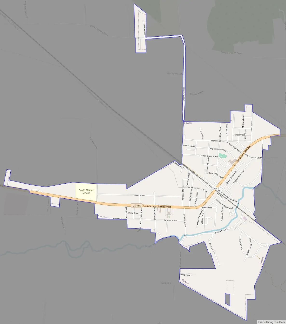
Cowan city Satellite Map

Geography
Cowan is located at 35°10′0″N 86°0′43″W / 35.16667°N 86.01194°W / 35.16667; -86.01194 (35.166668, -86.011839). The city is situated at the western base of the Cumberland Plateau, and is concentrated around the point where U.S. Route 41A crosses the CSX railroad tracks. The edge of the Plateau juts out in a series of ridges creating several small valleys in the area, including Hawkins Cove to the northeast and Keith Cove to the south. Cowan is drained by Boiling Fork Creek, a tributary of the Elk River.
US 41A (Cumberland Street) is the primary road in Cowan, connecting the city with Winchester and the Tims Ford Lake area to the west. To the east of Cowan, US 41A ascends nearly 1,000 feet (300 m) to the top of the Cumberland Plateau, where it passes through Sewanee and Monteagle.
According to the United States Census Bureau, the city has a total area of 2.0 square miles (5.2 km), all land.
See also
Map of Tennessee State and its subdivision:- Anderson
- Bedford
- Benton
- Bledsoe
- Blount
- Bradley
- Campbell
- Cannon
- Carroll
- Carter
- Cheatham
- Chester
- Claiborne
- Clay
- Cocke
- Coffee
- Crockett
- Cumberland
- Davidson
- Decatur
- DeKalb
- Dickson
- Dyer
- Fayette
- Fentress
- Franklin
- Gibson
- Giles
- Grainger
- Greene
- Grundy
- Hamblen
- Hamilton
- Hancock
- Hardeman
- Hardin
- Hawkins
- Haywood
- Henderson
- Henry
- Hickman
- Houston
- Humphreys
- Jackson
- Jefferson
- Johnson
- Knox
- Lake
- Lauderdale
- Lawrence
- Lewis
- Lincoln
- Loudon
- Macon
- Madison
- Marion
- Marshall
- Maury
- McMinn
- McNairy
- Meigs
- Monroe
- Montgomery
- Moore
- Morgan
- Obion
- Overton
- Perry
- Pickett
- Polk
- Putnam
- Rhea
- Roane
- Robertson
- Rutherford
- Scott
- Sequatchie
- Sevier
- Shelby
- Smith
- Stewart
- Sullivan
- Sumner
- Tipton
- Trousdale
- Unicoi
- Union
- Van Buren
- Warren
- Washington
- Wayne
- Weakley
- White
- Williamson
- Wilson
- Alabama
- Alaska
- Arizona
- Arkansas
- California
- Colorado
- Connecticut
- Delaware
- District of Columbia
- Florida
- Georgia
- Hawaii
- Idaho
- Illinois
- Indiana
- Iowa
- Kansas
- Kentucky
- Louisiana
- Maine
- Maryland
- Massachusetts
- Michigan
- Minnesota
- Mississippi
- Missouri
- Montana
- Nebraska
- Nevada
- New Hampshire
- New Jersey
- New Mexico
- New York
- North Carolina
- North Dakota
- Ohio
- Oklahoma
- Oregon
- Pennsylvania
- Rhode Island
- South Carolina
- South Dakota
- Tennessee
- Texas
- Utah
- Vermont
- Virginia
- Washington
- West Virginia
- Wisconsin
- Wyoming