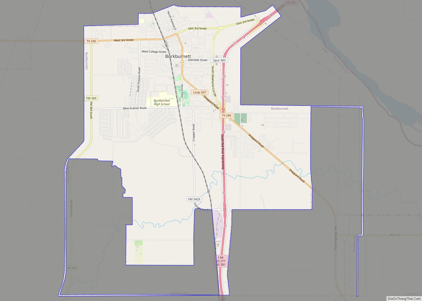
Burkburnett is a city in Wichita County, Texas, United States. It is part of the Wichita Falls, Texas metropolitan statistical area. Its population was 10,811 at the 2010 census. The community newspaper, the Burkburnett Informer/Star, is published each Thursday. Burkburnett city overview: Name: Burkburnett city LSAD Code: 25 LSAD Description: city (suffix) State: Texas County: ... Read more
Texas Cities and Places
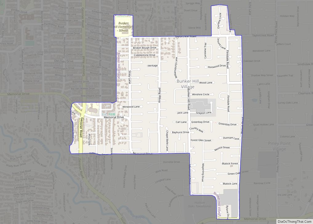
Bunker Hill Village is a city in Harris County, Texas, United States, part of Houston–The Woodlands–Sugar Land metropolitan area. The population was 3,822 at the 2020 census. It is part of a collection of upscale residential communities in west Houston known as the Memorial Villages. As of 2010, Bunker Hill Village was the 6th wealthiest ... Read more
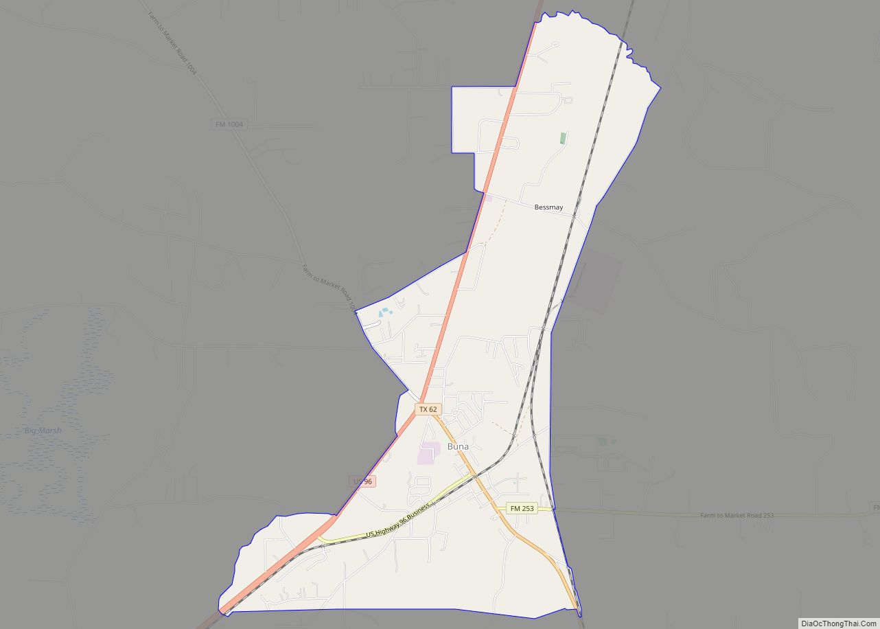
Buna (/ˈbjuːnə/ BEW-nə) is an unincorporated community and census-designated place (CDP) in Jasper County, Texas, United States. The population was 2,137 at the 2020 census. Buna CDP overview: Name: Buna CDP LSAD Code: 57 LSAD Description: CDP (suffix) State: Texas County: Jasper County Elevation: 75 ft (23 m) Total Area: 6.02 sq mi (15.58 km²) Land Area: 6.01 sq mi (15.57 km²) Water ... Read more
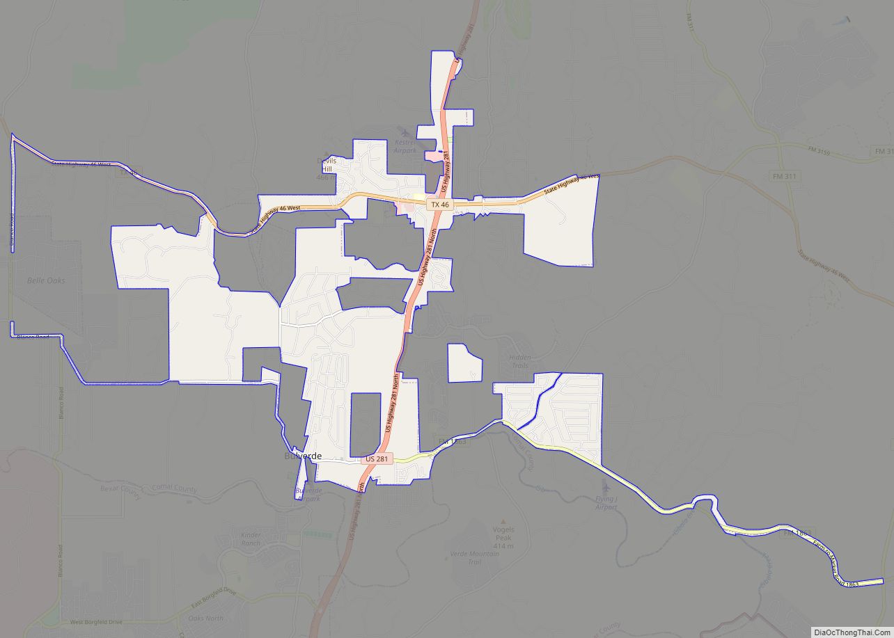
Bulverde (/bʊlˈvɜːrdi/ buul-VUR-dee) is a city in Comal County, Texas, United States. Bulverde is known for its small-town, slow pace of life, coupled with the German emigrant history of the town’s founders. Bulverde was originally named Piepers Settlement after a prominent German pioneer. Its population was 5,692 at the 2020 census, up from 4,630 at ... Read more
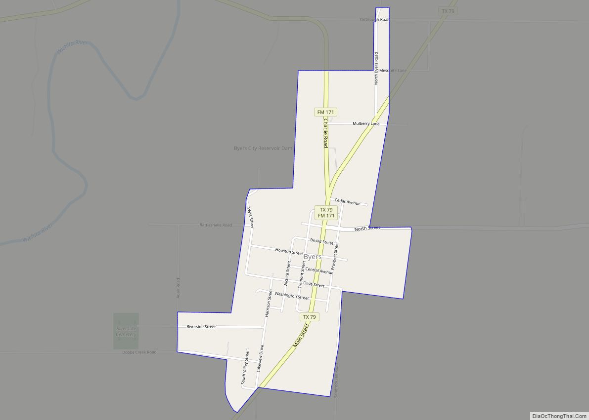
Byers is a city in Clay County, Texas, United States. It is part of the Wichita Falls, Texas Metropolitan Statistical Area. The population was 496 at the 2010 census. Byers city overview: Name: Byers city LSAD Code: 25 LSAD Description: city (suffix) State: Texas County: Clay County Elevation: 1,010 ft (308 m) Total Area: 1.02 sq mi (2.63 km²) Land ... Read more
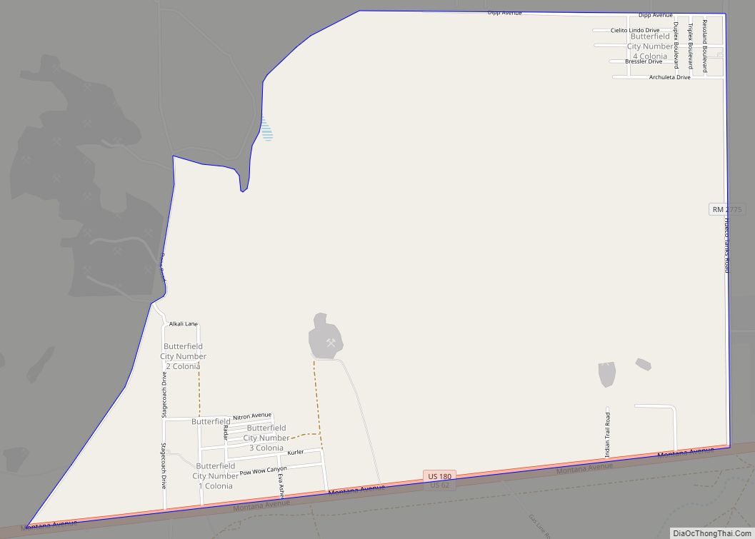
Butterfield is a census-designated place (CDP) in El Paso County, Texas, United States. The population was 114 at the 2010 census. It is part of the El Paso Metropolitan Statistical Area. The ZIP Code encompassing the CDP area is 79938. Butterfield CDP overview: Name: Butterfield CDP LSAD Code: 57 LSAD Description: CDP (suffix) State: Texas ... Read more
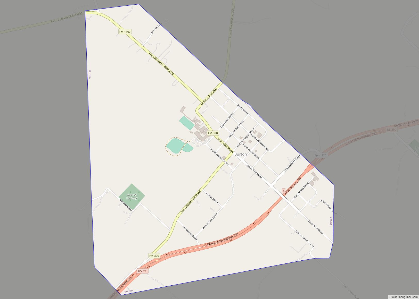
Burton is a city in Washington County, Texas, United States. The population was 359 at the 2000 census. Prior to the 2010 census, Burton changed its status from a town to a city. The population was 300 at the 2010 census. Burton city overview: Name: Burton city LSAD Code: 25 LSAD Description: city (suffix) State: ... Read more
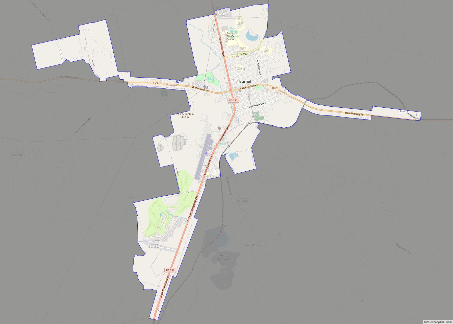
Burnet (/ˈbɜːrnɪt/ BUR-nit) is a city in and the county seat of Burnet County, Texas, United States. Its population was 6,436 at the 2020 census. Both the city and the county were named for David Gouverneur Burnet, the first (provisional) president of the Republic of Texas. He also served as vice president during the administration ... Read more
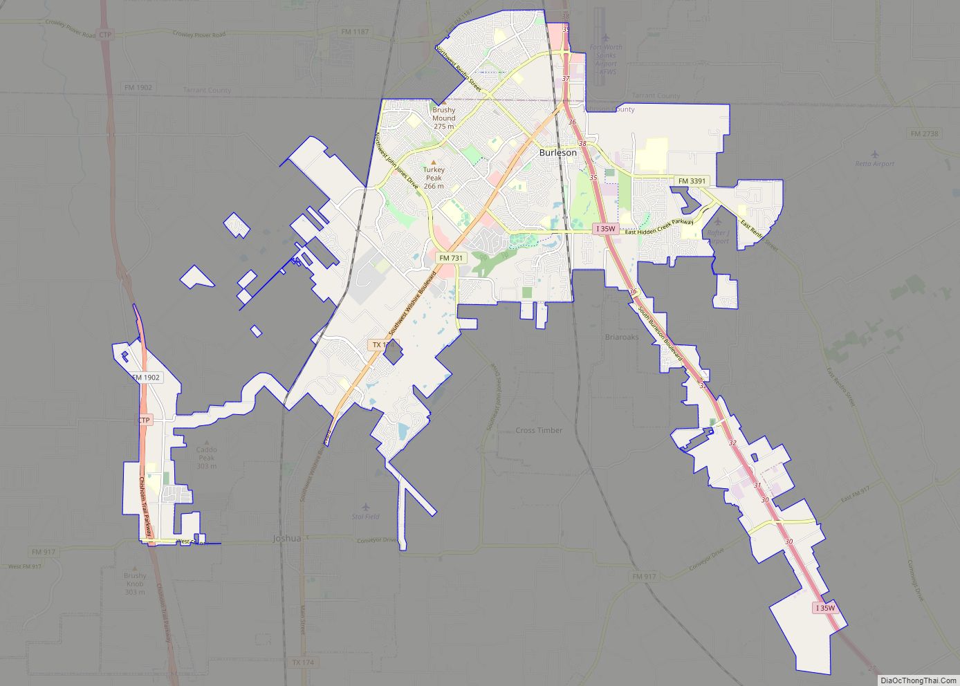
Burleson (/ˈbɜːrlɪsən/ BUR-li-sən) is a city in Johnson and Tarrant counties in the U.S. state of Texas. It is a suburb of Fort Worth. As of the 2010 census it had a population of 36,690, and in 2019 it had an estimated population of 48,225. Burleson city overview: Name: Burleson city LSAD Code: 25 LSAD ... Read more
Burke is a city in southwestern Angelina County, Texas, United States. The population was 737 at the 2010 census. Burke city overview: Name: Burke city LSAD Code: 25 LSAD Description: city (suffix) State: Texas County: Angelina County Elevation: 272 ft (83 m) Total Area: 2.85 sq mi (7.37 km²) Land Area: 2.82 sq mi (7.29 km²) Water Area: 0.03 sq mi (0.08 km²) Total Population: 737 ... Read more
Cameron is a city in Milam County, Texas, United States. Its population was 5,306 at the 2020 census. It is the county seat of Milam County. Cameron city overview: Name: Cameron city LSAD Code: 25 LSAD Description: city (suffix) State: Texas County: Milam County Elevation: 400 ft (100 m) Total Area: 5.24 sq mi (13.57 km²) Land Area: 5.24 sq mi (13.57 km²) ... Read more
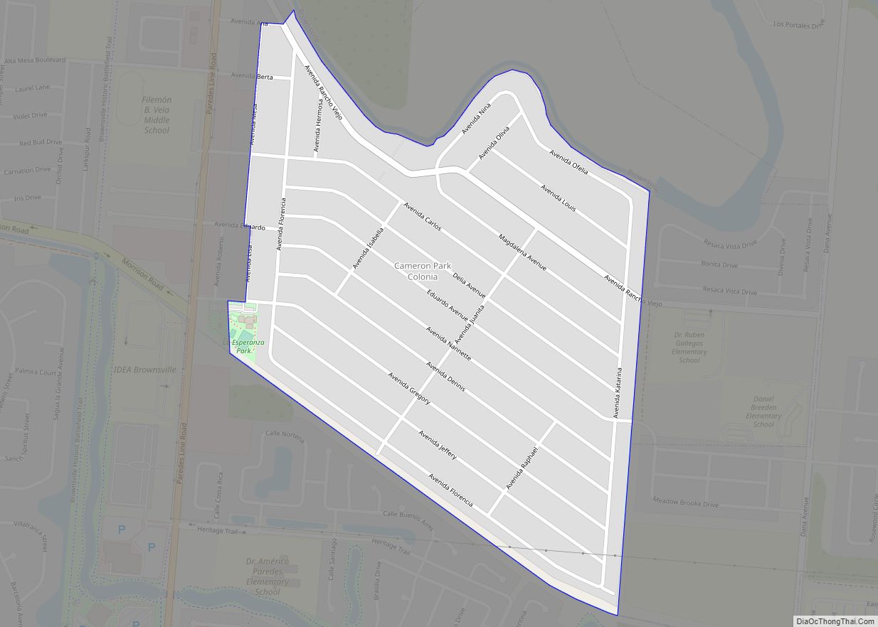
Cameron Park is a census-designated place (CDP) in Cameron County, Texas, United States. The population was 6,963 at the 2010 census. It is part of the Brownsville–Harlingen Metropolitan Statistical Area. Cameron Park CDP overview: Name: Cameron Park CDP LSAD Code: 57 LSAD Description: CDP (suffix) State: Texas County: Cameron County Elevation: 16 ft (5 m) Total Area: ... Read more
