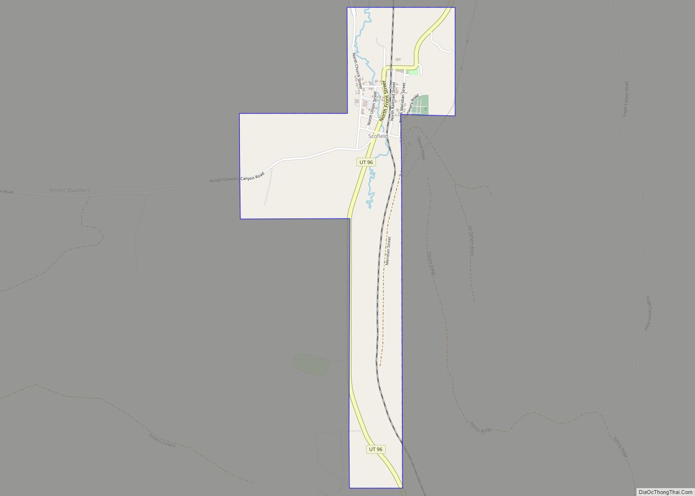
Scofield is a town in Carbon County, Utah, United States. The population was 23 at the 2010 census. Scofield’s name is frequently applied to the 1900 mine disaster in the Pleasant Valley Coal Company’s Winter Quarters mine. The community was named for General Charles W. Scofield, a timber contractor and local mine official. It is ... Read more
Utah Cities and Places
Spring Glen is a census-designated place in Carbon County, in eastern Utah, United States. The population was 1,126 at the 2010 census. Founded in 1878, Spring Glen was the first permanent settlement in what is now Carbon County. First settled principally by white Mormon farmers, the community became much more diverse after about 1890, when ... Read more
Spring City is a city in Sanpete County, Utah, United States. The population was 988 at the 2010 census. Spring City city overview: Name: Spring City city LSAD Code: 25 LSAD Description: city (suffix) State: Utah County: Sanpete County Elevation: 5,823 ft (1,775 m) Total Area: 1.41 sq mi (3.66 km²) Land Area: 1.41 sq mi (3.66 km²) Water Area: 0.00 sq mi (0.00 km²) Total ... Read more
The United States Census Bureau defines Spanish Valley as a census-designated place (CDP) in San Juan County, Utah, United States. In common usage, Spanish Valley typically refers to the geographic valley that extends south of the city of Moab, most of which lies within Grand County, the northern neighbor of San Juan County. Maps of ... Read more
Spanish Fork is a city in Utah County, Utah, United States. It is part of the Provo–Orem Metropolitan Statistical Area. The 2020 census reported a population of 42,602. Spanish Fork, Utah is the 20th largest city in Utah based on official 2017 estimates from the US Census Bureau. Spanish Fork lies in the Utah Valley, ... Read more
South Willard is a census-designated place (CDP) in Box Elder County, Utah, United States. The population was 1,571 at the 2010 census. South Willard CDP overview: Name: South Willard CDP LSAD Code: 57 LSAD Description: CDP (suffix) State: Utah County: Box Elder County Elevation: 4,331 ft (1,320 m) Total Area: 5.8 sq mi (15.1 km²) Land Area: 5.8 sq mi (15.1 km²) Water ... Read more
Stansbury Park is a census-designated place (CDP) in Tooele County, Utah, United States. As of the 2020 United States Census, the population was 9,851, up from the 2010 figure of 5,145. Stansbury Park is located in the northern end of Tooele Valley at the base of the Oquirrh Mountains. Traveling by Interstate 80, Stansbury Park ... Read more
St. George is a city in and the county seat of Washington County, Utah, United States. Located in southwestern Utah on the Arizona border, it is the principal city of the St. George Metropolitan Statistical Area (MSA). The city lies in the northeasternmost part of the Mojave Desert, adjacent to the Pine Valley Mountains and ... Read more
Springville is a city in Utah County, Utah, United States, that is part of the Provo–Orem metropolitan area. The population was 35,268 in 2020, according to the United States Census. Springville is a bedroom community for commuters who work in the Provo–Orem and Salt Lake City metropolitan areas. Other neighboring cities include Spanish Fork and ... Read more
Springdale is a town in Washington County, Utah, United States. The population was 529 at the 2010 census. It is located immediately outside the boundaries of Zion National Park, and is oriented around the resulting tourist industry. It was originally settled as a Mormon farming community in 1862 by evacuees from the flooding of nearby ... Read more
Spring Lake is a census-designated place (CDP) in southern Utah County, Utah, United States. It is part of the Provo–Orem Metropolitan Statistical Area. The population was 458 at the 2010 census. It is an unincorporated part of Utah County, located just south of Payson and north of Santaquin. Spring Lake CDP overview: Name: Spring Lake ... Read more
Teasdale is a census-designated place in western Wayne County, Utah, United States, between the Dixie and Fishlake National Forests and near Capitol Reef National Park. The population was 191 at the 2010 census. Teasdale lies along local roads south of State Route 24, southeast of the town of Loa, the county seat of Wayne County. ... Read more