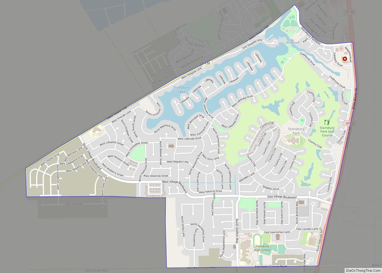
Stansbury Park is a census-designated place (CDP) in Tooele County, Utah, United States. As of the 2020 United States Census, the population was 9,851, up from the 2010 figure of 5,145.
Stansbury Park is located in the northern end of Tooele Valley at the base of the Oquirrh Mountains. Traveling by Interstate 80, Stansbury Park is 35 minutes from downtown Salt Lake City.
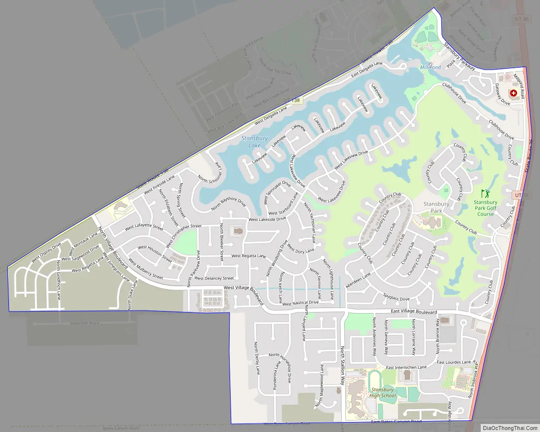
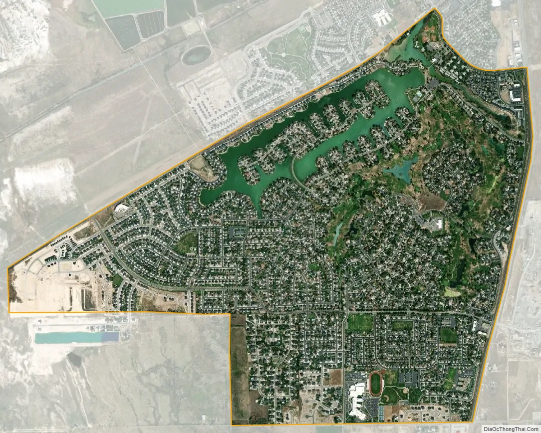
Stansbury Park was proposed by the original developer (Terracor) as a planned community with a lake for sailing and canoeing, an eighteen-hole golf course, clubhouse, swimming pool, and parks. Although the original developer withdrew from the scene in the 1980s due to bankruptcy, that plan has generally been followed. The parks throughout Stansbury Park include baseball diamonds, soccer fields, basketball courts, tennis courts, play areas for children, skateboard park, and an astronomical observatory. A large park northwest of Utah State Route 138 is being developed. A natural lake (The Mill Pond) exists on the northern edge of the area; it is fed by a spring at its southeast end. The outflow water from this lake is piped around the Oquirrh Mountain Range (east of Stansbury Park) to the Kennecott Company’s copper mine refinery operation (the runoff water from the lake enters a large pipe NW of the Benson Grist Mill for transport to the Kennecott operation).
The area includes several businesses, clustered in two developments at the southeast and northeast corners of the area along Utah State Route 36.
As of 2019, the community is not incorporated; thus all municipal services (except for water and sewer service) are provided by Tooele County. A proposal to incorporate was voted down in November 2016.
| Name: | Stansbury Park CDP |
|---|---|
| LSAD Code: | 57 |
| LSAD Description: | CDP (suffix) |
| State: | Utah |
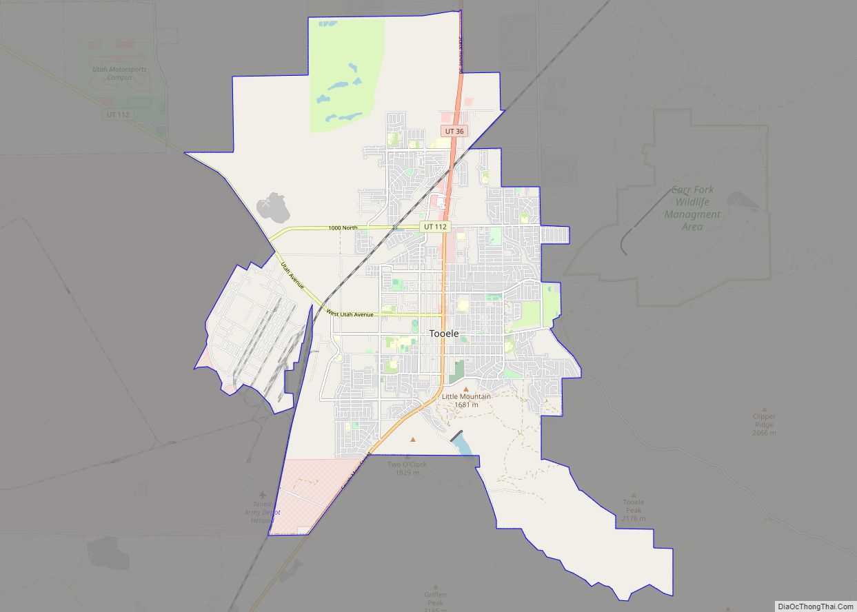
| County: | Tooele County |
| Elevation: | 4,295 ft (1,309 m) |
| Total Area: | 1.5 sq mi (3.8 km²) |
| Land Area: | 1.3 sq mi (3.4 km²) |
| Water Area: | 0.2 sq mi (0.5 km²) |
| Total Population: | 9,851 |
| ZIP code: | 84074 |
| Area code: | 435 |
| FIPS code: | 4972720 |
| GNISfeature ID: | 1436424 |
Online Interactive Map
Click on ![]() to view map in "full screen" mode.
to view map in "full screen" mode.
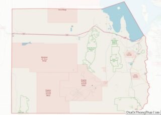
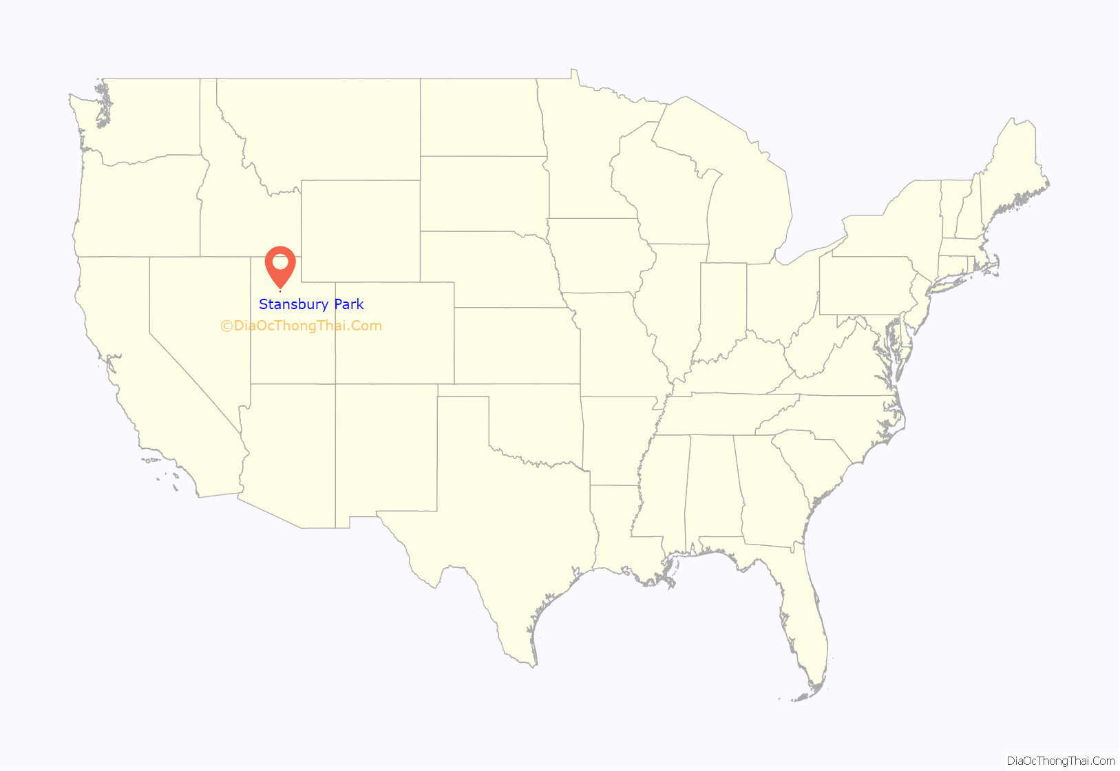
Stansbury Park location map. Where is Stansbury Park CDP?
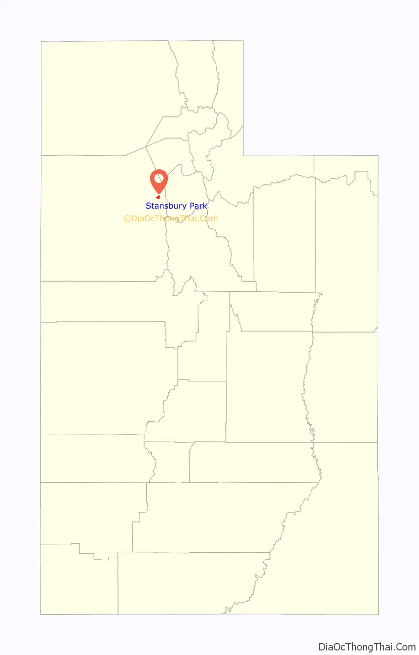
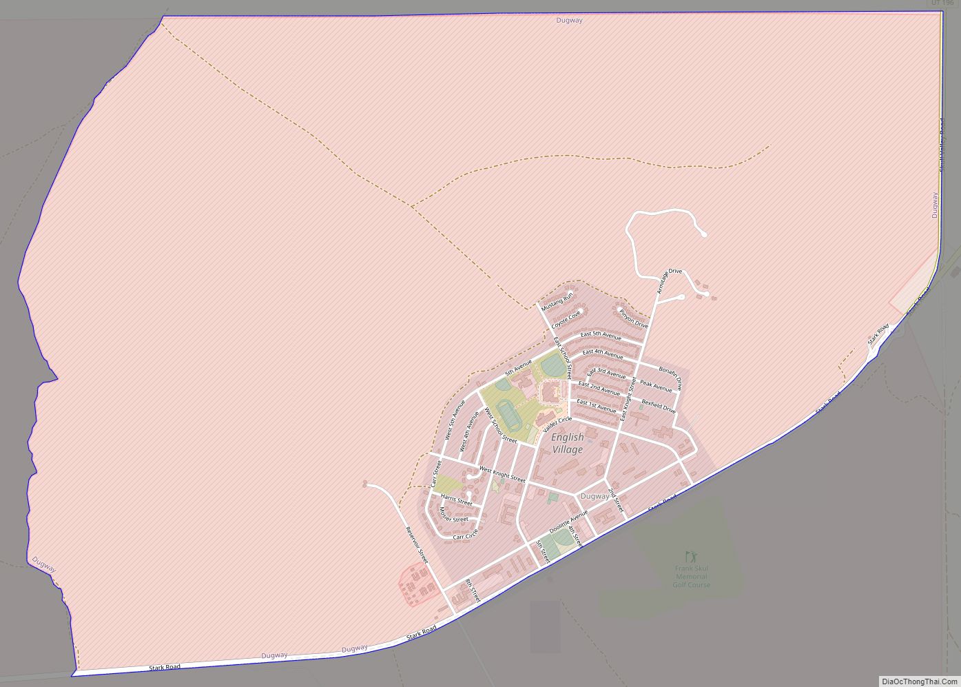
Stansbury Park Road Map
Stansbury Park city Satellite Map
Geography
Stansbury Park is located on State Route 36, approximately 6 miles (9.7 km) north of the city of Tooele.
According to the United States Census Bureau, the CDP has a total area of 1.5 square miles (3.9 km), of which 1.3 square miles (3.4 km) is land and 0.2 square miles (0.52 km) (12.84%) is water.
Stansbury Park is approximately 23 miles (30 minutes) from the Salt Lake International Airport
See also
Map of Utah State and its subdivision: Map of other states:- Alabama
- Alaska
- Arizona
- Arkansas
- California
- Colorado
- Connecticut
- Delaware
- District of Columbia
- Florida
- Georgia
- Hawaii
- Idaho
- Illinois
- Indiana
- Iowa
- Kansas
- Kentucky
- Louisiana
- Maine
- Maryland
- Massachusetts
- Michigan
- Minnesota
- Mississippi
- Missouri
- Montana
- Nebraska
- Nevada
- New Hampshire
- New Jersey
- New Mexico
- New York
- North Carolina
- North Dakota
- Ohio
- Oklahoma
- Oregon
- Pennsylvania
- Rhode Island
- South Carolina
- South Dakota
- Tennessee
- Texas
- Utah
- Vermont
- Virginia
- Washington
- West Virginia
- Wisconsin
- Wyoming