Map of Hooper city, Utah
Hooper is a city in Weber County, Utah, United States, first called Muskrat Springs and later Hooperville for Captain William Henry Hooper, an early Utah delegate to Congress. The population was 9,087 at the 2020 census, up from the 2010 figure of 6,932. Prior to the city’s incorporation on November 30, 2000, Hooper was an ... Read more
Map of Hooper city, Utah
Map of Honeyville city
Honeyville is a city near the eastern edge of Box Elder County, Utah, United States. The population was 1,441 at the 2010 census. Honeyville city overview: Name: Honeyville city LSAD Code: 25 LSAD Description: city (suffix) State: Utah County: Box Elder County Incorporated: July 8, 1911 Elevation: 4,298 ft (1,310 m) Total Area: 11.74 sq mi (30.42 km²) Land Area: ... Read more
Map of Honeyville city
Map of Hyrum city
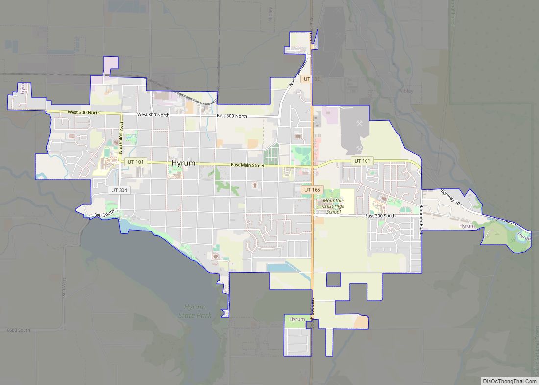
Hyrum is a city in Cache County, Utah. The population was 7,609 at the time of the 2010 census, with an estimated population of 8,403 in 2018. It is included in the Logan metropolitan area. Hyrum city overview: Name: Hyrum city LSAD Code: 25 LSAD Description: city (suffix) State: Utah County: Cache County Elevation: 4,698 ft ... Read more
Map of Hyrum city
Map of Hyde Park city, Utah
Hyde Park is a city in north-central Cache County, Utah, United States. The population was 3,833 at the 2010 census, with an estimated population of 4,700 in 2018. It is included in the Logan, Utah-Idaho Metropolitan Statistical Area. Hyde Park city overview: Name: Hyde Park city LSAD Code: 25 LSAD Description: city (suffix) State: Utah ... Read more
Map of Hyde Park city, Utah
Map of Hurricane city, Utah
Hurricane (/ˈhɜːrɪkən/ HUR-i-kən) is a city in Washington County, Utah, United States. Its population was 20,036 as of the 2020 United States Census estimates. The Hurricane valley makes up the easternmost part of the St. George Metropolitan area and is becoming a tourist gateway town to Zion National Park. Hurricane is known for its historic ... Read more
Map of Hurricane city, Utah
Map of Huntsville town, Utah
Huntsville (Shoshone: Anga-we-ya-dye) is a town in Weber County, Utah, United States. The population was 608 at the 2010 census. It is located in Ogden Valley. It is part of the Ogden–Clearfield, Utah Metropolitan Statistical Area, as well as the Ogden Valley census county division. Huntsville town overview: Name: Huntsville town LSAD Code: 43 LSAD ... Read more
Map of Huntsville town, Utah
Map of Howell town, Utah
Howell is a town located in the Blue Creek Valley in northeast Box Elder County, Utah, United States. The population was 245 at the 2010 census. Howell town overview: Name: Howell town LSAD Code: 43 LSAD Description: town (suffix) State: Utah County: Box Elder County Incorporated: 1941 Elevation: 4,561 ft (1,390 m) Total Area: 35.47 sq mi (91.87 km²) Land ... Read more
Map of Howell town, Utah
Map of Ivins city
Ivins (/ˈaɪvɪnz/ EYE-vinz) is a city in southwestern Washington County, Utah, United States. It is a part of the St. George Metropolitan Area as a suburb or “bedroom” community. The population was 8,978 at the 2020 census, up from 6,753 at the 2010 census. Although Ivins was listed as a town in the 2000 census, ... Read more
Map of Ivins city
Map of Kanosh town
Kanosh (/kəˈnɒʃ/ kə-NOSH) is a town in Millard County, Utah, United States. The population was 474 at the 2010 census. Kanosh town overview: Name: Kanosh town LSAD Code: 43 LSAD Description: town (suffix) State: Utah County: Millard County Incorporated: 1901 Elevation: 5,020 ft (1,530 m) Total Area: 0.77 sq mi (2.00 km²) Land Area: 0.77 sq mi (2.00 km²) Water Area: 0.00 sq mi (0.00 km²) ... Read more
Map of Kanosh town
Map of Layton city, Utah
Layton (Shoshone: Dew-ki-oh-go) is a city in Davis County, Utah, United States. It is part of the Ogden-Clearfield Metropolitan Statistical Area. As of the 2020 census, the city had a population of 81,773, with 2022 estimates showing a slight increase to 84,665. Layton is the most populous city in Davis County and the ninth most ... Read more
Map of Layton city, Utah
Map of Levan town
Levan (/ləˈvæn/ lə-VAN) is a town in Juab County, Utah, United States. As of the 2020 census it had a population of 862. It is often said that the name of the town derives from its location near the center of Utah, because the name is “navel” spelled backwards. Several other origins have been suggested ... Read more
Map of Levan town
Map of Leamington town
Leamington is a town in Millard County, Utah. The population was 217 at the time of the 2000 census. Leamington town overview: Name: Leamington town LSAD Code: 43 LSAD Description: town (suffix) State: Utah County: Millard County Incorporated: 1936 Elevation: 4,731 ft (1,442 m) Total Area: 1.53 sq mi (3.97 km²) Land Area: 1.53 sq mi (3.97 km²) Water Area: 0.00 sq mi (0.00 km²) Total ... Read more
Map of Leamington town