Layton (Shoshone: Dew-ki-oh-go) is a city in Davis County, Utah, United States. It is part of the Ogden-Clearfield Metropolitan Statistical Area. As of the 2020 census, the city had a population of 81,773, with 2022 estimates showing a slight increase to 84,665. Layton is the most populous city in Davis County and the ninth most populous in Utah.
Layton has direct access to Salt Lake City, Ogden, Salt Lake City International Airport, Antelope Island, and the FrontRunner commuter rail. Layton City is a leader in economic development for the region, with immediate adjacency to Hill Air Force Base, a large hospitality district (1,000+ hotel beds) and conference center, the Layton Hills Mall, multiple nationally recognized retail and food chains, the East Gate Business Park, and the Weber State University-Davis campus.
In 2014, Layton contributed $1.34 billion worth of retail sales activity, the second largest market north of Salt Lake City and seventh largest in Utah.
| Name: | Layton city |
|---|---|
| LSAD Code: | 25 |
| LSAD Description: | city (suffix) |
| State: | Utah |
| County: | Davis County |
| Incorporated: | May 24, 1920 |
| Elevation: | 4,356 ft (1,328 m) |
| Total Area: | 22.65 sq mi (58.67 km²) |
| Land Area: | 22.50 sq mi (58.27 km²) |
| Water Area: | 0.16 sq mi (0.40 km²) |
| Total Population: | 84,665 (2,022 est) |
| Population Density: | 3,634.36/sq mi (1,403.35/km²) |
| ZIP code: | 84040, 84041 |
| Area code: | 385, 801 |
| FIPS code: | 4943660 |
| GNISfeature ID: | 2411639 |
| Website: | laytoncity.org |
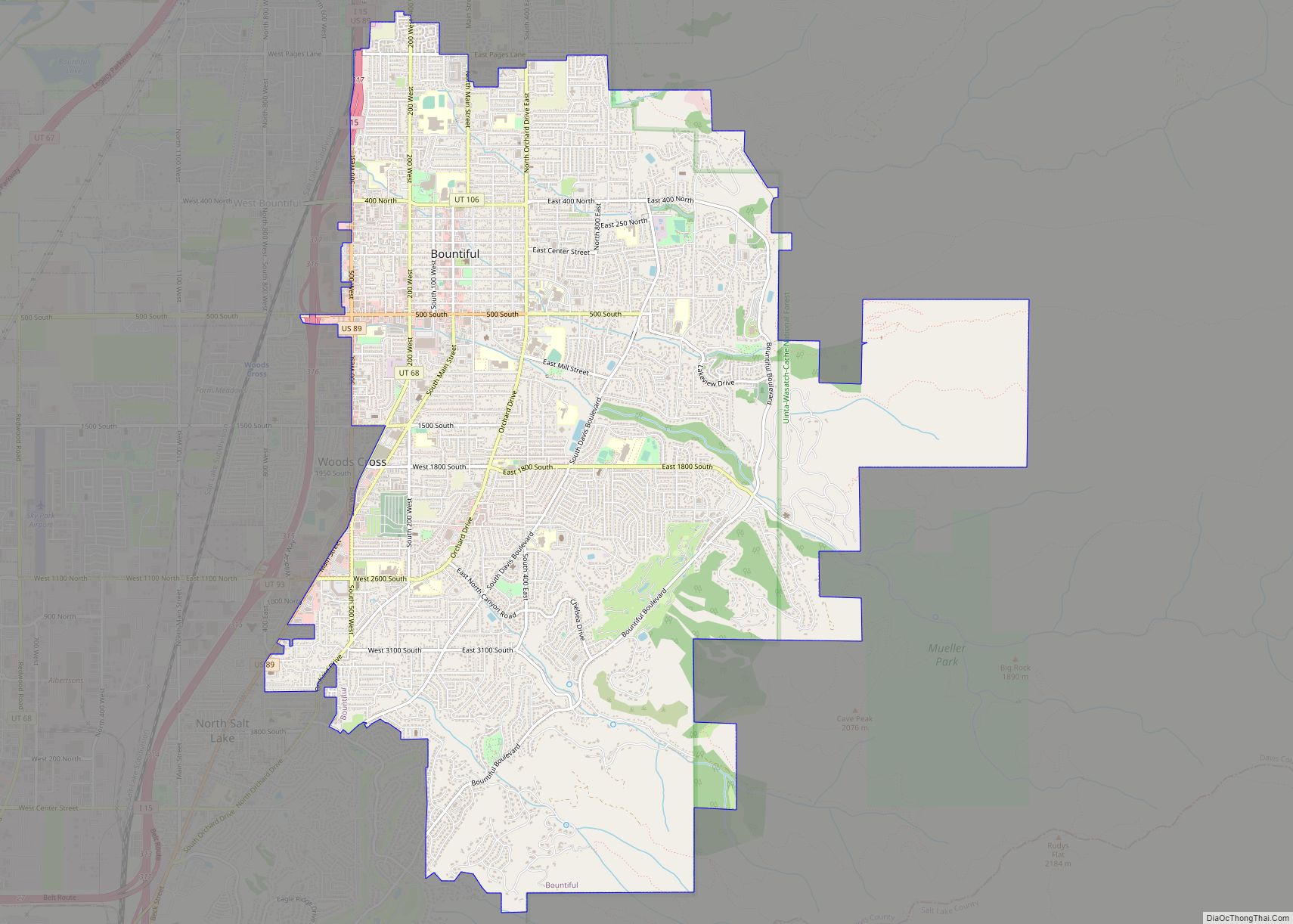
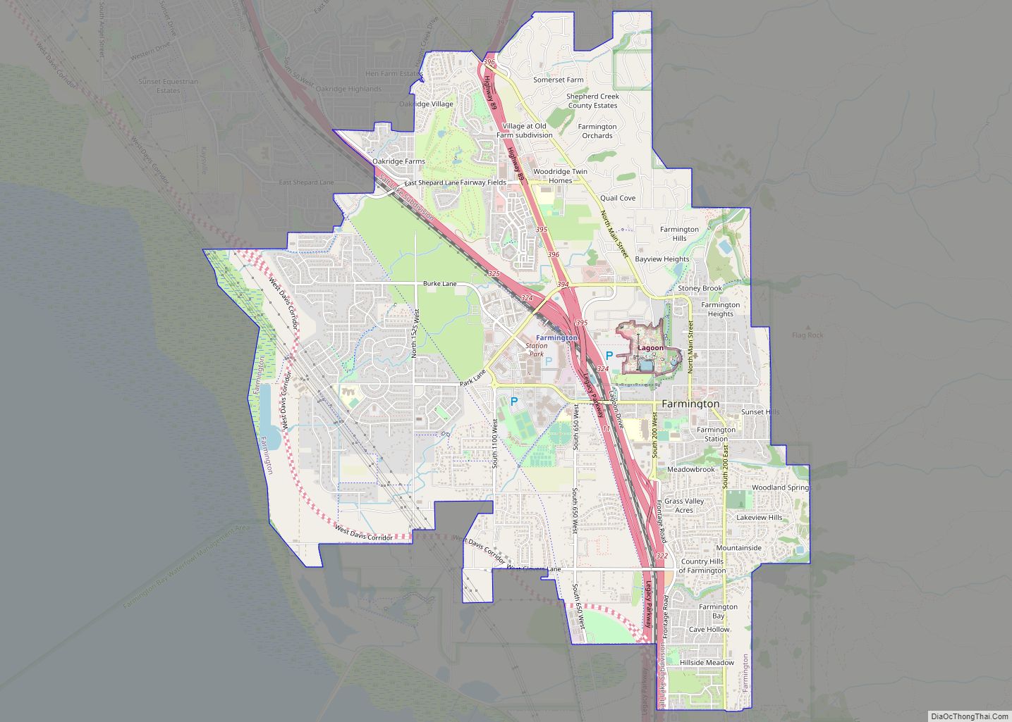
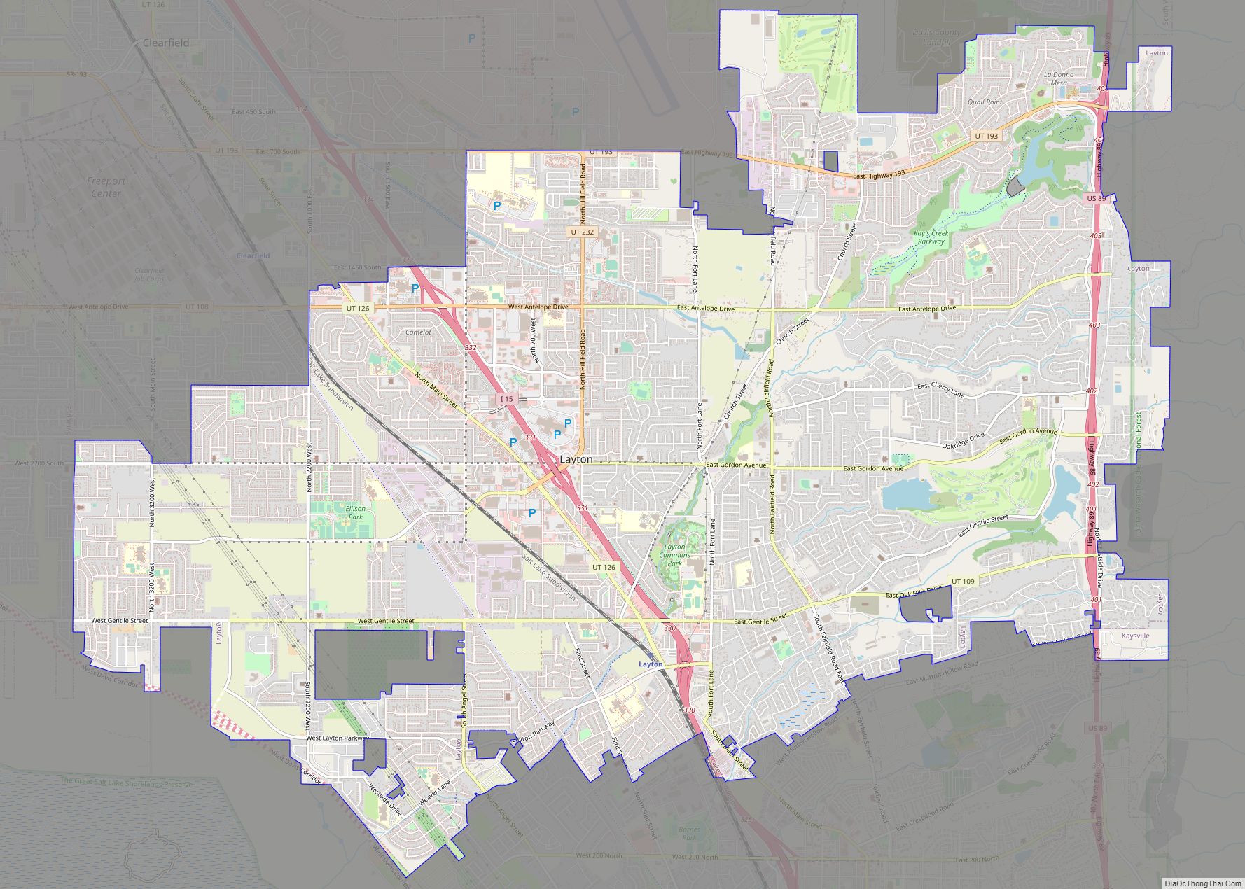
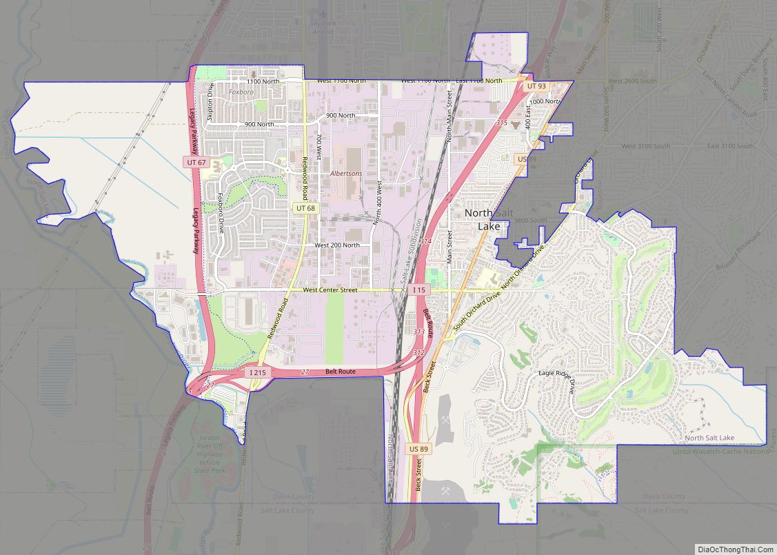
Online Interactive Map
Click on ![]() to view map in "full screen" mode.
to view map in "full screen" mode.
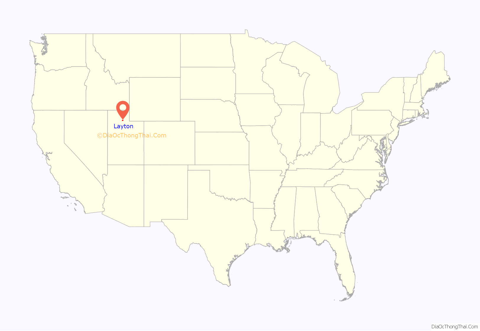
Layton location map. Where is Layton city?
History
Founding
Layton was settled in the 1850s as an outgrowth of Kaysville and is named after Christopher Layton, a Latter-day Saint settler and leader. It was included in the boundaries when Kaysville was incorporated as a city in 1868, but by the 1880s, many Layton residents wanted to separate from the city. They challenged Kaysville’s authority to tax their property, claiming they received no municipal services. This dispute reached the United States Supreme Court in 1894 as the case of Linford v. Ellison, which was decided in favor of the Layton property owners. The separatist movement finally succeeded in 1902, when Layton became an independent unincorporated area. After further growth, it was made an incorporated town in 1920.
Expansion
The town’s population increased slowly; up until 1940 it was about 600. The creation of Hill Air Force Base to the north in 1940, followed shortly by the United States’ entry into World War II, led to a dramatic population increase. War workers streamed into the area; the 1950 census counted 3,456 people. Layton became a city, transformed from a farming town to a residential community. Growth slowed after the war, but Layton continued to develop as a suburban bedroom community, as those not employed at the Air Force base began commuting to the Salt Lake City or Ogden areas. The city continued to expand geographically, annexing surrounding parcels of land, including the adjacent town of Laytona and city of East Layton. In 1985, Layton passed Bountiful to become the most populous city in Davis County.
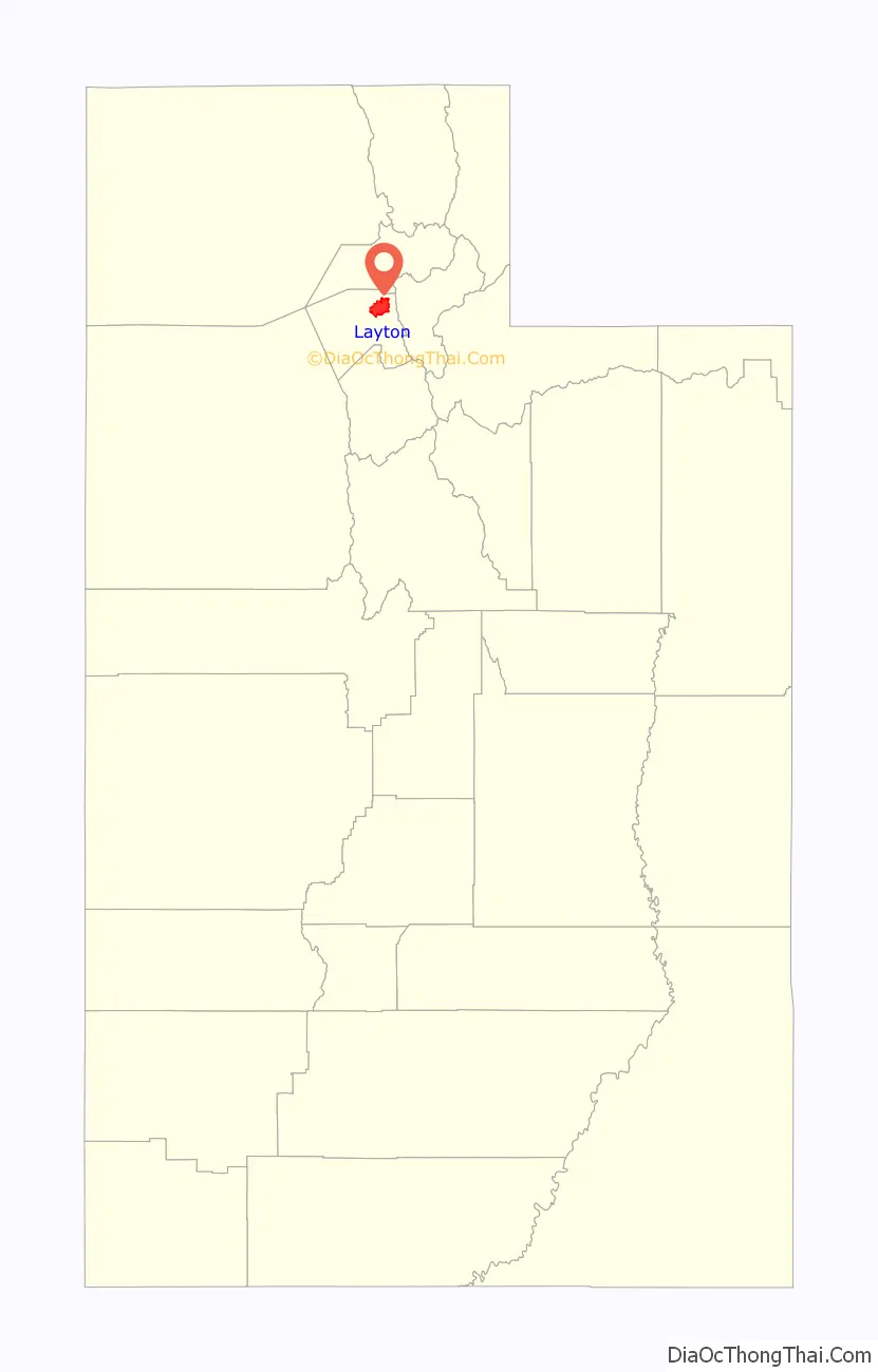
Layton Road Map
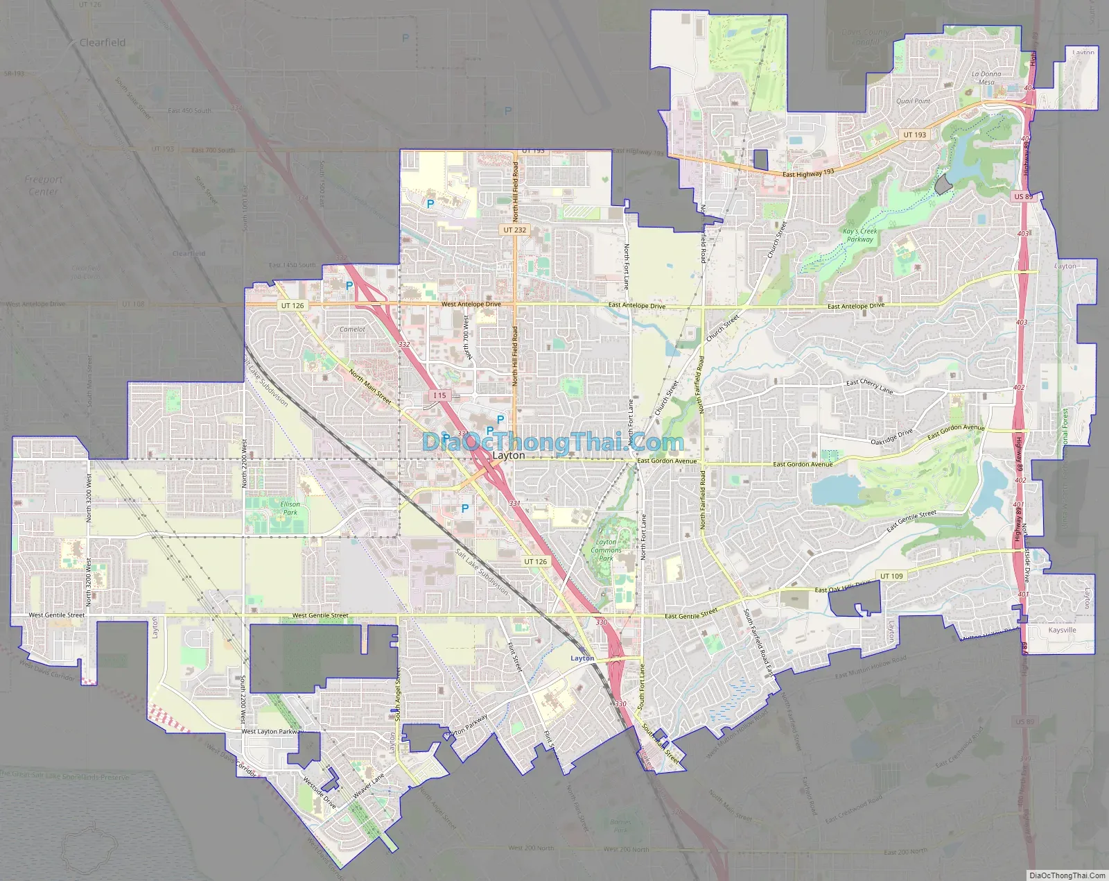
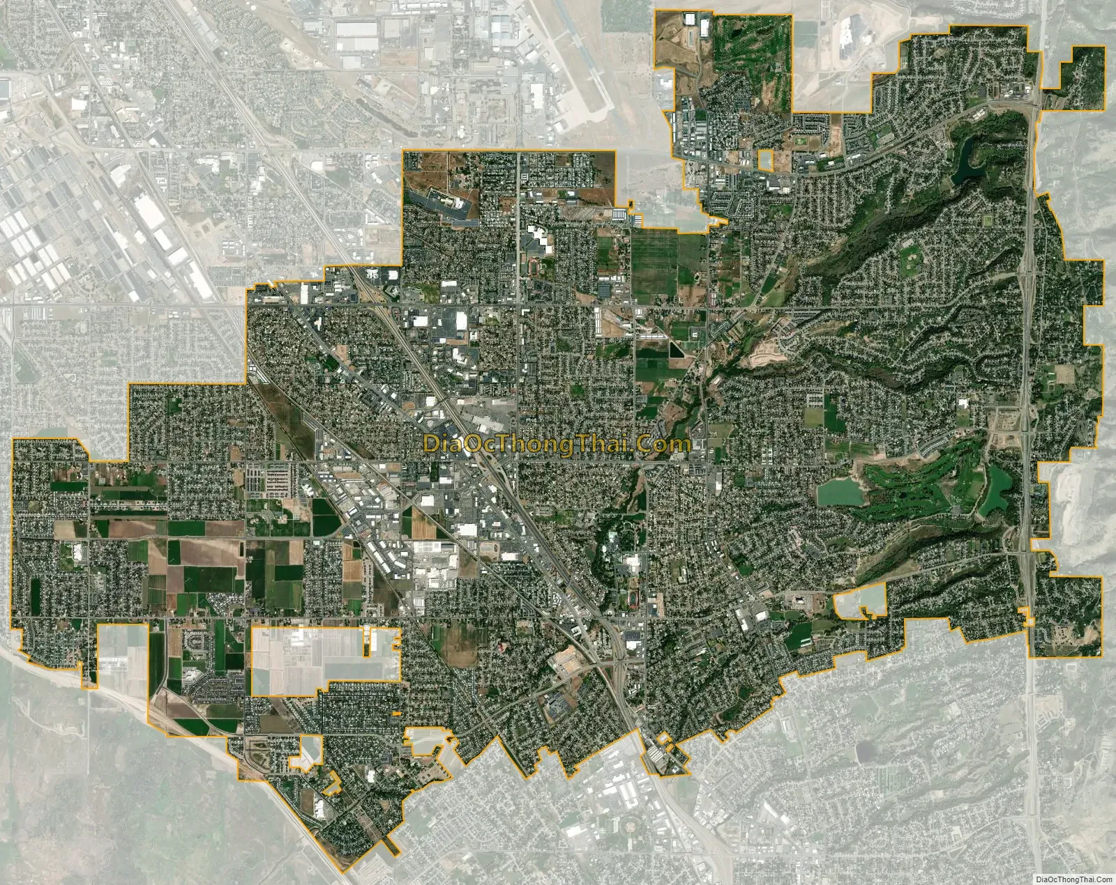
Layton city Satellite Map
Geography
Layton is located in the northern portion of the Wasatch Front, approximately 25 miles (40 km) north of Salt Lake City and 15 miles (24 km) south of Ogden. It is bordered by Clearfield to the northwest, Hill Air Force Base to the north, South Weber to the northeast, the Wasatch Mountains to the east, Kaysville to the south, Great Salt Lake wetlands to the southwest and Syracuse to the west.
According to the United States Census Bureau, Layton has a total area of 22.2 square miles (57.4 km), of which 22.0 square miles (57.0 km) is land and 0.15 square miles (0.4 km), or 0.78%, is water.
Climate
The climate in this area is characterized by hot summers and cold winters. Great Salt Lake effect snow is common in the winter.
See also
Map of Utah State and its subdivision: Map of other states:- Alabama
- Alaska
- Arizona
- Arkansas
- California
- Colorado
- Connecticut
- Delaware
- District of Columbia
- Florida
- Georgia
- Hawaii
- Idaho
- Illinois
- Indiana
- Iowa
- Kansas
- Kentucky
- Louisiana
- Maine
- Maryland
- Massachusetts
- Michigan
- Minnesota
- Mississippi
- Missouri
- Montana
- Nebraska
- Nevada
- New Hampshire
- New Jersey
- New Mexico
- New York
- North Carolina
- North Dakota
- Ohio
- Oklahoma
- Oregon
- Pennsylvania
- Rhode Island
- South Carolina
- South Dakota
- Tennessee
- Texas
- Utah
- Vermont
- Virginia
- Washington
- West Virginia
- Wisconsin
- Wyoming