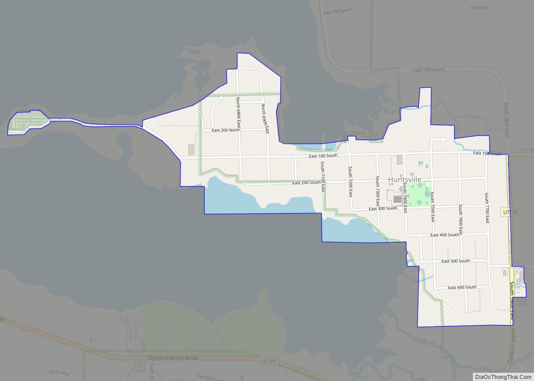
Huntsville (Shoshone: Anga-we-ya-dye) is a town in Weber County, Utah, United States. The population was 608 at the 2010 census. It is located in Ogden Valley. It is part of the Ogden–Clearfield, Utah Metropolitan Statistical Area, as well as the Ogden Valley census county division.
| Name: | Huntsville town |
|---|---|
| LSAD Code: | 43 |
| LSAD Description: | town (suffix) |
| State: | Utah |
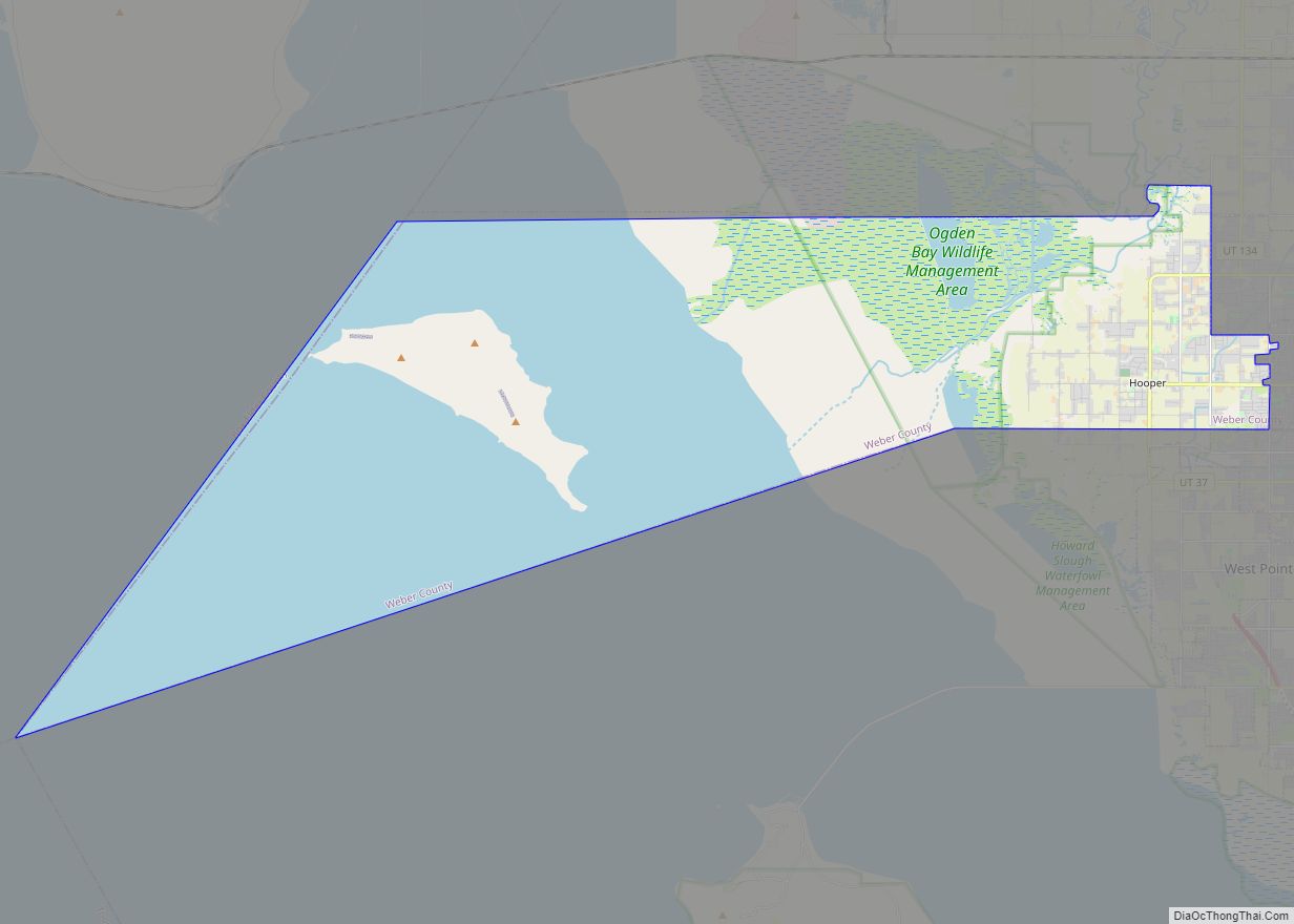
| County: | Weber County |
| Founded: | 1860 |
| Incorporated: | 1924 |
| Elevation: | 4,928 ft (1,502 m) |
| Total Area: | 0.89 sq mi (2.30 km²) |
| Land Area: | 0.83 sq mi (2.15 km²) |
| Water Area: | 0.06 sq mi (0.15 km²) |
| Total Population: | 608 |
| Population Density: | 774.43/sq mi (299.13/km²) |
| ZIP code: | 84317 |
| Area code: | 385, 801 |
| FIPS code: | 4937060 |
| GNISfeature ID: | 1428949 |
| Website: | www.huntsvilletown.com |
Online Interactive Map
Click on ![]() to view map in "full screen" mode.
to view map in "full screen" mode.
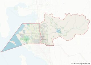
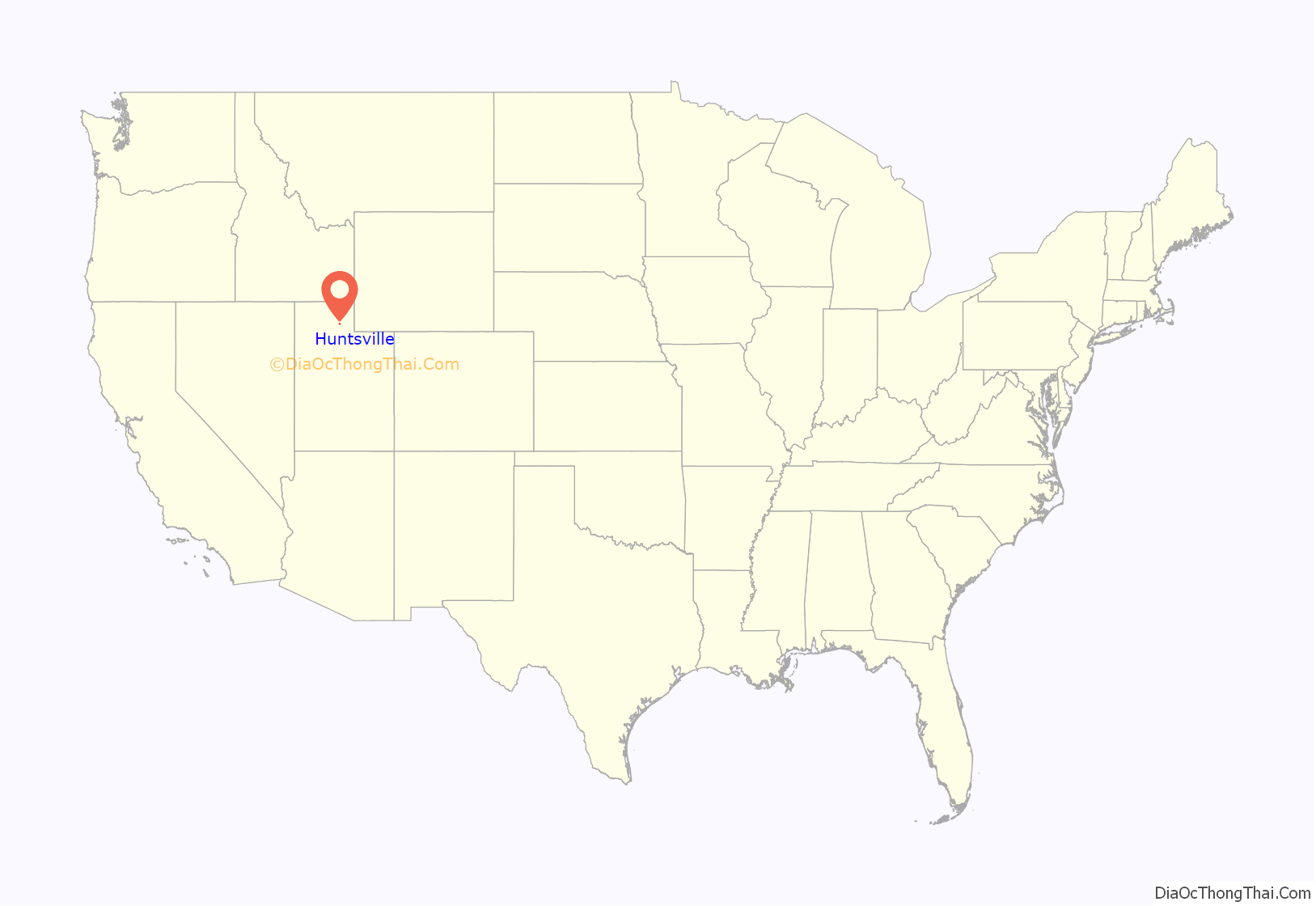
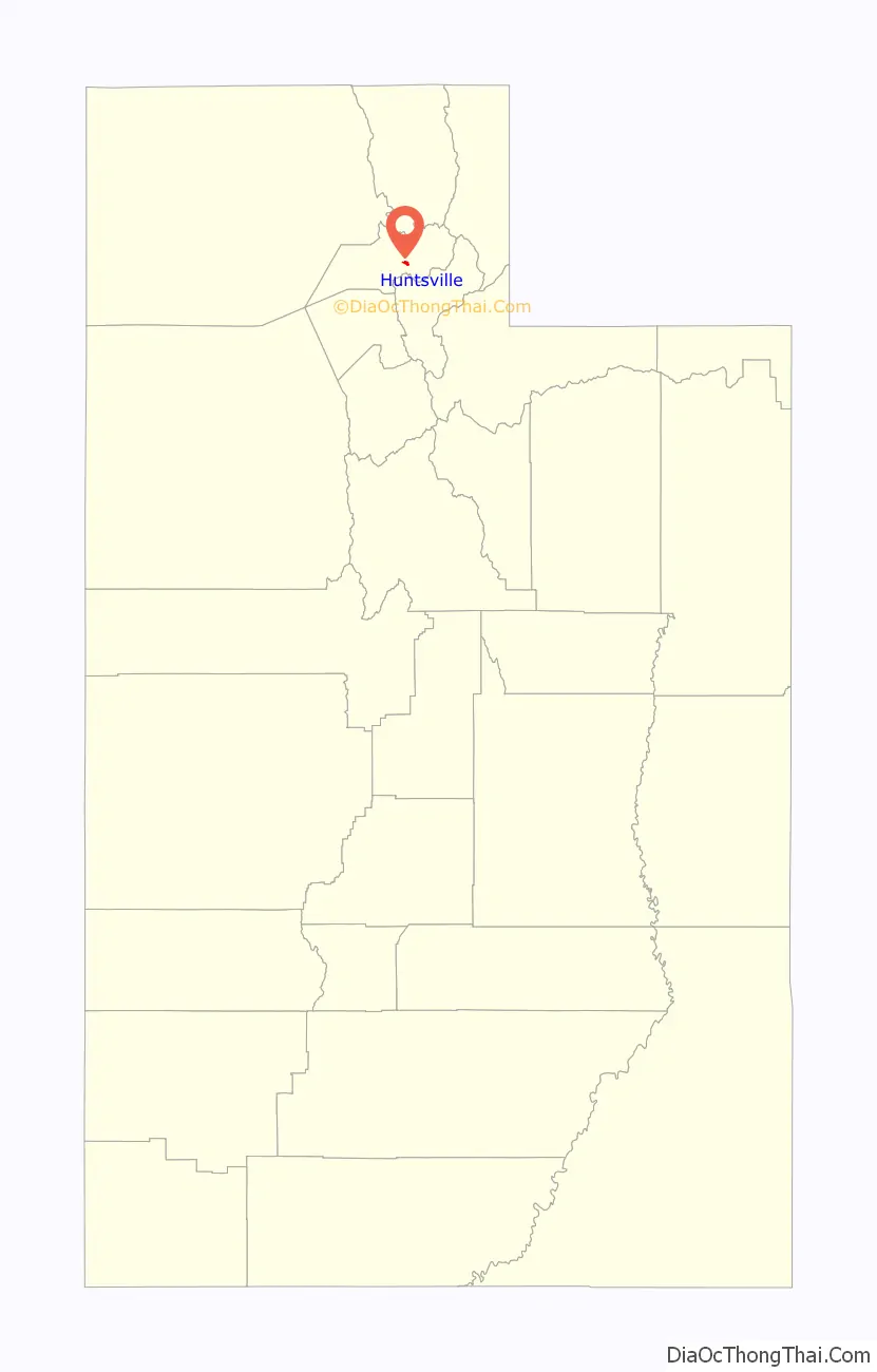
Huntsville location map. Where is Huntsville town?
History
The Western Shoshone were some of the first inhabitants of the area. They called the area Anga-we-ya-dye, meaning “Where the red berries grow”
Huntsville was founded in 1860 by Jefferson Hunt. An LDS ward was organized there in 1877 with Francis Hammond as Bishop, and he was succeeded in 1885 by David McKay. This David McKay was the father of David O. McKay, later president of the Church of Jesus Christ of Latter-day Saints. A Trappist monastery, the Abbey of Our Lady of the Holy Trinity, was established there in 1947, and closed after 70 years in 2017. The Shooting Star Saloon, the oldest continuously operating bar west of the Mississippi, is located in the town. It opened in 1879. It is known for the off-menu Star Burger: two patties with cheese, Polish knackwurst, and bacon.
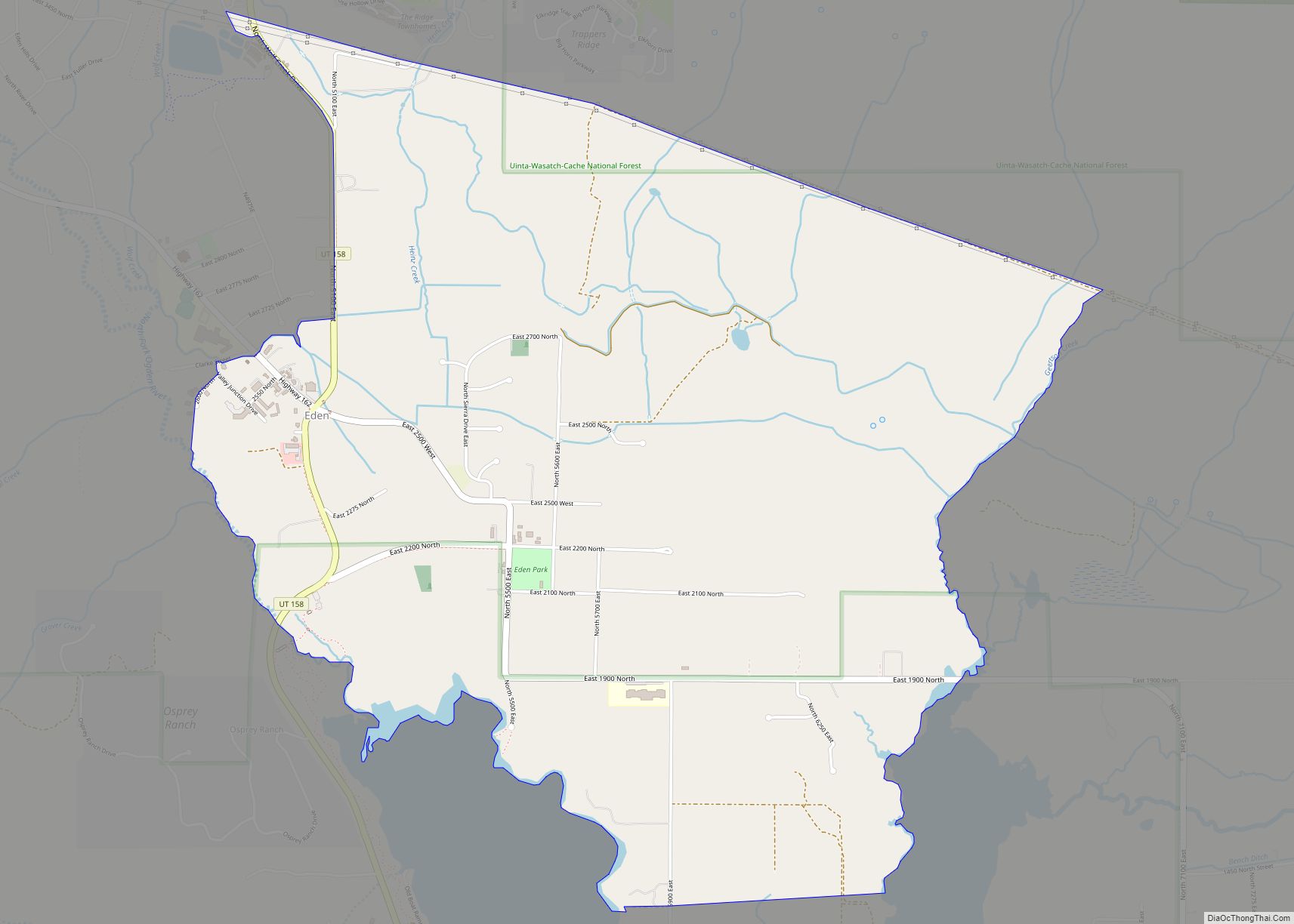
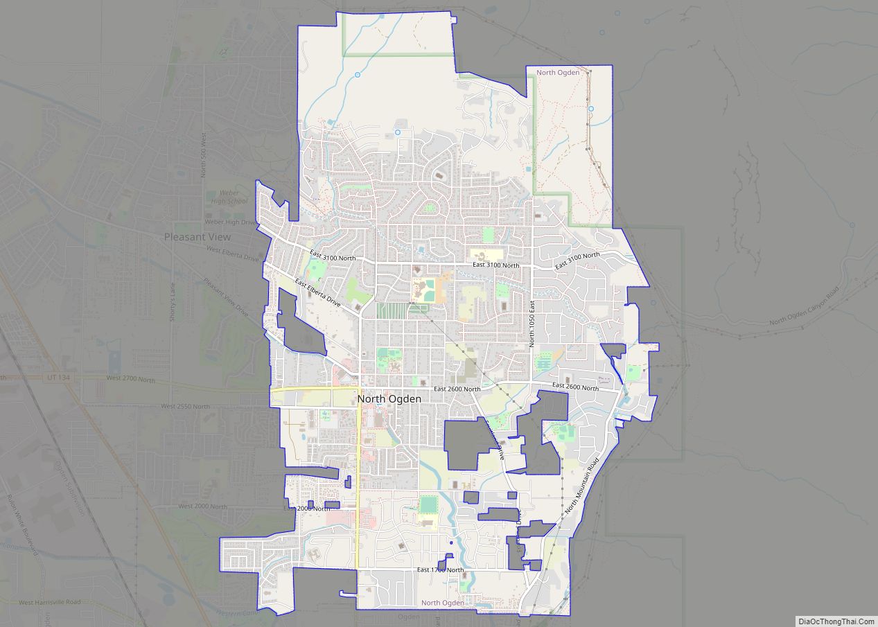
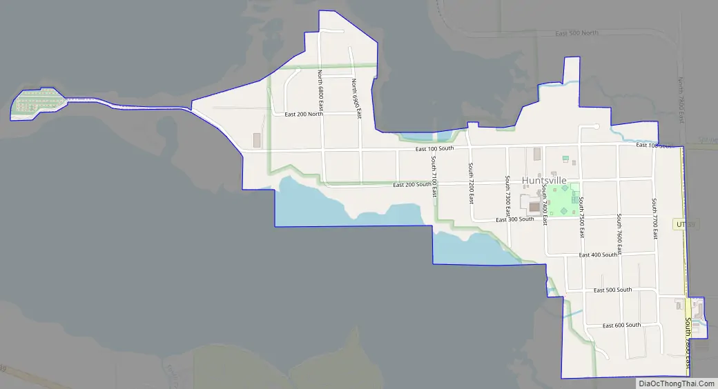
Huntsville Road Map
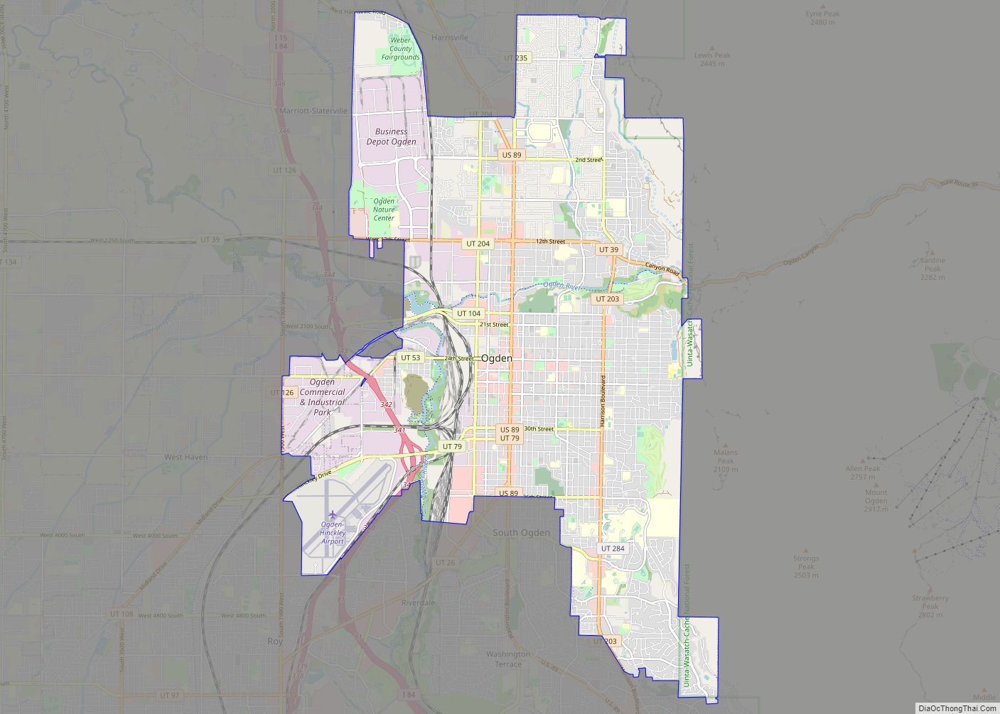
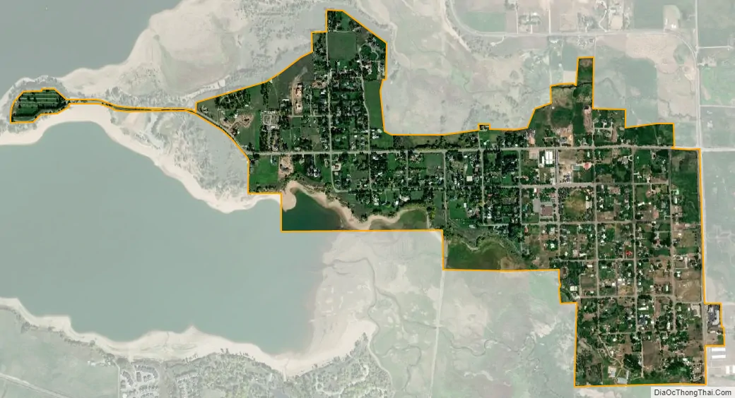
Huntsville city Satellite Map
Geography
According to the United States Census Bureau, the town has a total area of 0.7 square miles (1.9 km), of which 0.6 square mile (1.7 km) is land and 0.1 square mile (0.2 km) (9.46%) is water.
Climate
This climatic region is typified by large seasonal temperature differences, with warm to hot (and often humid) summers and cold (sometimes severely cold) winters. According to the Köppen Climate Classification system, Huntsville has a humid continental climate, abbreviated “Dfb” on climate maps.
See also
Map of Utah State and its subdivision: Map of other states:- Alabama
- Alaska
- Arizona
- Arkansas
- California
- Colorado
- Connecticut
- Delaware
- District of Columbia
- Florida
- Georgia
- Hawaii
- Idaho
- Illinois
- Indiana
- Iowa
- Kansas
- Kentucky
- Louisiana
- Maine
- Maryland
- Massachusetts
- Michigan
- Minnesota
- Mississippi
- Missouri
- Montana
- Nebraska
- Nevada
- New Hampshire
- New Jersey
- New Mexico
- New York
- North Carolina
- North Dakota
- Ohio
- Oklahoma
- Oregon
- Pennsylvania
- Rhode Island
- South Carolina
- South Dakota
- Tennessee
- Texas
- Utah
- Vermont
- Virginia
- Washington
- West Virginia
- Wisconsin
- Wyoming