Leamington is a town in Millard County, Utah. The population was 217 at the time of the 2000 census.
| Name: | Leamington town |
|---|---|
| LSAD Code: | 43 |
| LSAD Description: | town (suffix) |
| State: | Utah |
| County: | Millard County |
| Incorporated: | 1936 |
| Elevation: | 4,731 ft (1,442 m) |
| Total Area: | 1.53 sq mi (3.97 km²) |
| Land Area: | 1.53 sq mi (3.97 km²) |
| Water Area: | 0.00 sq mi (0.00 km²) |
| Total Population: | 226 |
| Population Density: | 155.90/sq mi (60.18/km²) |
| ZIP code: | 84638 |
| Area code: | 435 |
| FIPS code: | 4943880 |
| GNISfeature ID: | 1429508 |
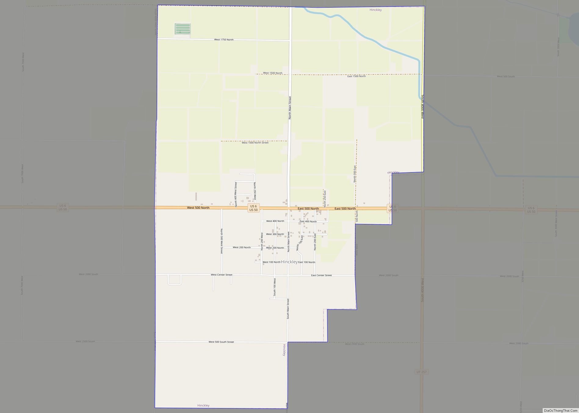
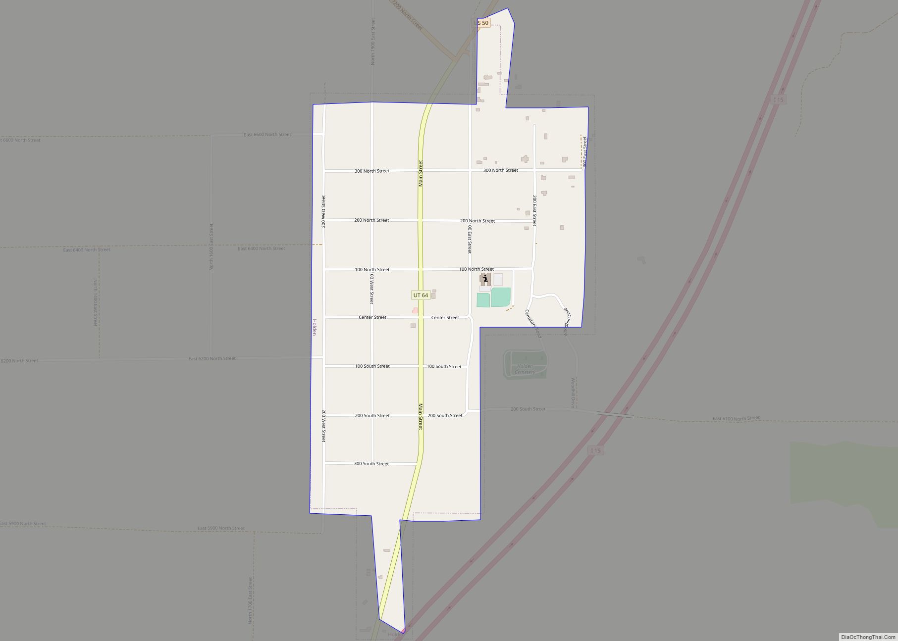
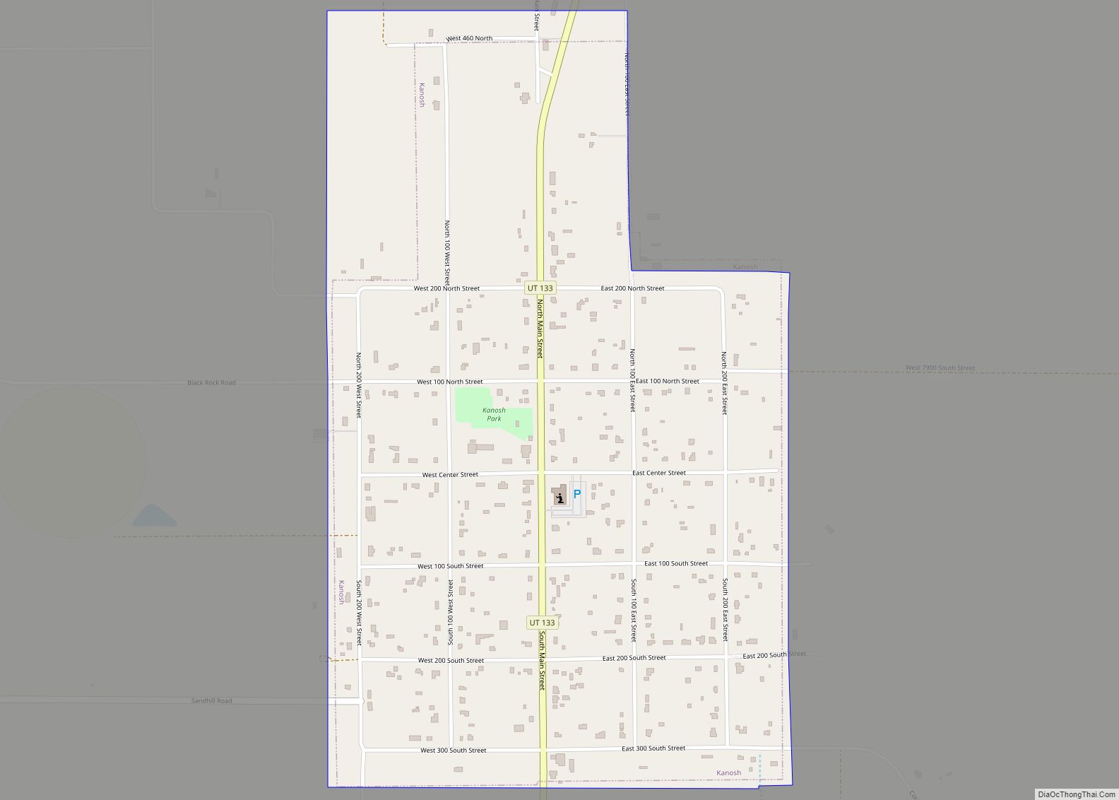
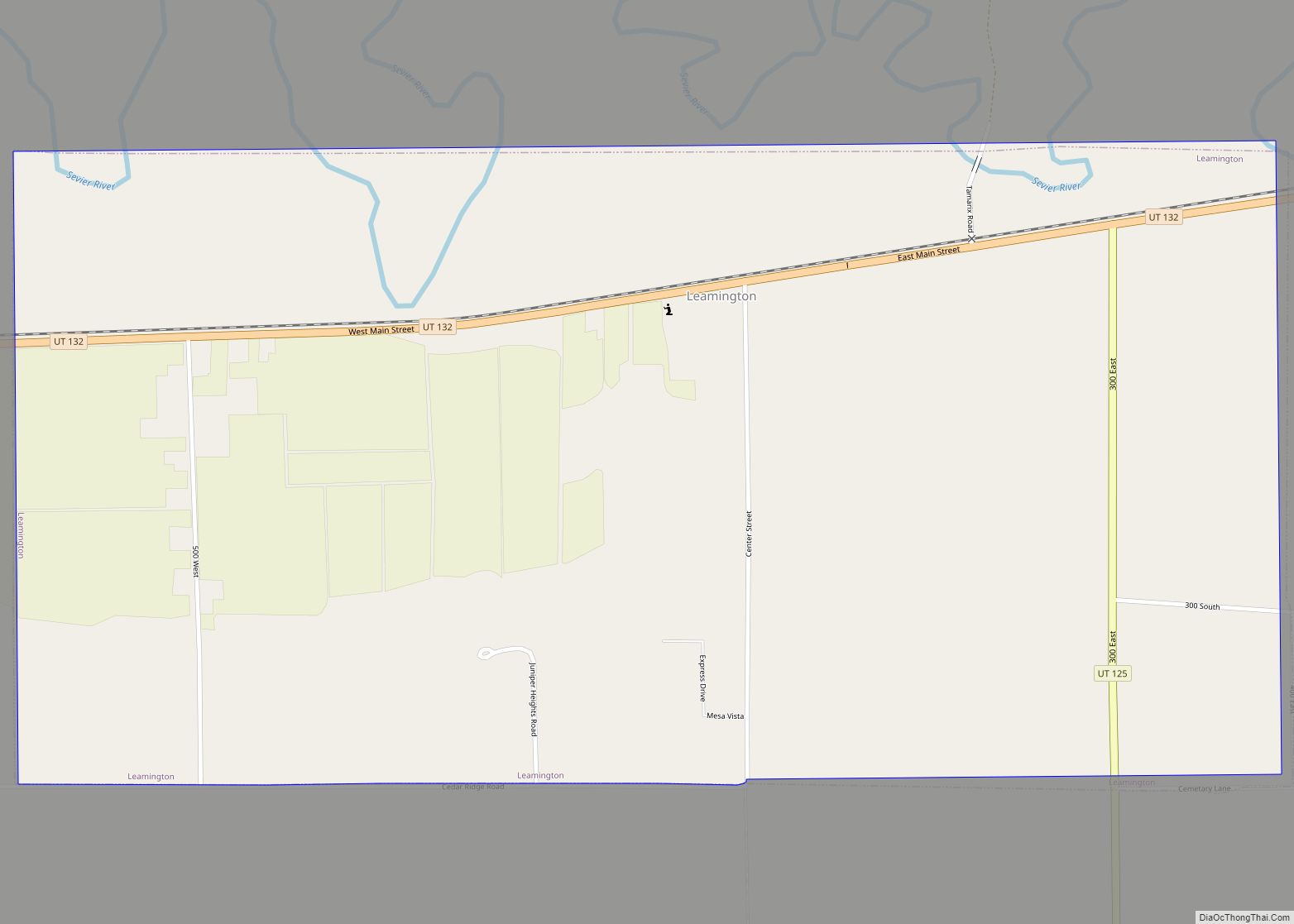
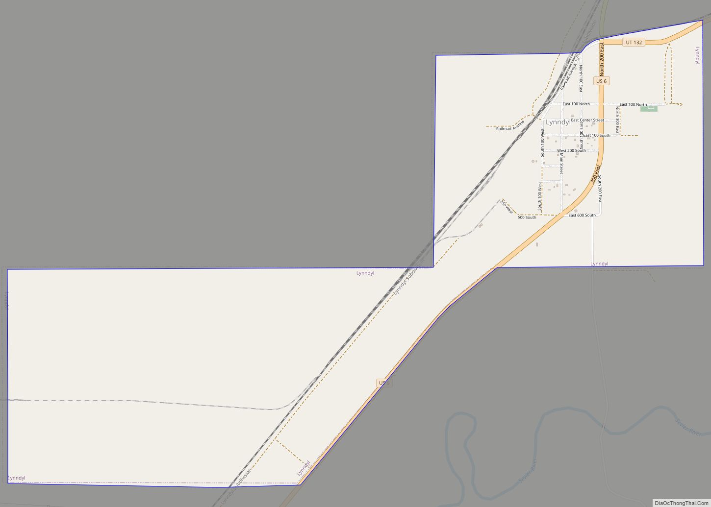
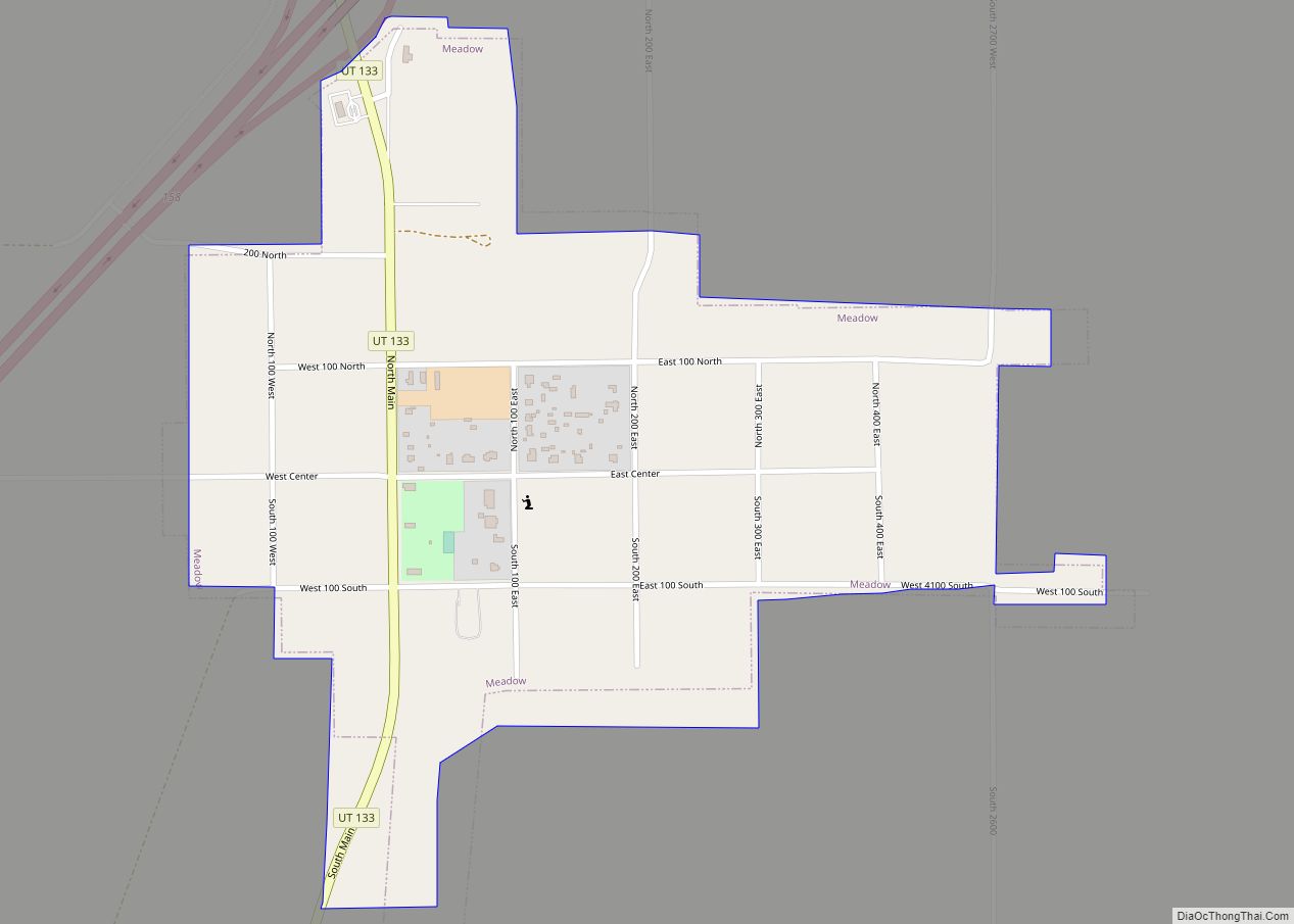
Online Interactive Map
Click on ![]() to view map in "full screen" mode.
to view map in "full screen" mode.
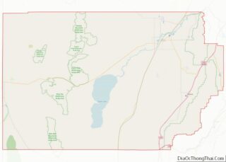
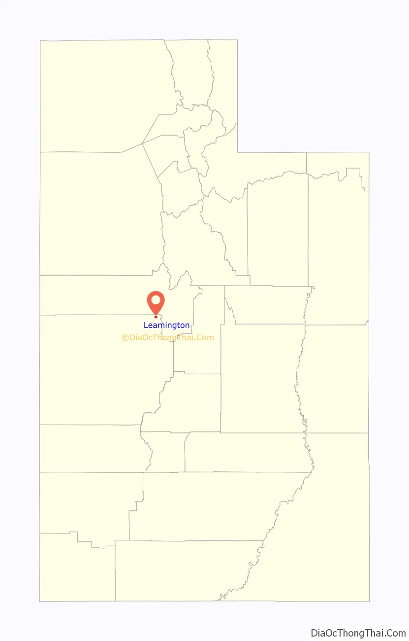
Leamington location map. Where is Leamington town?

History
In 1871 settlers of Oak City, Utah built a dam in what is now Leamington. The town itself was settled in 1873 by Thomas Morgan. He was the first branch president when the Leamington Branch of the LDS Church was organized in 1876. In 1880, a log meetinghouse was built and by this time the town had an LDS Ward with Mary Goble Pay as president of the Primary Organization. Bengt Textorius was hired to bring a spur of the railroad down from SLC through Leamington past Lynndyl Junction. His wife, Josephine, talked her sister Anna and her son, Abe, to move from Sweden. She brought with her Bertha Rorstrum. Hans Olaus Sorenson married both of these women and started rearing families. He followed Bengt to Leamington in 1883. Hans purchased a farm south east of town. He helped build the canal up on the ridge which helped water the valley. Rodney Ashby was bishop for many years and Bengt was one of his counselors. Hans found that sugar cane grew better than wheat so he produced molasses. He also got a cream separator and worked with the neighbors to take the cream and make butter. He took trips to the mining town Eureka up north to sell, butter, eggs, meat, and flour goods, plus fruit and vegetables in season. Life was not easy. He made an adobe mill for bricks to make small homes. They would go up into the canyons to gather firewood for home and for the cone kilns to make charcoal for the trains. In winter they would heat bricks on the pot belly stove and wrap burlap around for their beds. In winter, they would cut blocks of ice from the Sevier River and place them in small caves covered with straw to serve as refrigerators. In 1930 Leamington and its immediate vicinity had a population of 356.
On Highway 132 near the middle of Leamington sits a restored 1960s-style Phillips 66 gas station with period cars in front of and around the garage. There is also a growing collection of retired farm implements. In addition, there is a classic 1960s-era American Linen Supply Company delivery van parked inside the fence, directly east of the gas station.
Leamington Road Map

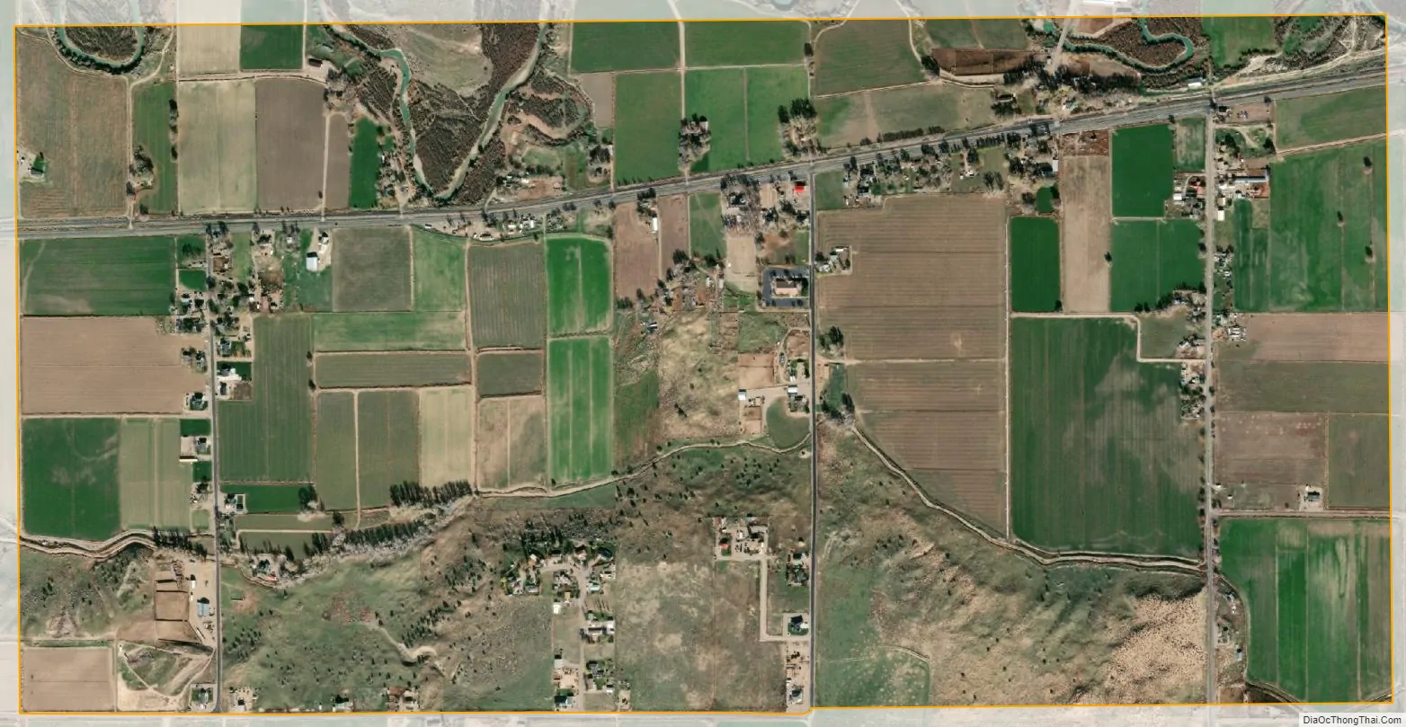
Leamington city Satellite Map
Geography
According to the United States Census Bureau, the town has a total area of 1.6 square miles (4.1 km), all land.
See also
Map of Utah State and its subdivision: Map of other states:- Alabama
- Alaska
- Arizona
- Arkansas
- California
- Colorado
- Connecticut
- Delaware
- District of Columbia
- Florida
- Georgia
- Hawaii
- Idaho
- Illinois
- Indiana
- Iowa
- Kansas
- Kentucky
- Louisiana
- Maine
- Maryland
- Massachusetts
- Michigan
- Minnesota
- Mississippi
- Missouri
- Montana
- Nebraska
- Nevada
- New Hampshire
- New Jersey
- New Mexico
- New York
- North Carolina
- North Dakota
- Ohio
- Oklahoma
- Oregon
- Pennsylvania
- Rhode Island
- South Carolina
- South Dakota
- Tennessee
- Texas
- Utah
- Vermont
- Virginia
- Washington
- West Virginia
- Wisconsin
- Wyoming