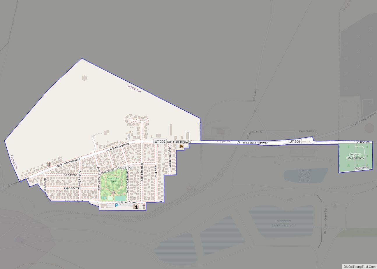
Copperton is a metro township in Salt Lake County, Utah, United States, located at the mouth of Bingham Canyon, approximately 17 miles (27 km) southwest of Salt Lake City. The metro township boundaries include a smaller area than that of both the former CDP (designated by the U.S. Census) and the former township. Much of the ... Read more
Utah Cities and Places
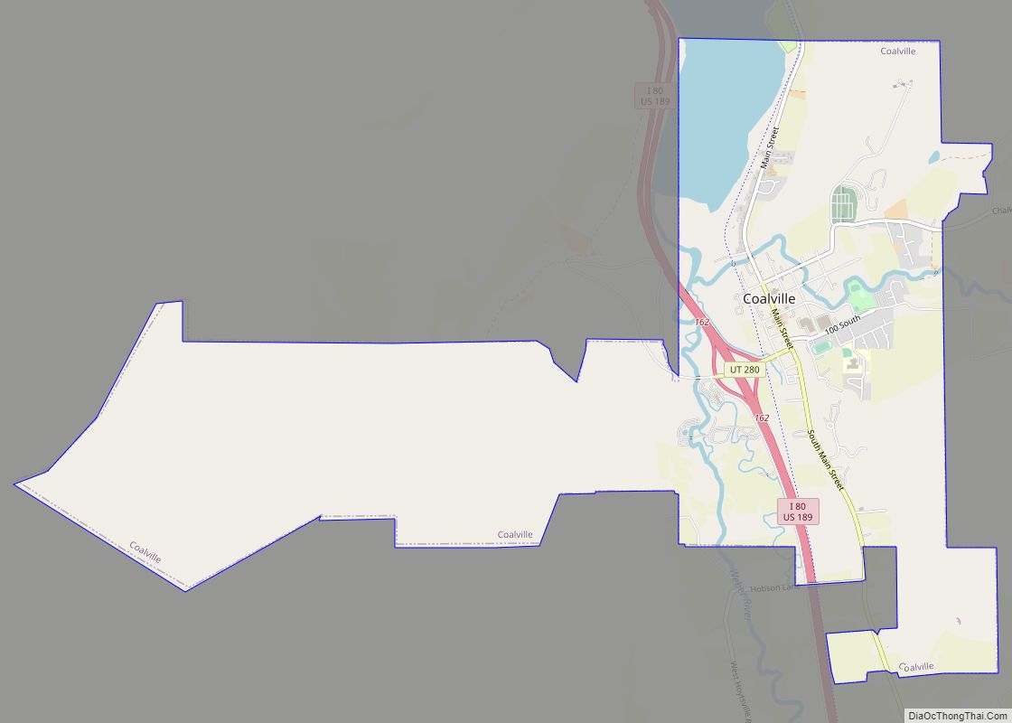
Coalville is a city in and the county seat of Summit County, Utah, United States. It is part of the Salt Lake City, Utah Metropolitan Statistical Area. The population was 1,363 as of the 2010 census. Interstate 80 passes through the town, as well as the Weber River, which flows into Echo Reservoir, just north ... Read more
Cleveland is a town in Emery County, Utah, United States. As of the 2010 census, the town population was 464, down from 508 at the 2000 census. Cleveland town overview: Name: Cleveland town LSAD Code: 43 LSAD Description: town (suffix) State: Utah County: Emery County Elevation: 5,722 ft (1,744 m) Total Area: 0.86 sq mi (2.24 km²) Land Area: 0.86 sq mi ... Read more
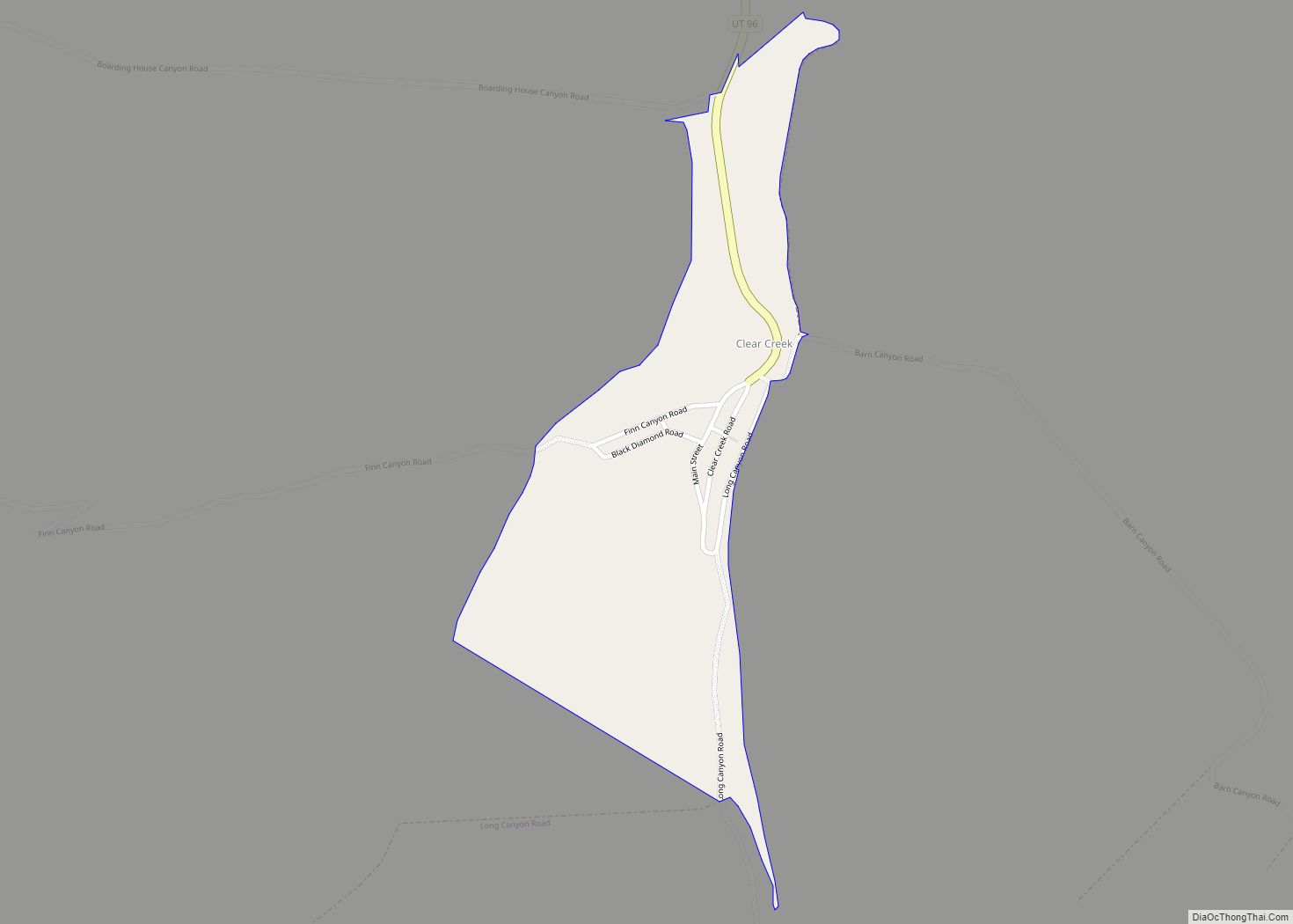
Clear Creek is a census-designated place on the western edge of Carbon County, Utah, United States. It is located at the south end of State Route 96 and the Pleasant Valley Branch of the Union Pacific Railroad (previously the Denver and Rio Grande Western Railroad). Clear Creek CDP overview: Name: Clear Creek CDP LSAD Code: ... Read more
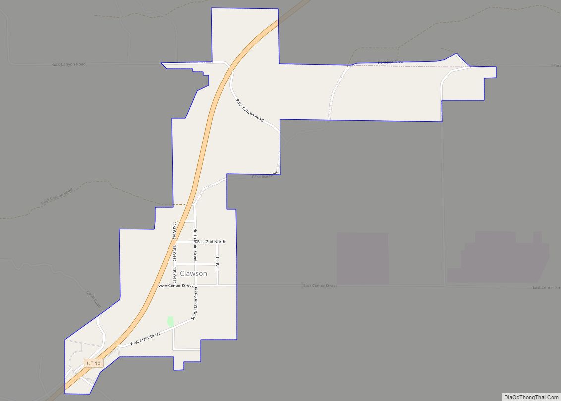
Clawson is a town in Emery County, Utah, United States. The population was 163 at the 2020 census. The community was named after Rudger Clawson, a Mormon leader. Clawson town overview: Name: Clawson town LSAD Code: 43 LSAD Description: town (suffix) State: Utah County: Emery County Incorporated: 1981 Elevation: 5,942 ft (1,811 m) Total Area: 1.01 sq mi (2.62 km²) ... Read more
Delta is the largest city in Millard County, Utah, United States. It is located in the northeastern area of Millard County along the Sevier River and is surrounded by farmland. The population was 3,436 at the 2010 census. Delta city overview: Name: Delta city LSAD Code: 25 LSAD Description: city (suffix) State: Utah County: Millard ... Read more
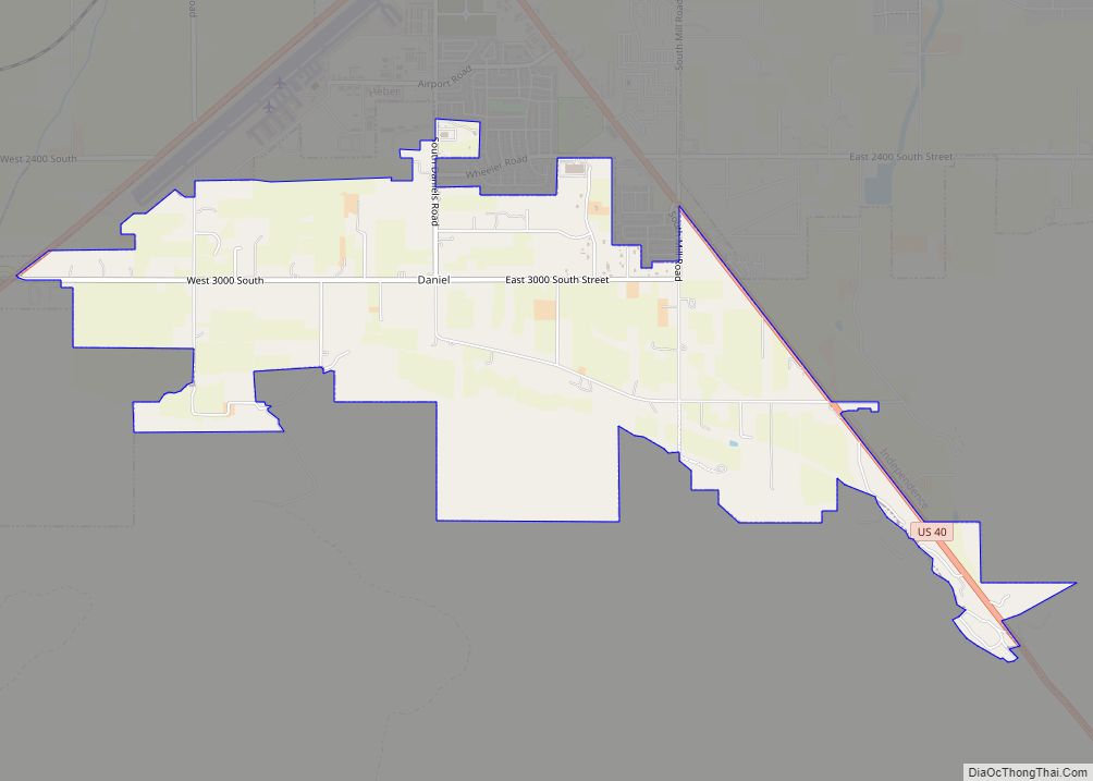
Daniel is a town in Wasatch County, Utah, United States. The population was 938 at the 2010 census, at which time it was a township and census-designated place (CDP). Daniel incorporated as a town in February 2006. Daniel was first settled in 1874. Daniel town overview: Name: Daniel town LSAD Code: 43 LSAD Description: town ... Read more
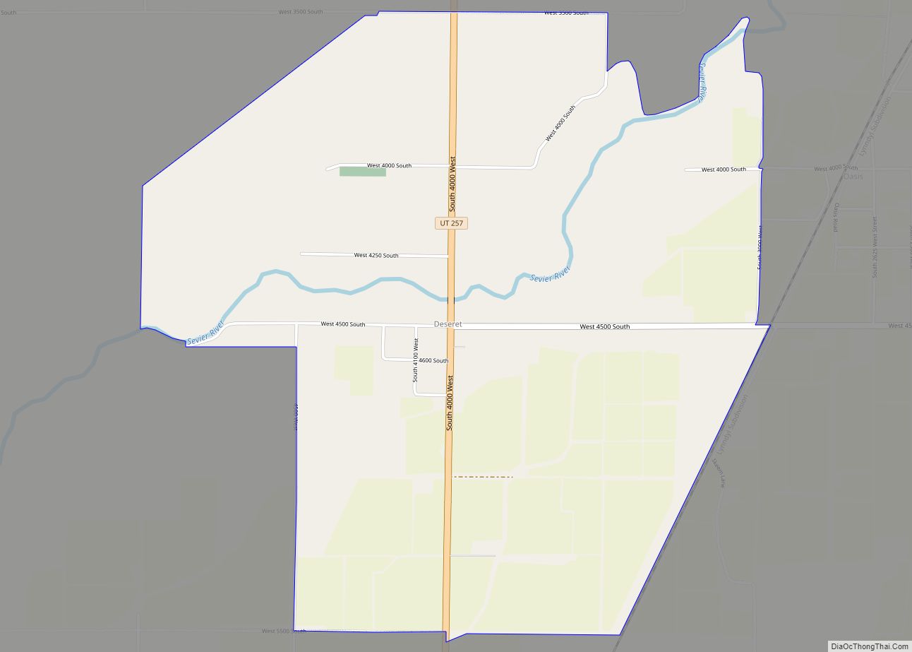
Deseret (/ˌdɛzəˈrɛt/ (listen)) is a census-designated place in Millard County, Utah, United States. The population was 353 at the 2010 census. Deseret is located approximately 10 miles (16 km) southwest of Delta, and about 150 miles (240 km) southwest of Salt Lake City. The name Deseret comes from the Book of Mormon. Deseret CDP overview: Name: Deseret ... Read more
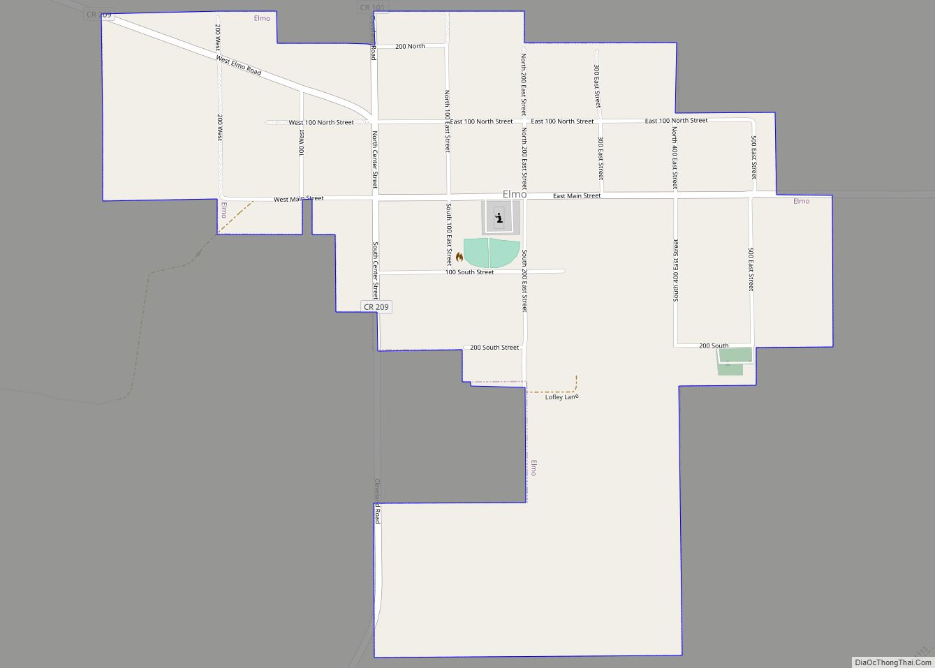
Elmo is a town in Emery County, Utah, United States. The population was 418 at the 2010 census, up from 368 in 2000. Elmo town overview: Name: Elmo town LSAD Code: 43 LSAD Description: town (suffix) State: Utah County: Emery County Incorporated: 1935 Elevation: 5,692 ft (1,735 m) Total Area: 0.70 sq mi (1.83 km²) Land Area: 0.70 sq mi (1.83 km²) Water ... Read more
Elberta is a census-designated place (CDP) in Utah County, Utah, United States. It is part of the Provo–Orem Metropolitan Statistical Area. The population was 256 at the 2010 census. It was founded as Mt. Nebo. After the water failed in 1901, most of the early settlers moved away. It was purchased by Matthew B. Whitney, ... Read more
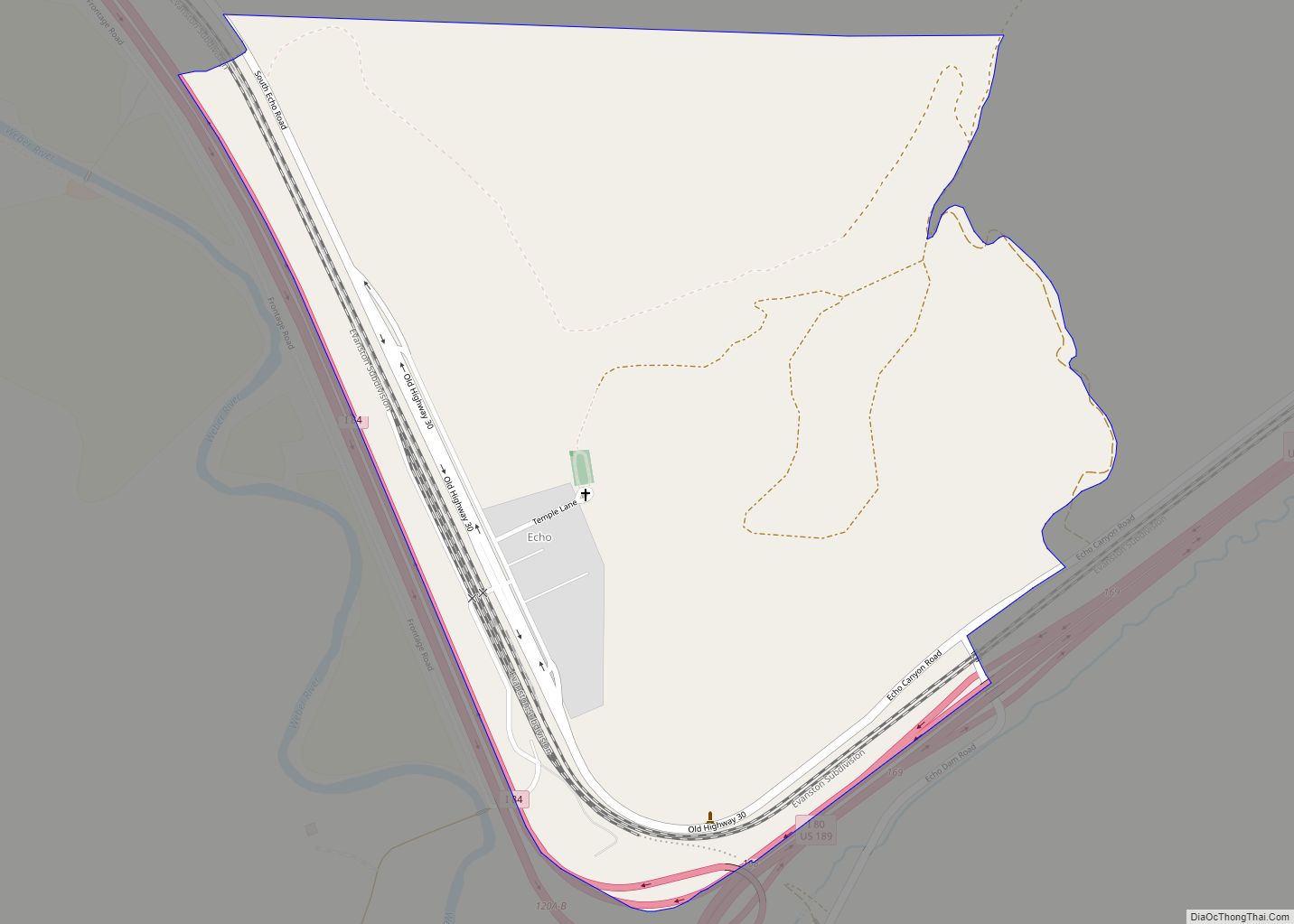
Echo is a census-designated place located in northwestern Summit County, Utah, United States. The population was 56 at the 2010 census. Echo was founded in 1854. The community took its name from nearby Echo Canyon. Echo CDP overview: Name: Echo CDP LSAD Code: 57 LSAD Description: CDP (suffix) State: Utah County: Summit County Elevation: 5,777 ft ... Read more
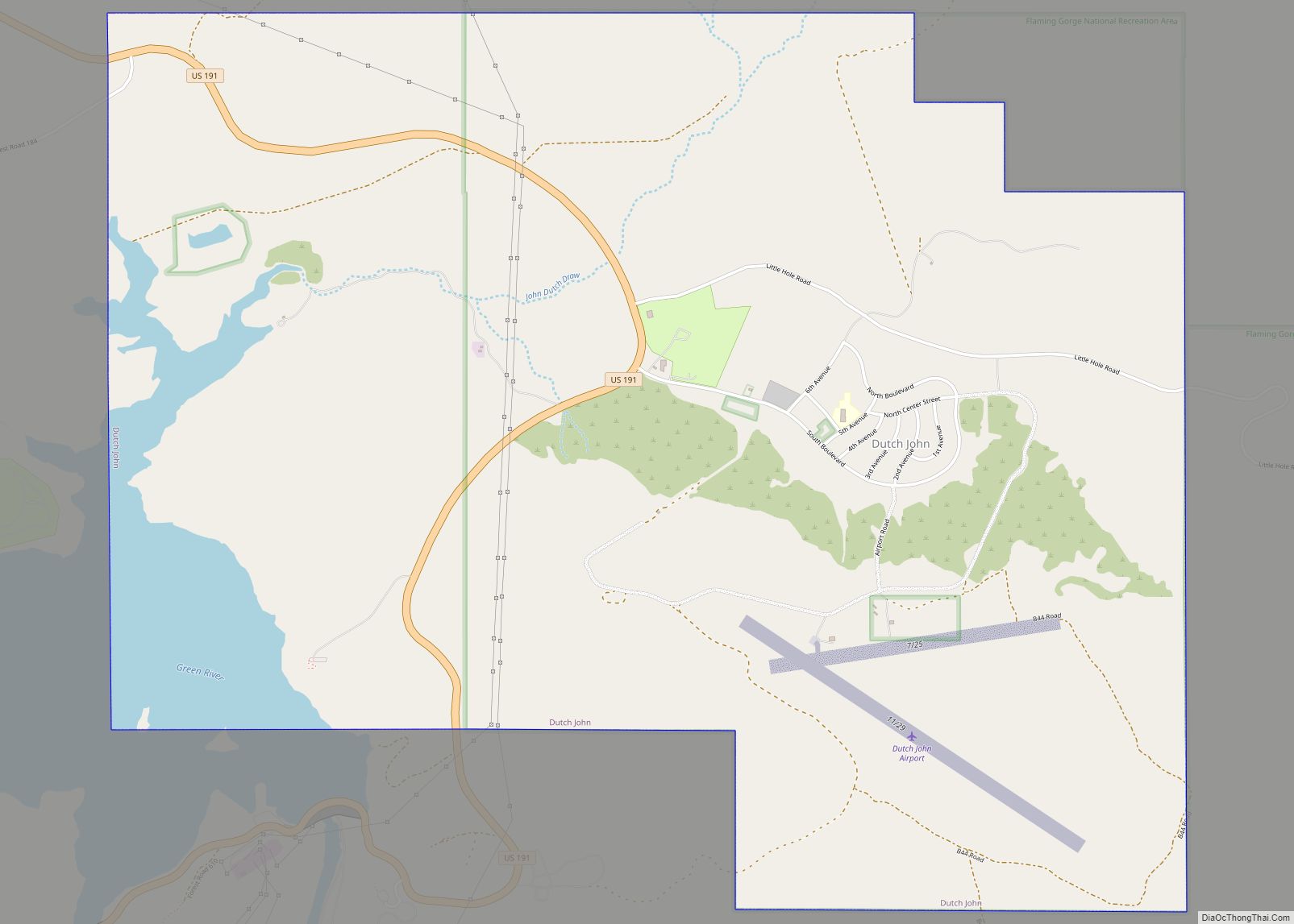
Dutch John is a town located in eastern Daggett County, Utah, United States, approximately 4 miles (6 km) northeast of the Flaming Gorge Dam on U.S. Route 191. The population was 145 at the 2010 census. Dutch John town overview: Name: Dutch John town LSAD Code: 43 LSAD Description: town (suffix) State: Utah County: Daggett County ... Read more
