Cleveland is a town in Emery County, Utah, United States. As of the 2010 census, the town population was 464, down from 508 at the 2000 census.
| Name: | Cleveland town |
|---|---|
| LSAD Code: | 43 |
| LSAD Description: | town (suffix) |
| State: | Utah |
| County: | Emery County |
| Elevation: | 5,722 ft (1,744 m) |
| Total Area: | 0.86 sq mi (2.24 km²) |
| Land Area: | 0.86 sq mi (2.24 km²) |
| Water Area: | 0.00 sq mi (0.00 km²) |
| Total Population: | 464 |
| Population Density: | 508.67/sq mi (196.39/km²) |
| ZIP code: | 84518 |
| Area code: | 435 |
| FIPS code: | 4914070 |
| GNISfeature ID: | 1426712 |
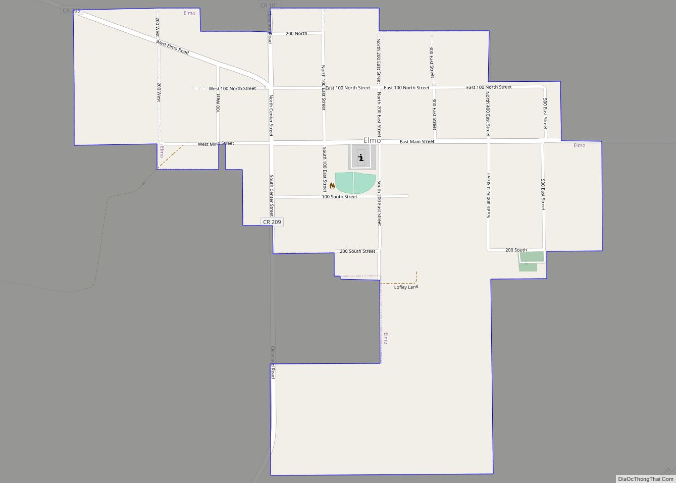
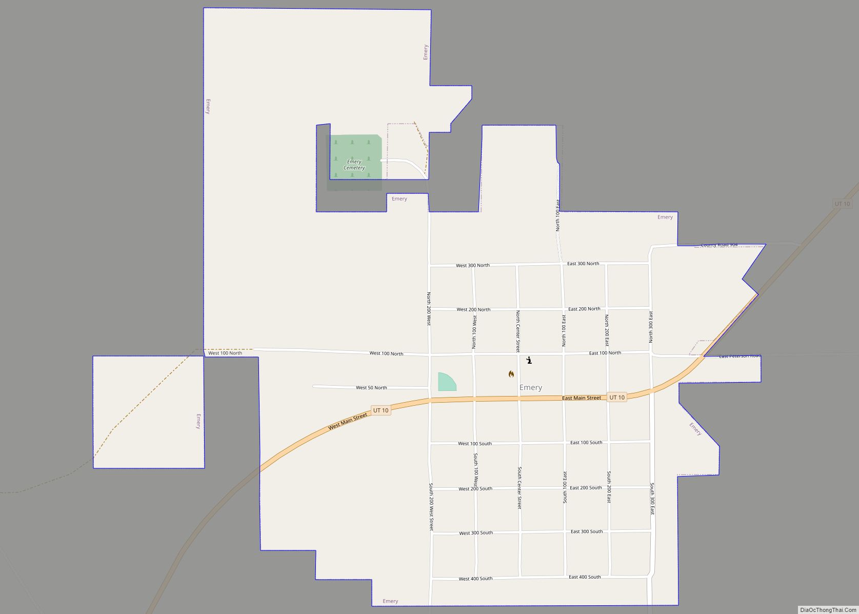
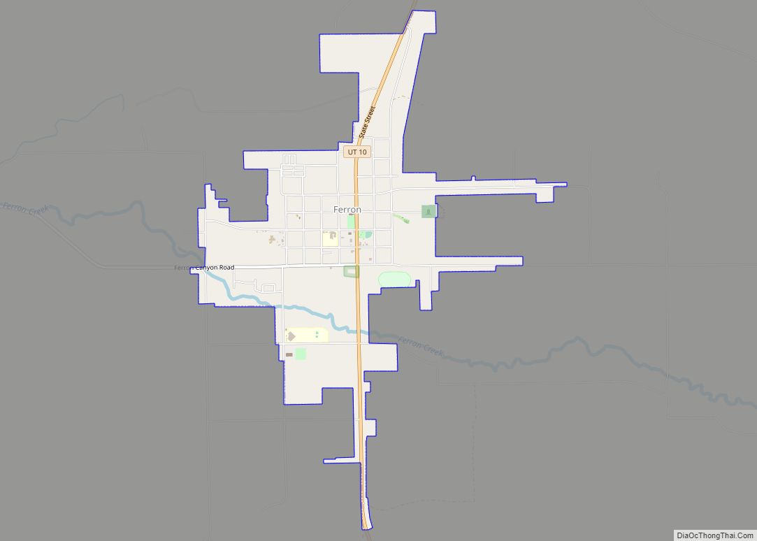
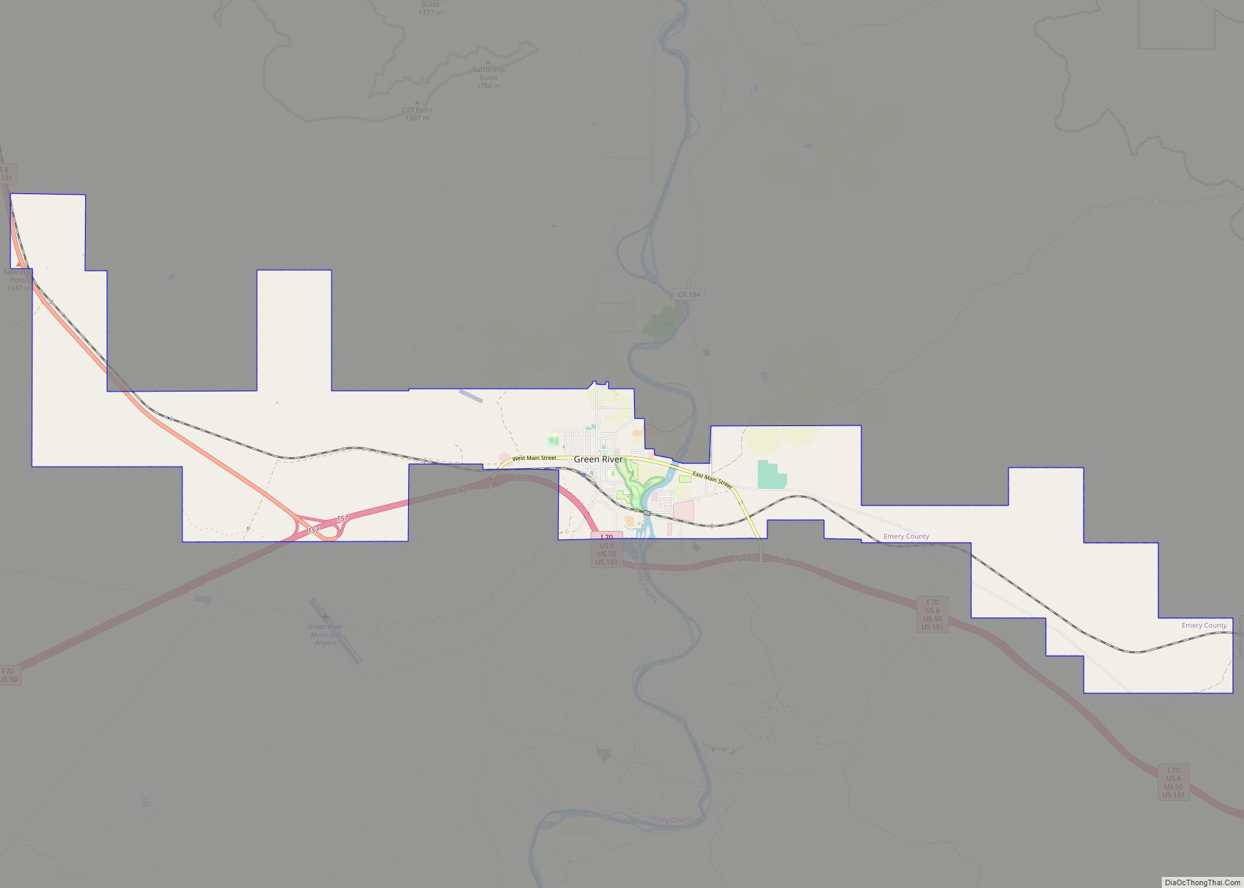
Online Interactive Map
Click on ![]() to view map in "full screen" mode.
to view map in "full screen" mode.
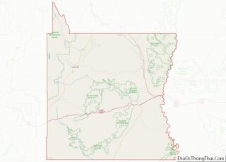
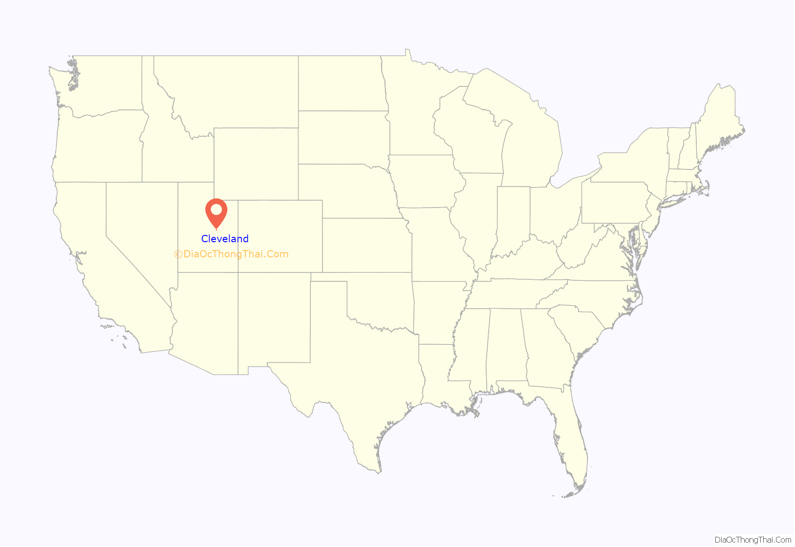
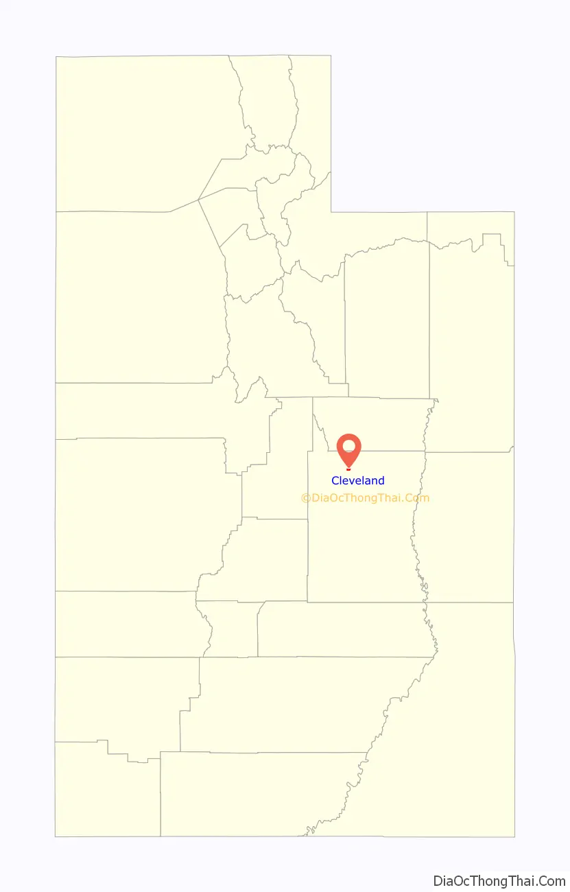
Cleveland location map. Where is Cleveland town?
History
Cleveland was first settled in 1884 by Samuel Nelson Alger and Henry Sr. These two men took up homesteading, and soon afterward, 25 families joined them. Firm roots began to take hold, and gradually with hard work and persistence, Cleveland began to grow. These families were typically pioneers. Cleveland was named after Grover Cleveland, President of the United States in the 1880s.
The “old timers” claim that farms within the boundaries of Cleveland require less water than other farms in Emery County and have the most productive ground. Many founding fathers came to Cleveland because of good reports of plentiful grass and good homesteading. The reason that Cleveland was not settled sooner was the lack of a sufficient water source and supply.
In 1890, a log school with plank benches was outgrown by 1893 when a frame building was built. Later a two-story section was added. The adobe brick school was built in 1912. Harry B. Mortensen and C. Leslie Bennett were instrumental in getting sports, music, and speech programs started for school students. A new school was built in 1976 and remodeled in 1989.
Cleveland’s people loved social activities, and they had quite a few socials and parties. The departure of missionaries and servicemen was an exceptionally good reason for a get-together. In April 1910, Ernest E. Davis built a large opera house. Many dances and weddings were held there also. In April 1923, a silent movie picture machine was installed with a player piano for music. In 1928, a talking movie projector was installed. A roller skating rink was added in 1937. These buildings do not exist there today.
It had a population of 294 in 1930.
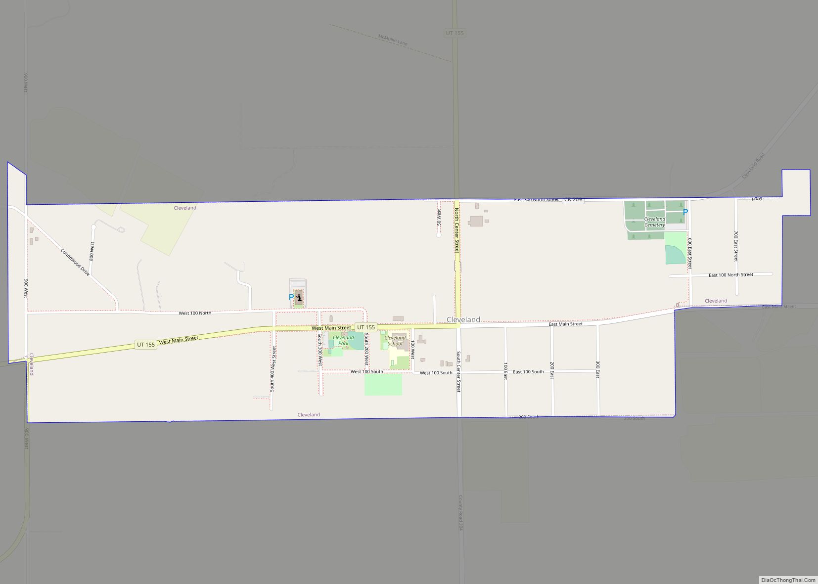
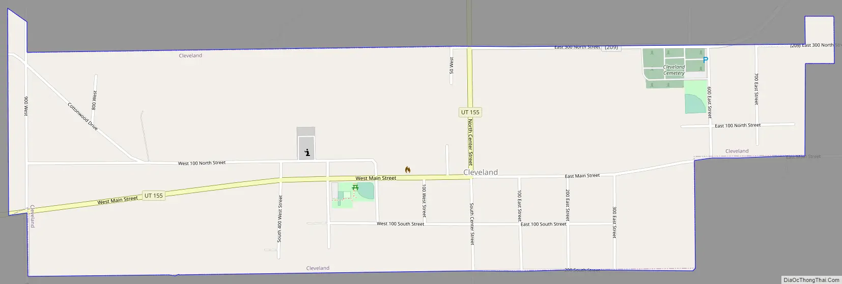
Cleveland Road Map
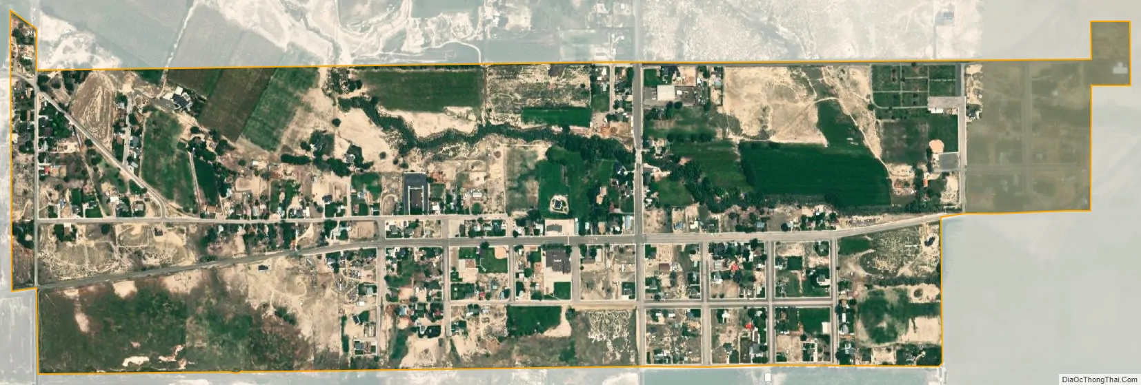
Cleveland city Satellite Map
Geography
Cleveland is located in northwestern Emery County in a swale of land between the mountains and the desert. It is 7 miles (11 km) east of Huntington, 18 miles (29 km) south of Price, and 16 miles (26 km) northeast of Castle Dale, the Emery County seat. According to the United States Census Bureau, Cleveland has a total area of 0.85 square miles (2.2 km), all land.
See also
Map of Utah State and its subdivision: Map of other states:- Alabama
- Alaska
- Arizona
- Arkansas
- California
- Colorado
- Connecticut
- Delaware
- District of Columbia
- Florida
- Georgia
- Hawaii
- Idaho
- Illinois
- Indiana
- Iowa
- Kansas
- Kentucky
- Louisiana
- Maine
- Maryland
- Massachusetts
- Michigan
- Minnesota
- Mississippi
- Missouri
- Montana
- Nebraska
- Nevada
- New Hampshire
- New Jersey
- New Mexico
- New York
- North Carolina
- North Dakota
- Ohio
- Oklahoma
- Oregon
- Pennsylvania
- Rhode Island
- South Carolina
- South Dakota
- Tennessee
- Texas
- Utah
- Vermont
- Virginia
- Washington
- West Virginia
- Wisconsin
- Wyoming