Delta is the largest city in Millard County, Utah, United States. It is located in the northeastern area of Millard County along the Sevier River and is surrounded by farmland. The population was 3,436 at the 2010 census.
| Name: | Delta city |
|---|---|
| LSAD Code: | 25 |
| LSAD Description: | city (suffix) |
| State: | Utah |
| County: | Millard County |
| Elevation: | 4,639 ft (1,414 m) |
| Total Area: | 8.72 sq mi (22.59 km²) |
| Land Area: | 8.60 sq mi (22.28 km²) |
| Water Area: | 0.12 sq mi (0.31 km²) |
| Total Population: | 3,622 |
| Population Density: | 418.69/sq mi (161.67/km²) |
| ZIP code: | 84624 |
| Area code: | 435 |
| FIPS code: | 4918910 |
| GNISfeature ID: | 1427334 |
| Website: | http://www.delta.utah.gov/ |
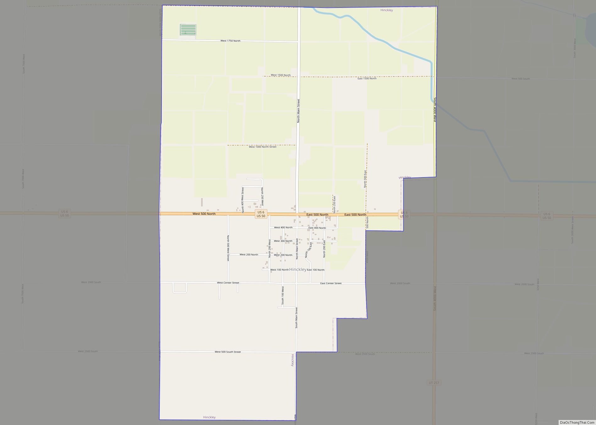
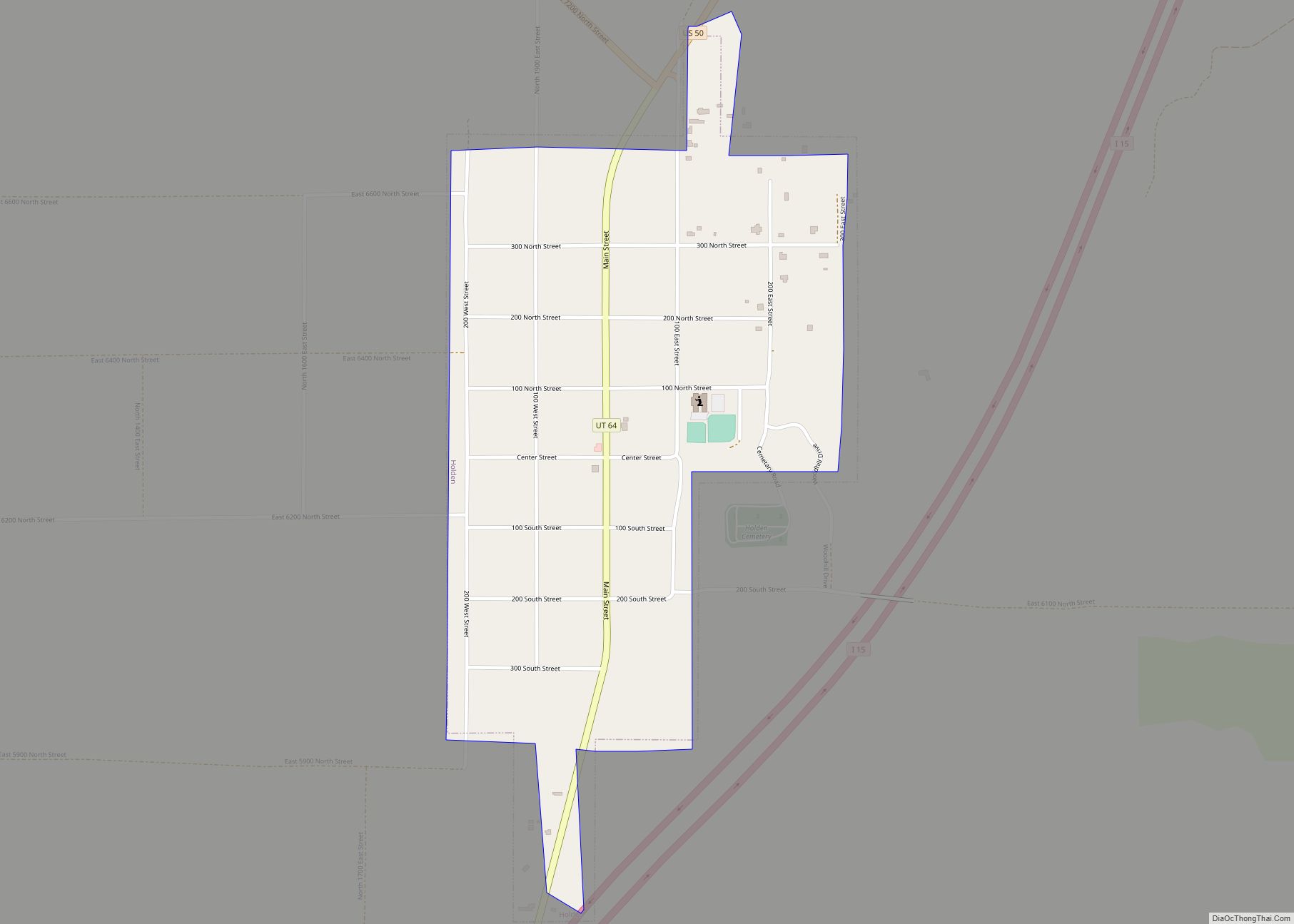
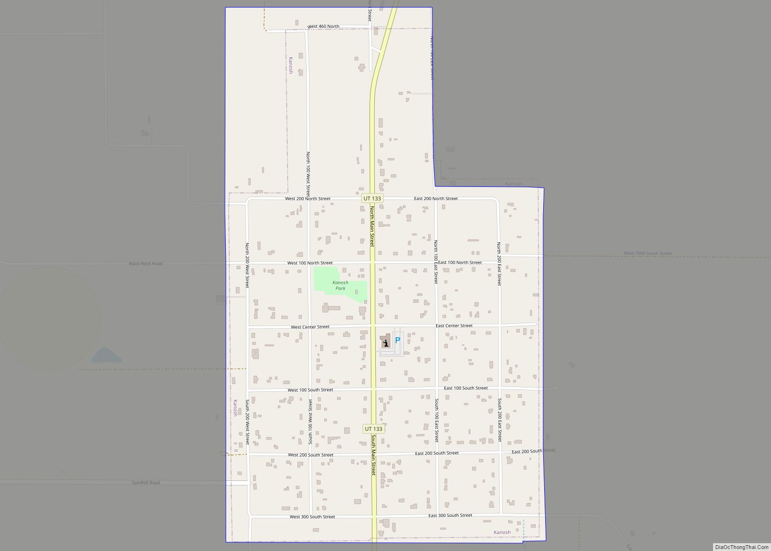
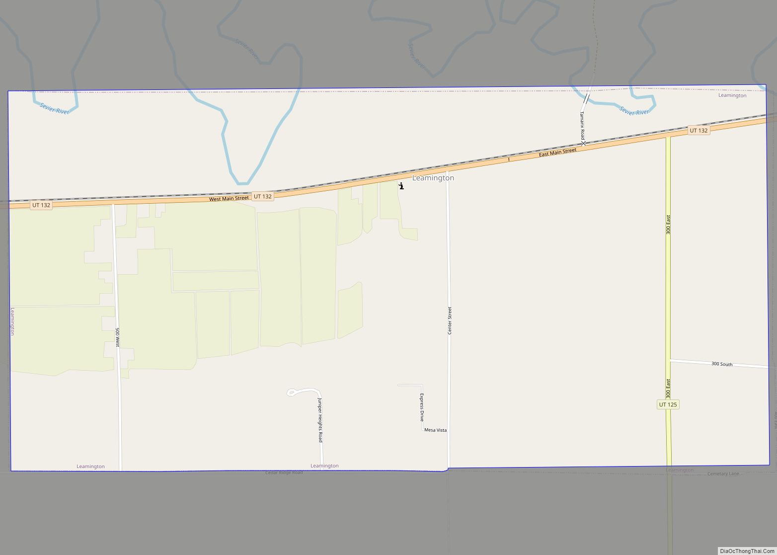
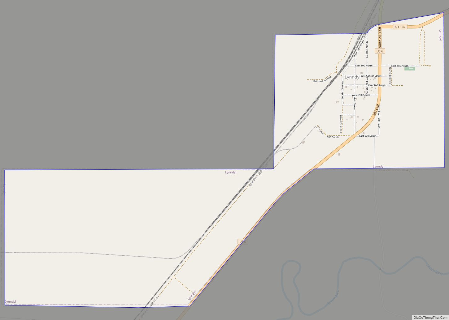
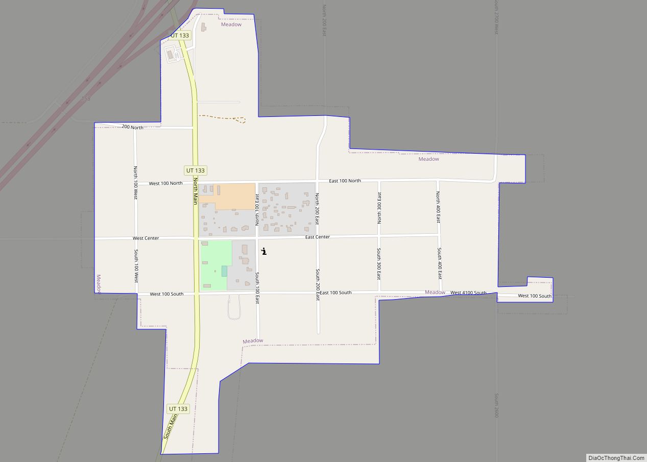
Online Interactive Map
Click on ![]() to view map in "full screen" mode.
to view map in "full screen" mode.
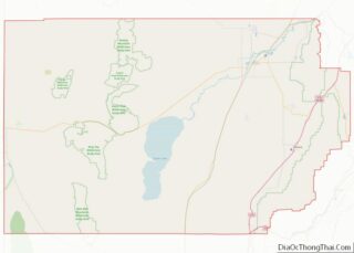
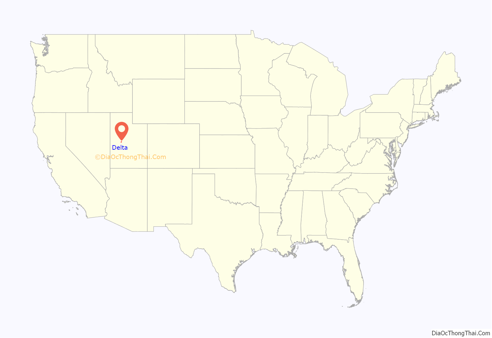
Delta location map. Where is Delta city?
History
Delta was originally a railroad switch called Aiken. In 1905 Aiken was renamed Melville when Millard County began plans to set up irrigation and a dam. People purchased land for 50 cents an acre as long as they agreed to develop a 40-acre lot. The name was changed again because of the similarities between Melville and Millville, another town in Utah. The name was changed on 12 May 1908 to Burtner. The name was finally changed to Delta on May 11, 1911. The name is quite fitting as the area was a delta of the Sevier River.
Topaz Relocation Camp
During World War II, after the attack on Pearl Harbor, tens of thousands of Japanese-Americans were gathered up and placed in 10 incarceration camps to protect military installations from espionage. One of these camps, then entitled Central Utah Relocation Center, was located near Delta and filled with former residents of the San Francisco Bay Area.
The Topaz Museum, located in Delta, works to preserve important sites at the relocation center and to provide information on the history of the camps.
Great Basin Museum
A history of the area is kept and displayed at The Great Basin Museum.
Gunnison Massacre Site
John Williams Gunnison was leading a federal surveying team near the Sevier Lake. He was ambushed by the Pahvant Indians and killed.
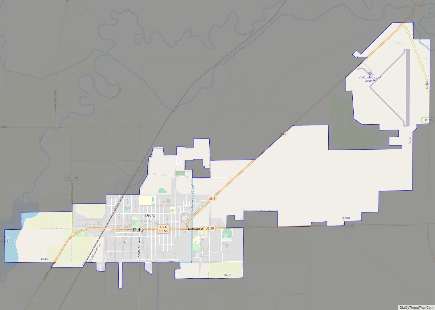
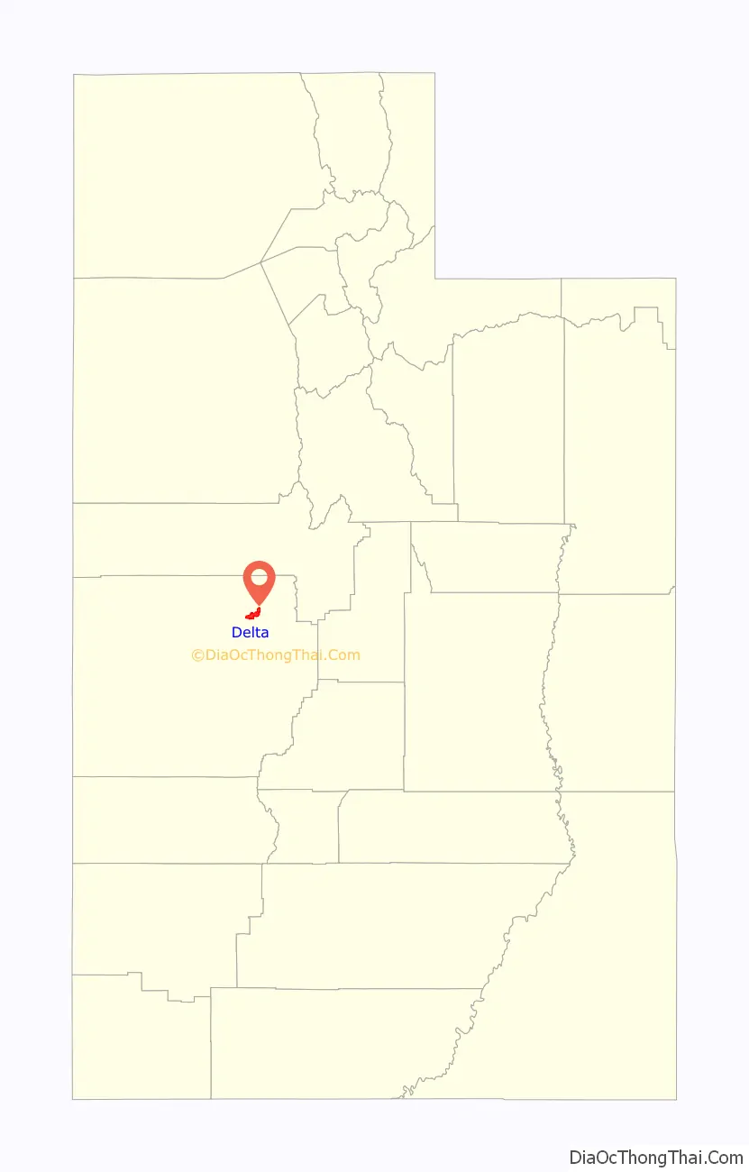
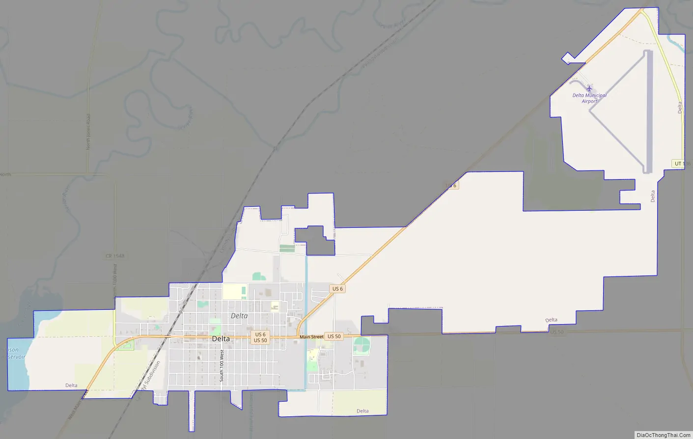
Delta Road Map
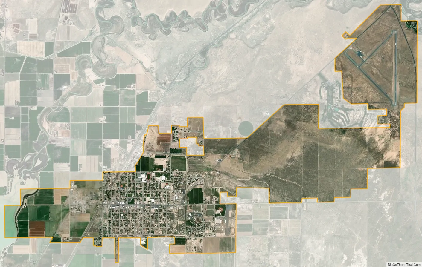
Delta city Satellite Map
Geography
Delta is located at 39°21′11″N 112°34′25″W / 39.353145°N 112.573656°W / 39.353145; -112.573656 (39.353145, −112.573656).
According to the United States Census Bureau, the city has a total area of 3.2 square miles or 8.3 square kilometres, all land.
Climate
Delta experiences a cold semi-arid climate (Köppen BSk) with hot summers and cold winters. Because of Delta’s altitude and aridity, temperatures drop quickly after sunset, especially in the summer. Winters are cold. Daytime highs in the winter are usually above freezing, but nighttime lows drop well below freezing, occasionally falling below 0 °F or −17.8 °C. Delta’s climate is similar to that of Salt Lake City, but much more arid.
Sevier River and Lake
The Sevier River flows near Delta. The Sevier River is generally used for irrigation before it reaches its eventual end, the dry Sevier Lake.
DMAD
DMAD is the initials for the Deseret Melville Abraham and Delta water company.
Just upstream of Delta, the Sevier River is dammed to provide irrigation water, reservoir storage, and cooling water for IPP Intermountain Power Project. This reservoir is referred to as the DMAD.
Agriculture is a major economic force in Delta and the Sevier valley.
Gunnison Bend Reservoir
Downstream of Delta, the Sevier River is dammed again for irrigation and reservoir storage. This reservoir is named Gunnison Bend Reservoir in honor of John Williams Gunnison.
See also
Map of Utah State and its subdivision: Map of other states:- Alabama
- Alaska
- Arizona
- Arkansas
- California
- Colorado
- Connecticut
- Delaware
- District of Columbia
- Florida
- Georgia
- Hawaii
- Idaho
- Illinois
- Indiana
- Iowa
- Kansas
- Kentucky
- Louisiana
- Maine
- Maryland
- Massachusetts
- Michigan
- Minnesota
- Mississippi
- Missouri
- Montana
- Nebraska
- Nevada
- New Hampshire
- New Jersey
- New Mexico
- New York
- North Carolina
- North Dakota
- Ohio
- Oklahoma
- Oregon
- Pennsylvania
- Rhode Island
- South Carolina
- South Dakota
- Tennessee
- Texas
- Utah
- Vermont
- Virginia
- Washington
- West Virginia
- Wisconsin
- Wyoming