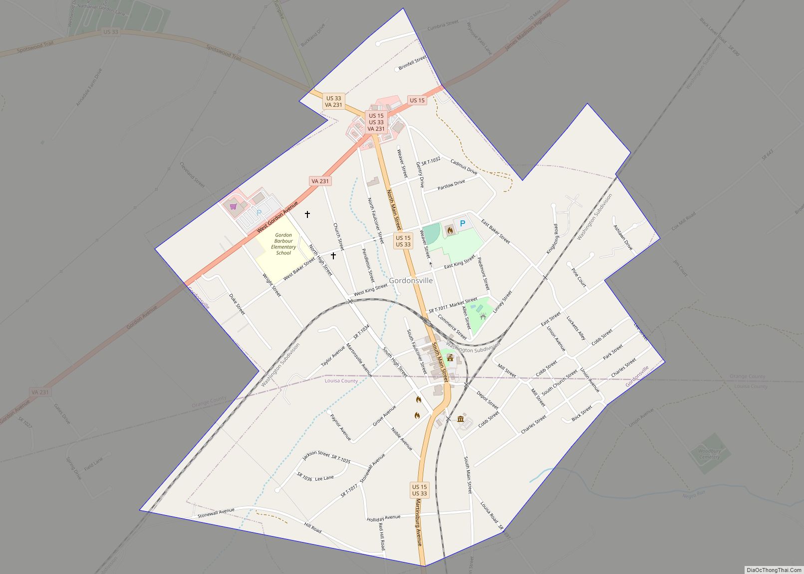
Map of Glen Allen CDP, Virginia
Glen Allen is a census-designated place (CDP) in Henrico County, Virginia, United States. The population was 16,187 as of the 2020 Census, up from 14,774 at the 2010 census. Areas outside the CDP which use a “Glen Allen” mailing address include residences in neighboring Hanover County. Glen Allen CDP overview: Name: Glen Allen CDP LSAD ... Read more
Map of Glen Allen CDP, Virginia
Map of Grottoes town
Grottoes is an incorporated town in Augusta and Rockingham counties in the U.S. state of Virginia. The population was 2,668 at the 2010 census. The Rockingham County portion of Grottoes is part of the Harrisonburg Metropolitan Statistical Area, while the small portion that extends into Augusta County is part of the Staunton–Waynesboro Micropolitan Statistical Area. ... Read more
Map of Grottoes town
Map of Greenville CDP, Virginia
Greenville CDP overview: Name: Greenville CDP LSAD Code: 57 LSAD Description: CDP (suffix) State: Virginia County: Augusta County FIPS code: 5132944 Online Interactive Map Greenville online map. Source: Basemap layers from Google Map, Open Street Map (OSM), Arcgisonline, Wmflabs. Boundary Data from Database of Global Administrative Areas. Greenville location map. Where is Greenville CDP? Greenville ... Read more
Map of Greenville CDP, Virginia
Map of Hamilton town, Virginia
Hamilton is a town in the Loudoun Valley of Loudoun County, Virginia, United States. The population was 506 as of the 2010 census. Hamilton town overview: Name: Hamilton town LSAD Code: 43 LSAD Description: town (suffix) State: Virginia County: Loudoun County Elevation: 512 ft (156 m) Total Area: 0.21 sq mi (0.54 km²) Land Area: 0.21 sq mi (0.54 km²) Water Area: 0.00 sq mi ... Read more
Map of Hamilton town, Virginia
Map of Hollymead CDP
Hollymead is a census-designated place (CDP) in Albemarle County, Virginia, United States. The population as of the 2010 Census was 7,690. Hollymead CDP overview: Name: Hollymead CDP LSAD Code: 57 LSAD Description: CDP (suffix) State: Virginia County: Albemarle County Total Area: 8,601 FIPS code: 5138032 GNISfeature ID: 2584858 Online Interactive Map Hollymead online map. Source: ... Read more
Map of Hollymead CDP
Map of Hollins CDP, Virginia
Hollins is a census-designated place (CDP) in Botetourt and Roanoke counties in the U.S. state of Virginia. Hollins covers much of the area known locally as “North County”. The population was 15,574 at the 2020 census. It is part of the Roanoke Metropolitan Statistical Area. The area is also the home of Hollins University in ... Read more
Map of Hollins CDP, Virginia
Map of Hiwassee CDP
Hiwassee is a census-designated place (CDP) in Pulaski County, Virginia, United States. The population as of the 2010 Census was 264. Hiwassee CDP overview: Name: Hiwassee CDP LSAD Code: 57 LSAD Description: CDP (suffix) State: Virginia County: Pulaski County FIPS code: 5137544 Online Interactive Map Hiwassee online map. Source: Basemap layers from Google Map, Open ... Read more
Map of Hiwassee CDP
Map of Highland Springs CDP
Highland Springs is a census-designated place (CDP) located in Henrico County, Virginia, United States, 4.3 miles (7 km) East of Richmond. The population was 16,604 at the 2020 census. Highland Springs CDP overview: Name: Highland Springs CDP LSAD Code: 57 LSAD Description: CDP (suffix) State: Virginia County: Henrico County Elevation: 171 ft (52 m) Total Area: 8.3 sq mi (21.6 km²) ... Read more
Map of Highland Springs CDP
Map of Henry Fork CDP
Henry Fork is an unincorporated community and census-designated place (CDP) in Franklin County, Virginia, United States, just south of Rocky Mount. The population as of the 2010 census was 1,234. Henry Fork CDP overview: Name: Henry Fork CDP LSAD Code: 57 LSAD Description: CDP (suffix) State: Virginia County: Franklin County Elevation: 1,220 ft (370 m) Total Area: ... Read more
Map of Henry Fork CDP
Map of Innsbrook CDP, Virginia
Innsbrook is a census-designated place in Henrico County, Virginia, United States. The population as of the 2010 Census was 7,753. Innsbrook is a mixed-use corporate center in Central Virginia that was founded in 1979 by local developer Sidney Gunst on property owned by David Arenstein and Henry Stern. Located approximately 13 miles northwest of Richmond’s ... Read more
Map of Innsbrook CDP, Virginia
Map of Kings Park West CDP
Kings Park West is a census-designated place in the eastern USA, in Fairfax County, Virginia, southwest of Washington, D.C. The population as of the 2010 census was 13,390. Kings Park West CDP overview: Name: Kings Park West CDP LSAD Code: 57 LSAD Description: CDP (suffix) State: Virginia County: Fairfax County Elevation: 400 ft (100 m) Total Area: ... Read more
Map of Kings Park West CDP
Map of Laurel CDP, Virginia
Laurel is a census-designated place (CDP) in western Henrico County, Virginia. The population was 16,713 at the 2010 United States Census. It is the county seat of Henrico County. It is the location of the Laurel Skate Park. The bowl was recently filled in with smooth concrete and the vertical ramp removed to make way ... Read more
Map of Laurel CDP, Virginia