Laurel is a census-designated place (CDP) in western Henrico County, Virginia. The population was 16,713 at the 2010 United States Census. It is the county seat of Henrico County.
It is the location of the Laurel Skate Park. The bowl was recently filled in with smooth concrete and the vertical ramp removed to make way for safer amenities.
Laurel is the location of the Laurel Industrial School Historic District.
| Name: | Laurel CDP |
|---|---|
| LSAD Code: | 57 |
| LSAD Description: | CDP (suffix) |
| State: | Virginia |
| County: | Henrico County |
| Elevation: | 243 ft (74 m) |
| Total Area: | 5.5 sq mi (14.2 km²) |
| Land Area: | 5.5 sq mi (14.2 km²) |
| Water Area: | 0.0 sq mi (0.0 km²) |
| Total Population: | 16,713 |
| Population Density: | 3,000/sq mi (1,200/km²) |
| FIPS code: | 5144280 |
| GNISfeature ID: | 1469155 |
Online Interactive Map
Click on ![]() to view map in "full screen" mode.
to view map in "full screen" mode.
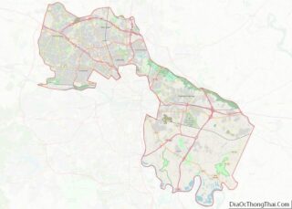
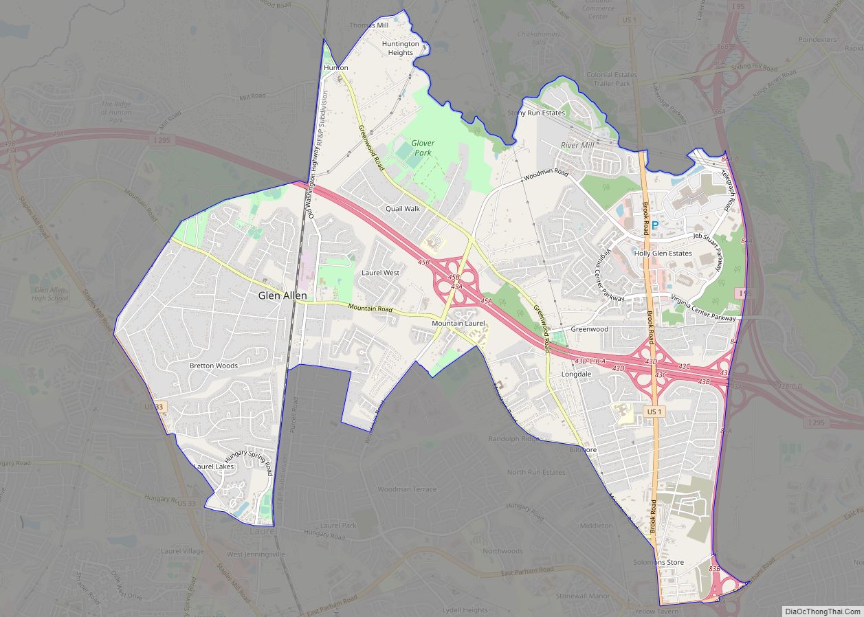
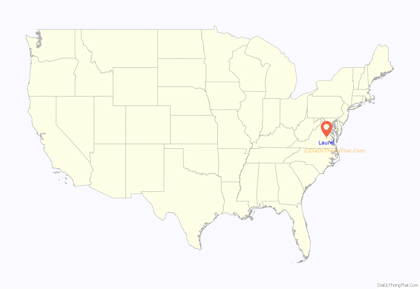
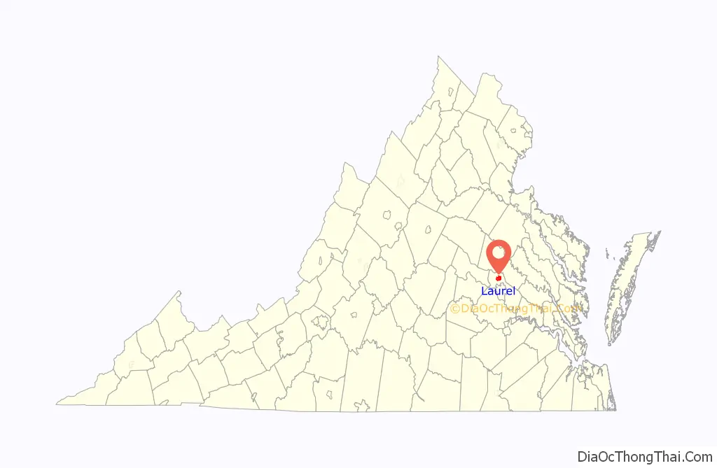
Laurel location map. Where is Laurel CDP?
History
Laurel’s previous names include Hungary, Hungary Station, Jenningsville, and School. In the 19th century, Laurel was a stop on the Richmond, Fredericksburg and Potomac (RF&P) Railroad. It was a spur line that connected the coalfields in western Henrico with the rail network. During the Civil War, the station was burned. Union Army Colonel Ulric Dahlgren’s body was secretly buried there in March 1864; the body was later re-interred to Philadelphia. The RF&P railroad is succeeded by CSX Transportation, which still operates on the same rights-of-way.
The A.A. Harvey General Store was built c. 1910 to serve the community. Over the years, the building has undergone several transformations. It went from general store to housing. It then became the Crystal Ice Co. and the Laurel Post Office, where Lillian Merkle was Postmaster. The Post Office was one of only a few in the United States that was privately owned. The building was completely restored in 1991 to its present use as the Laurel Gallery. Robert Bluford, the preservationist, made efforts to ensure that the restored building stayed true to its original style.
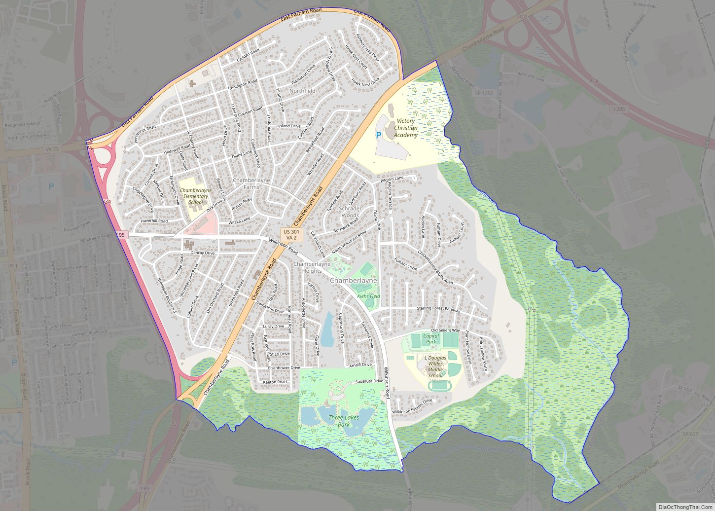
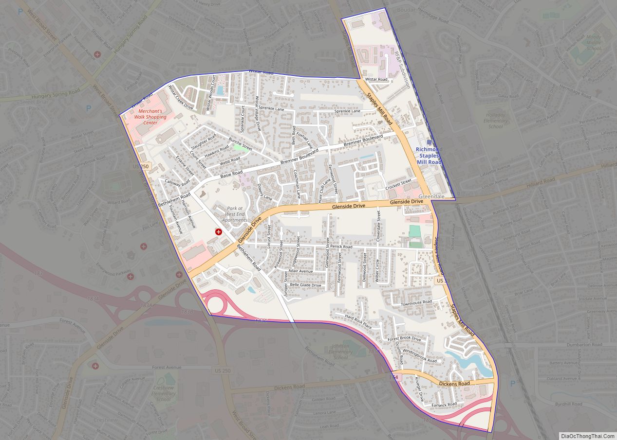
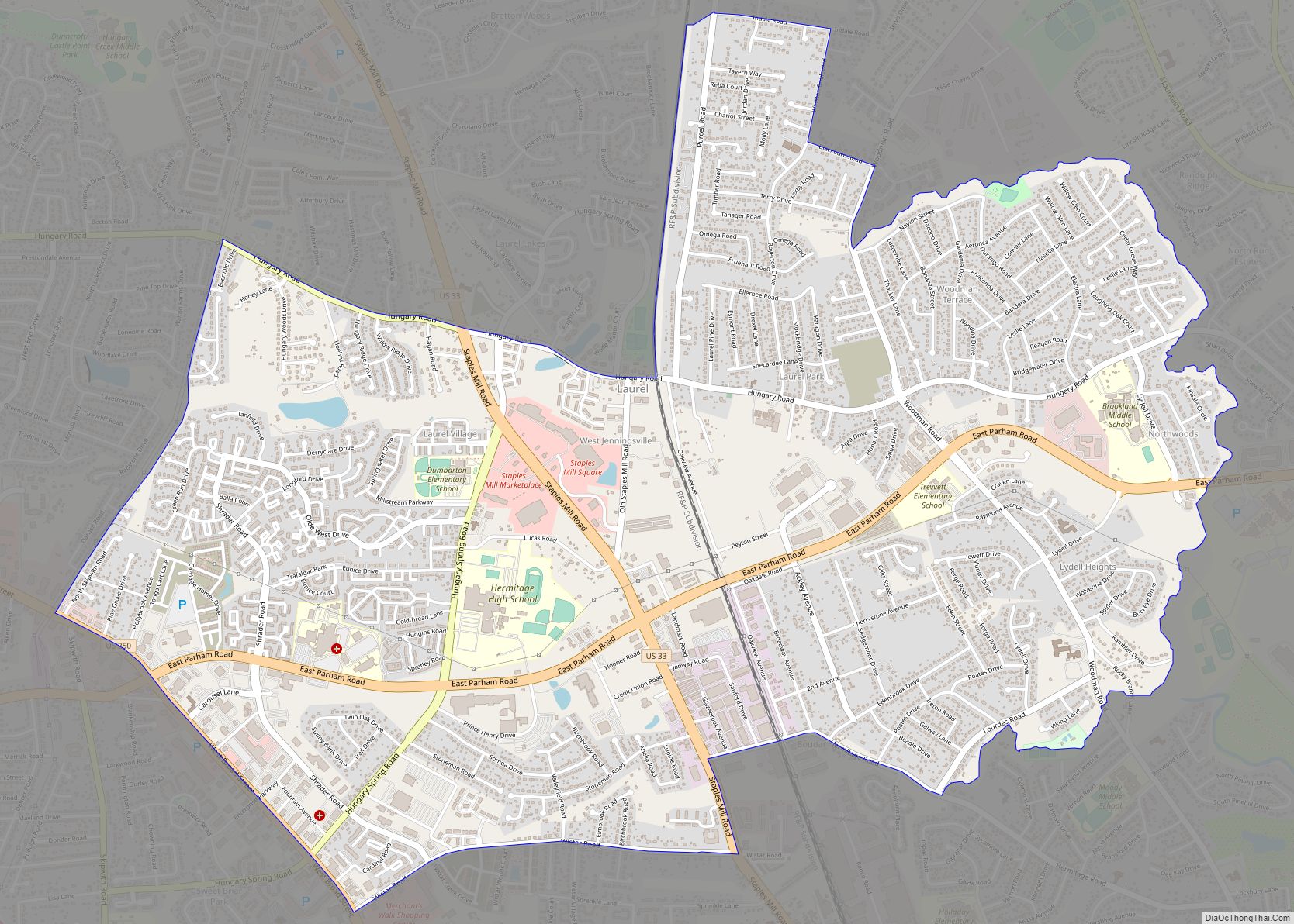
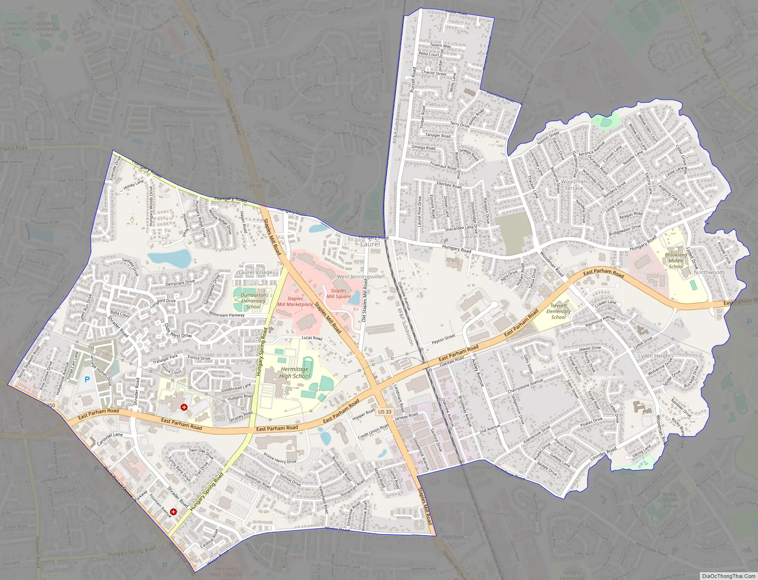
Laurel Road Map
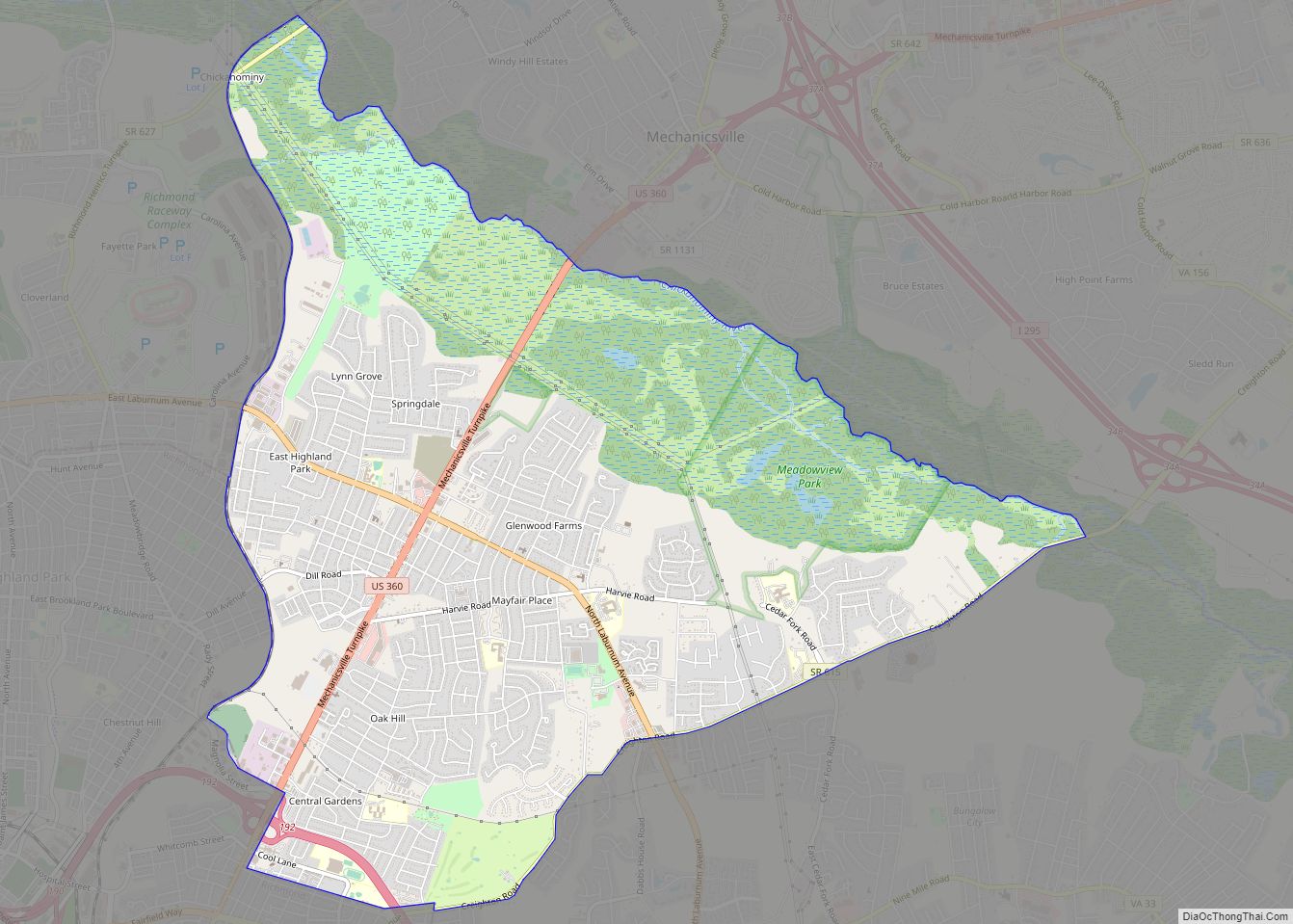
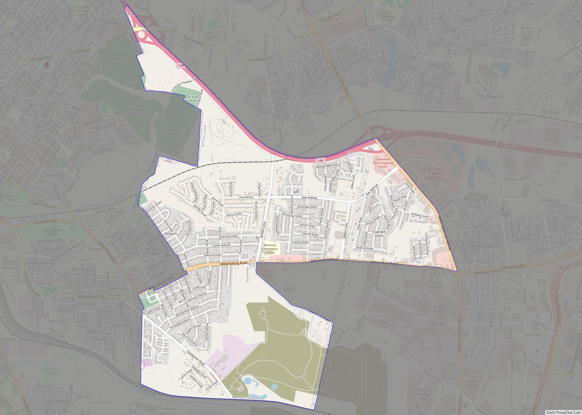
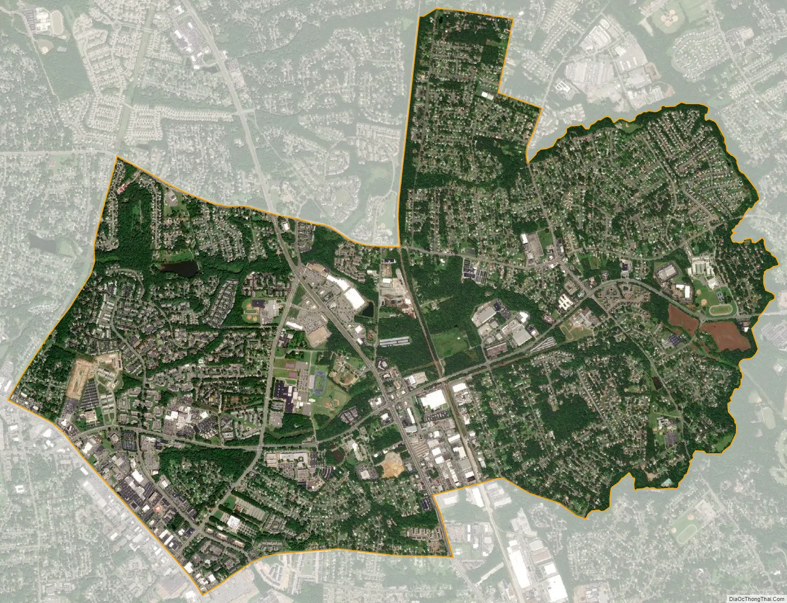
Laurel city Satellite Map
Geography
Laurel is located at 37°38′2″N 77°30′24″W / 37.63389°N 77.50667°W / 37.63389; -77.50667 (37.634012, −77.506661).
According to the United States Census Bureau, the CDP has a total area of 5.4 square miles (14.1 km), of which 5.4 square miles (14.0 km) is land and 0.04 square miles (0.1 km), or 0.71%, is water.
See also
Map of Virginia State and its subdivision:- Accomack
- Albemarle
- Alexandria
- Alleghany
- Amelia
- Amherst
- Appomattox
- Arlington
- Augusta
- Bath
- Bedford
- Bedford City
- Bland
- Botetourt
- Bristol
- Brunswick
- Buchanan
- Buckingham
- Buena Vista
- Campbell
- Caroline
- Carroll
- Charles City
- Charlotte
- Charlottesville
- Chesapeake
- Chesterfield
- Clarke
- Clifton Forge City
- Colonial Heights
- Covington
- Craig
- Culpeper
- Cumberland
- Danville
- Dickenson
- Dinwiddie
- Emporia
- Essex
- Fairfax
- Fairfax City
- Falls Church
- Fauquier
- Floyd
- Fluvanna
- Franklin
- Frederick
- Fredericksburg
- Galax
- Giles
- Gloucester
- Goochland
- Grayson
- Greene
- Greensville
- Halifax
- Hampton
- Hanover
- Harrisonburg
- Henrico
- Henry
- Highland
- Hopewell
- Isle of Wight
- James City
- King and Queen
- King George
- King William
- Lancaster
- Lee
- Lexington
- Loudoun
- Louisa
- Lunenburg
- Lynchburg
- Madison
- Manassas
- Manassas Park
- Martinsville
- Mathews
- Mecklenburg
- Middlesex
- Montgomery
- Nelson
- New Kent
- Newport News
- Norfolk
- Northampton
- Northumberland
- Norton
- Nottoway
- Orange
- Page
- Patrick
- Petersburg
- Pittsylvania
- Poquoson
- Portsmouth
- Powhatan
- Prince Edward
- Prince George
- Prince William
- Pulaski
- Radford
- Rappahannock
- Richmond
- Roanoke
- Roanoke City
- Rockbridge
- Rockingham
- Russell
- Salem
- Scott
- Shenandoah
- Smyth
- Southampton
- Spotsylvania
- Stafford
- Staunton
- Suffolk
- Surry
- Sussex
- Tazewell
- Virginia Beach
- Warren
- Washington
- Waynesboro
- Westmoreland
- Williamsburg
- Winchester
- Wise
- Wythe
- York
- Alabama
- Alaska
- Arizona
- Arkansas
- California
- Colorado
- Connecticut
- Delaware
- District of Columbia
- Florida
- Georgia
- Hawaii
- Idaho
- Illinois
- Indiana
- Iowa
- Kansas
- Kentucky
- Louisiana
- Maine
- Maryland
- Massachusetts
- Michigan
- Minnesota
- Mississippi
- Missouri
- Montana
- Nebraska
- Nevada
- New Hampshire
- New Jersey
- New Mexico
- New York
- North Carolina
- North Dakota
- Ohio
- Oklahoma
- Oregon
- Pennsylvania
- Rhode Island
- South Carolina
- South Dakota
- Tennessee
- Texas
- Utah
- Vermont
- Virginia
- Washington
- West Virginia
- Wisconsin
- Wyoming