Innsbrook is a census-designated place in Henrico County, Virginia, United States. The population as of the 2010 Census was 7,753.
Innsbrook is a mixed-use corporate center in Central Virginia that was founded in 1979 by local developer Sidney Gunst on property owned by David Arenstein and Henry Stern. Located approximately 13 miles northwest of Richmond’s central business district at the confluence of I-64 and I-295, the development is the region’s second largest employment center. Currently it encompasses over seven million square feet of office space, representing over 400 companies and 22,000 employees. The development includes approximately 1000 residential units and 100,000 sq ft of retail and 12 hotels.
| Name: | Innsbrook CDP |
|---|---|
| LSAD Code: | 57 |
| LSAD Description: | CDP (suffix) |
| State: | Virginia |
| County: | Henrico County |
| Total Area: | 4.4 sq mi (11.5 km²) |
| Land Area: | 4.4 sq mi (11.3 km²) |
| Water Area: | 0.08 sq mi (0.2 km²) |
| Total Population: | 7,753 |
| Population Density: | 1,700/sq mi (670/km²) |
| ZIP code: | 23060 |
| FIPS code: | 5139920 |
| GNISfeature ID: | 2612516 |
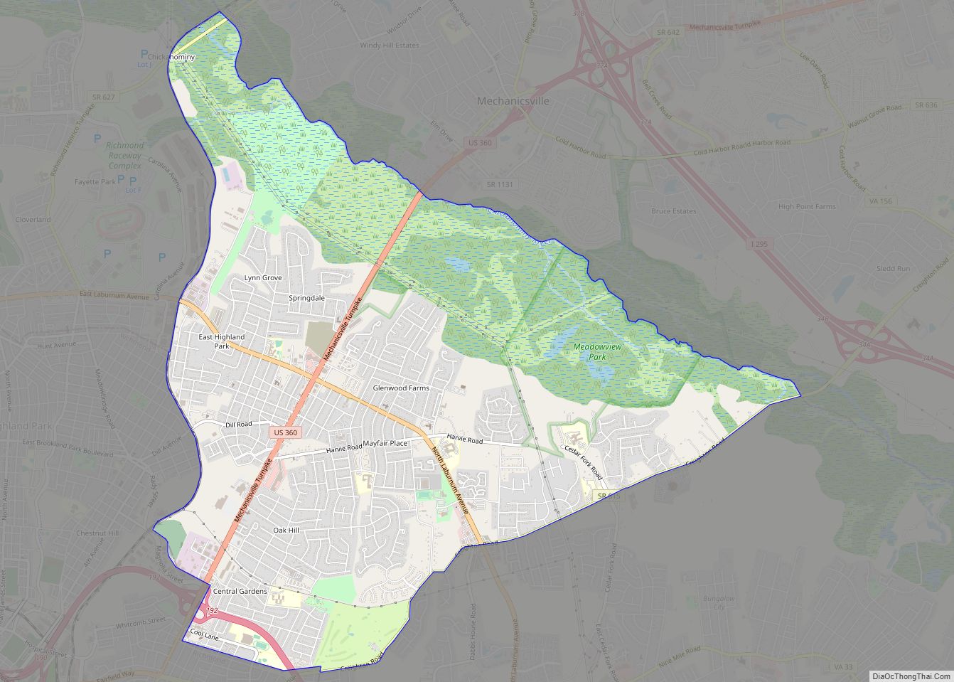
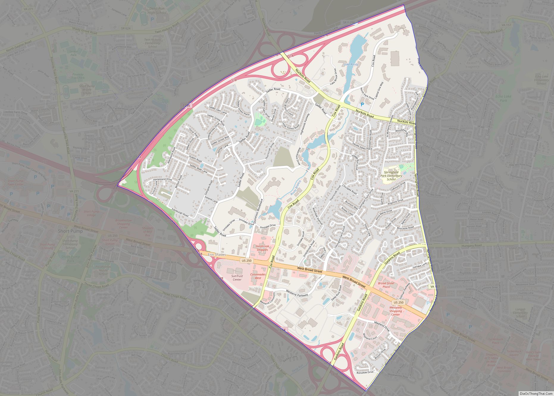
Online Interactive Map
Click on ![]() to view map in "full screen" mode.
to view map in "full screen" mode.
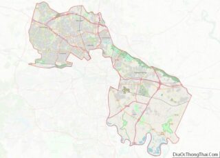
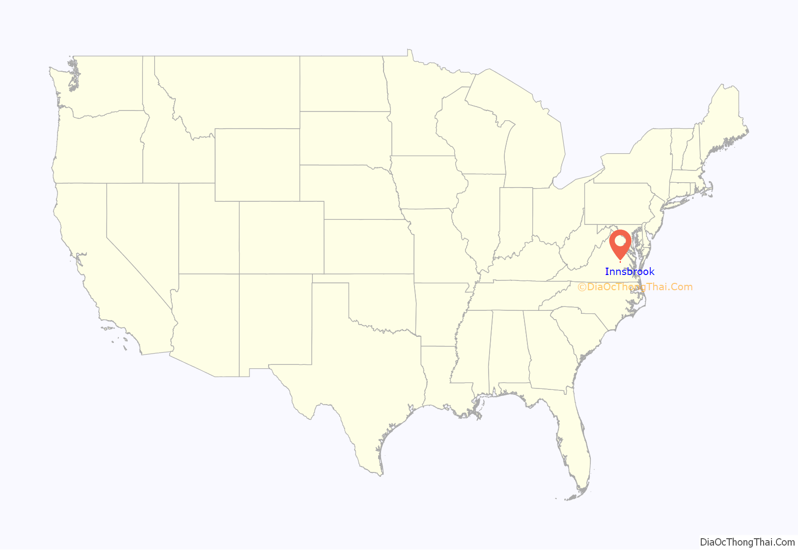
Innsbrook location map. Where is Innsbrook CDP?

History
- Electronic Data Systems (EDS) plans center at Innsbrook (1989)
- The Computer Co. relocated headquarters to Innsbrook (1989)
- US Sprint puts 500-employee service center in Innsbrook (1989)
- Two firms, MassMutual and Rowe Development Co., move offices to Innsbrook, expand (1989)
- Development companies buy 50 acre technology park property at Innsbrook (1989)
- Aetna Life and Causality Co. relocates divisions to Innsbrook (1989)
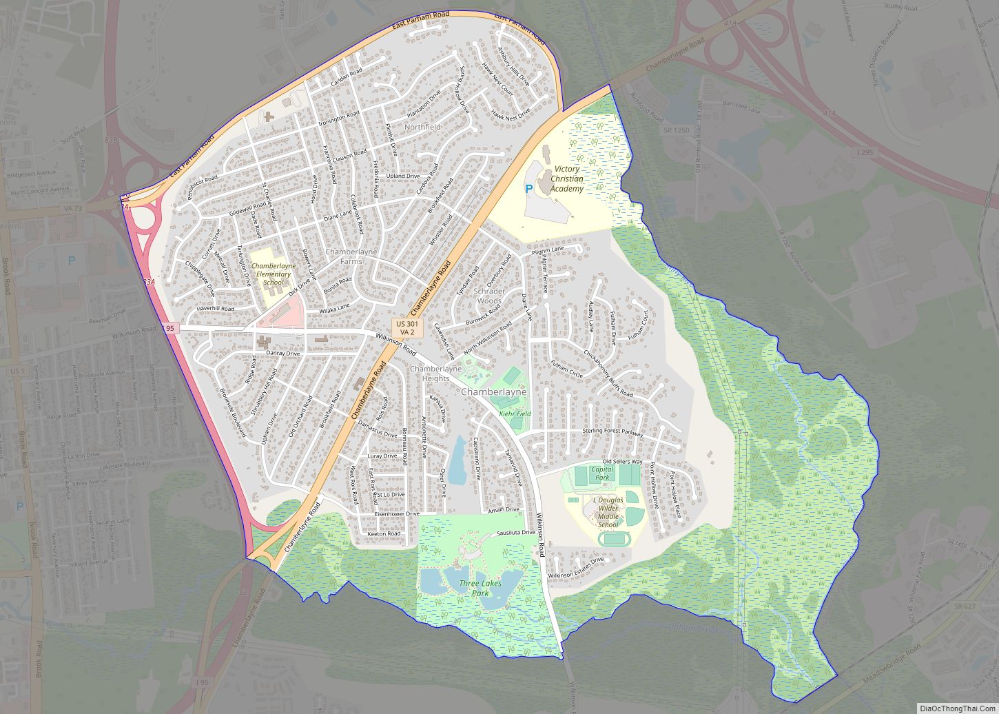
Innsbrook Road Map
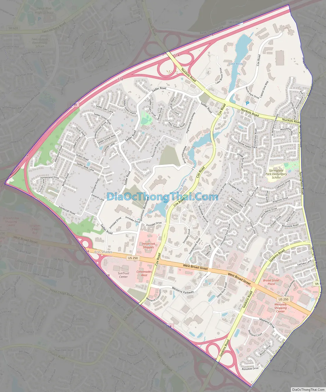
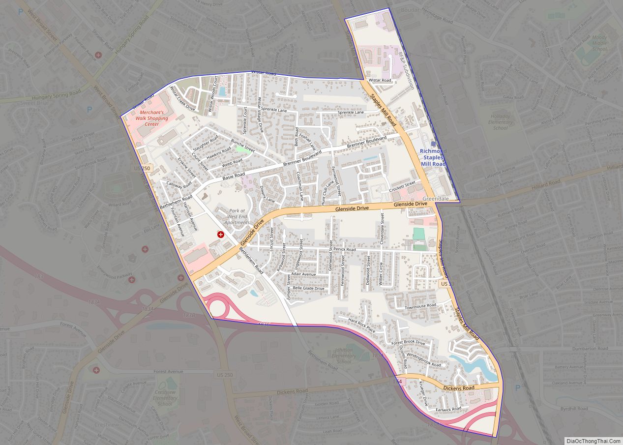
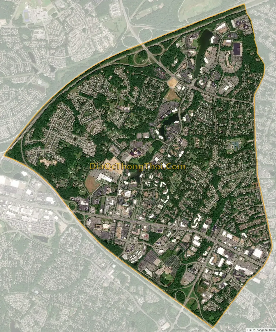
Innsbrook city Satellite Map
See also
Map of Virginia State and its subdivision:- Accomack
- Albemarle
- Alexandria
- Alleghany
- Amelia
- Amherst
- Appomattox
- Arlington
- Augusta
- Bath
- Bedford
- Bedford City
- Bland
- Botetourt
- Bristol
- Brunswick
- Buchanan
- Buckingham
- Buena Vista
- Campbell
- Caroline
- Carroll
- Charles City
- Charlotte
- Charlottesville
- Chesapeake
- Chesterfield
- Clarke
- Clifton Forge City
- Colonial Heights
- Covington
- Craig
- Culpeper
- Cumberland
- Danville
- Dickenson
- Dinwiddie
- Emporia
- Essex
- Fairfax
- Fairfax City
- Falls Church
- Fauquier
- Floyd
- Fluvanna
- Franklin
- Frederick
- Fredericksburg
- Galax
- Giles
- Gloucester
- Goochland
- Grayson
- Greene
- Greensville
- Halifax
- Hampton
- Hanover
- Harrisonburg
- Henrico
- Henry
- Highland
- Hopewell
- Isle of Wight
- James City
- King and Queen
- King George
- King William
- Lancaster
- Lee
- Lexington
- Loudoun
- Louisa
- Lunenburg
- Lynchburg
- Madison
- Manassas
- Manassas Park
- Martinsville
- Mathews
- Mecklenburg
- Middlesex
- Montgomery
- Nelson
- New Kent
- Newport News
- Norfolk
- Northampton
- Northumberland
- Norton
- Nottoway
- Orange
- Page
- Patrick
- Petersburg
- Pittsylvania
- Poquoson
- Portsmouth
- Powhatan
- Prince Edward
- Prince George
- Prince William
- Pulaski
- Radford
- Rappahannock
- Richmond
- Roanoke
- Roanoke City
- Rockbridge
- Rockingham
- Russell
- Salem
- Scott
- Shenandoah
- Smyth
- Southampton
- Spotsylvania
- Stafford
- Staunton
- Suffolk
- Surry
- Sussex
- Tazewell
- Virginia Beach
- Warren
- Washington
- Waynesboro
- Westmoreland
- Williamsburg
- Winchester
- Wise
- Wythe
- York
- Alabama
- Alaska
- Arizona
- Arkansas
- California
- Colorado
- Connecticut
- Delaware
- District of Columbia
- Florida
- Georgia
- Hawaii
- Idaho
- Illinois
- Indiana
- Iowa
- Kansas
- Kentucky
- Louisiana
- Maine
- Maryland
- Massachusetts
- Michigan
- Minnesota
- Mississippi
- Missouri
- Montana
- Nebraska
- Nevada
- New Hampshire
- New Jersey
- New Mexico
- New York
- North Carolina
- North Dakota
- Ohio
- Oklahoma
- Oregon
- Pennsylvania
- Rhode Island
- South Carolina
- South Dakota
- Tennessee
- Texas
- Utah
- Vermont
- Virginia
- Washington
- West Virginia
- Wisconsin
- Wyoming