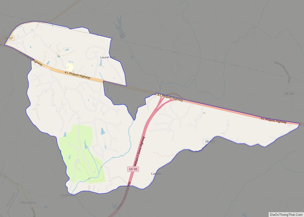
Map of Boyce town, Virginia

Map of Boyce town, Virginia

Boyce is a town in Clarke County, Virginia, United States. The population was 749 at the 2020 census, up from 589 at the 2010 census. Boyce town overview: Name: Boyce town LSAD Code: 43 LSAD Description: town (suffix) State: Virginia County: Clarke County Elevation: 597 ft (182 m) Total Area: 0.37 sq mi (0.95 km²) Land Area: 0.37 sq mi (0.95 km²) Water … Read more

Map of Bowling Green town, Virginia

Map of Bowling Green town, Virginia

Bowling Green is an incorporated town in Caroline County, Virginia, United States. The population was 1,111 at the 2010 census. The county seat of Caroline County since 1803, Bowling Green is best known as the “cradle of American horse racing”, the home of the second oldest Virginia Masonic Lodge, and the current location of the … Read more

Map of Brookneal town

Map of Brookneal town

Brookneal is an incorporated town in Campbell County, Virginia, United States. The population was 1,112 as of the 2010 census. It is part of the Lynchburg Metropolitan Statistical Area. Brookneal town overview: Name: Brookneal town LSAD Code: 43 LSAD Description: town (suffix) State: Virginia County: Campbell County Elevation: 568 ft (173 m) Total Area: 3.59 sq mi (9.30 km²) Land … Read more

Map of Brodnax town

Map of Brodnax town

Brodnax is a town in Brunswick and Mecklenburg counties in the U.S. state of Virginia. The population was 298 at the 2010 census. Brodnax town overview: Name: Brodnax town LSAD Code: 43 LSAD Description: town (suffix) State: Virginia County: Brunswick County, Mecklenburg County Elevation: 410 ft (125 m) Total Area: 0.71 sq mi (1.84 km²) Land Area: 0.70 sq mi (1.83 km²) Water … Read more

Map of Broadway town, Virginia

Map of Broadway town, Virginia

Broadway is a town in Rockingham County, Virginia, United States. The population was 3,691 at the 2010 census. It is included in the Harrisonburg Metropolitan Statistical Area. Broadway town overview: Name: Broadway town LSAD Code: 43 LSAD Description: town (suffix) State: Virginia County: Rockingham County Elevation: 1,043 ft (318 m) Total Area: 2.40 sq mi (6.22 km²) Land Area: 2.38 sq mi … Read more

Map of Broadlands CDP, Virginia

Map of Broadlands CDP, Virginia

Broadlands is a census-designated place (CDP) in Loudoun County, Virginia, United States. It is a 1,500-acre (610 ha) master-planned community started and developed by Van Metre Homes in the 1990s. It is built on wetlands and is certified as a Community Wildlife Habitat by the National Wildlife Federation. The population as of the 2010 Census was … Read more

Map of Burke Centre CDP

Map of Burke Centre CDP

Burke Centre is a planned residential community located west of Burke in Fairfax County, Virginia, United States. Burke Centre is a planned community managed by the Burke Centre Conservancy homeowners’ association (HOA). Burke Centre is also the name of a census-designated place (CDP). The CDP boundaries extend beyond the planned community limits. As of the … Read more

Map of Bull Run CDP

Map of Bull Run CDP

Bull Run is a census-designated place (CDP) in Prince William County, Virginia. The population was 14,983 at the 2010 census. Bull Run CDP overview: Name: Bull Run CDP LSAD Code: 57 LSAD Description: CDP (suffix) State: Virginia County: Prince William County Elevation: 285 ft (87 m) Total Area: 2.7 sq mi (6.9 km²) Land Area: 2.7 sq mi (6.9 km²) Water Area: 0.0 sq mi … Read more

Map of Bull Run Mountain Estates CDP

Map of Bull Run Mountain Estates CDP

Bull Run Mountain Estates is a census-designated place in Prince William County, Virginia. The population as of the 2010 Census was 1,261. It is located along the east slope of the Bull Run Mountains, between Haymarket and Aldie. Bull Run Mountain Estates CDP overview: Name: Bull Run Mountain Estates CDP LSAD Code: 57 LSAD Description: … Read more

Map of Buckingham Courthouse CDP

Map of Buckingham Courthouse CDP

Buckingham Courthouse CDP overview: Name: Buckingham Courthouse CDP LSAD Code: 57 LSAD Description: CDP (suffix) State: Virginia County: Buckingham County FIPS code: 5110856 Online Interactive Map Buckingham Courthouse online map. Source: Basemap layers from Google Map, Open Street Map (OSM), Arcgisonline, Wmflabs. Boundary Data from Database of Global Administrative Areas. Buckingham Courthouse location map. Where … Read more

Map of Buckhall CDP

Map of Buckhall CDP

Buckhall, Virginia is an unincorporated community in the census-designated place (CDP) of the same name, in Prince William County, Virginia. Its population of was 20,420 as of the 2020 Census. Buckhall CDP overview: Name: Buckhall CDP LSAD Code: 57 LSAD Description: CDP (suffix) State: Virginia County: Prince William County Total Area: 20,420 ZIP code: 20111 … Read more

Map of Buchanan town, Virginia

Map of Buchanan town, Virginia

Buchanan (/bəˈkænən/ bə-KAN-ən) is a town in Botetourt County, Virginia, United States. The population was 1,196 at the 2020 census. It is part of the Roanoke Metropolitan Statistical Area. It was the western terminus of the James River and Kanawha Canal when construction on the canal ended. Buchanan town overview: Name: Buchanan town LSAD Code: … Read more