Charlotte Court House is a town in and the county seat of Charlotte County, Virginia, United States. The population was 756 at the 2020 census.
| Name: | Charlotte Court House town |
|---|---|
| LSAD Code: | 43 |
| LSAD Description: | town (suffix) |
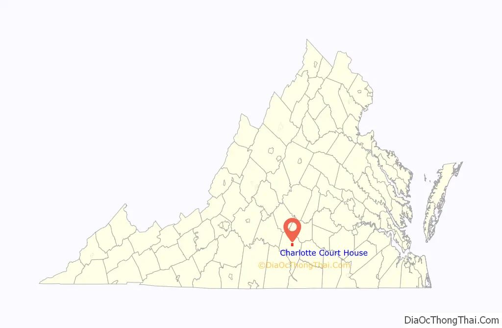
| State: | Virginia |
| County: | Charlotte County |
| Elevation: | 620 ft (190 m) |
| Total Area: | 3.96 sq mi (10.3 km²) |
| Land Area: | 3.96 sq mi (10.3 km²) |
| Water Area: | 0.00 sq mi (0.0 km²) |
| Total Population: | 756 |
| Population Density: | 190.9/sq mi (73.7/km²) |
| ZIP code: | 23923 |
| Area code: | 434 |
| FIPS code: | 5114952 |
| GNISfeature ID: | 1498462 |
| Website: | www.towncch.com |
Online Interactive Map
Click on ![]() to view map in "full screen" mode.
to view map in "full screen" mode.
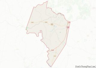
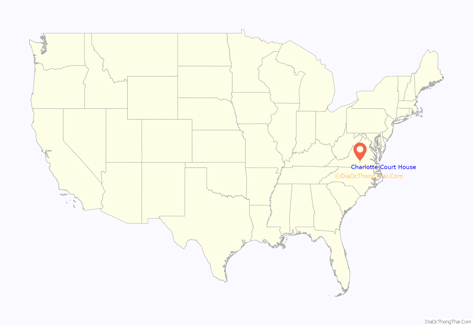
Charlotte Court House location map. Where is Charlotte Court House town?
History
Patrick Henry gave his last political speech in opposition to the Virginia and Kentucky Resolutions at Charlotte Courthouse in March 1799. The central courthouse area is a source of pride for those who work and live there. Many of the buildings represent architecture from the 1800s, including the Thomas Jefferson-designed courthouse building. The courthouse building was used in the filming of Sommersby, a movie about the post-war South, in the summer of 1992.
The Charlotte Court House Historic District, Charlotte County Courthouse, Greenfield, and Woodfork are listed on the National Register of Historic Places.
This settlement was originally incorporated as ‘The Magazine’ in 1756. Its name changed to ‘Daltonsburgh’ in 1759, to ‘Marysville’ in 1836, and to ‘Smithfield’ in 1874. In 1901 the incorporation was changed to ‘Charlotte Courthouse’, and in 1989 it changed again, to its present name.
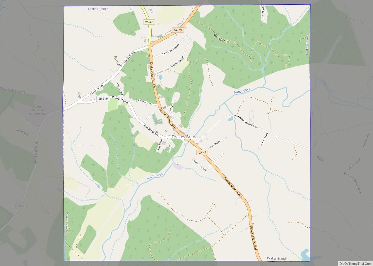
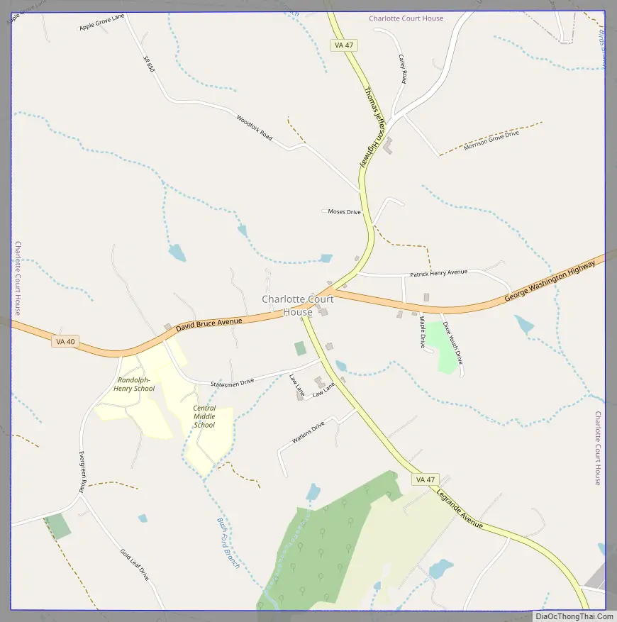
Charlotte Court House Road Map
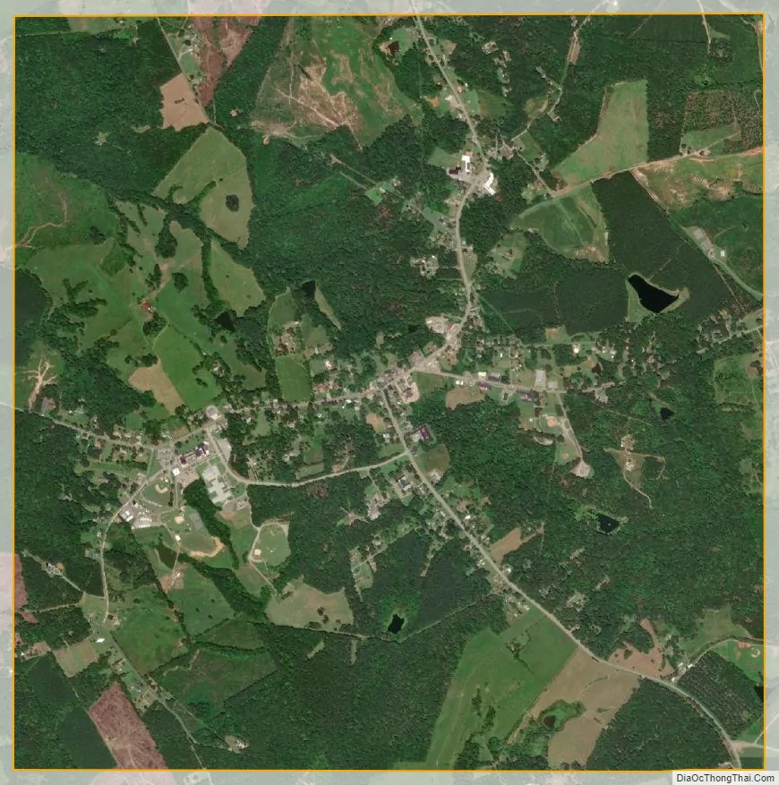
Charlotte Court House city Satellite Map
Geography
The town is located near the center of Charlotte County. Virginia State Route 40 passes through the town center, leading west 19 miles (31 km) to Brookneal and east 9 miles (14 km) to Keysville. Virginia State Route 47 crosses Route 40 in the center of town, leading north 17 miles (27 km) to Pamplin and south 13 miles (21 km) to U.S. Route 15.
According to the United States Census Bureau, Charlotte Court House has a total area of 4.0 square miles (10.3 km), all of it land.
See also
Map of Virginia State and its subdivision:- Accomack
- Albemarle
- Alexandria
- Alleghany
- Amelia
- Amherst
- Appomattox
- Arlington
- Augusta
- Bath
- Bedford
- Bedford City
- Bland
- Botetourt
- Bristol
- Brunswick
- Buchanan
- Buckingham
- Buena Vista
- Campbell
- Caroline
- Carroll
- Charles City
- Charlotte
- Charlottesville
- Chesapeake
- Chesterfield
- Clarke
- Clifton Forge City
- Colonial Heights
- Covington
- Craig
- Culpeper
- Cumberland
- Danville
- Dickenson
- Dinwiddie
- Emporia
- Essex
- Fairfax
- Fairfax City
- Falls Church
- Fauquier
- Floyd
- Fluvanna
- Franklin
- Frederick
- Fredericksburg
- Galax
- Giles
- Gloucester
- Goochland
- Grayson
- Greene
- Greensville
- Halifax
- Hampton
- Hanover
- Harrisonburg
- Henrico
- Henry
- Highland
- Hopewell
- Isle of Wight
- James City
- King and Queen
- King George
- King William
- Lancaster
- Lee
- Lexington
- Loudoun
- Louisa
- Lunenburg
- Lynchburg
- Madison
- Manassas
- Manassas Park
- Martinsville
- Mathews
- Mecklenburg
- Middlesex
- Montgomery
- Nelson
- New Kent
- Newport News
- Norfolk
- Northampton
- Northumberland
- Norton
- Nottoway
- Orange
- Page
- Patrick
- Petersburg
- Pittsylvania
- Poquoson
- Portsmouth
- Powhatan
- Prince Edward
- Prince George
- Prince William
- Pulaski
- Radford
- Rappahannock
- Richmond
- Roanoke
- Roanoke City
- Rockbridge
- Rockingham
- Russell
- Salem
- Scott
- Shenandoah
- Smyth
- Southampton
- Spotsylvania
- Stafford
- Staunton
- Suffolk
- Surry
- Sussex
- Tazewell
- Virginia Beach
- Warren
- Washington
- Waynesboro
- Westmoreland
- Williamsburg
- Winchester
- Wise
- Wythe
- York
- Alabama
- Alaska
- Arizona
- Arkansas
- California
- Colorado
- Connecticut
- Delaware
- District of Columbia
- Florida
- Georgia
- Hawaii
- Idaho
- Illinois
- Indiana
- Iowa
- Kansas
- Kentucky
- Louisiana
- Maine
- Maryland
- Massachusetts
- Michigan
- Minnesota
- Mississippi
- Missouri
- Montana
- Nebraska
- Nevada
- New Hampshire
- New Jersey
- New Mexico
- New York
- North Carolina
- North Dakota
- Ohio
- Oklahoma
- Oregon
- Pennsylvania
- Rhode Island
- South Carolina
- South Dakota
- Tennessee
- Texas
- Utah
- Vermont
- Virginia
- Washington
- West Virginia
- Wisconsin
- Wyoming