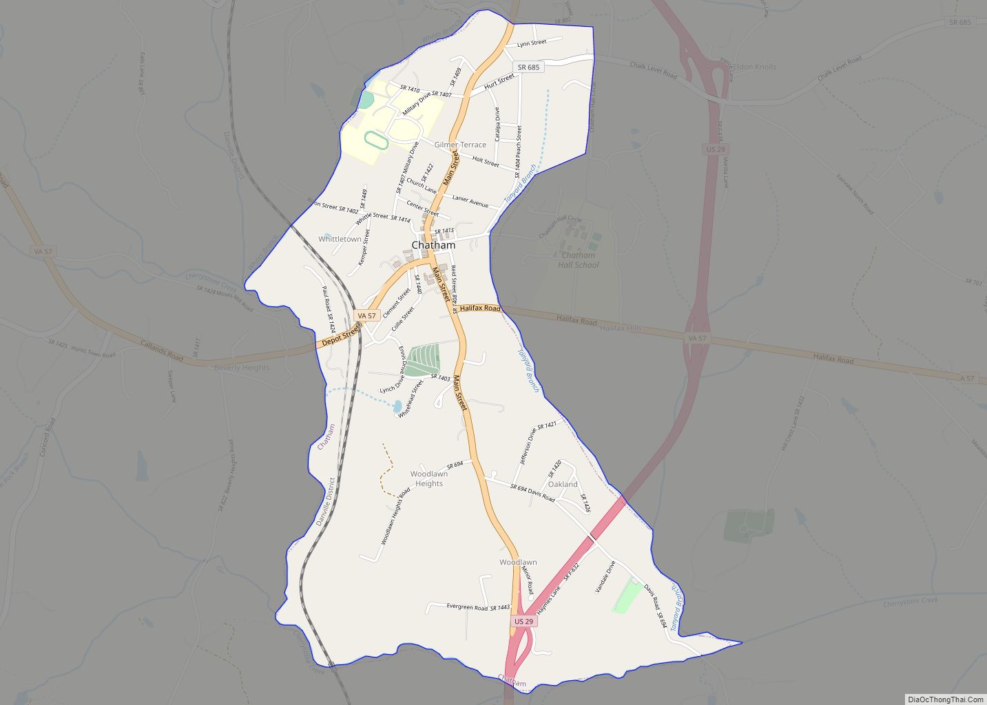
Chatham is a town in Pittsylvania County, Virginia, United States. It is the county seat of Pittsylvania County. Chatham’s population was 1,232 at the 2020 census. It is included in the Danville, Virginia Metropolitan Statistical Area. The town was originally called Competition, but the name was changed to Chatham by the Virginia General Assembly on May 1, 1852.
Chatham is home to Chatham High School, Hargrave Military Academy, and Chatham Hall, an all-female boarding high school.
| Name: | Chatham town |
|---|---|
| LSAD Code: | 43 |
| LSAD Description: | town (suffix) |
| State: | Virginia |
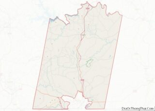
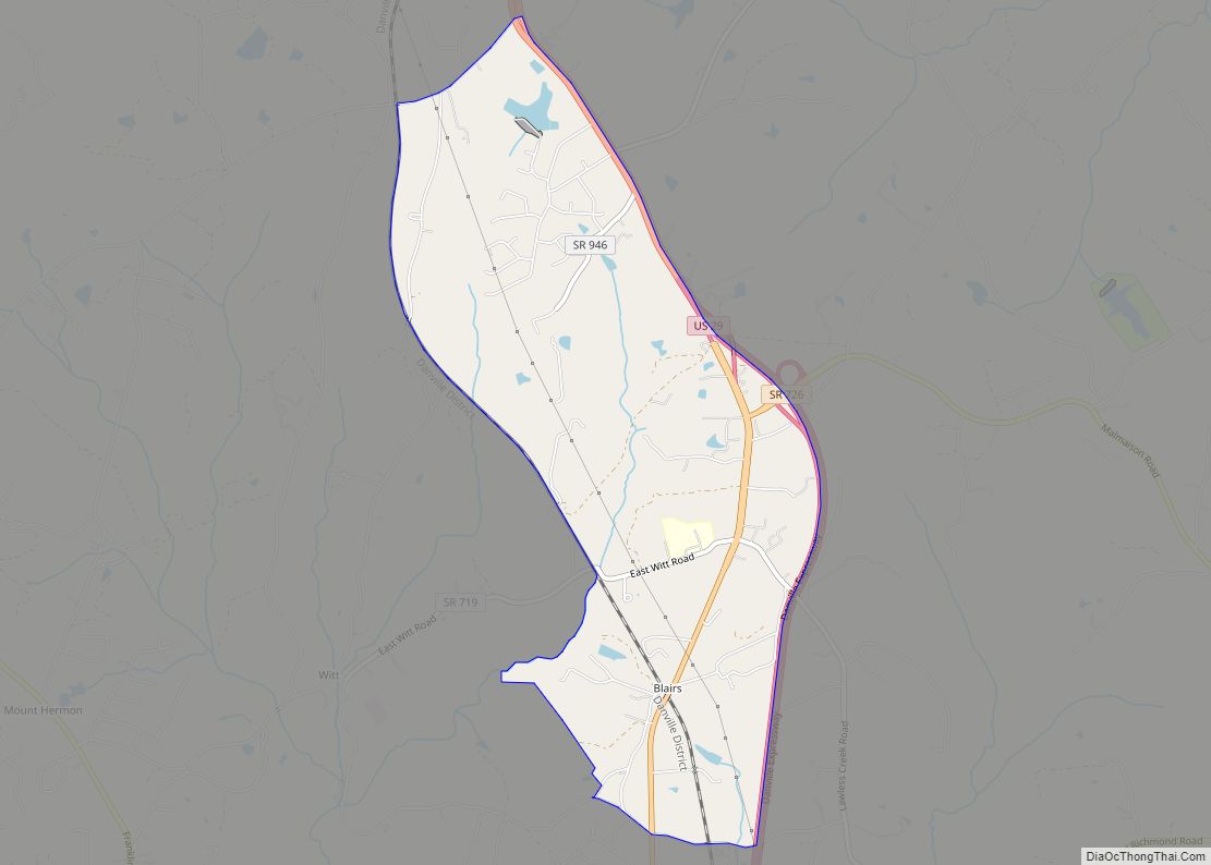
| County: | Pittsylvania County |
| Elevation: | 748 ft (228 m) |
| Total Area: | 2.03 sq mi (5.26 km²) |
| Land Area: | 2.03 sq mi (5.26 km²) |
| Water Area: | 0.00 sq mi (0.01 km²) |
| Total Population: | 1,232 |
| Population Density: | 703.30/sq mi (271.49/km²) |
| ZIP code: | 24531 |
| Area code: | 434 |
| FIPS code: | 5115000 |
| GNISfeature ID: | 1498464 |
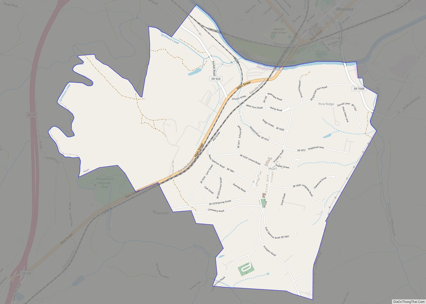
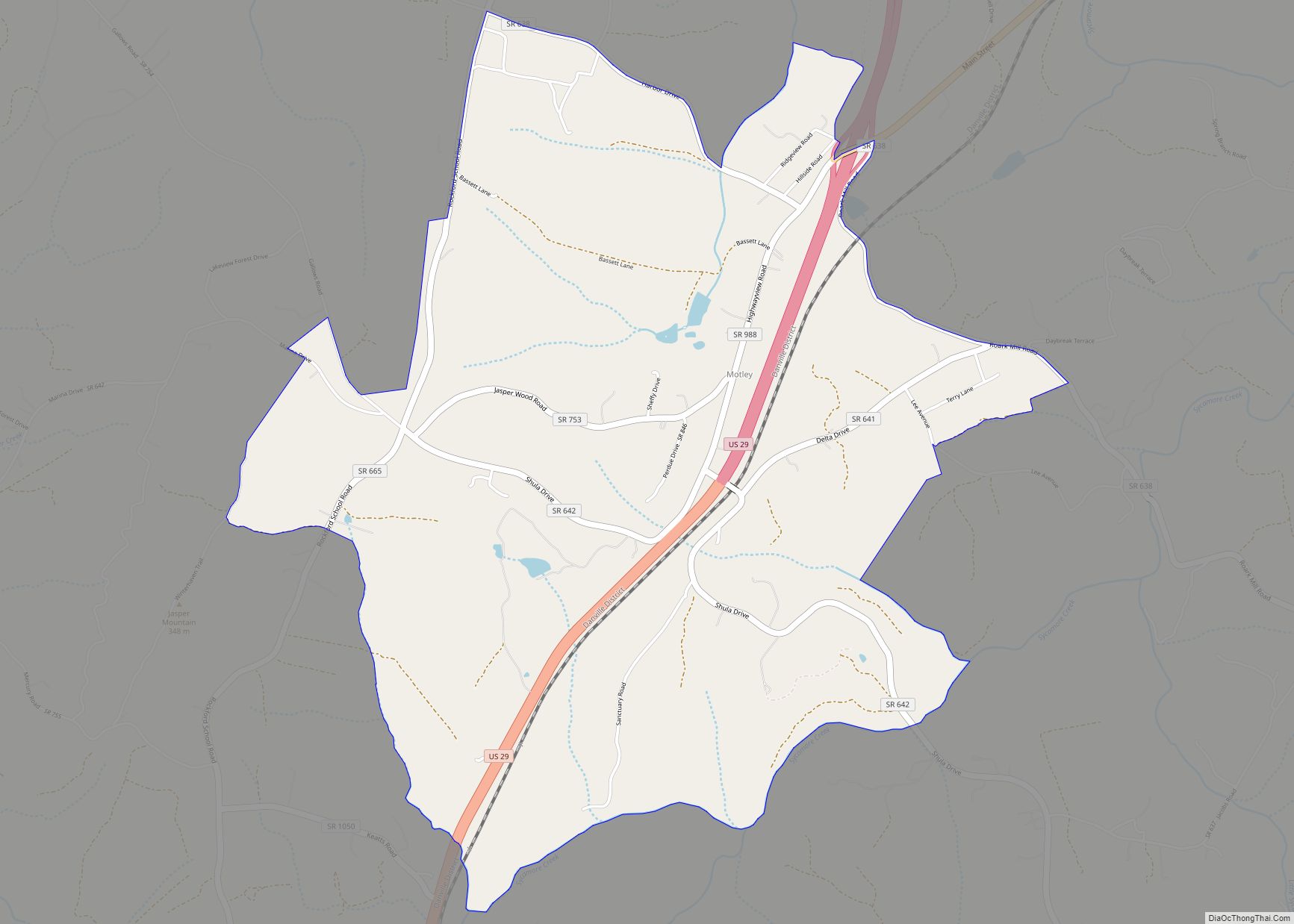
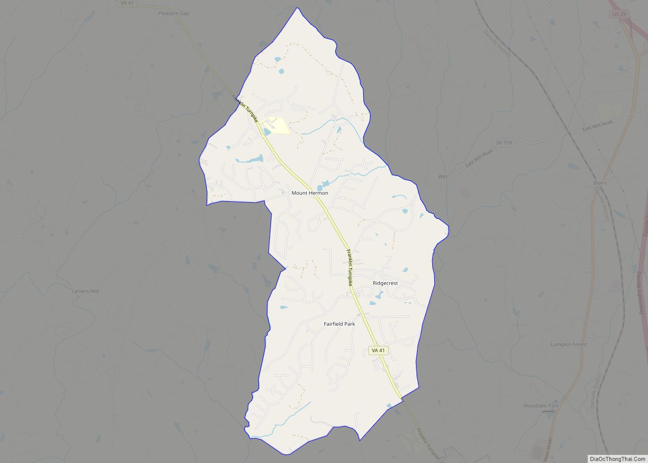
Online Interactive Map
Click on ![]() to view map in "full screen" mode.
to view map in "full screen" mode.
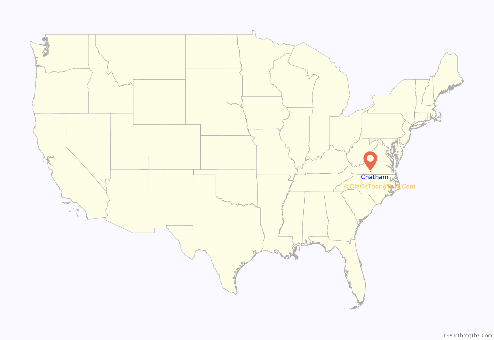
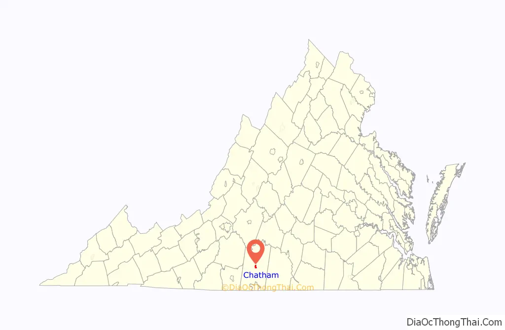
Chatham location map. Where is Chatham town?
History
It is the home to the oldest continually used building in Pittsylvania County, once an 18th-century tavern, since turned into a house and now occupied by Chatham Hall faculty. Chatham is the county seat for Pittsylvania County and has held that status since 1777. There is a large U.S. Department of Agriculture office to support farmers in the area and a small branch office of the U.S. Forestry Service. The State of Virginia has built a new state prison at the site of an old work-release camp and this led to infrastructure upgrades in fire and water services to support the increased population.
Chatham did not see any battle action during the Civil War although it is between Richmond, the capital of the Confederacy, and Danville, which contained Confederate prisons for captured Union soldiers. On Confederate Memorial Day each year, the local chapter of the United Daughters of the Confederacy places flowers at the statue of a Confederate soldier which is prominent in the front of the historic Pittsylvania County Court House. There is a walking tour of this downtown historic district and a brochure for this is available at the Town Hall, or at the Historical Society building next to Town Hall. There are several bed & breakfast establishments located on Main Street in historic Greek Revival homes.
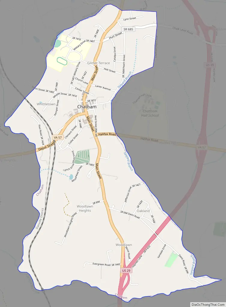
Chatham Road Map
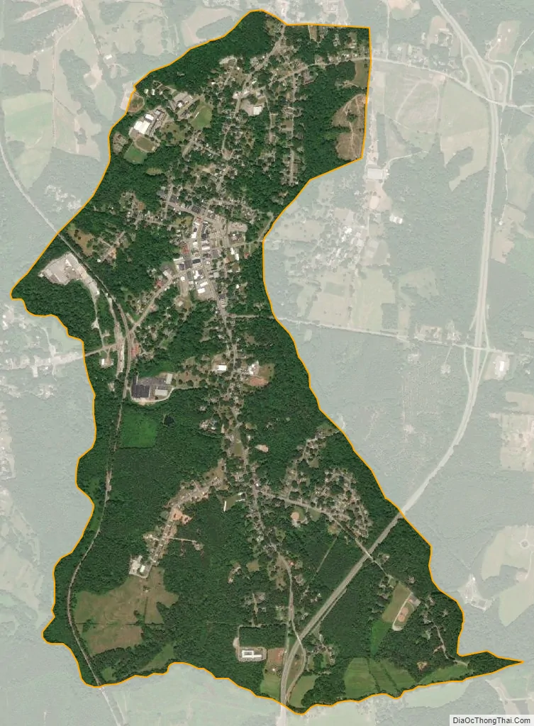
Chatham city Satellite Map
Geography
According to the United States Census Bureau, Chatham has a total area of 2.0 square miles (5.3 km), all of it land.
See also
Map of Virginia State and its subdivision:- Accomack
- Albemarle
- Alexandria
- Alleghany
- Amelia
- Amherst
- Appomattox
- Arlington
- Augusta
- Bath
- Bedford
- Bedford City
- Bland
- Botetourt
- Bristol
- Brunswick
- Buchanan
- Buckingham
- Buena Vista
- Campbell
- Caroline
- Carroll
- Charles City
- Charlotte
- Charlottesville
- Chesapeake
- Chesterfield
- Clarke
- Clifton Forge City
- Colonial Heights
- Covington
- Craig
- Culpeper
- Cumberland
- Danville
- Dickenson
- Dinwiddie
- Emporia
- Essex
- Fairfax
- Fairfax City
- Falls Church
- Fauquier
- Floyd
- Fluvanna
- Franklin
- Frederick
- Fredericksburg
- Galax
- Giles
- Gloucester
- Goochland
- Grayson
- Greene
- Greensville
- Halifax
- Hampton
- Hanover
- Harrisonburg
- Henrico
- Henry
- Highland
- Hopewell
- Isle of Wight
- James City
- King and Queen
- King George
- King William
- Lancaster
- Lee
- Lexington
- Loudoun
- Louisa
- Lunenburg
- Lynchburg
- Madison
- Manassas
- Manassas Park
- Martinsville
- Mathews
- Mecklenburg
- Middlesex
- Montgomery
- Nelson
- New Kent
- Newport News
- Norfolk
- Northampton
- Northumberland
- Norton
- Nottoway
- Orange
- Page
- Patrick
- Petersburg
- Pittsylvania
- Poquoson
- Portsmouth
- Powhatan
- Prince Edward
- Prince George
- Prince William
- Pulaski
- Radford
- Rappahannock
- Richmond
- Roanoke
- Roanoke City
- Rockbridge
- Rockingham
- Russell
- Salem
- Scott
- Shenandoah
- Smyth
- Southampton
- Spotsylvania
- Stafford
- Staunton
- Suffolk
- Surry
- Sussex
- Tazewell
- Virginia Beach
- Warren
- Washington
- Waynesboro
- Westmoreland
- Williamsburg
- Winchester
- Wise
- Wythe
- York
- Alabama
- Alaska
- Arizona
- Arkansas
- California
- Colorado
- Connecticut
- Delaware
- District of Columbia
- Florida
- Georgia
- Hawaii
- Idaho
- Illinois
- Indiana
- Iowa
- Kansas
- Kentucky
- Louisiana
- Maine
- Maryland
- Massachusetts
- Michigan
- Minnesota
- Mississippi
- Missouri
- Montana
- Nebraska
- Nevada
- New Hampshire
- New Jersey
- New Mexico
- New York
- North Carolina
- North Dakota
- Ohio
- Oklahoma
- Oregon
- Pennsylvania
- Rhode Island
- South Carolina
- South Dakota
- Tennessee
- Texas
- Utah
- Vermont
- Virginia
- Washington
- West Virginia
- Wisconsin
- Wyoming