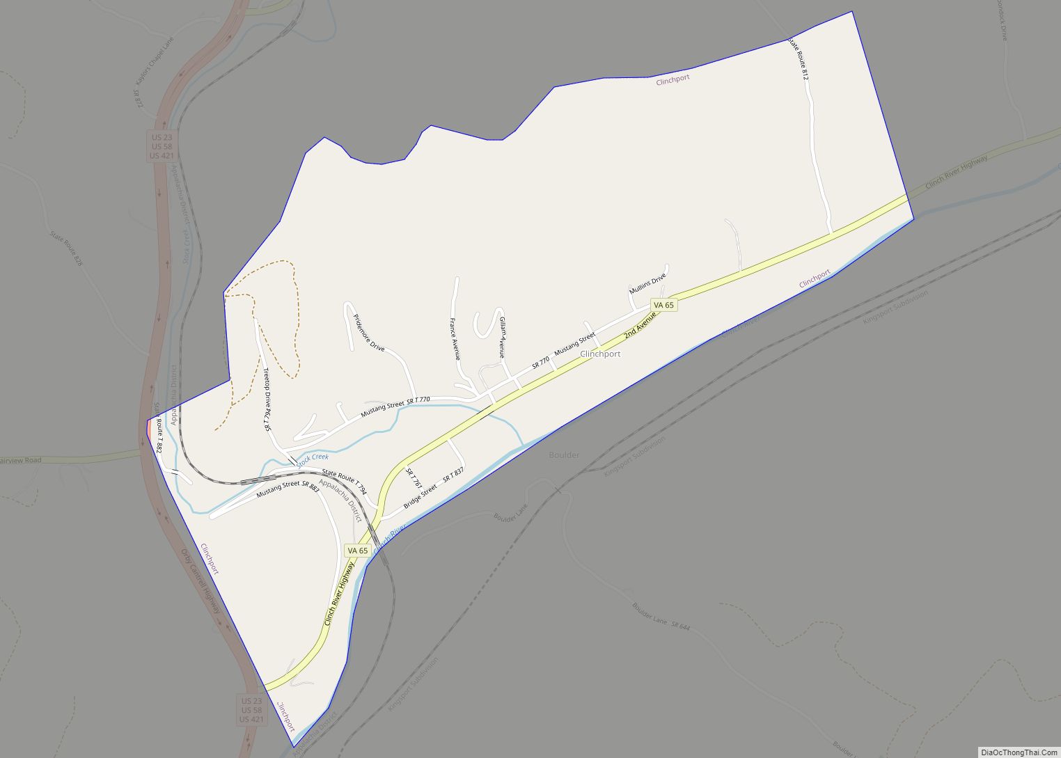
Map of Carrollton CDP, Virginia

Map of Carrollton CDP, Virginia

Carrollton is a census-designated place (CDP) in Isle of Wight County, Virginia, United States. The population as of the 2010 census was 4,574. Carrollton is located near the southern end of the James River Bridge across from Newport News. Carrollton has recently experienced growth as a bedroom community. Carrollton CDP overview: Name: Carrollton CDP LSAD … Read more

Map of Captains Cove CDP

Map of Captains Cove CDP

Captains Cove is a census-designated place in Accomack County, Virginia. Per the 2020 census, the population was 1,544. Known as Captain’s Cove Golf & Yacht Club, it is a recreational community located on the west shore of Chincoteague Bay, bordering Maryland to the north. While numerous families with children live here, it’s largely a retirement … Read more

Map of Capron town, Virginia

Map of Capron town, Virginia

Capron is a town in Southampton County, Virginia, United States. The population was 167 at the 2000 census. Capron town overview: Name: Capron town LSAD Code: 43 LSAD Description: town (suffix) State: Virginia County: Southampton County Elevation: 112 ft (34 m) Total Area: 0.17 sq mi (0.43 km²) Land Area: 0.17 sq mi (0.43 km²) Water Area: 0.00 sq mi (0.00 km²) Total Population: 166 Population … Read more

Map of Cape Charles town

Map of Cape Charles town

Cape Charles is a town / municipal corporation in Northampton County, Virginia, United States. The population was 1,009 as of the 2010 Census. Cape Charles town overview: Name: Cape Charles town LSAD Code: 43 LSAD Description: town (suffix) State: Virginia County: Northampton County Elevation: 3 ft (0.9 m) Total Area: 3.62 sq mi (9.36 km²) Land Area: 3.55 sq mi (9.20 km²) Water … Read more

Map of Cana CDP

Map of Cana CDP

Cana is a census-designated place (CDP) in Carroll County, Virginia, United States. The population was 1,254 at the 2010 census, up from 1,228 in 2000. It is the only CDP designated area in the county that is outside of the Appalachian Mountains in the Virginia Piedmont. Cana CDP overview: Name: Cana CDP LSAD Code: 57 … Read more

Map of Camptown CDP

Map of Camptown CDP

Camptown is a census-designated place in Isle of Wight County, Virginia, United States, lying just east of Franklin. The population as of the 2010 census was 766. The International Paper mill (formerly Union Camp, now closed) is here along with a black Community known as Camptown. Camptown CDP overview: Name: Camptown CDP LSAD Code: 57 … Read more

Map of Calverton CDP, Virginia

Map of Calverton CDP, Virginia

Calverton is an unincorporated community and census-designated place (CDP) in Fauquier County, Virginia, United States. The population as of the 2010 census was 239. The village runs along Virginia State Route 28 and its crossroad, Bristersburg Road. Calverton has a Southern States store, a small country store, and post office. Its ZIP code is 20138. … Read more

Map of Callaghan CDP

Map of Callaghan CDP

Callaghan is an Unincorporated community and census-designated place (CDP) in Alleghany County, Virginia, United States. The population as of the 2010 Census was 348. Humpback Covered Bridge and Wood Hall are listed on the U.S. National Register of Historic Places. Callaghan CDP overview: Name: Callaghan CDP LSAD Code: 57 LSAD Description: CDP (suffix) State: Virginia … Read more

Map of Burkeville town

Map of Burkeville town

Burkeville is a town in Nottoway County, Virginia, United States. The population was 432 at the 2010 census. The source of the town name is disputed. The town is located on the crossroads of U.S. Routes 360 and 460. Businesses in the small town of Burkeville include a stone quarry, a Southern States Cooperative store, … Read more

Map of Burke CDP, Virginia

Map of Burke CDP, Virginia

Burke is an unincorporated section of Fairfax County, Virginia, United States, traditionally defined as the area served by the Burke post office (Zip Code 22015). Burke includes two census-designated places: the Burke CDP, population 42,312 in 2020 and the Burke Centre CDP, population 17,518 in 2020. Burke CDP overview: Name: Burke CDP LSAD Code: 57 … Read more

Map of Chamberlayne CDP

Map of Chamberlayne CDP

Chamberlayne is a census-designated place (CDP) in Henrico County, Virginia, United States. The population was 5,581 at the 2020 census. Chamberlayne CDP overview: Name: Chamberlayne CDP LSAD Code: 57 LSAD Description: CDP (suffix) State: Virginia County: Henrico County Elevation: 180 ft (50 m) Total Area: 3.7 sq mi (9.5 km²) Land Area: 3.4 sq mi (8.7 km²) Water Area: 0.3 sq mi (0.9 km²) Total Population: … Read more

Map of Centreville CDP, Virginia

Map of Centreville CDP, Virginia

Centreville is a census-designated place (CDP) in Fairfax County, Virginia, United States and a suburb of Washington, D.C. The population was 73,518 as of the 2020 census. Centreville is approximately 20 miles (32 km) west of Washington, D.C. Centreville CDP overview: Name: Centreville CDP LSAD Code: 57 LSAD Description: CDP (suffix) State: Virginia County: Fairfax County … Read more